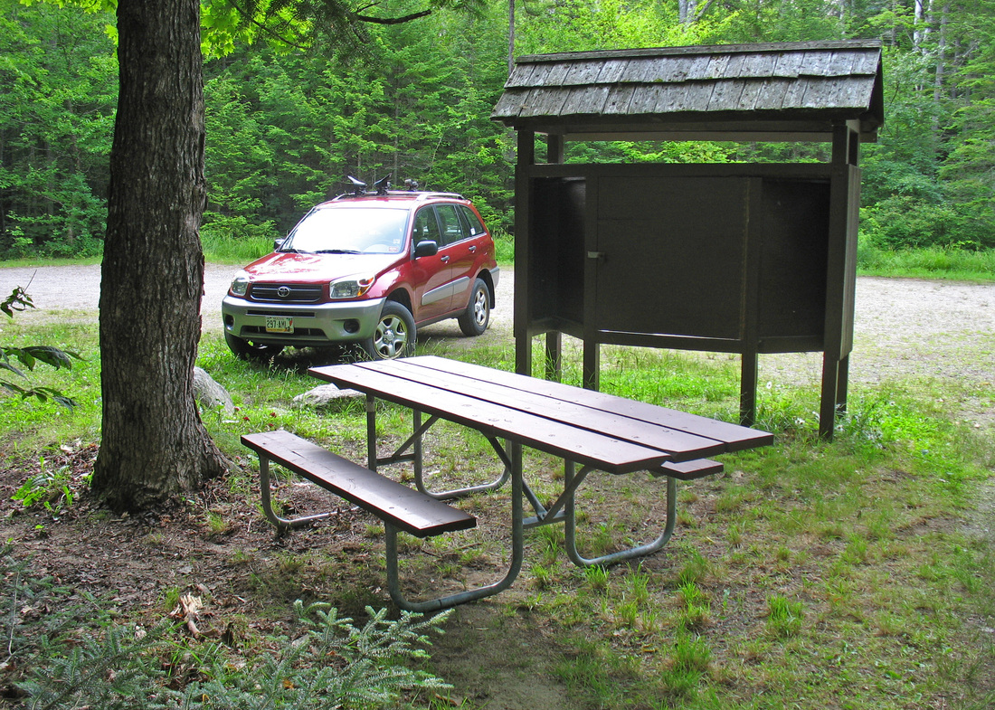
Friday, 08 July 2011 Shelburne-Moriah, New Hampshire
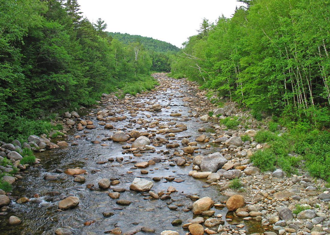
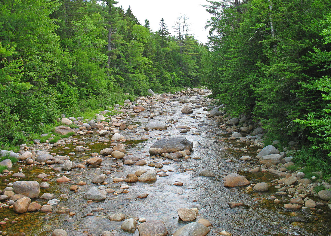
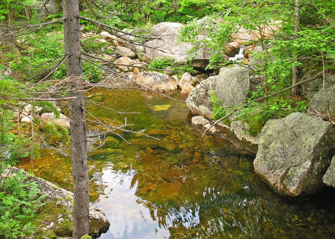
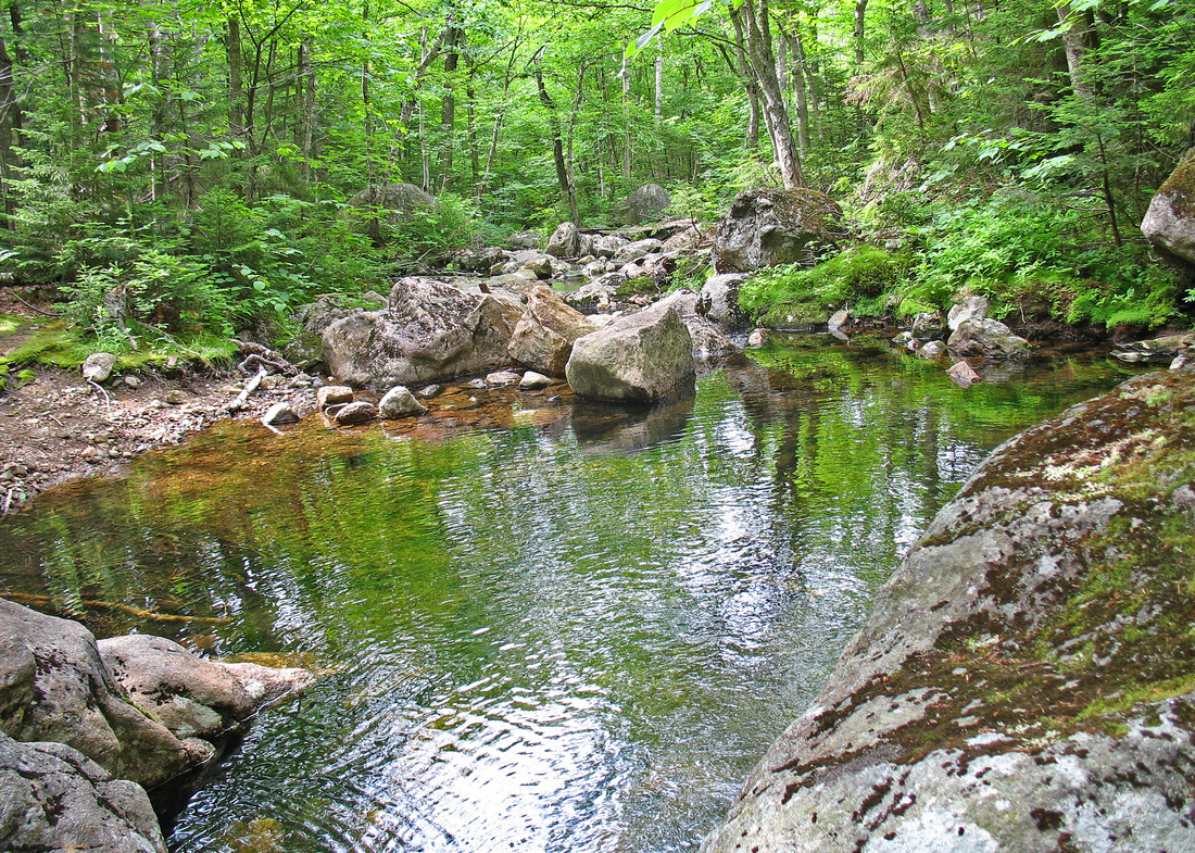
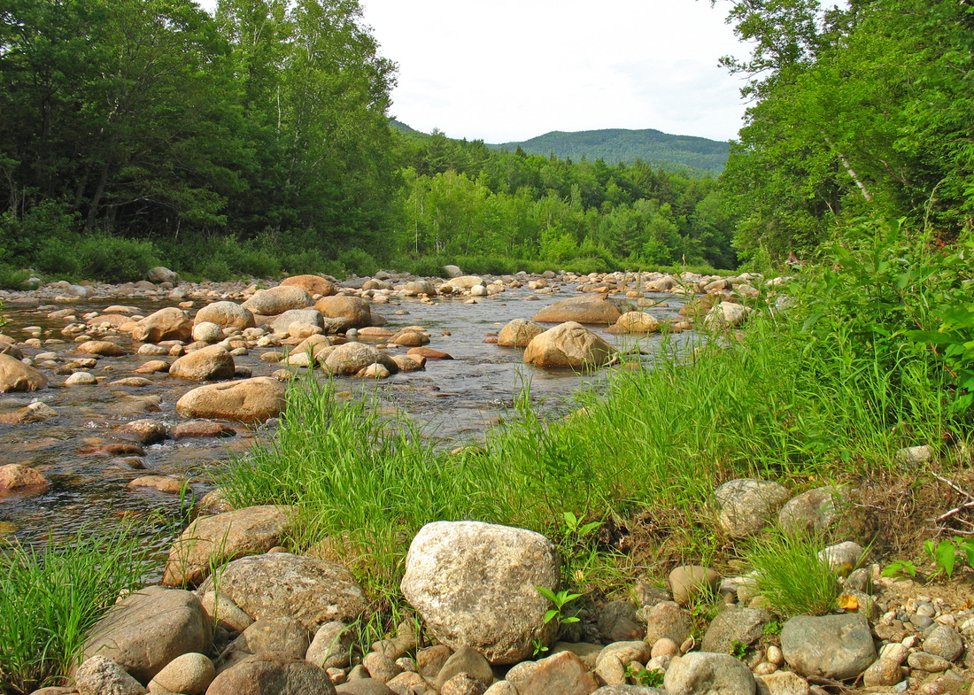
Looking downstream along the Wild River
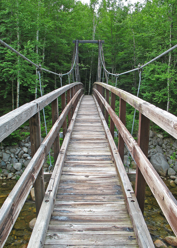
I've had a big loop between the Wild River and the Moriah Range in mind for some time and with a great forecast for low humidity and lowish temperatures, today was the day. I got to the Wild River Campground and took my first steps at 7:30, a half hour later than I wanted but to a bad start to the day. I was foggy but lifting, and chilly. I moved quickly to generate heat as my light shorts and t-shirt weren't enough. I set out through the campground which was quiet with still-sleeping campers. By the time I got to the bridge across the Wild River I was warm and took a few minutes to enjoy the view up and down the river. After crossing, I turned upstream and in a few minutes the Moriah Brook Trail tipped uphill, leaving the Highwater Trail behind.
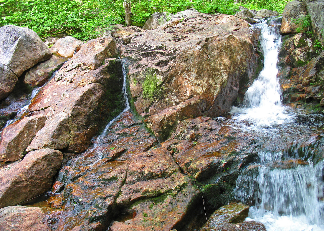
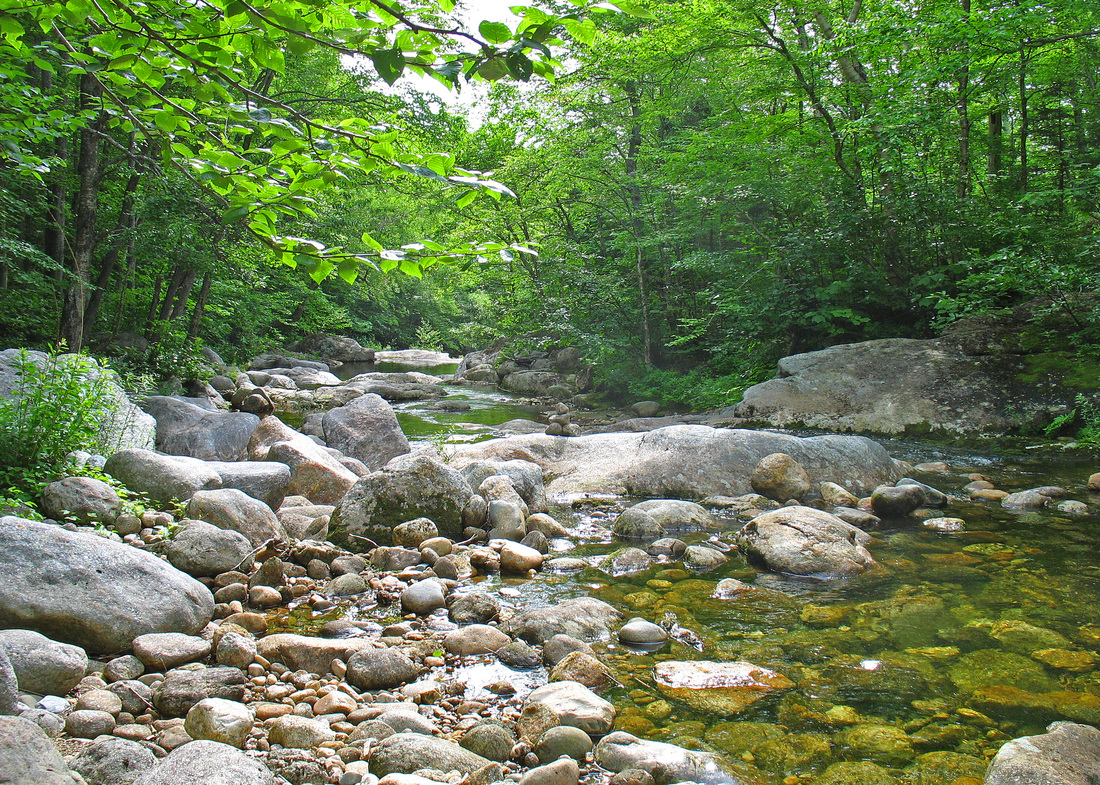
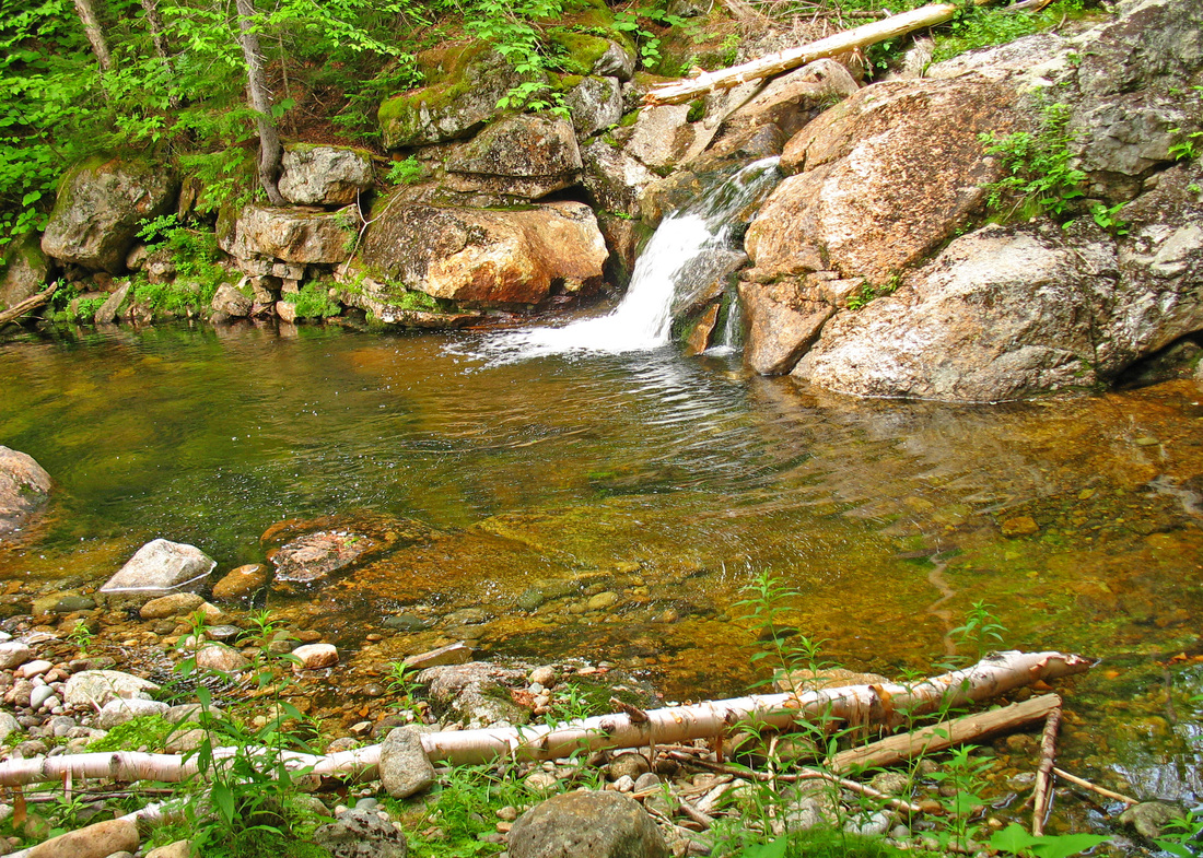
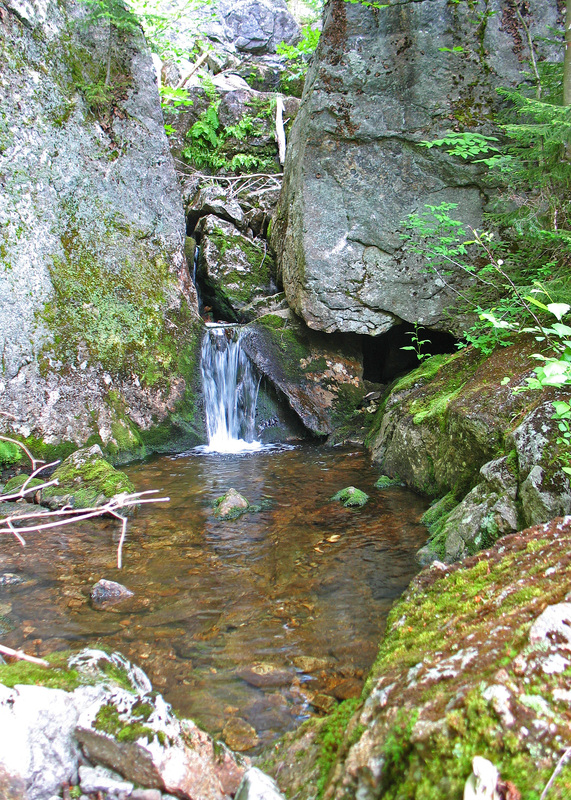
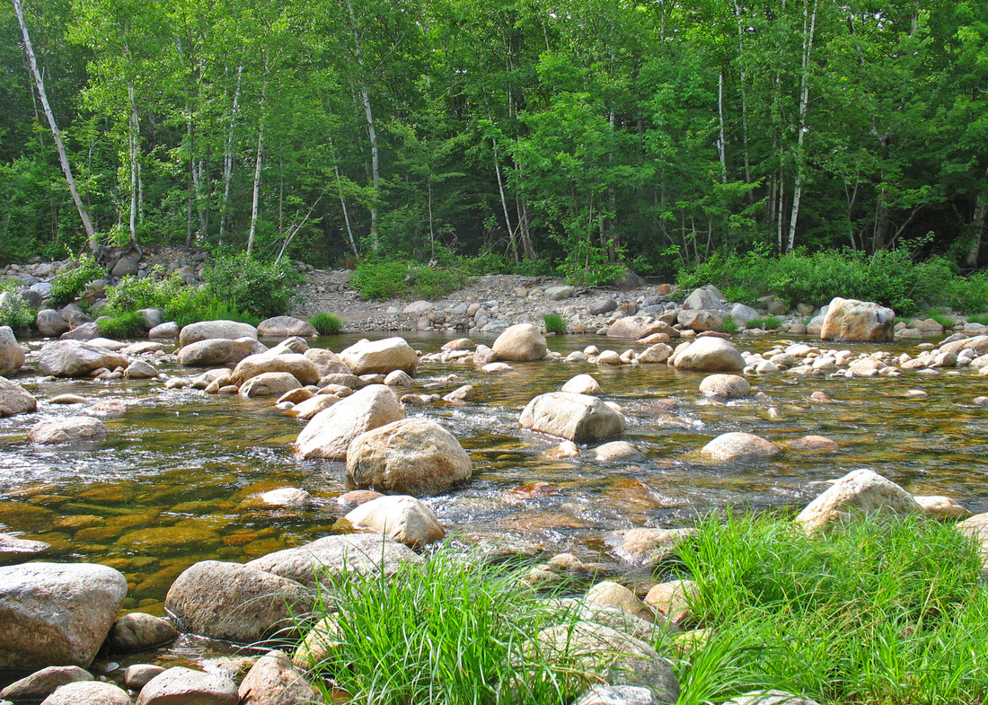
One of many lovely cascades
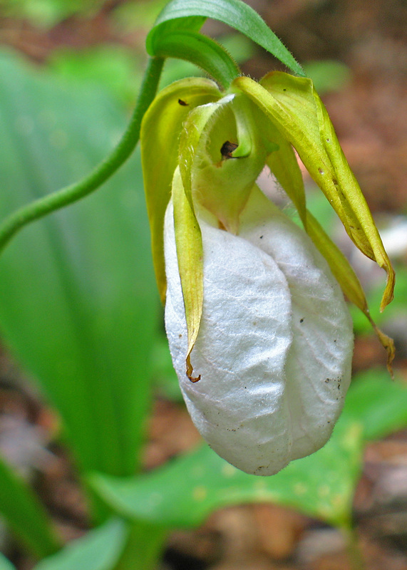
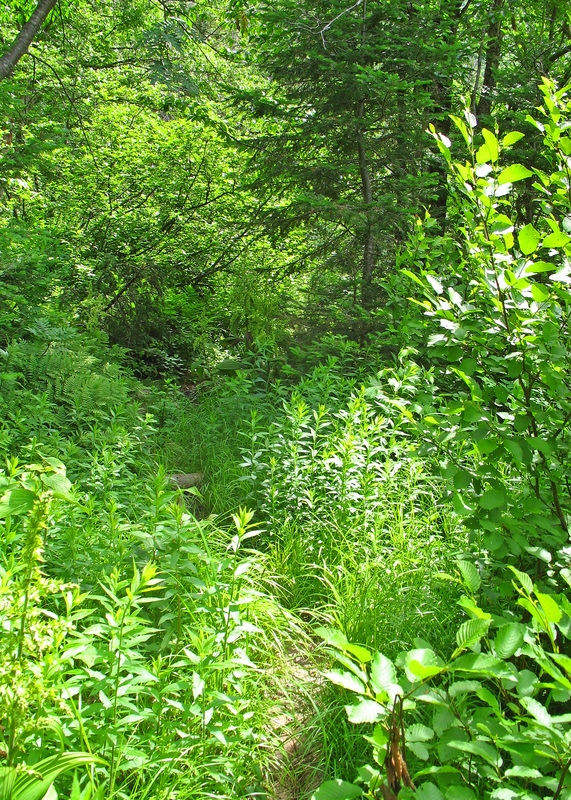
As I approached the crossing just above Moriah Gorge I saw a hiker leaving from the other side of the stream. I tried to hop across a couple times but the rocks were slimy and widely spaced. I ended up taking off shoes and socks to get across. It was still early and I didn't want wet shoes for the rest of the hike. Once across, the trail followed the brook along its western bank for a distance before crossing again. As I approached the second crossing, the other hiker was just stepping out of the stream, having forded with his shoes on. I pulled my shoes off again to make the ankle-deep wade. The trail continued to climb up humane grades, following the stream. More and more birch trees filled the woods as the stream grew narrower and tumbled over small cascades and into tiny pools. On a warmer day, and with fewer miles ahead of me, I might have found them irresistible. The fog continued to lift, and morning sun filtered through leaves and needles. There were several more crossings as I climbed but all were easy rock hops now. At one diminutive crossing, I looked up to see cliffs through the tree tops. I was nearing the ridge and the grade steepened. The trail was thick in places with encroaching hobblebush and other plants, sometimes hiding boot-sucking mud hoes that required some delicate negotiation. In a more open section, I admired a solitary white lady's slipper. Soon I was startled by a "Hello!" and I looked up to see the hiker I had noticed lower down. We hiked together and chatted for the last few minutes up to the ridge where he turned south and I stopped to eat a snack before heading north.
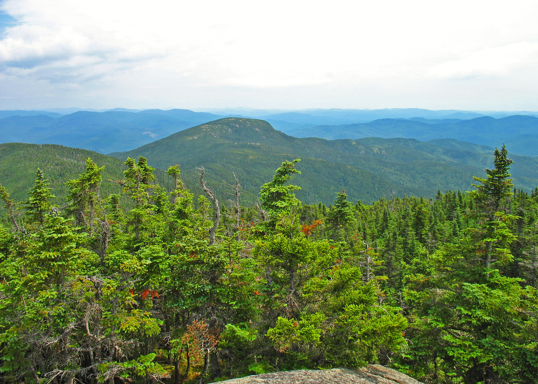
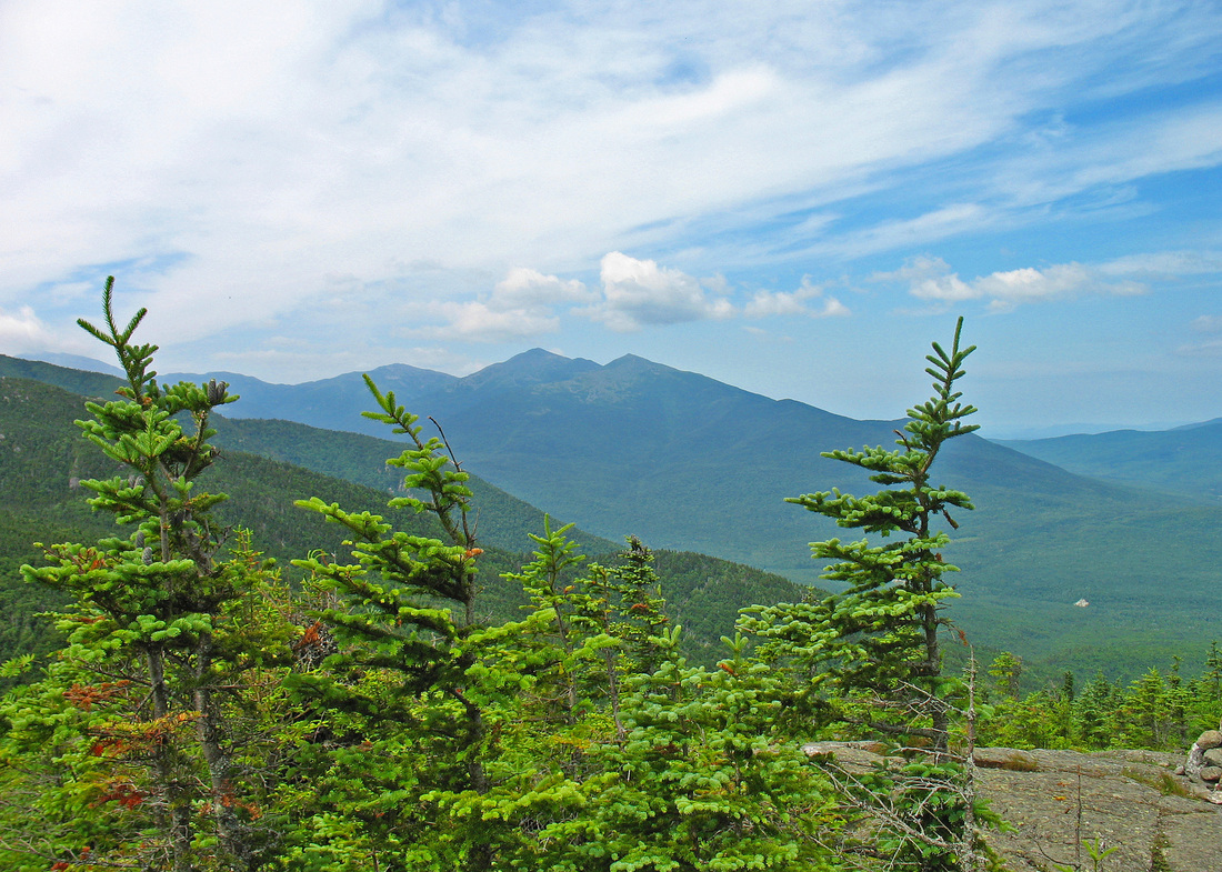
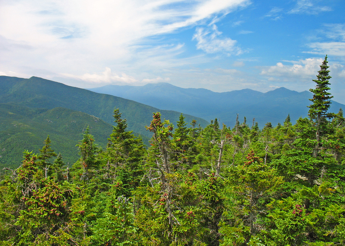
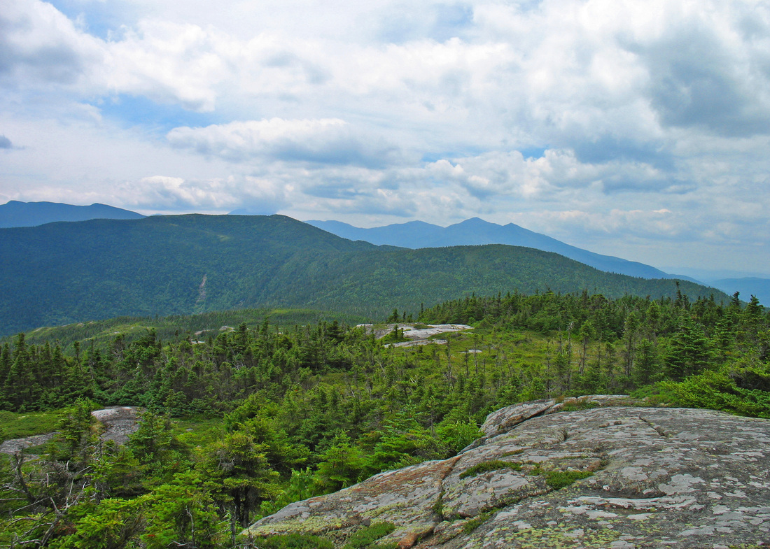
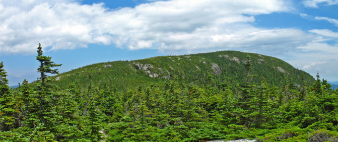
From Mt. Moriah to Shelburne-Moriah
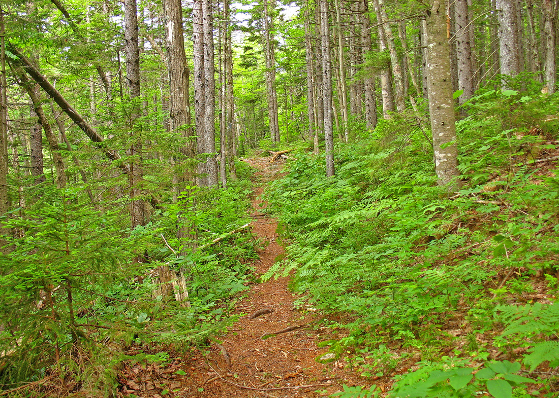
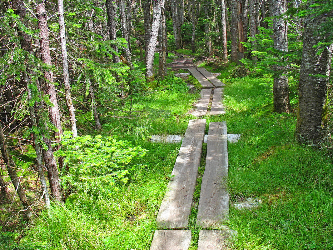
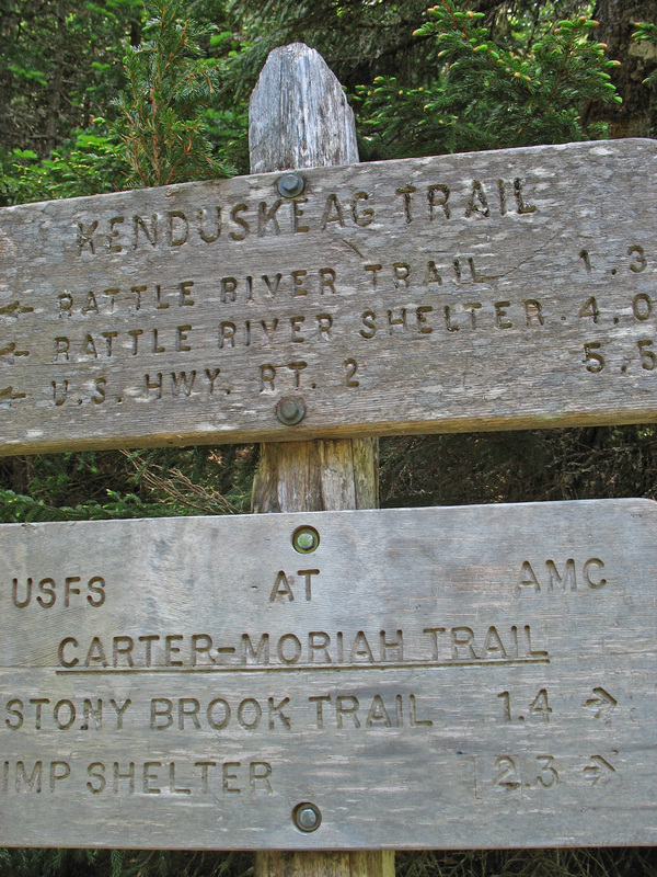
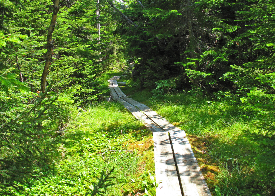
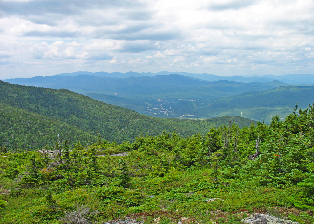
As I sat down to eat and rest, a mother and her ten-year-old son approached. It would be the boy's thirteenth four-thousand-footer and he is looking forward to hiking them all. Heading north along the Carter-Moriah Trail (also the AT), I was on familiar ground, having hiked Moriah via the Stoney Brook Trail once before. Almost immediately, I was presented with a view and I recalled that more would be coming up. The trail rose over several partially open knobs with views in different directions and on one I passed an AT hiker. Sooner than I had expected, I arrived at a trail junction just below the summit of Mt. Moriah. Reaching the summit involved scrambling up a cute little ledge about three or four meters high, and then walking around to come up the back side of the summit knob. It was windy on top but the views were quite good. The air was a bit hazy in some directions but quite clear in others. I stayed only briefly on top as this was only the halfway point of my 25-km hike. As I scooted back down the ledge, I met the mom and young boy on their way up. I continued northward still following the AT, but here it is also known as the Kenduskeag Trail. From this point on I would be following trails I had not hiked before. The descent from Moriah was steep but the trail was well maintained. I passed another southbound AT hiker and he was the let person I would see until I returned to the campground. Where the trail wasn't plummeting downward it was flat and often "paved" with bog bridges which offered a dry and solid treadway through seemingly bottomless emerald moss. Many birds provided a soundtrack to my travels. Winter wrens and Swainson's thrushes took the lead and white-throated sparrows and golden-crowned kinglets made occasional remarks. Blackpoll warblers whispered from the dense tangle of stunted spruce and fir trees. A ruby-crowned kinglet said nothing, but flitted excitedly among low branches as I passed.
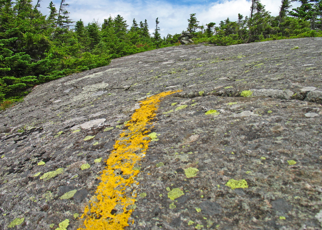
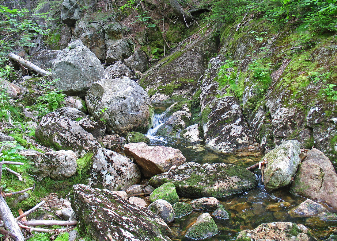
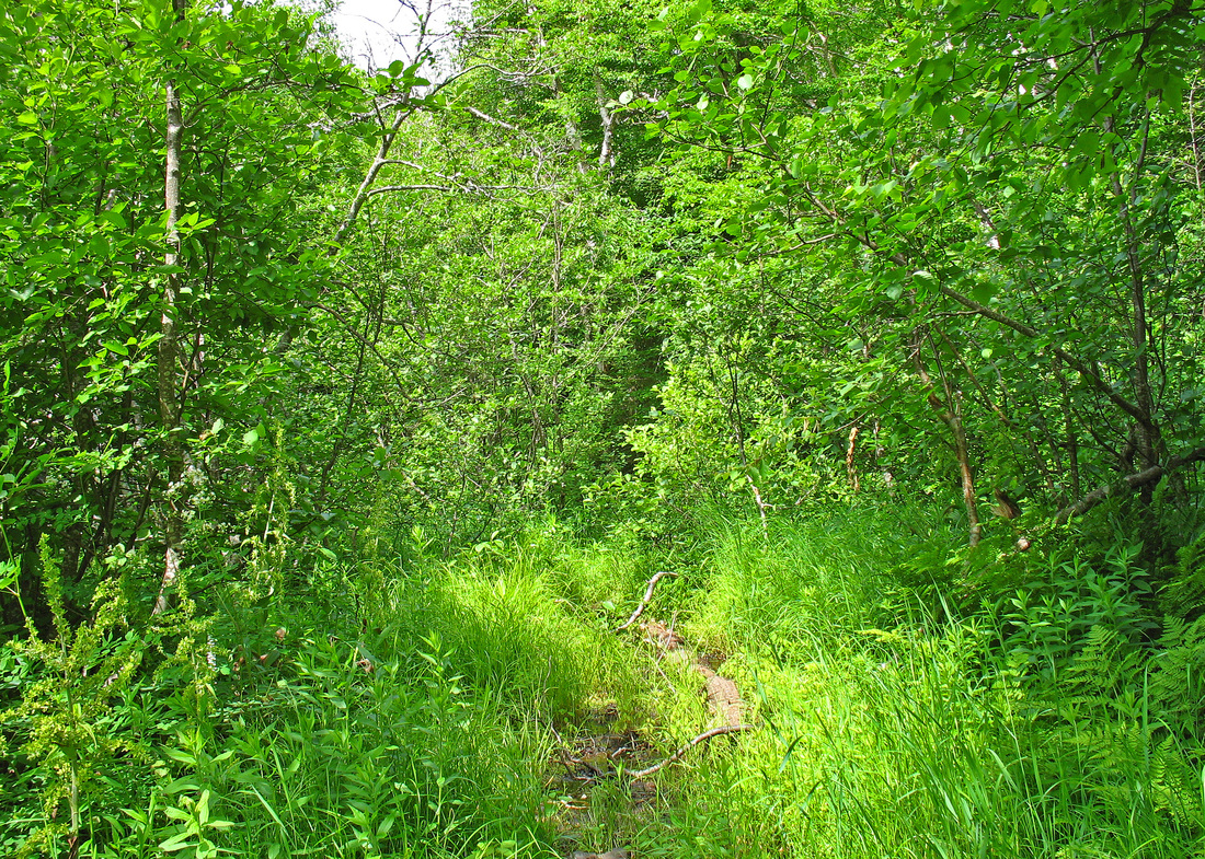
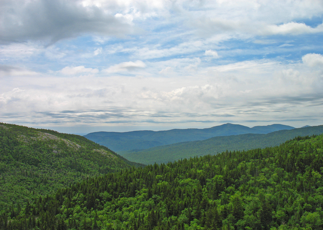
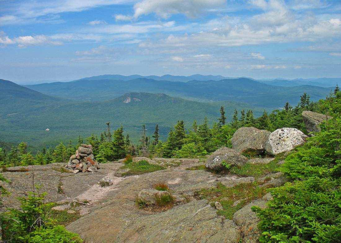
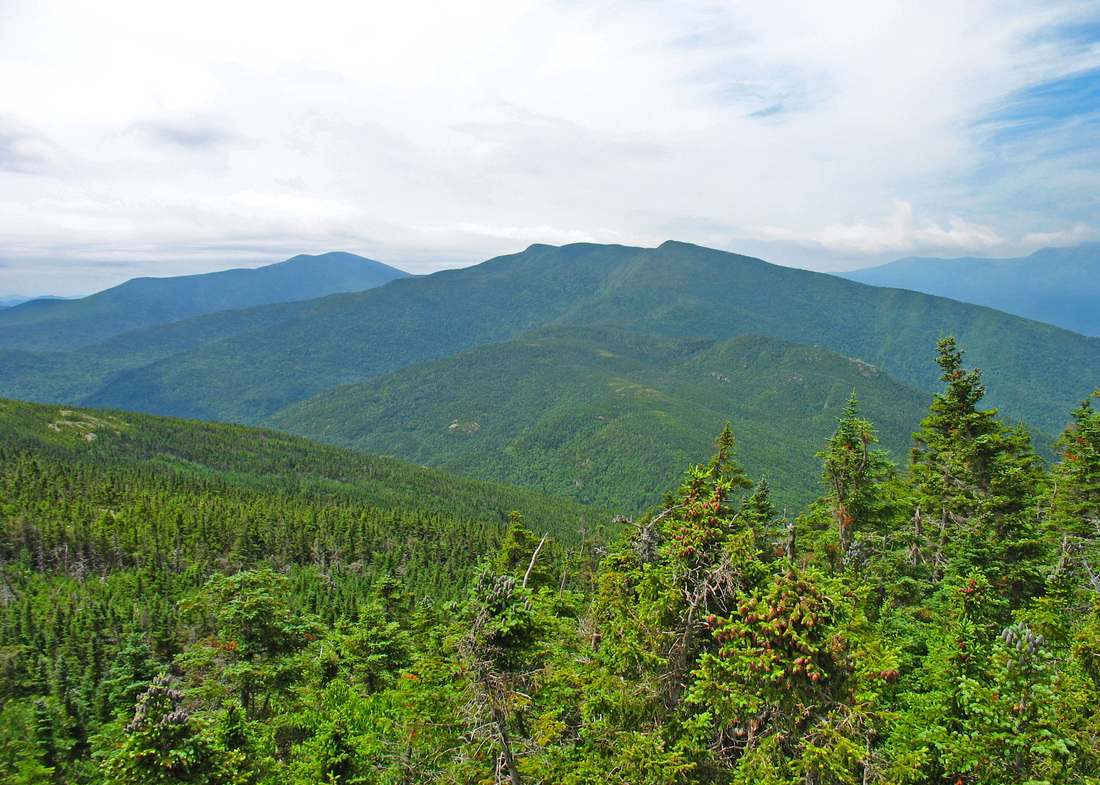
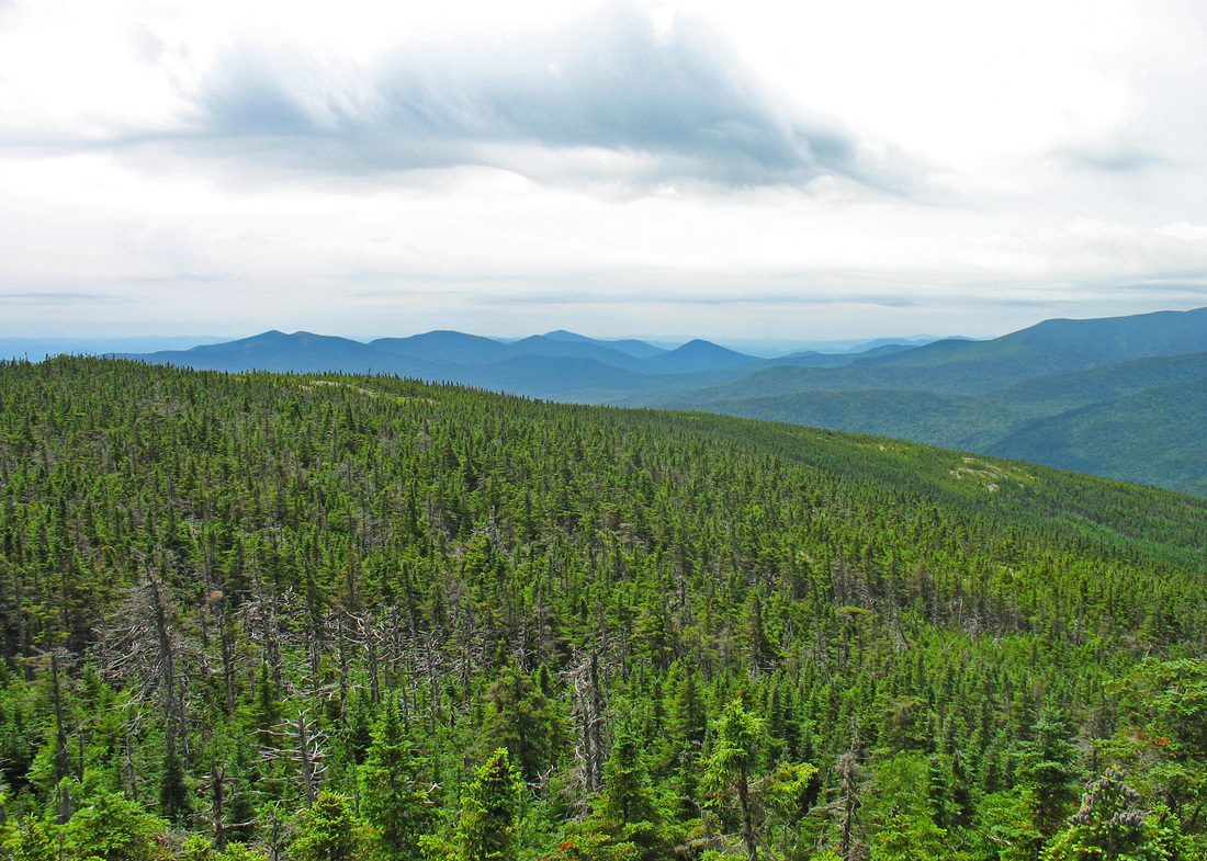
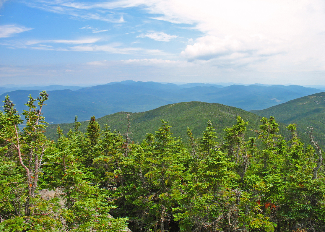
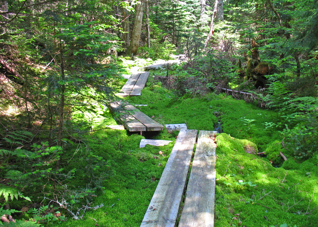
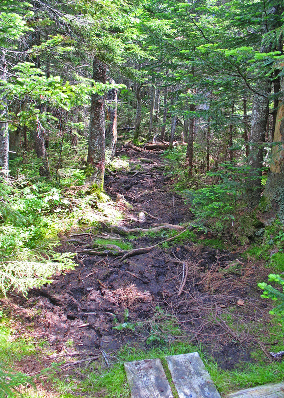
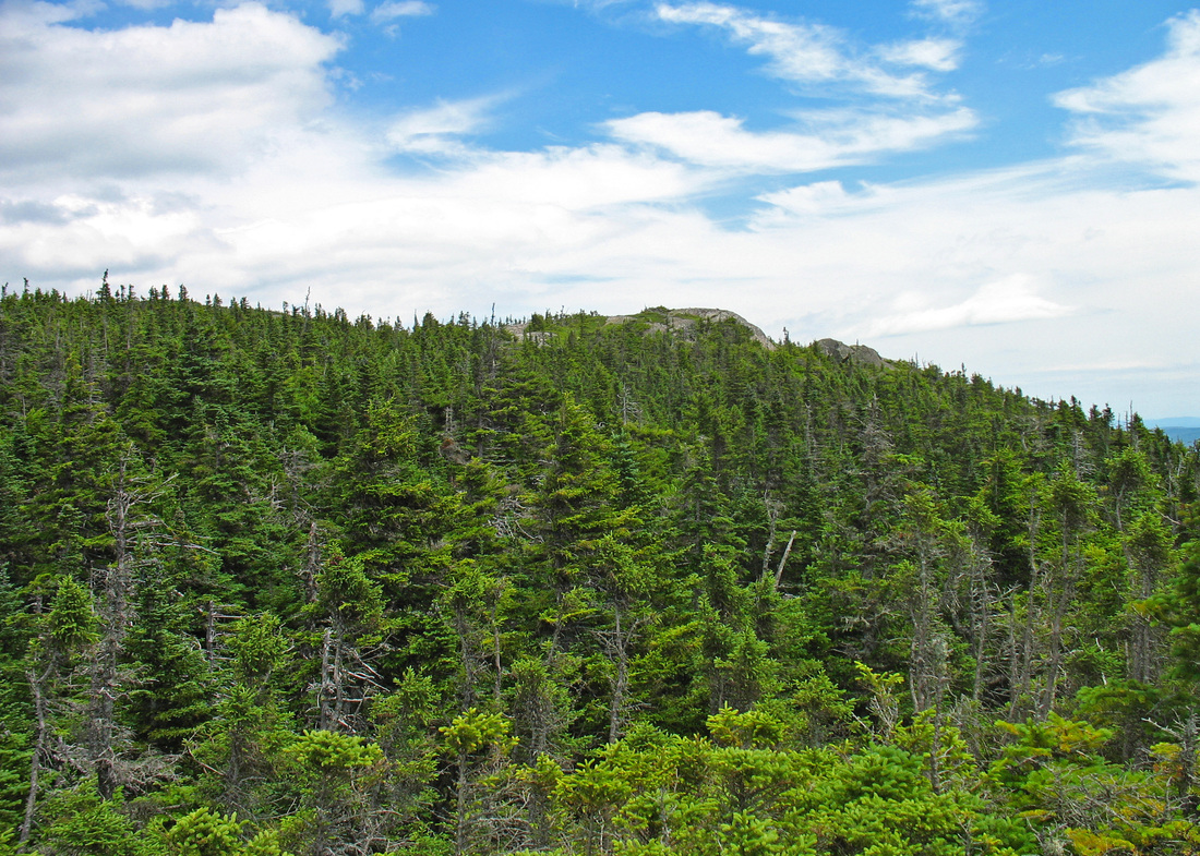
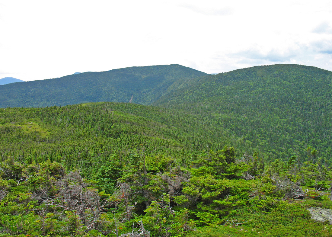
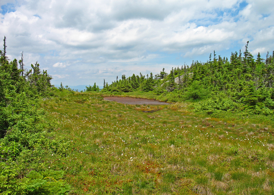
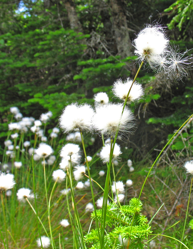
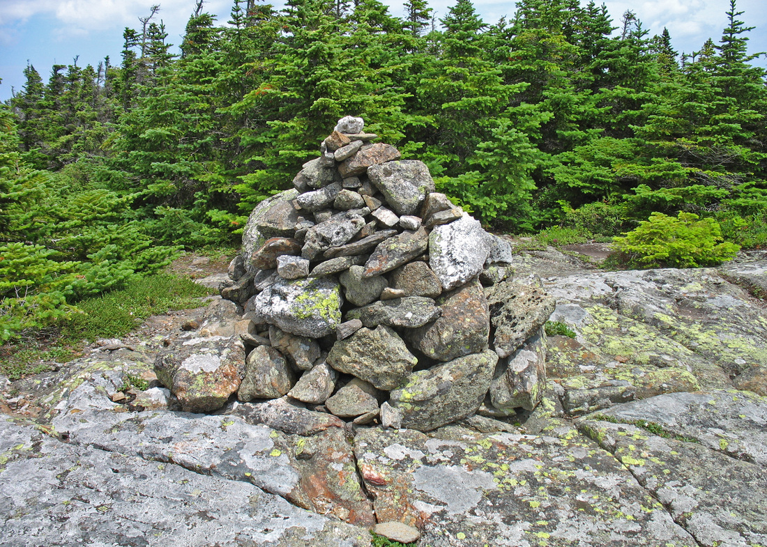
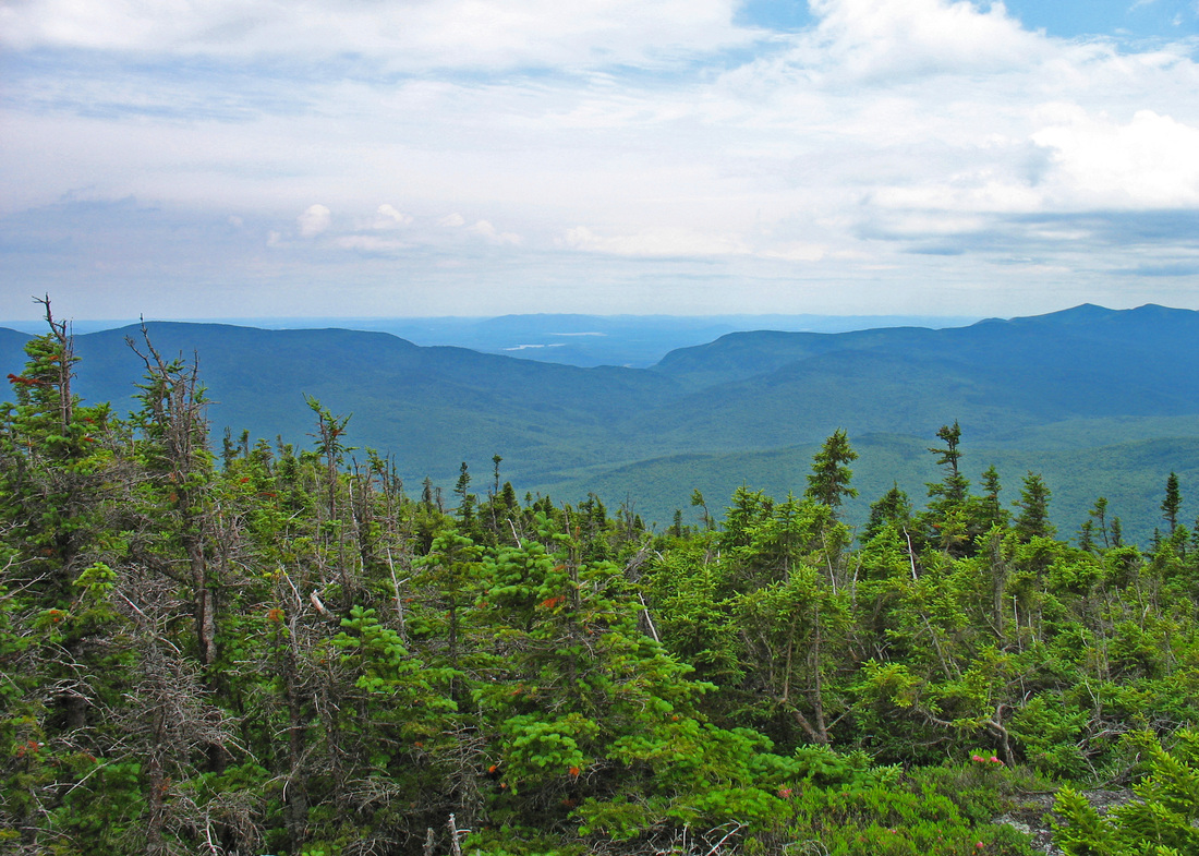
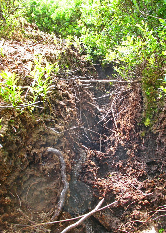
An unusual blaze
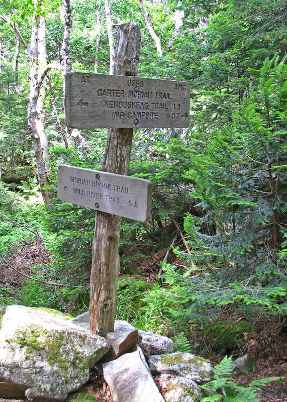
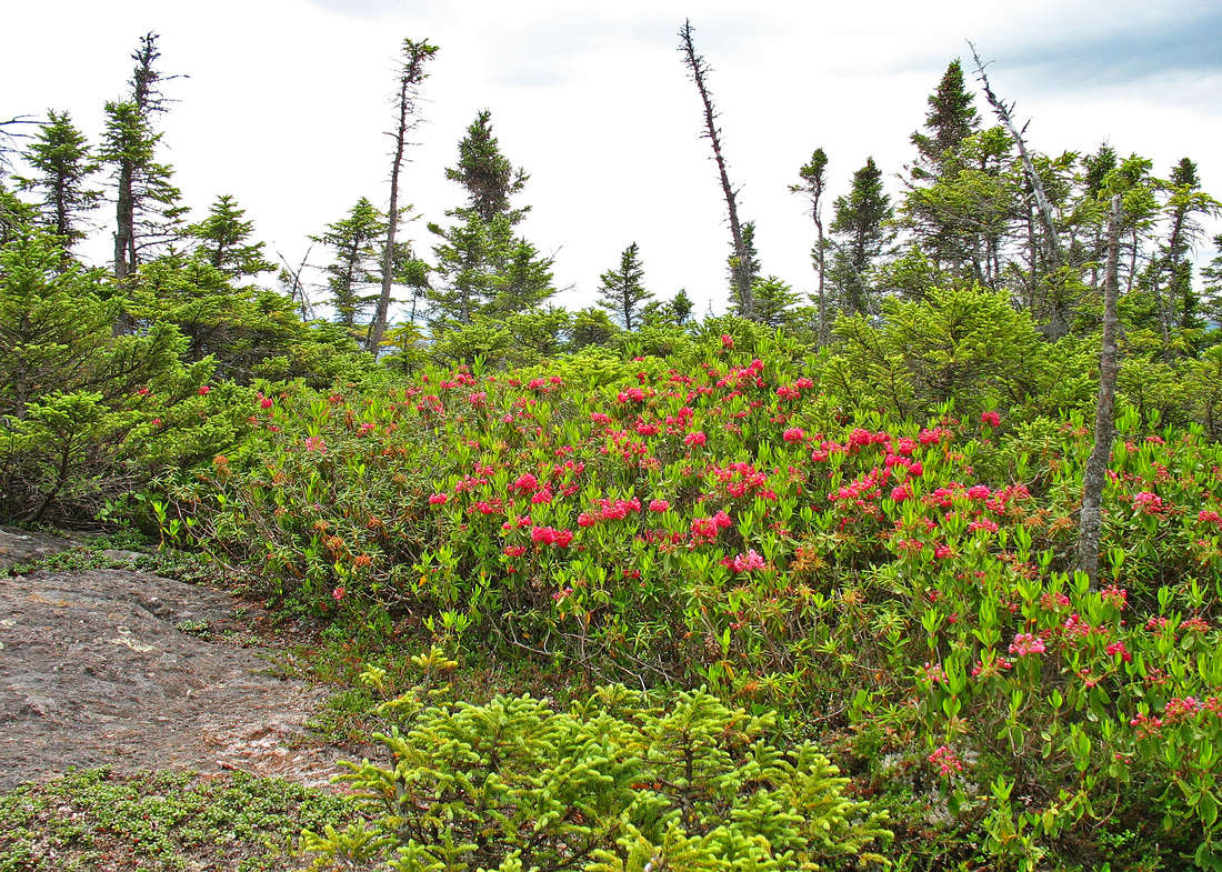
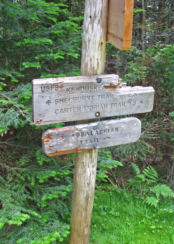
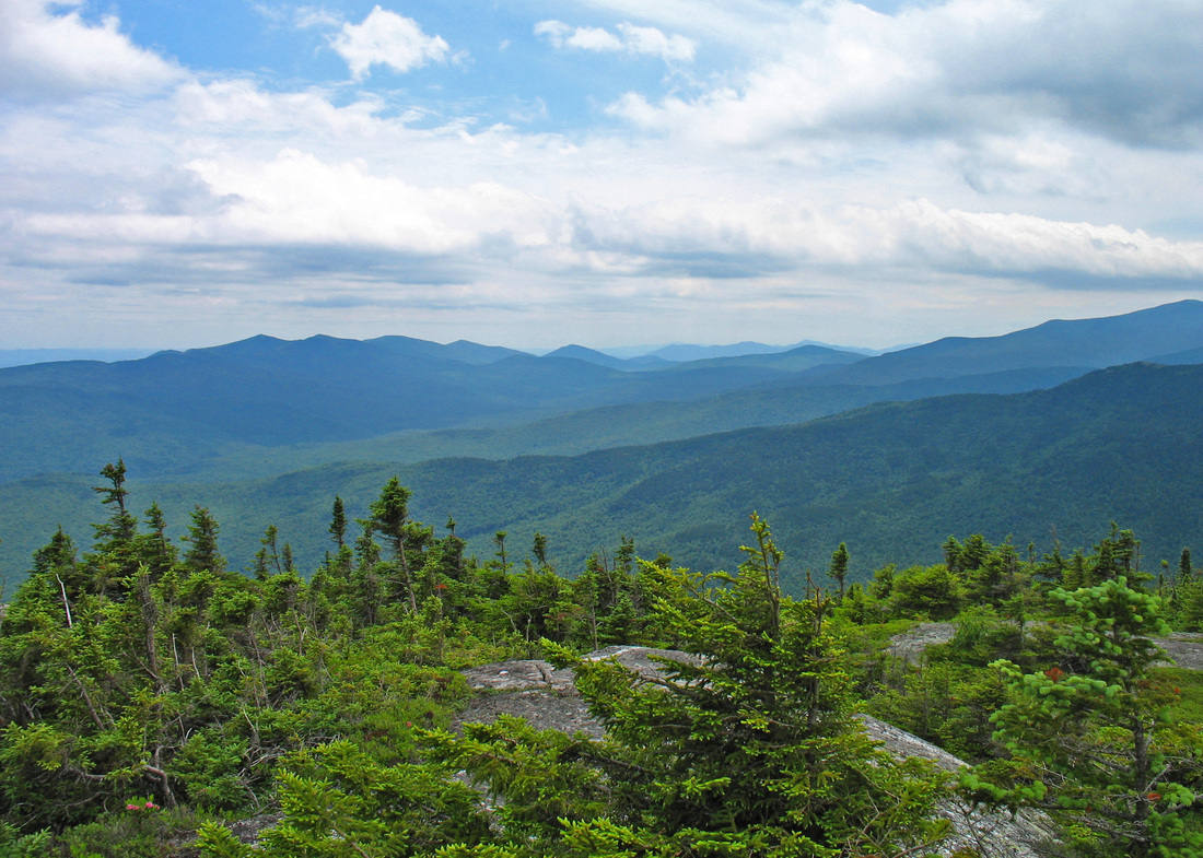
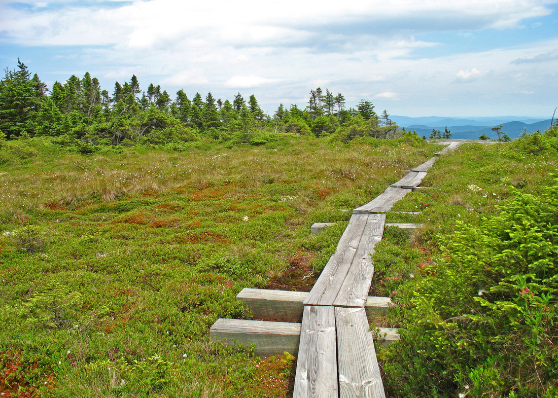
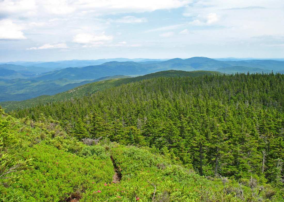
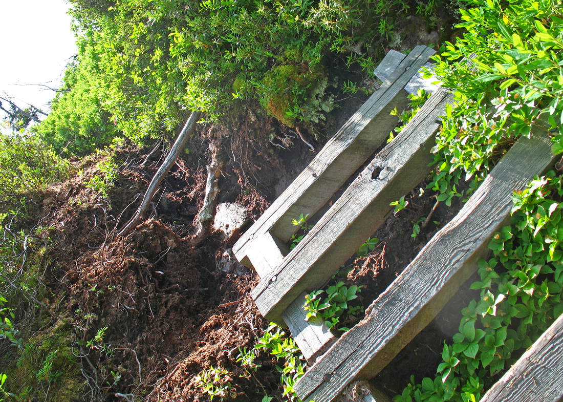
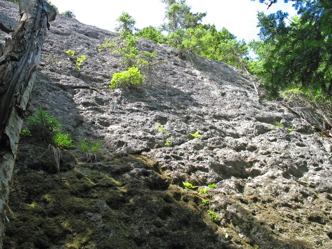
Forty-five minutes after leaving Moriah I arrived at a trail junction. Here the AT bent leftward downhill and took the bog bridges with it. My path lay straight ahead. I was immediately confronted by a long and hungry mud hole that seemed to warn hikers, “Here is no well-manicured walk in the park. Here, in fact, be dragons.” Tiny spruce branches had been scattered onto the mud by what few hikers had passed before and these offered enough of a platform to get along without becoming mired. This bit of trail had a few recent boot prints, maybe from the previous day, but it is clear that many more moose than humans pass this way. The trail rose up and over a few low and wooded knobs and then began to offer up some views on more open bumps and from boggy meadows. This section from the AT to the top of Shelburne Moriah was a marvelous stretch of trail. It is very Mahoosuc-y with its muddy low sections and its wooden walkways through picturesque heaths, sedges and mosses and its rocky, open domes. As I stepped onto one of the domes a Raven surfed the wind just above the ground before sailing off over the valley. Here the trail was marked with low cairns and occasional, very old and very long yellow blazes on the rock. In some parts the trail was unmarked and overgrown. Only a glimpse of the treadway underfoot showed where the trail went. I reached the summit and followed a spur path a short distance for a view over the Wild River Valley, then returned to the summit cairn to eat lunch. My climbing was done for the day but I still had a lot of elevation to lose. I set out and after crossing a bit more open, rolling terrain the trail nosedived off the summit. The descent was very steep and the footing was very rough. I had been averaging 3.2 kph (2 mph) all day to the summit of Shelburne-Moriah but my pace was slowed significantly now. I picked my way down carefully. I passed a bad blowout with a ladder just below it and then the steep descent continued. Finally the grade eased and I popped over two more low but open knobs and passed a high, steep ledge before reaching the Shelburne Trail.

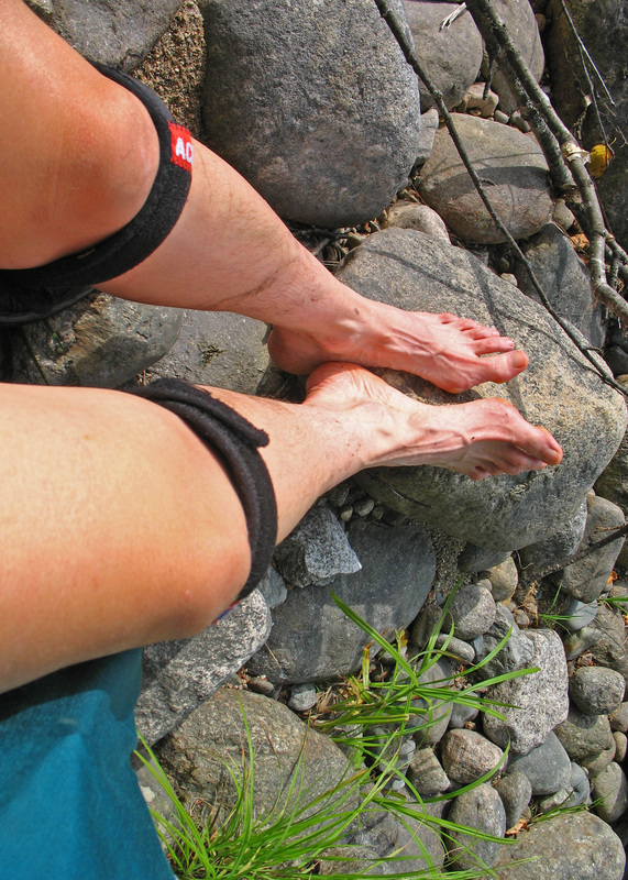
Wet shoes
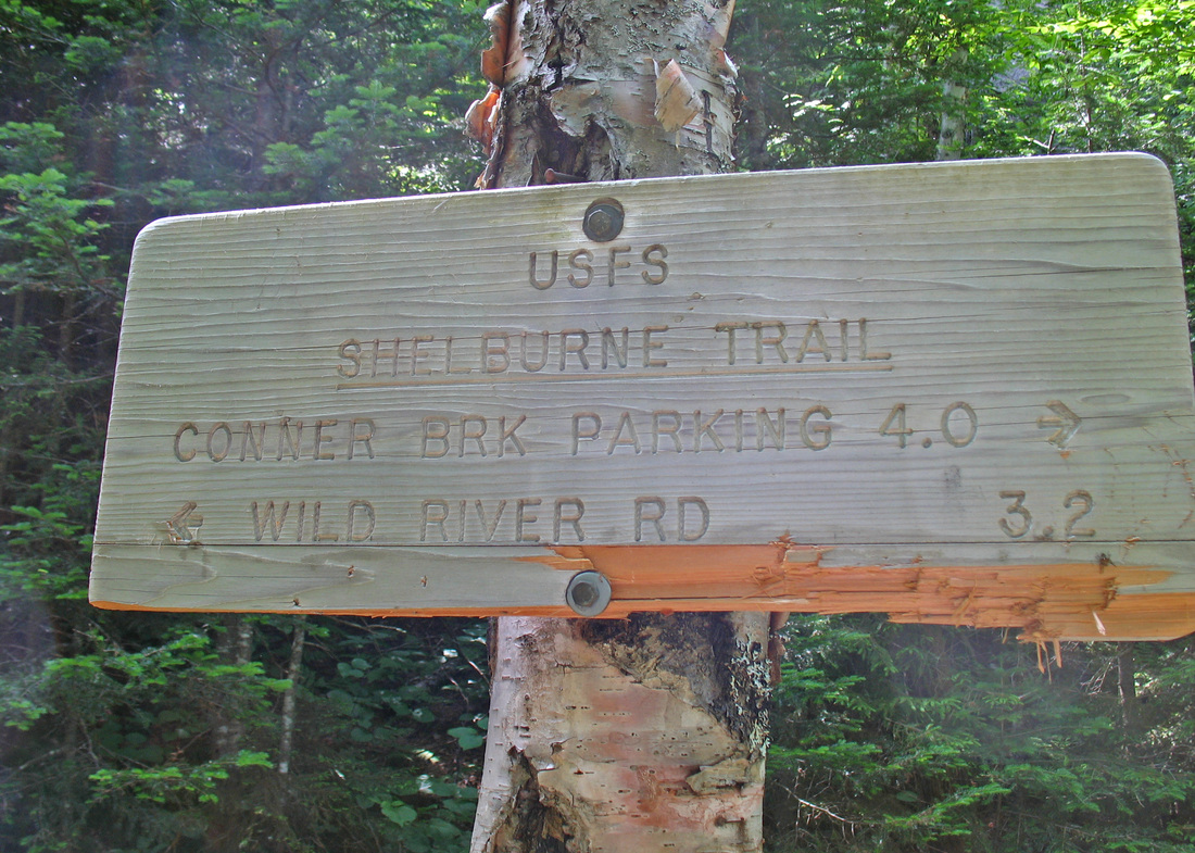
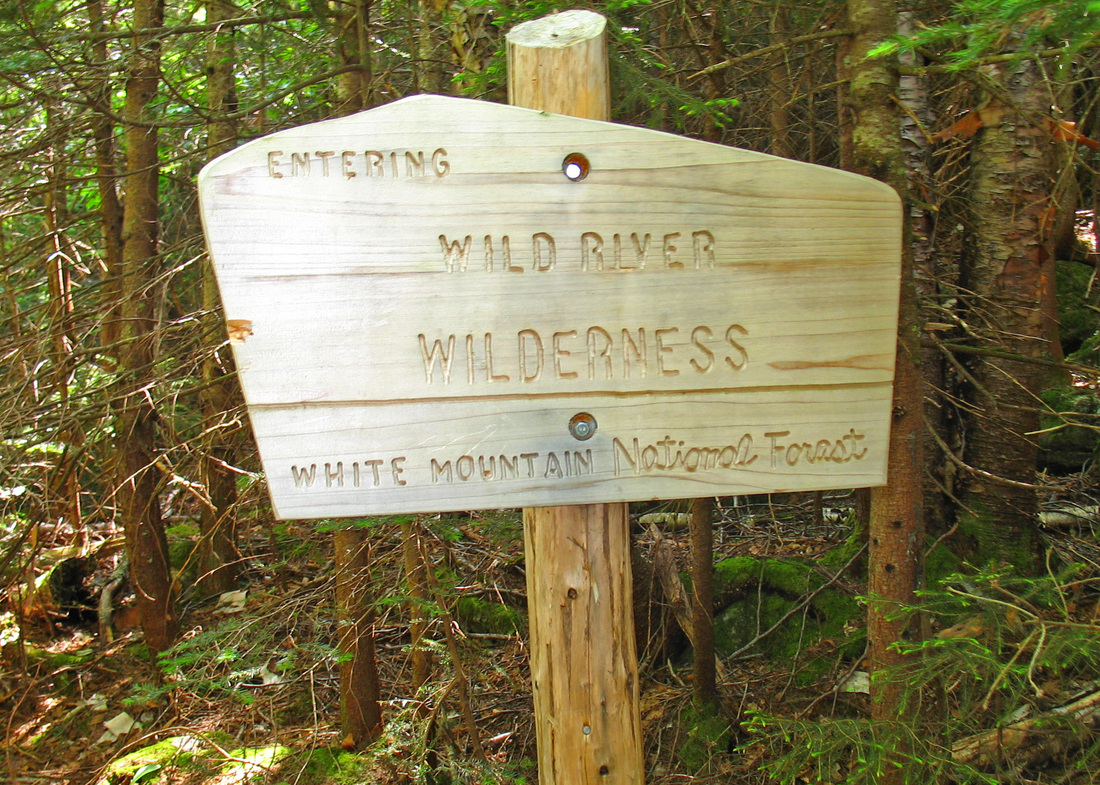
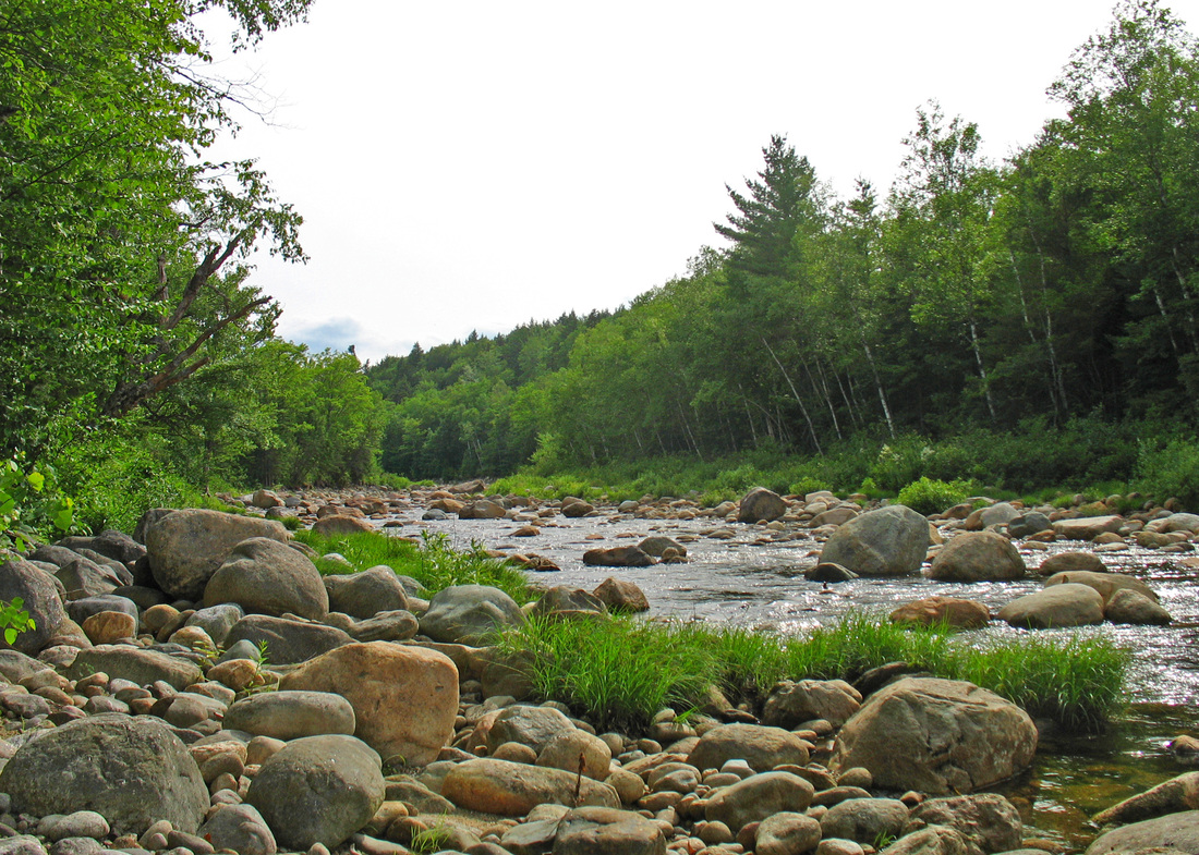
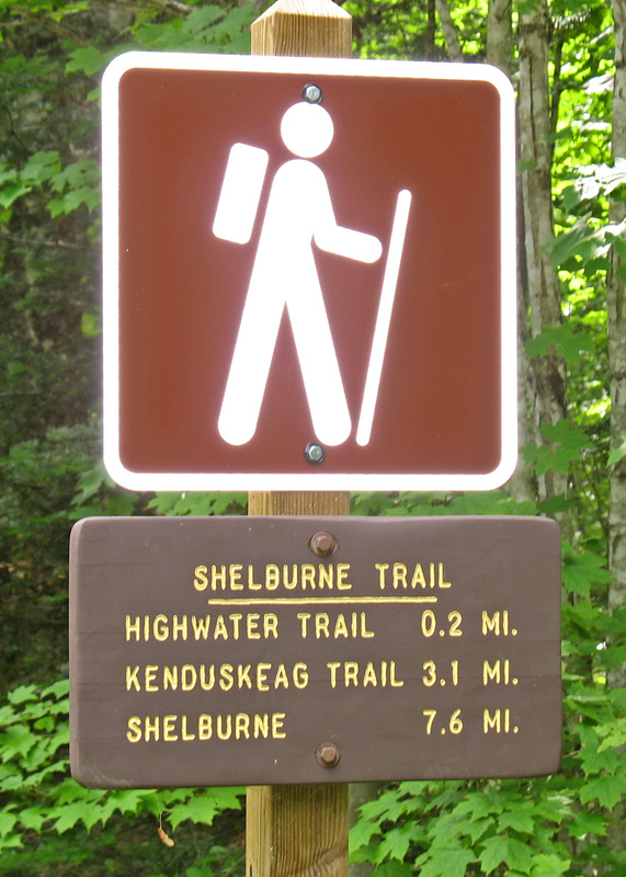
I took another short break at this junction. A sign told me that it would be 3.2 miles (that’s 5.2 km in big-girl units) down to the road. I hoped for an easy descent but I would not get it right away. The Shelburne Trail is thickly overgrown in the upper portion. The treadway was hidden and I rolled my ankle on rocks I could not see. The descent continued to be steep with occasional blowdowns and some difficult trail-finding. My slow pace continued. After 1.5-2 km the woods opened up a bit and the grade eased somewhat. The trail continued to ease and open up for the rest of the way. I passed a sign telling me I was leaving the Wild River Wilderness. The last chunk of trail was on a wide, grassy logging road. Delightful! I passed the Highwater Trail again and soon found myself at the Wild River. I crossed a dry, rocky channel before coming to a small channel with water. I pulled off my shoes and removed my socks, then put my shoes back on. I waded this channel which was only ankle deep. Then I walked through the sandy woods to the main river and waded across. This ford was not quite knee deep over slimy rocks but the water was cool and refreshing for my tired feet. I sat on the far bank and enjoyed the river views while my feet dried. I put my socks and shoes back on and walked the last bit to the road. From here it was a 15-20 minute walk back to my car along a dirt road. I had seen a small bear cross the road here this morning but there was no bear now.
In all the hike was 25 km with 1130 meters of elevation gain and a time of 9:09 including breaks.
In all the hike was 25 km with 1130 meters of elevation gain and a time of 9:09 including breaks.