07 August 2004 Mt .Crawford and Giant Stairs, New Hampshire
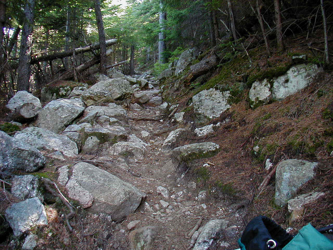
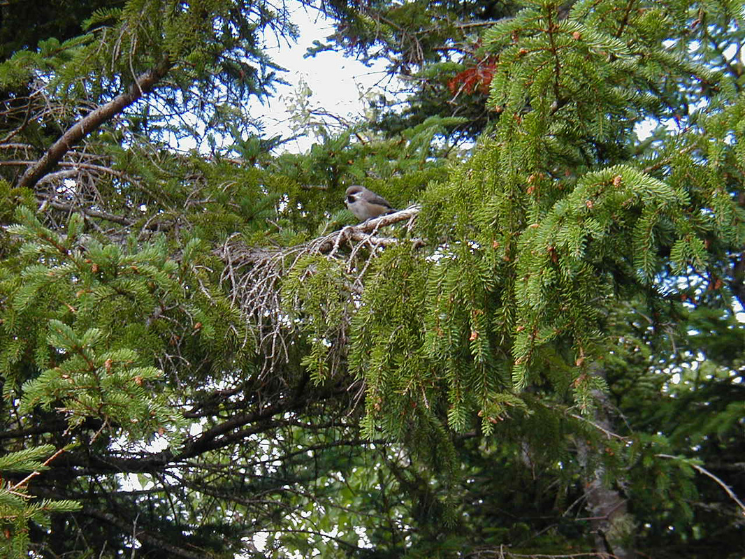
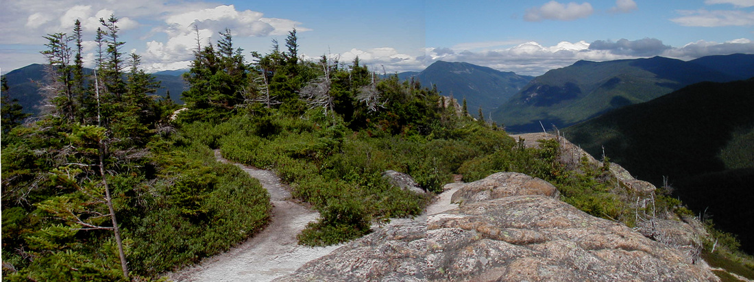
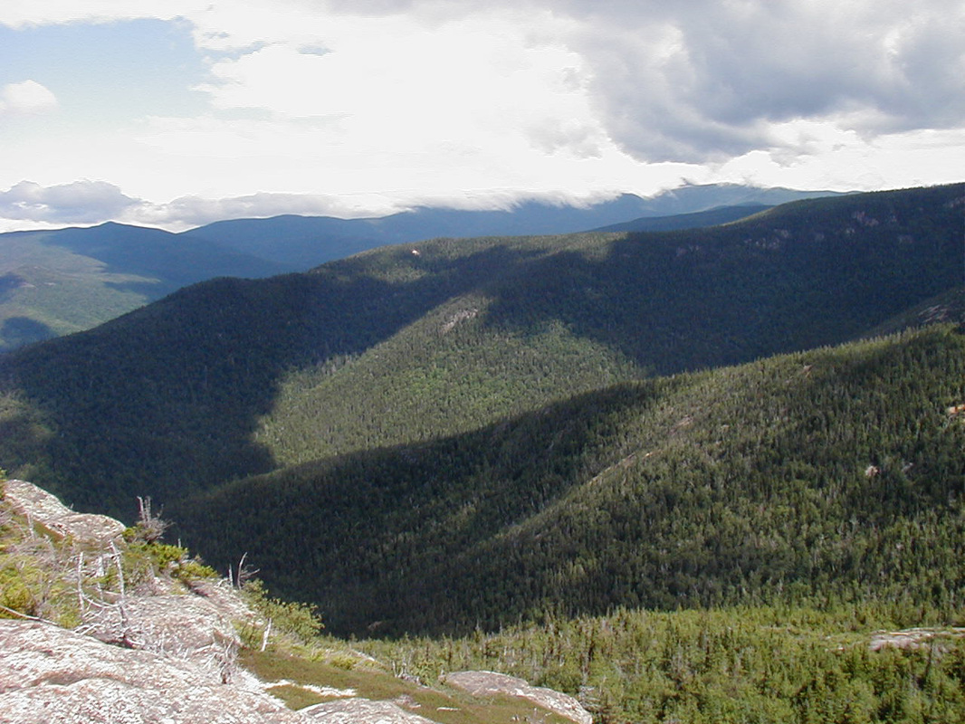
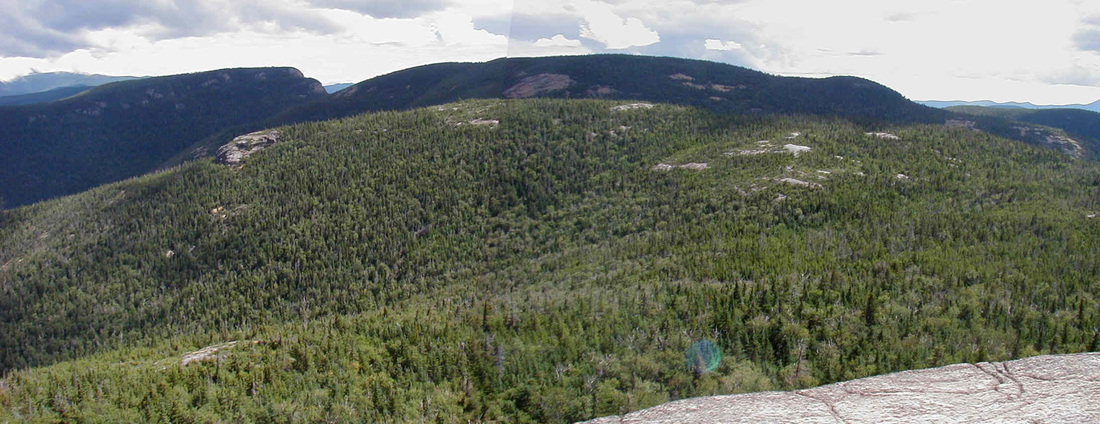
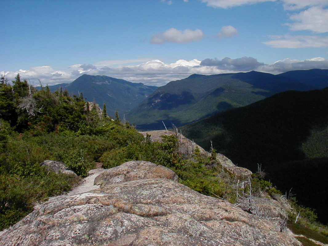
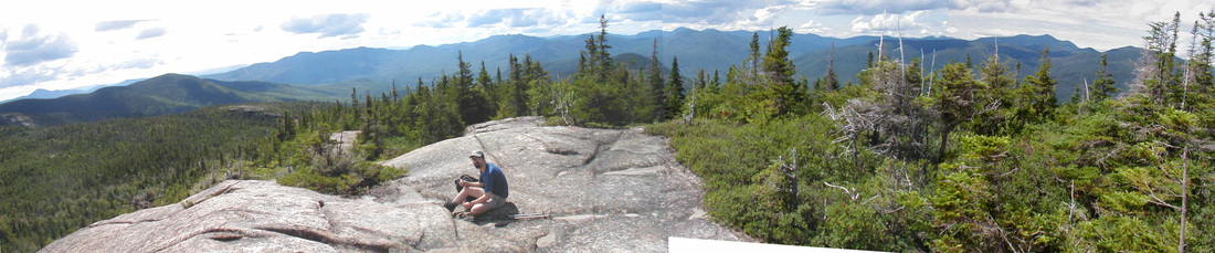
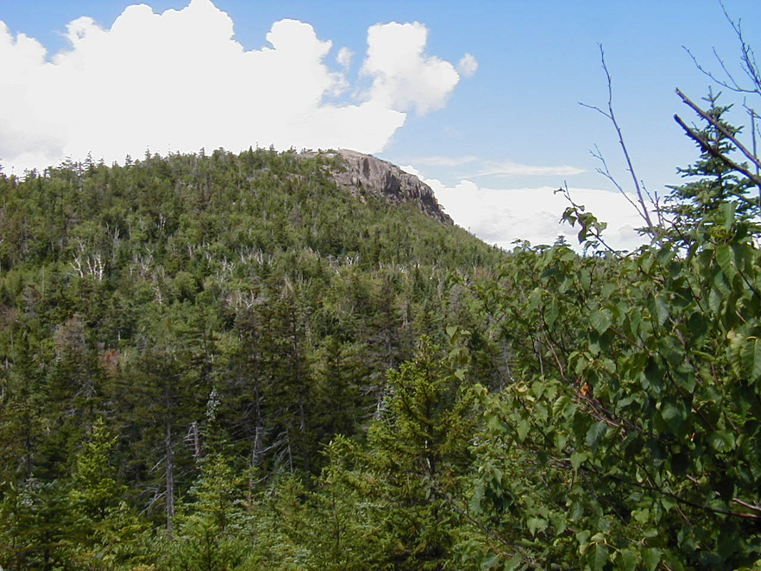
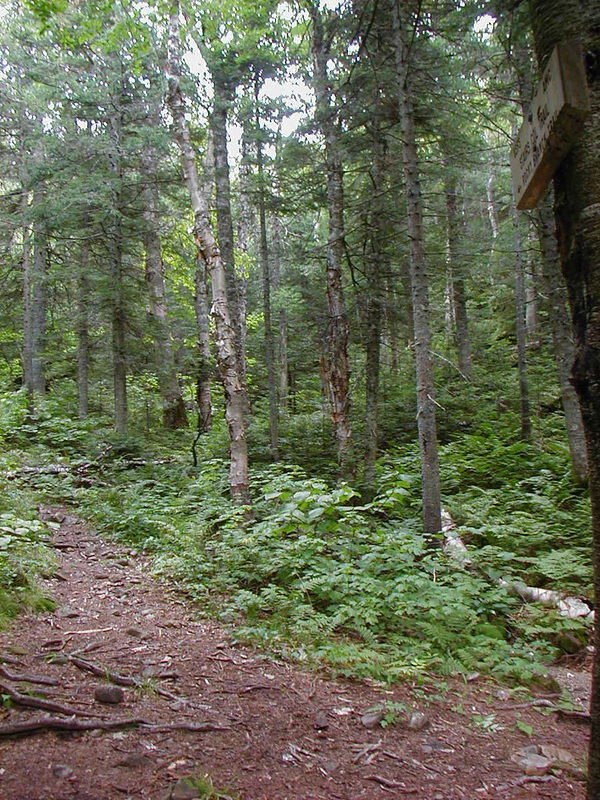
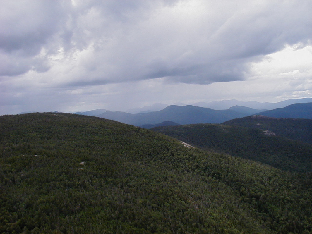
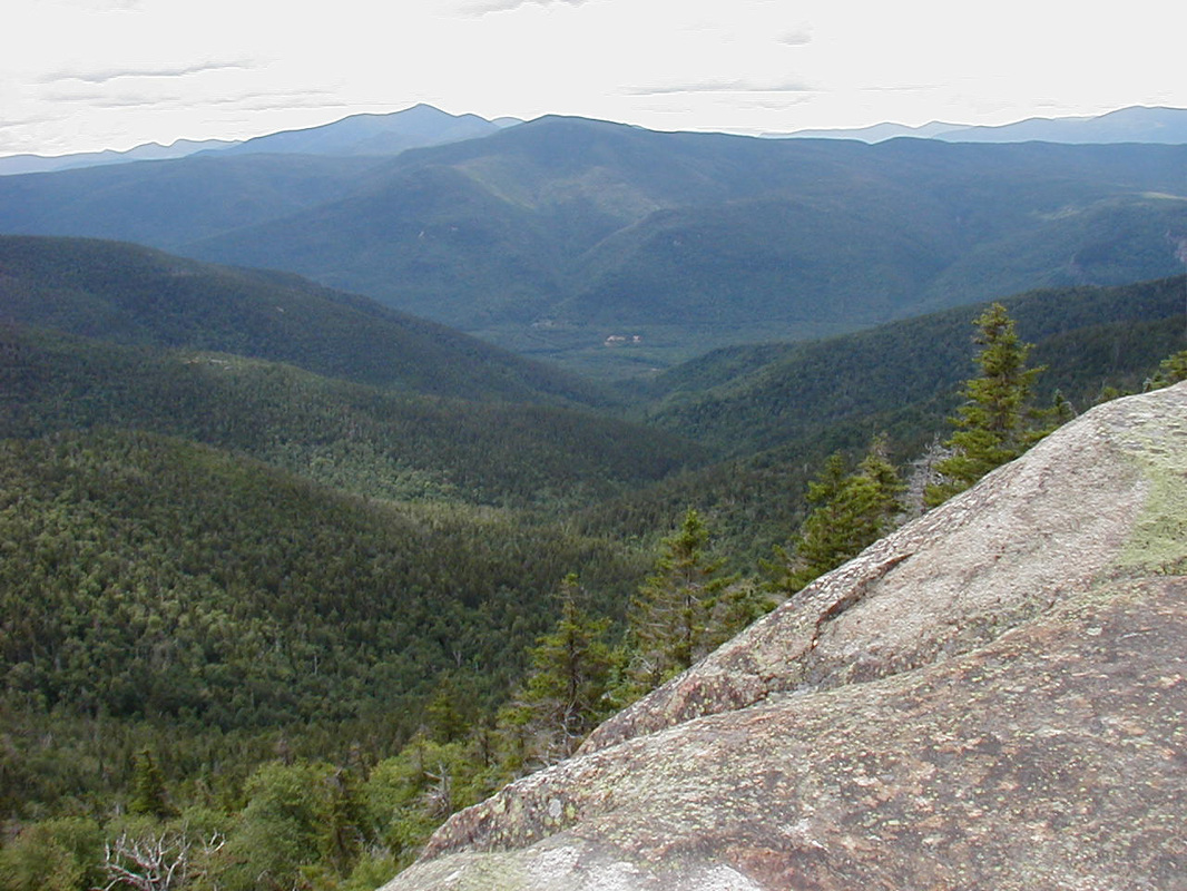
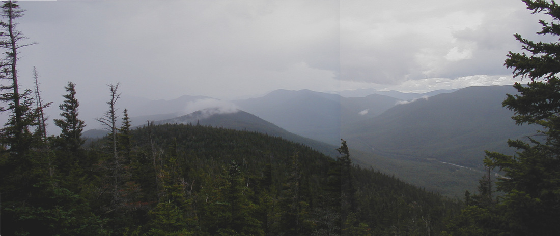
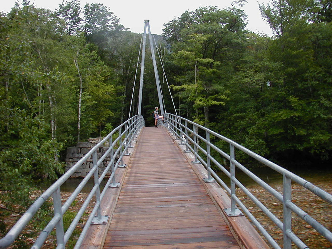
Giant StairsSat, 7 Aug 2004: We had been hoping to climb Mt. Washington on this day but the forecast was for the summits to be in the clouds with showers and possible thundershowers. Instead, we chose something a little lower and much less exposed. I'd seen the Giant Stairs from the trail up Mt. Nancy and thought they'd make for an interesting trip. We drove over to Crawford Notch, found the trailhead for the Davis Path, got our boots on and got underway. It was still sunny but some clouds were definitely working their way in. It was also pretty chilly so we were moving fast over the easy terrain in the first half mile or so. Just as we got warm the trail began to rise. The path continued to rise for about a mile before we came out onto the first ledges. We briefly noted the view and headed upward. On the way to the Giant Stairs we would pass a spur to Mt. Crawford, a low mountain with a 360-degree view. On the way up we found many blueberry bushes along the ledges which slowed our hiking pace dramatically. We soon came to the spur to Mt. Crawford and worked our way up the .3 mile climb. The view was indeed rewarding, and we were glad we did not climb Washington as the entire Presidential Range was socked in. Looking to the northeast we were able to see the Stairs and the broad summit of Mt. Resolution whose ledgy side we would hike along. To the southeast we could see Mt. Parker (left of center) and Mt. Hope (behind trees, far right) in the foreground, and in the background were the mountains off the Kancamagus Highway. The southwesterly view was dominated by Mt. Anderson and Duck Pond Mtn (right of center), Mts. Nancy and Bemis (far right) in the fore, with Mt. Carrigain rising behind and between them. To the northwest was a look into Crawford Notch. The clouds were continuing to build and we wanted to make it to the stairs and back before the storm broke out so we headed off back down the spur path. On the way we were greeted...scolded actually...by some Boreal Chickadees. These little birds look and sound like Black Capped Chickadees with a northern accent. They only occur at high elevation and seem to be bolder than their more common cousins. I turned around at one point not long after rejoining the Davis Path and got a good look at the steep northern face of Mt. Crawford. We made our way along the ledges of Mt. Resolution that we had seen from the summit, passed the spur path to the Resolution Shelter, and eventually entered Stairs Col, a beautiful, wild notch at the base of the Giant Stairs. While the 1.5 miles from the Crawford spur had been nearly flat, the next 0.6 promised to be otherwise as we climbed to the top of the Stairs at an elevation of 3463 ft. We were looking forward to a break and some lunch. The guide book promised inspiring views to the west and south. Mostly, the southerly view inspired me to put my pack back on and run down the mountain. This is basically what we did, making the 1.5 miles between Stairs Col and Mt Crawford in 25 minutes. It sprinkled a bit but the real showers held off until we had made the last ledge. The view south from here was not as bright and sunny as it had been only a couple hours earlier but we were happy to have gotten past all the exposed ledges before the rain slickened them. We worked our way back down to the valley in a pleasant, cool rain and crossed the Saco River on Bemis Bridge to return to the parking lot.