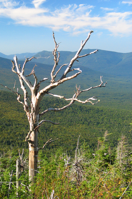
04 September 2009 Mt. Clay, New Hampshire
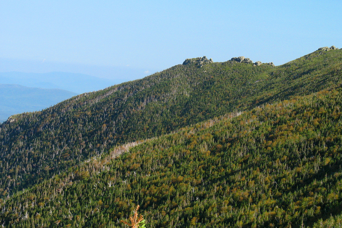
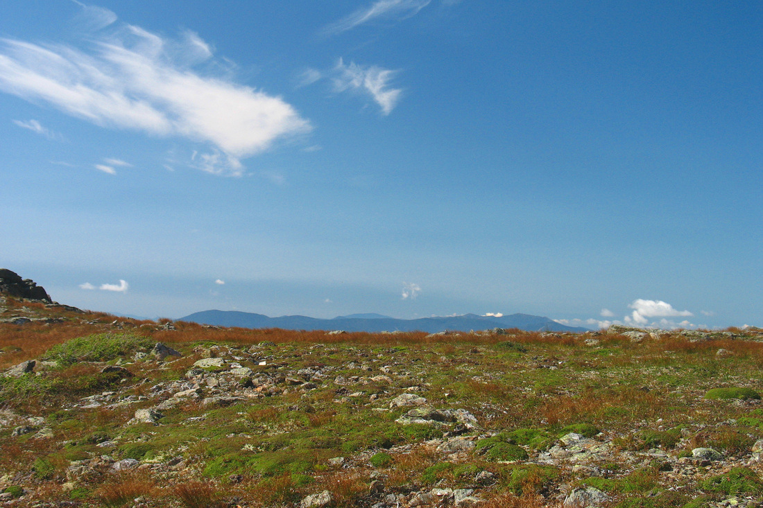
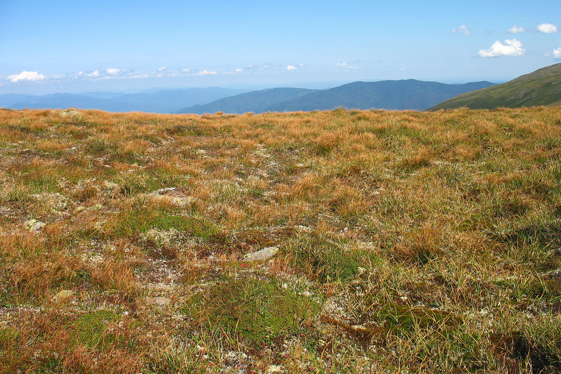
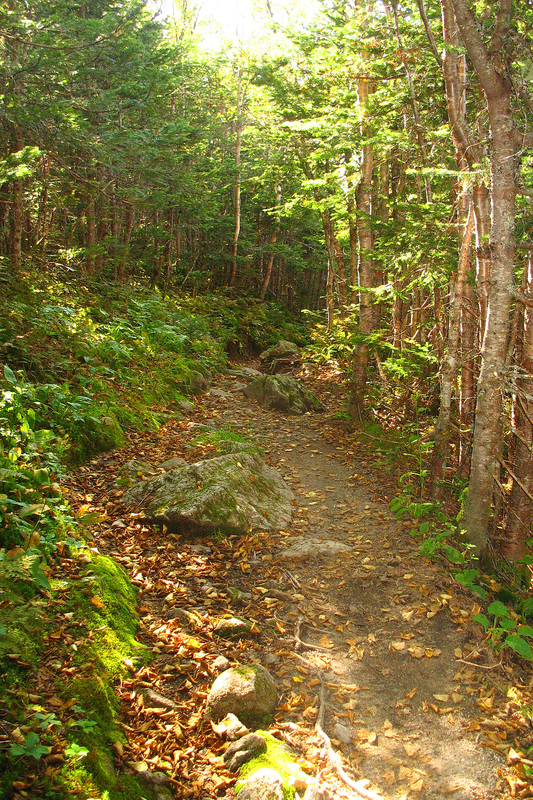
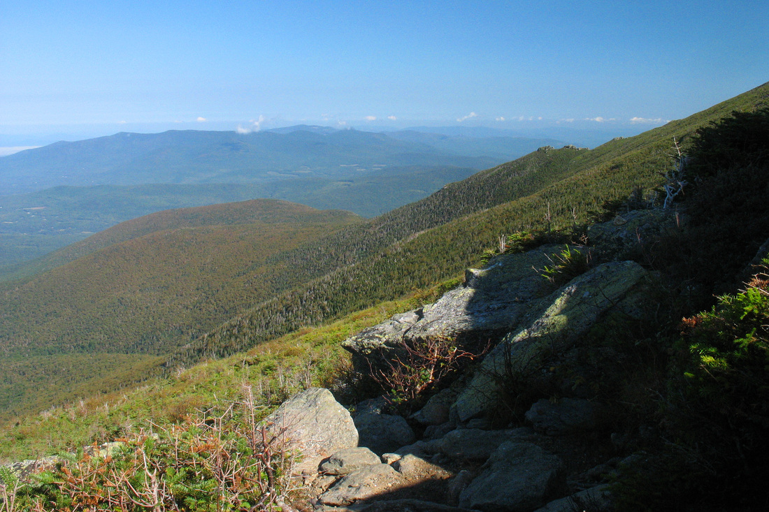
View from the pothole at the one-mile mark
With a new school year about to start opportunities to get out in the woods were going to be limited. That reality combined with a favorable forecast prompted me to head over to Jefferson Notch. The Caps Ridge Trail is among my very favorites and this seemed just the day to get above treeline early and stay late. I started up the trail and before long came to the pothole and paused to enjoy the first view of the trip. I ducked back into the stunted woods and breathed in the end of summer. The balsam fir gave off its Christmassy fragrance which blended with the spicy sweet scent of leaves returning to the soil. It’s a fleeting aroma and always evokes excitement at the changing seasons.
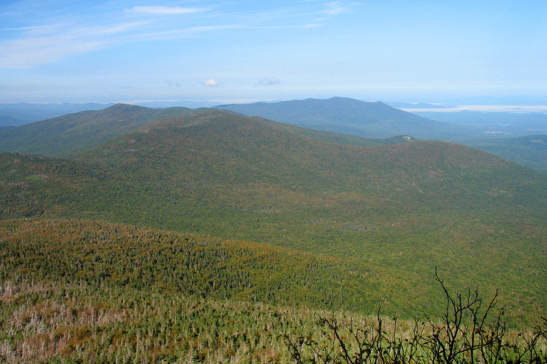
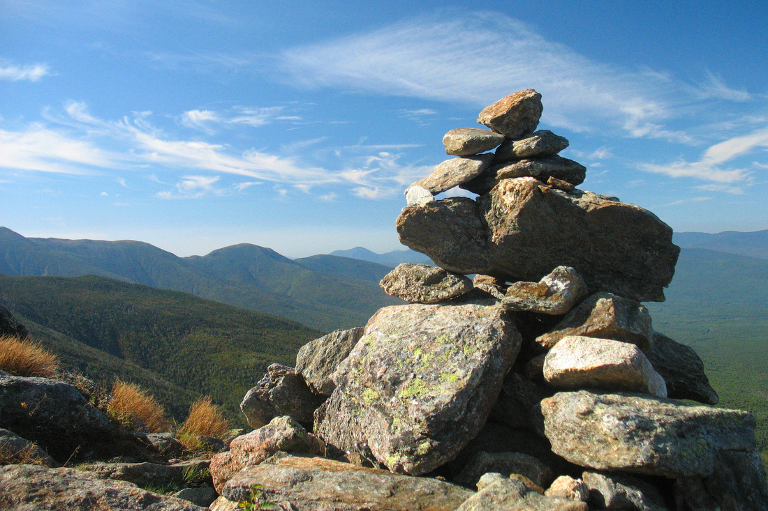
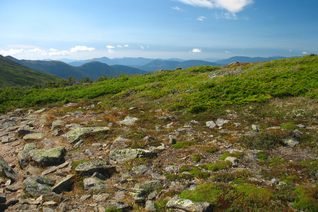
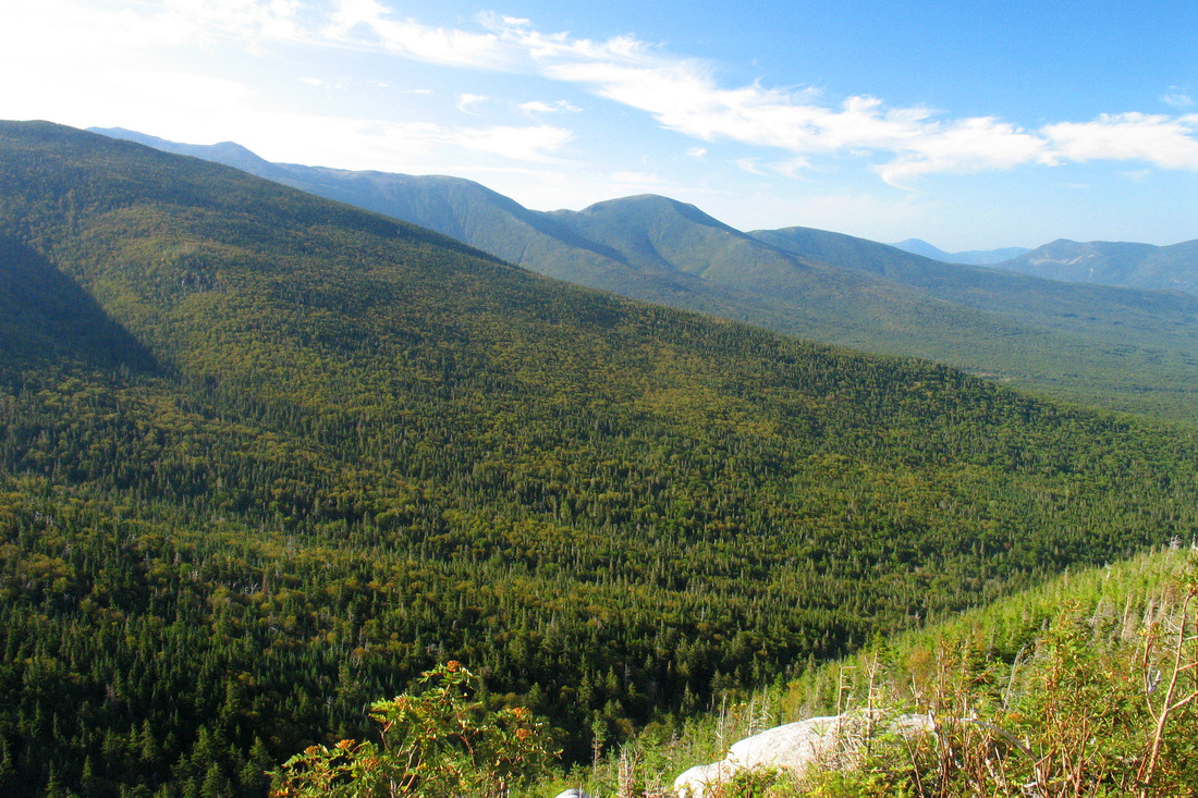
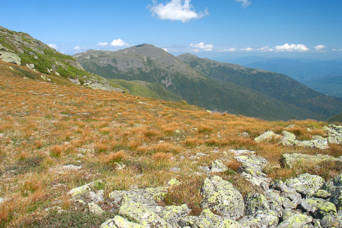
North from the Caps
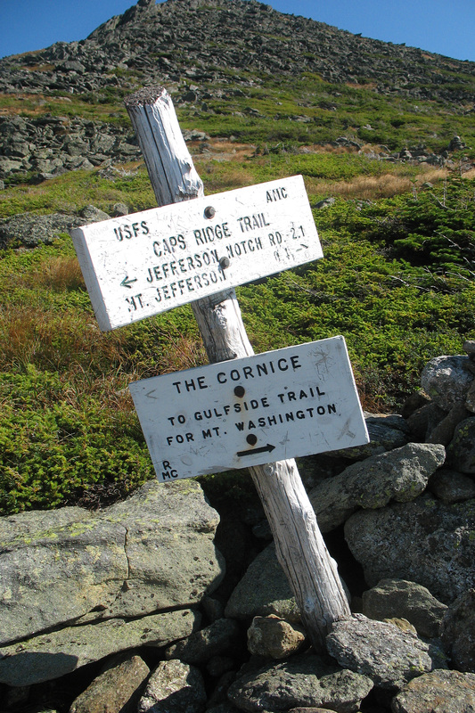
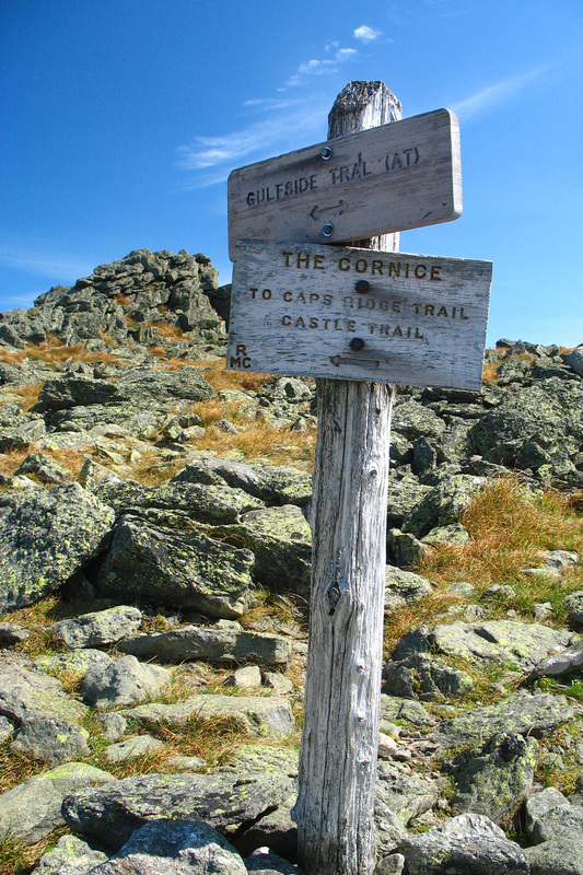
As I scrambled over one cap after another the views became more constant and ever changing as my elevation and immediate surroundings interacted with the landscape. To my left rose the Castellated Ridge which stood out dramatically against the sky. This is another fun section of trail but has a much longer approach than the Caps Ridge. In time I reached the Cornice Trail and decided to angle south to the ridge rather than summit Jefferson. After picking my way over wobbly rocks for some distance I gained the Gulfside Trail and stopped to admire Jefferson and the Monticello Lawn before turning southward.
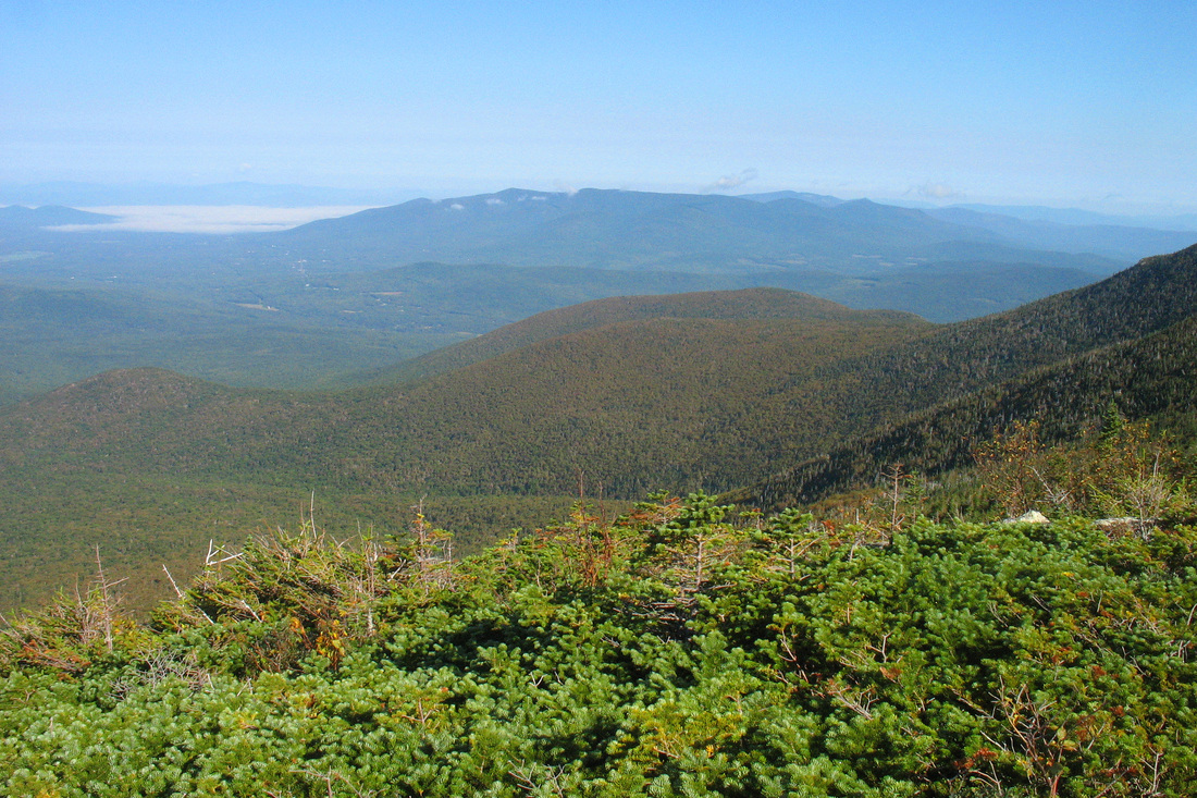
Northern Presidentials
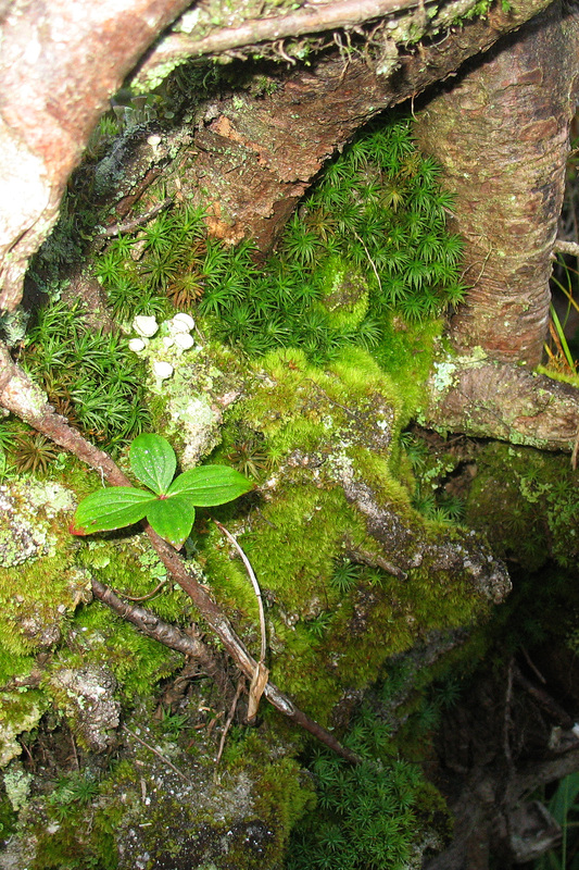
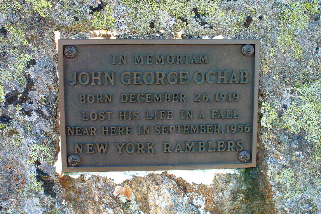
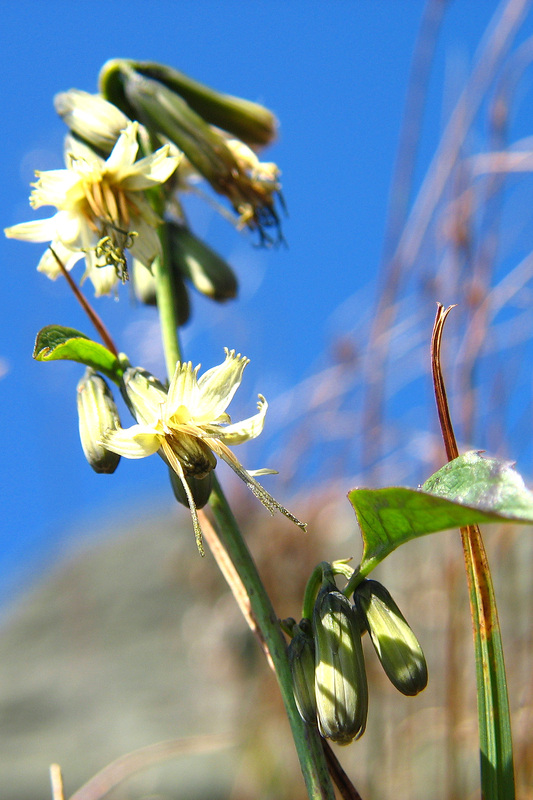
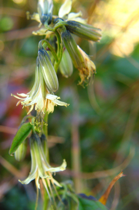
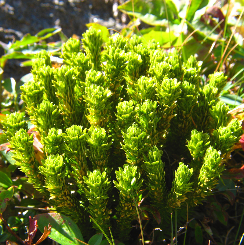
I ambled south along the Gulfside Trail to Sphinx Col where I stepped off the trail a bit to rest and eat some lunch. I spent quite a bit of time here lazing in the sun as the local landforms blocked the breeze. When I arrived at the junction with the Clay Loop I opted to stay on the Gulfside as this short stretch of trail up to the Jewell Trail was one I hadn’t walked on before. I followed a rough spur to look at a small spring and then returned to the trail. After meeting familiar ground at the Jewell junction I backtracked slightly to a place where I could quickly head off trail to the Clay Loop in between the two summits of Mt. Clay. From the saddle I took in the view of Mts. Adams and Madison before visiting the south summit. While exploring this knob I noticed a memorial plaque that I’d not seen before. I dipped back down to the saddle, checking out the northwesterly view and several different plants before climbing up to the north summit. In particular I spent some time with Boot’s Rattlesnake Root (Prenanthes boottii) and a sweet Clubmoss. After a rather lengthy visit and shooting some video panoramas I rockhopped back down to the Gulfside and began my descent on the Jewell Trail.
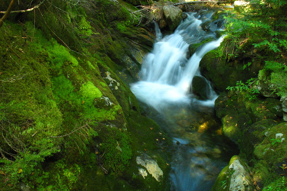
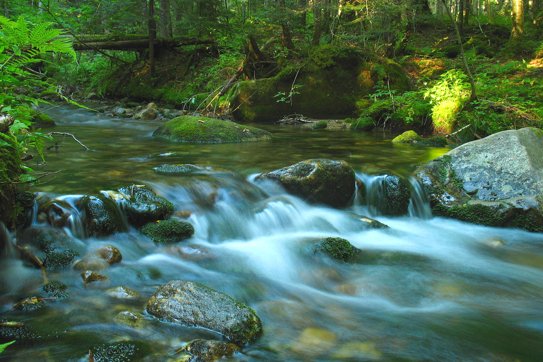
Clay Brook at the base of the mountain
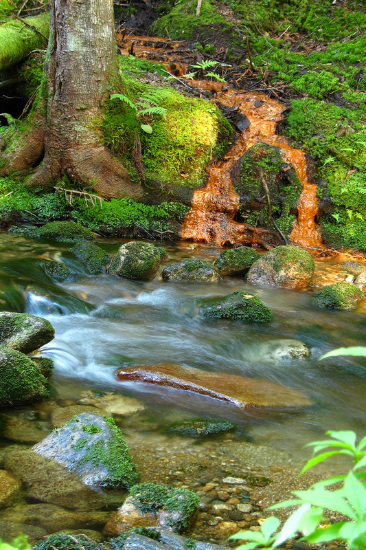
It was slow going on the first part of the descent which was fairly rocky. Once the trail leveled off in the woods along a shoulder of the ridge the walking got much easier and stayed that way even as the descent steepened again. On the way down there were occasional views to the ridge and then, lower, the trail crossed Clay Brook on a small bridge just below a picturesque waterfall. From there it was quick and flat to the Boundary Line Trail. This faint track cut off a substantial corner and took me to the Jeff Notch Road only a couple of km from the notch where I’d parked that morning. Along this path I again crossed Clay Brook where there was an interesting inflow of reddish, muddy water. I was curious as to the source of this water but didn’t take time to investigate. Once on the road it didn’t take long to get back to the notch.