12 October 2009 Mt. Meader, New Hampshire
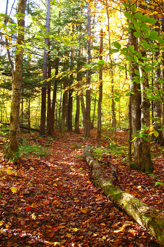
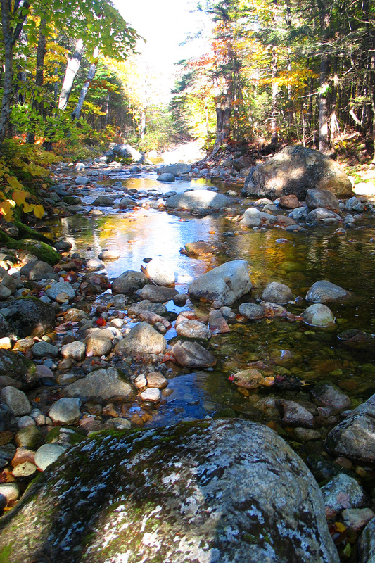
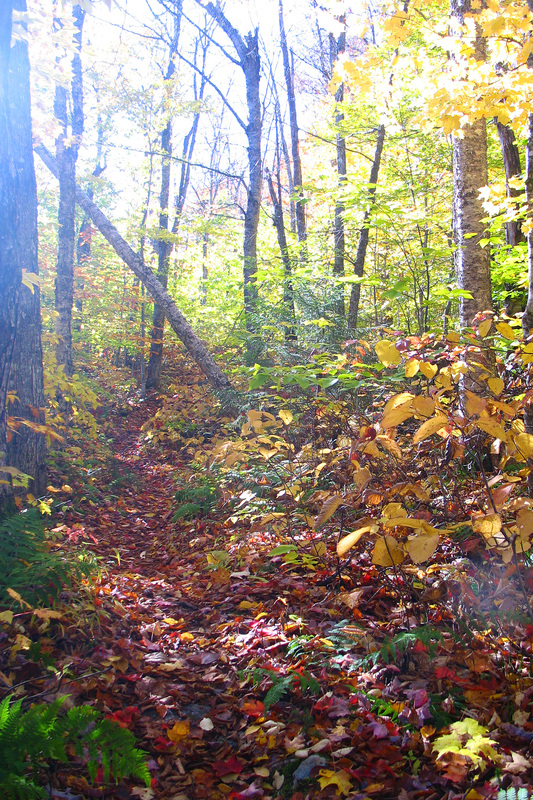
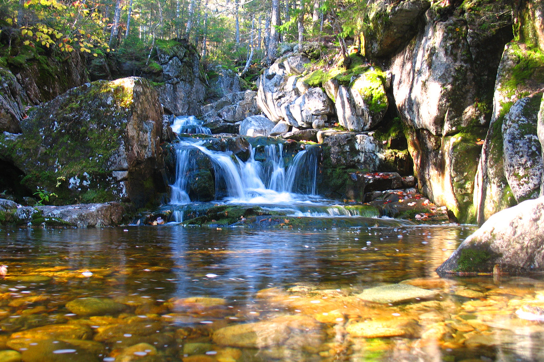
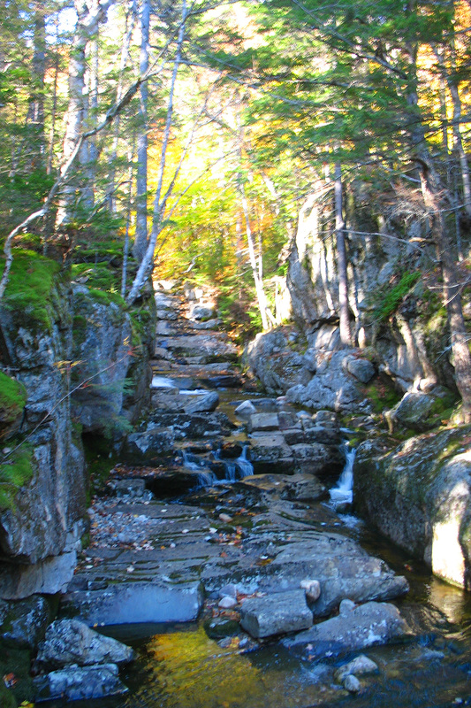
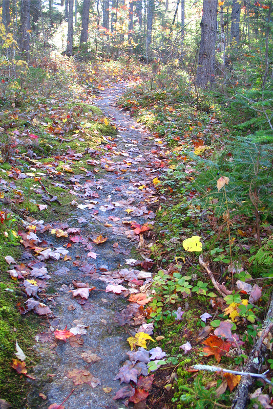
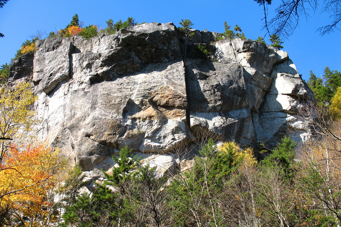
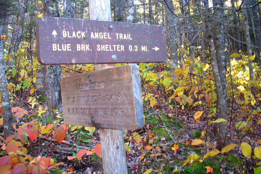
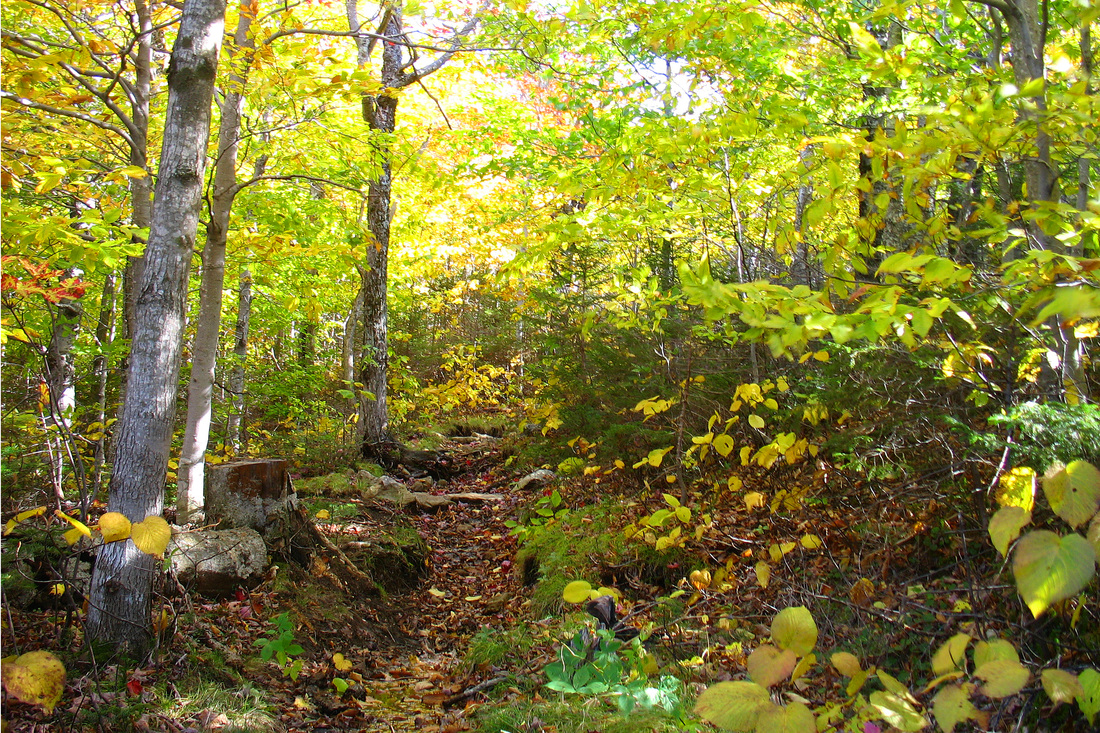
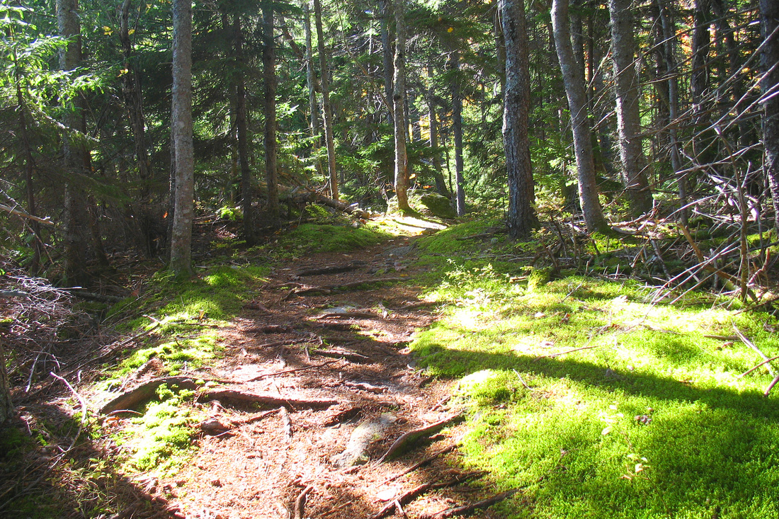
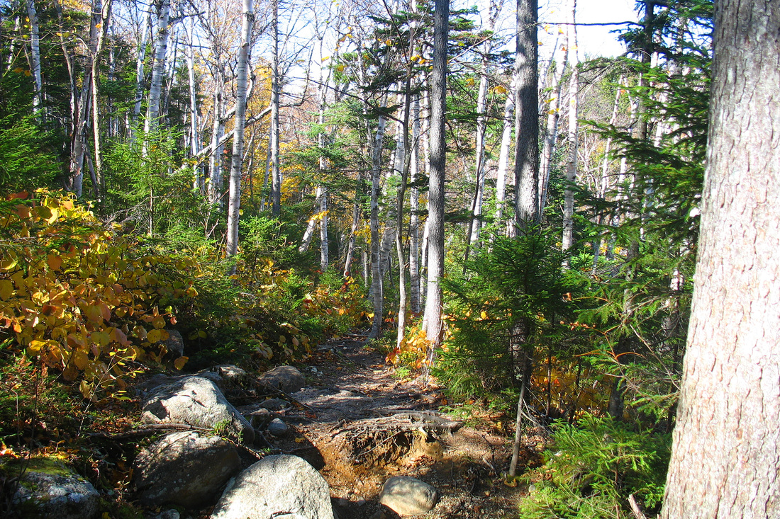
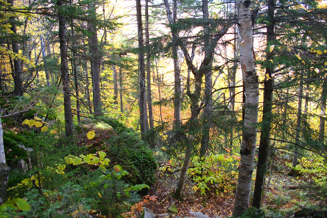
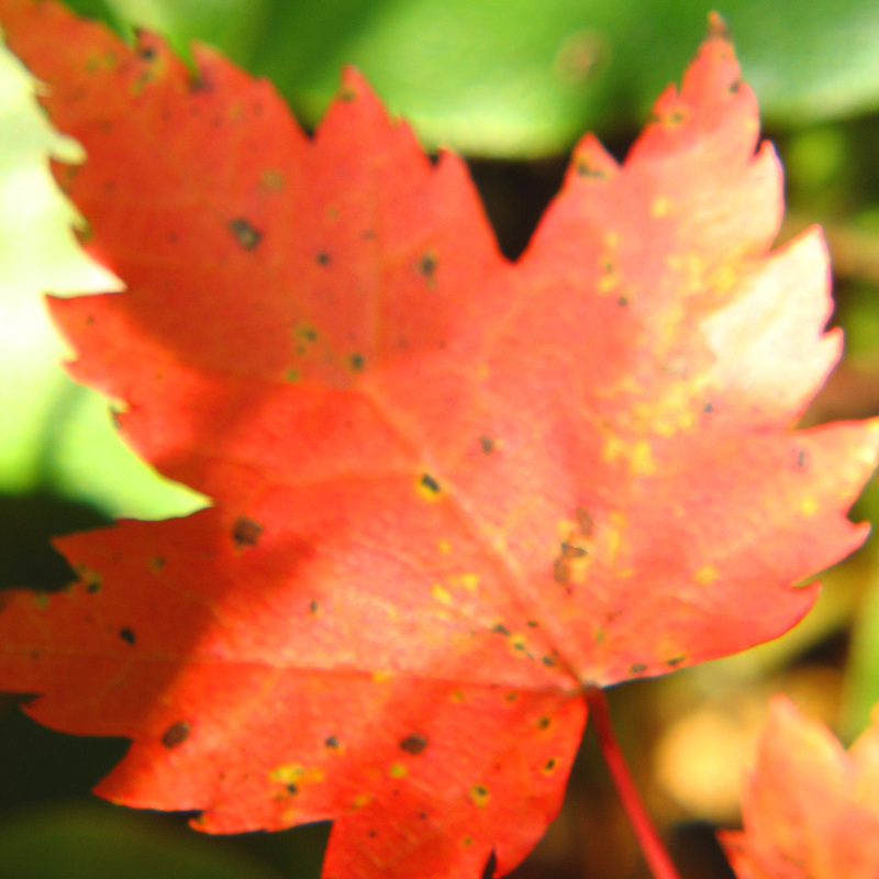
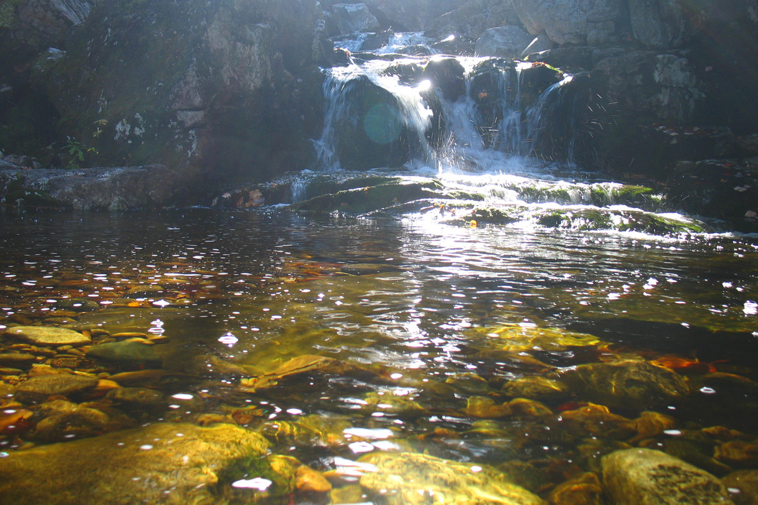
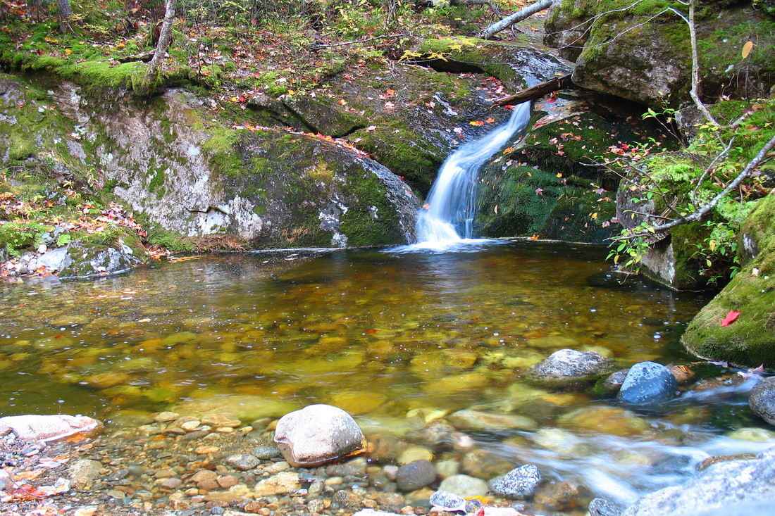
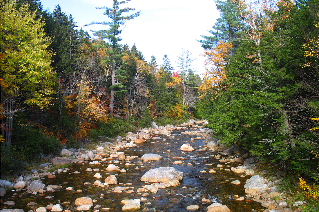
Following Parents’ Weekend I had a whole 2.5-day break and the forecast for Monday, Columbus Day, was great. I’ve been wanting to do a 12-mile loop hike from Wild River Campground for some time. I would head up the Basin Trail to Rim Junction, then head south on the Basin-Rim and Meader Ridge Trails to Eagle Crag. From there I would follow the Eagle Link Trail down to the Wild River Trail and enjoy an easy 4-mile river walk back to the campground, closing the loop. I put my boots on the trail at 9:17 and set out through luminous autumn foliage. The combination of soft morning sun bouncing off golden leaves was spectacular and gave me plenty of excuses to stop and catch my breath. Although this trail wasn’t difficult I’ve been largely prevented from exercising since school began and have already lost a great deal of fitness. I knew early on it would be a slower day than I planned on. The trail rose along the bank of picturesque Blue Brook and eventually crossed a branch of it where two tributaries came together, one over a tiny ledge and the other through an interesting canyon and lovely cascade. I spent some time here admiring the setting before crossing and ascending along side the canyon. Before long I came to a level stretch where the trail was worn through the thin mossy soil down to bedrock. To my right was the brook and looming over it and me was an imposing, craggy cliff. I proceeded and the trail took me away from the brook. I soon came to a junction with a path to the Blue Brook Shelter and knew it wasn’t far to Rim Junction.
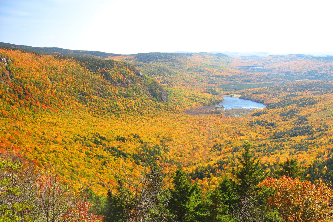
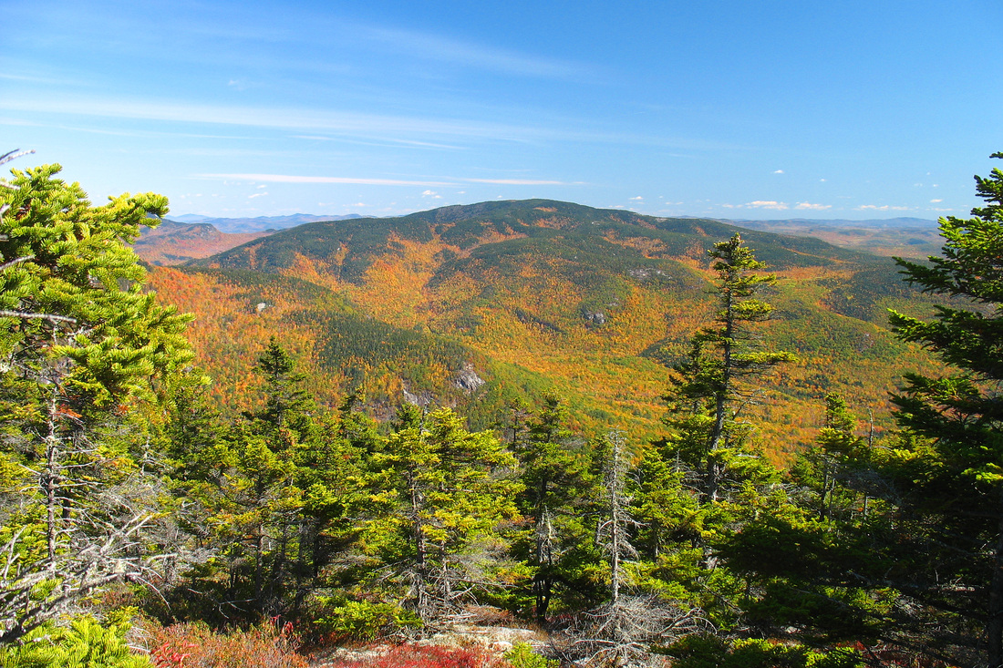
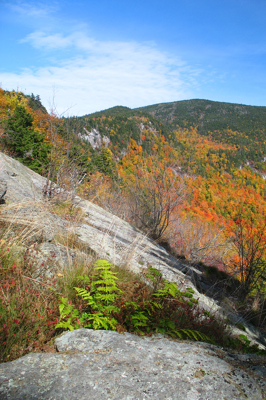
A few more minutes of hiking brought me to the junction and I followed the Basin Trail just a bit past it to an open ledge with a fine view east over Basin Pond. I took off my pack and sat to rest and enjoy some reward for my hiking effort. I ate a snack and took several pictures over the brightly coloured valley. I was beginning to think that my loop might take quite a bit longer than expected and I realized that I had forgotten my headlamp. One reason I was saving the river walk for the return was that I thought it would be an easier finish in the dark in case daylight ran out. With no moon, however, a headlamp would be necessary. I decided to keep going, at least for some while, and just enjoy what I could of this beautiful day even if I could not hike the loop.
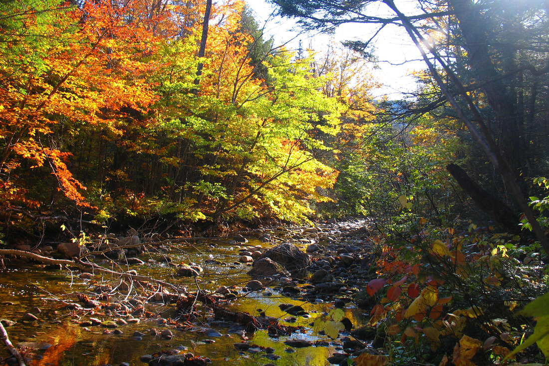
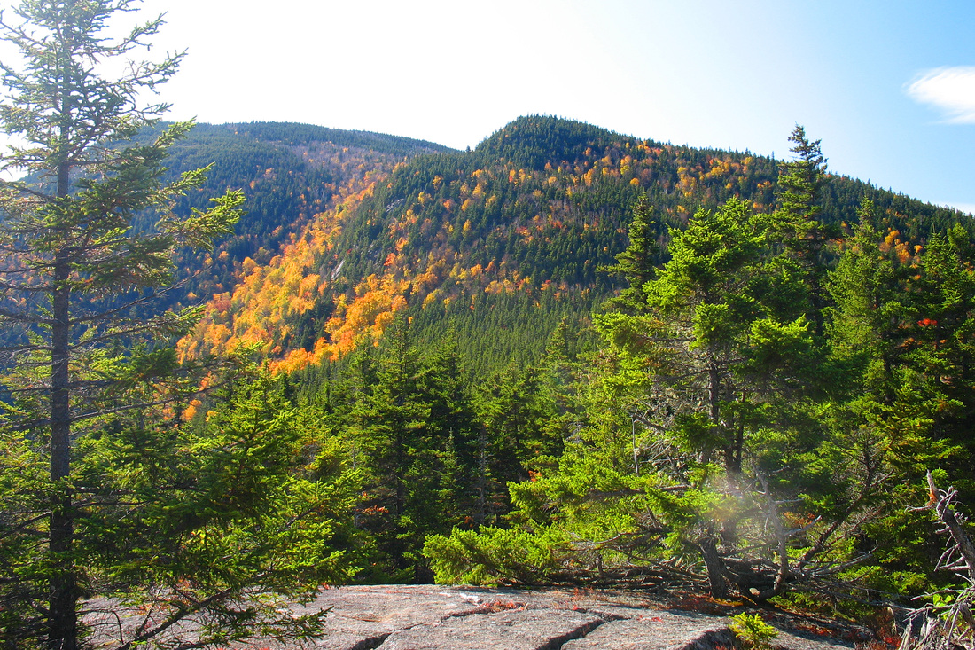
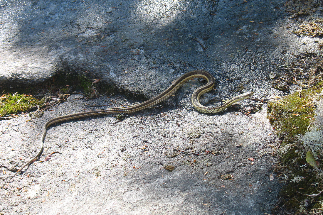
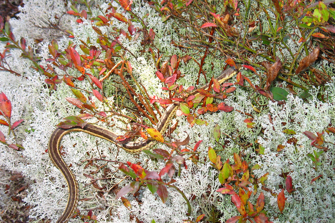
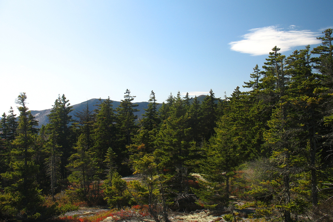
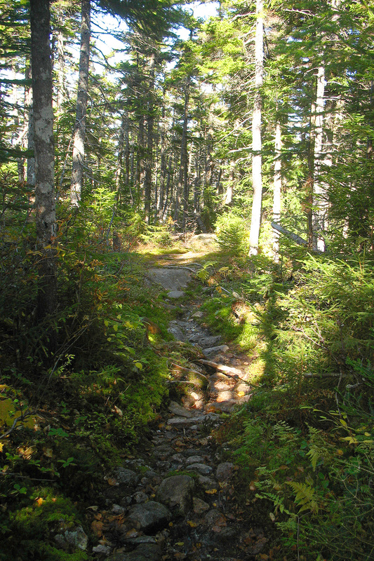
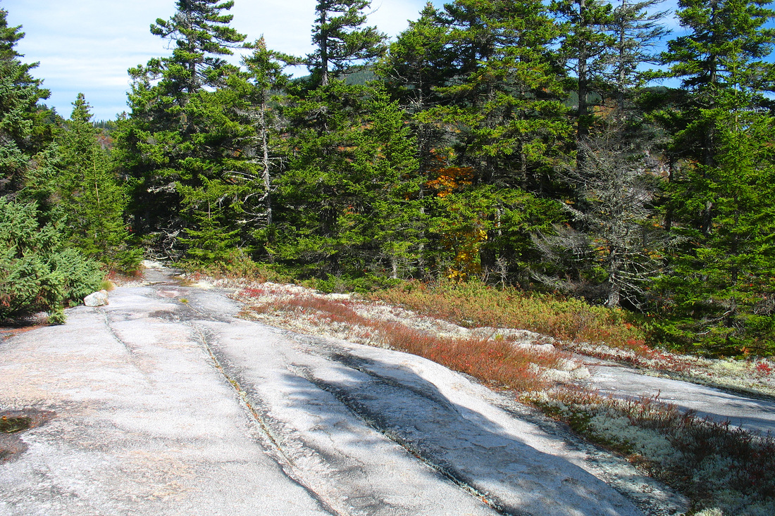
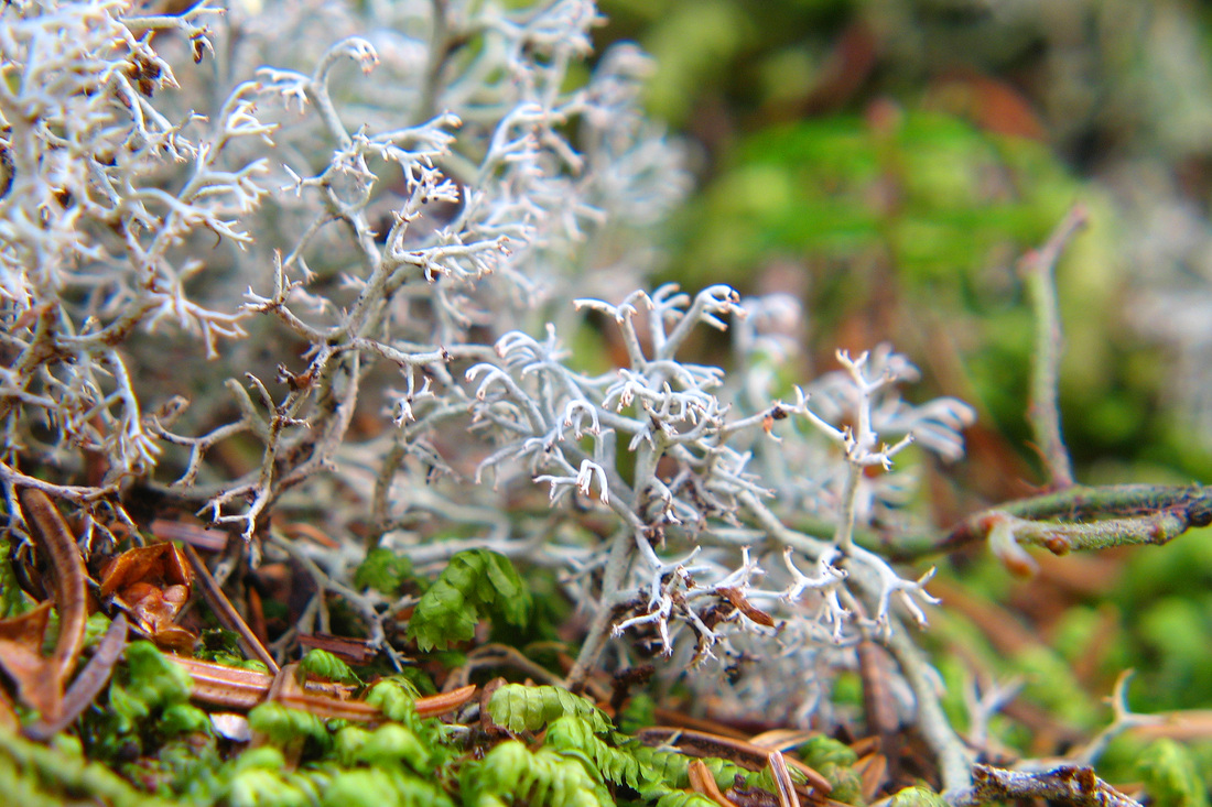
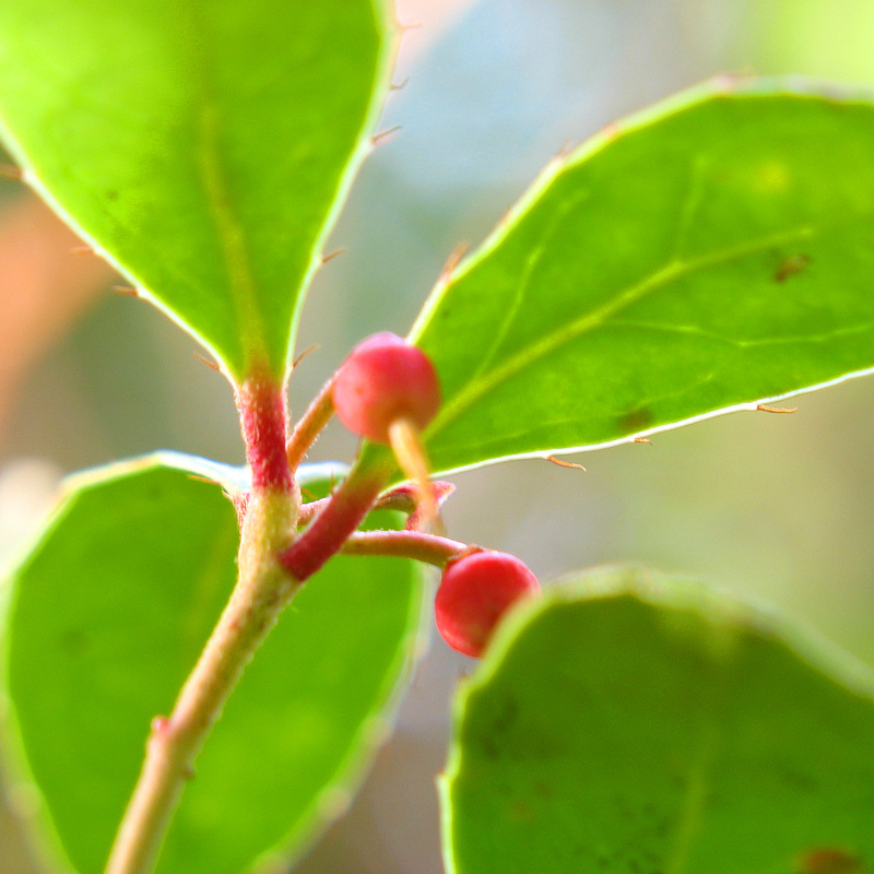
I headed south along the Basin-Rim trail. From Rim Junction I was in new territory and it was a wonderful trail. The woods alternated between confetti-coloured hardwoods and fragrant conifers. The forest floor was a carpet of lush mosses, lichens, spicy-smelling ferns, and bright yellow hobblebush. Occasionally I stepped out onto sunny ledges which sometimes afforded views over the Rim and Basin. On one warm outcrop I interrupted a garter snake’s sun bath. He retreated slowly, not having had time to warm himself thoroughly.
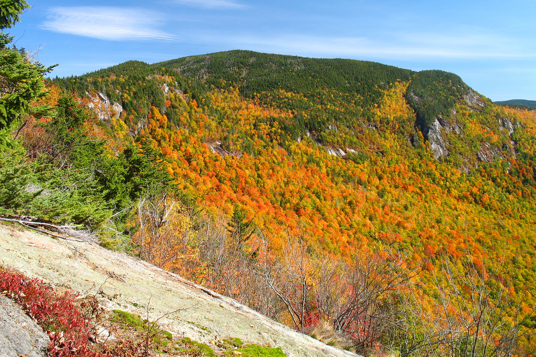
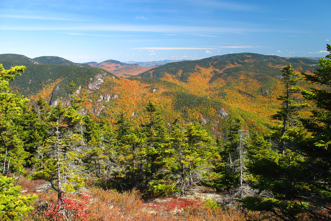
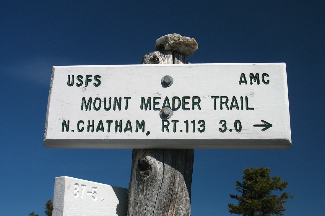
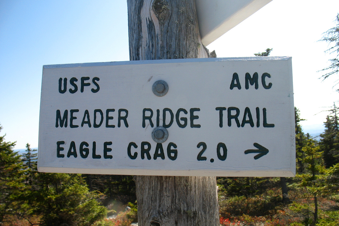
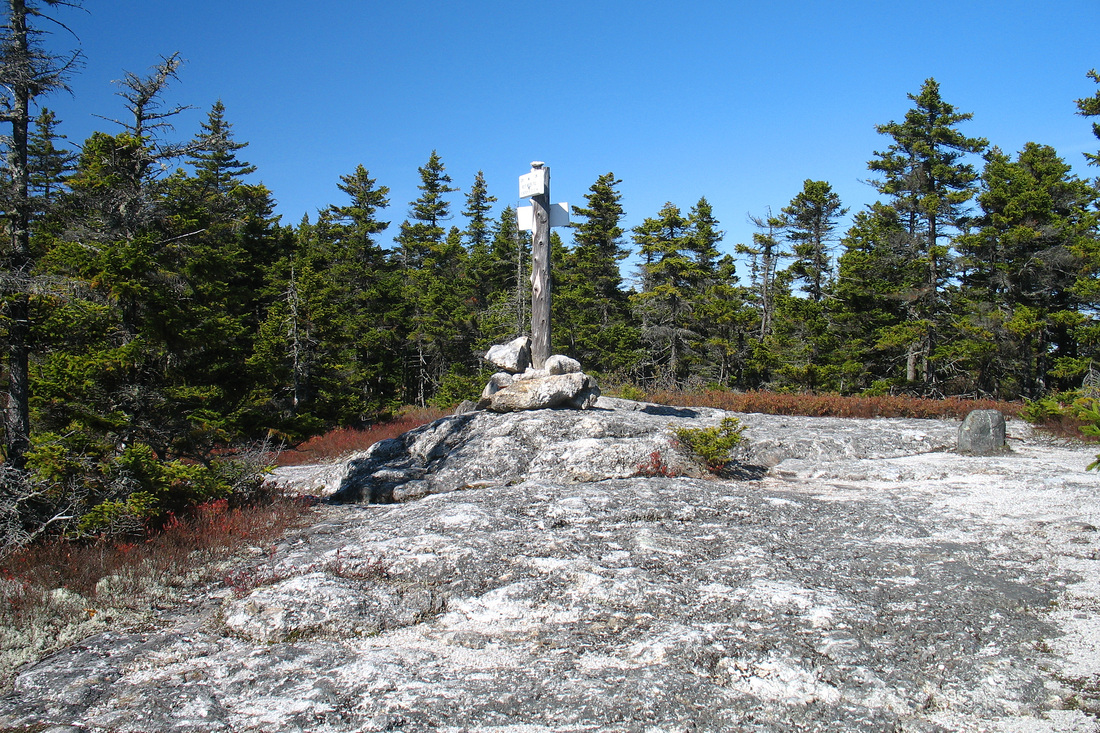
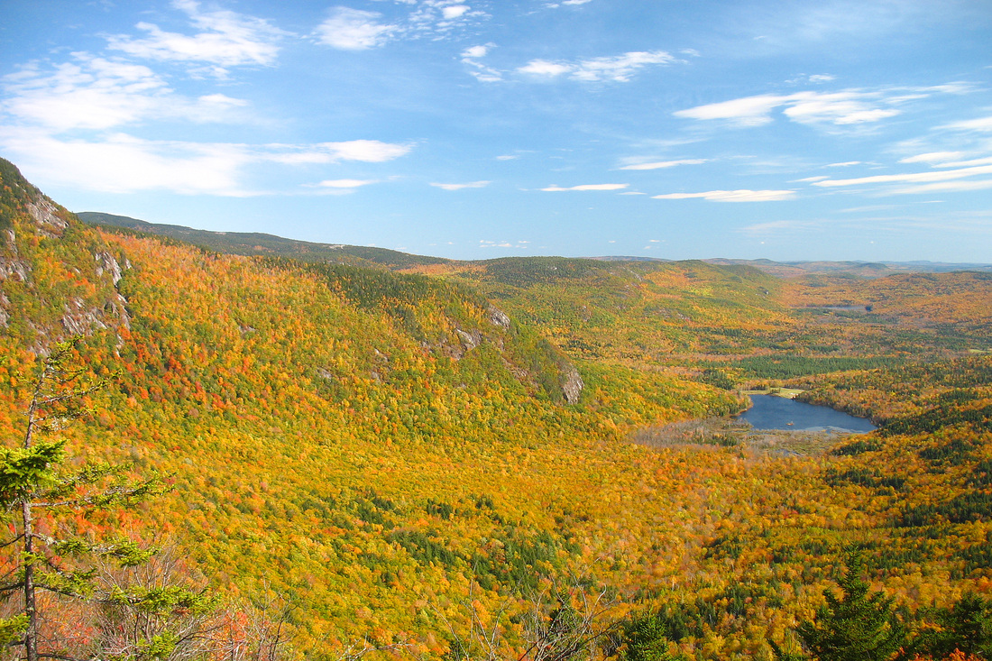
I was expecting to cross Ragged Jacket Mountain but never noticed it. Finally I figured I must have passed it...I wasn’t going *that* slow. Indeed I soon came to a fine ledge with a view back and could see the minor summit. I checked the map and saw that the trail didn’t quite pass over it. I figured that the Meader Junction was close by and would make a good destination for the day. In a few minutes I was there and briefly contemplated pressing on for he summit of Mt. Meader but thought that it was likely wooded. I decided to retreat back to the excellent ledge just below the trail junction and eat my lunch there. I washed it down with water from my 2L tank that was starting to taste rather stale. It ‘s possible that I’ll be replacing that tank soon. or at least flavouring the water to mask the nastiness of the aging plastic. My lunch view included the Royces, some subsidiary ridges, and Caribou Mt. in the background. Along the horizon were many mountains, probably including the Mahoosucs, but I couldn’t identify them all.
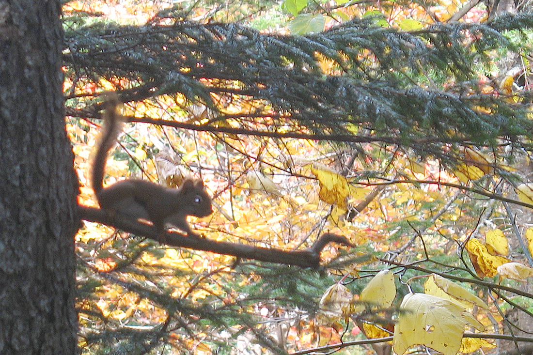
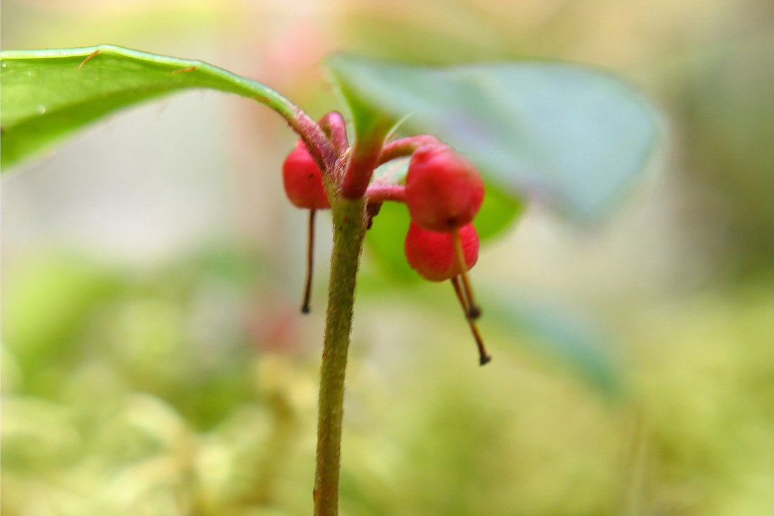
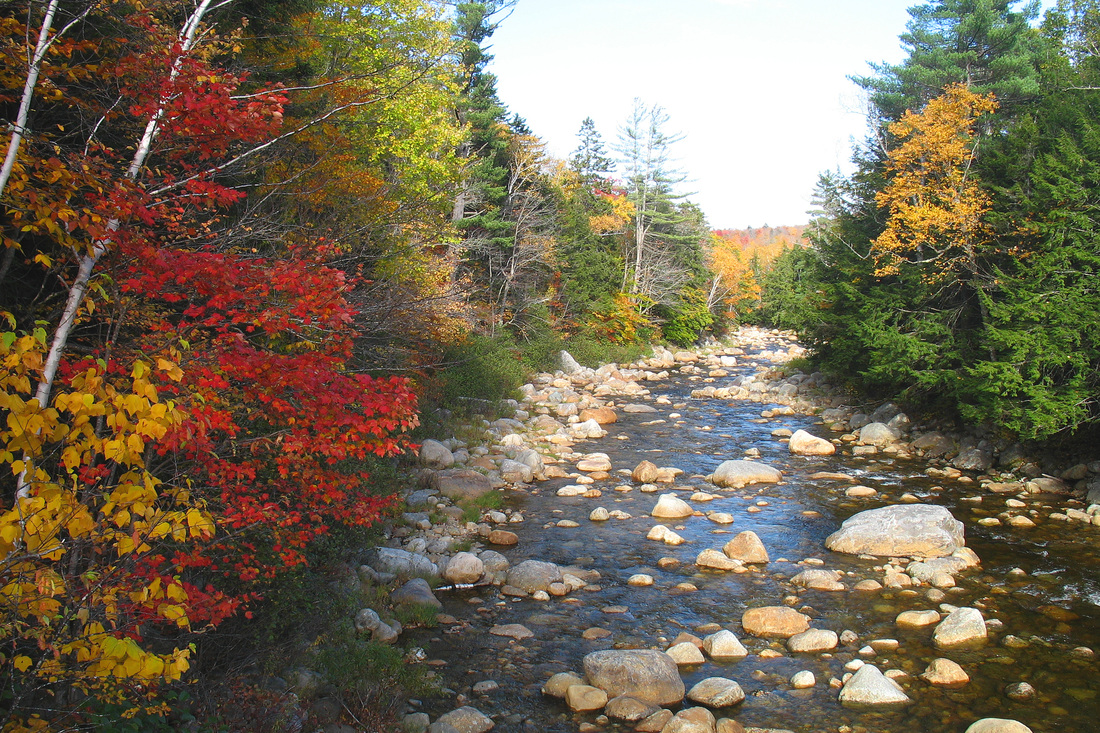
I returned the way I came and, now that I was no longer in a rush to try to complete the loop, took some time to admire and examine some of the flora in greater detail. A red squirrel chastised me for intruding into his territory. He was looking pretty thin so I decided not to argue with him and instead left him to his food collecting. Back at Rim Junction I stopped at a different ledge and experimented with some different camera settings before heading back down to the campground. I paused again at the brook junction and crossing to enjoy the cascades in the afternoon light. A few minutes away from the campground I saw the first hikers of the day, all headed somewhere up the trail.
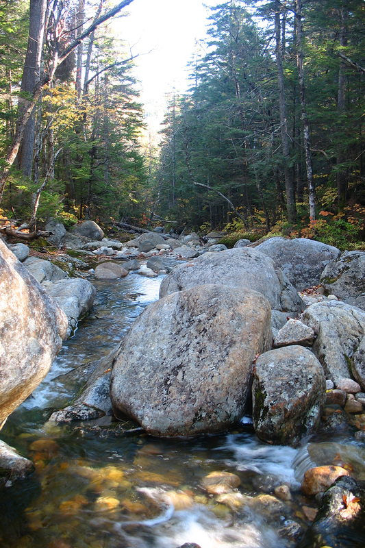
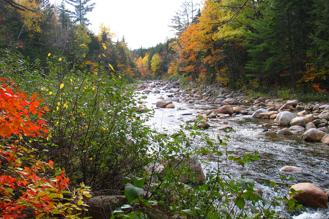
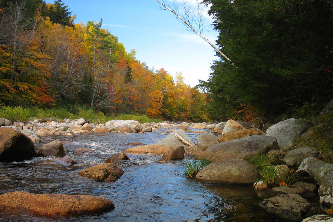
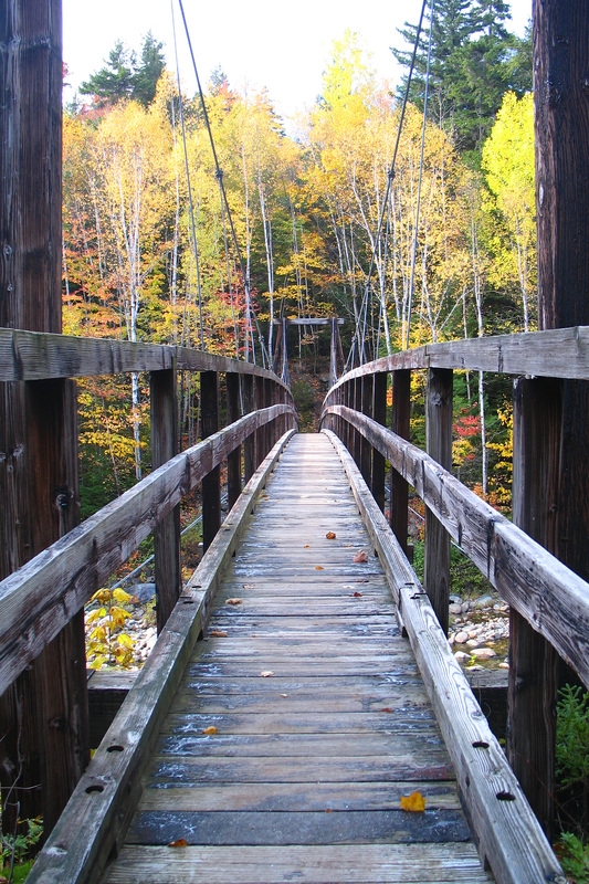
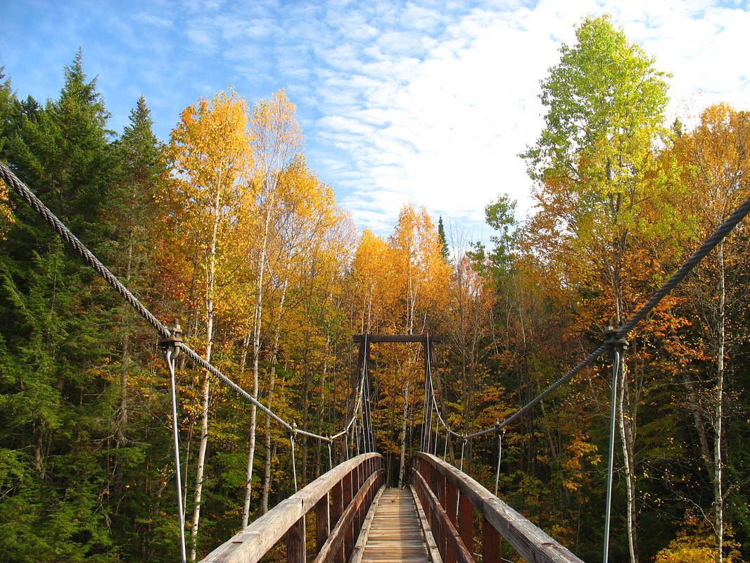
When I got to the campground I headed upstream along the Wild River Trail for a distance to the suspension bridge crossing on the Moriah Brook Trail. It reminds me of the Spider Bridge that used to span the river a few miles upstream until it was washed out in spring floods a few years ago. I spent some time with the river here before heading back to my car.
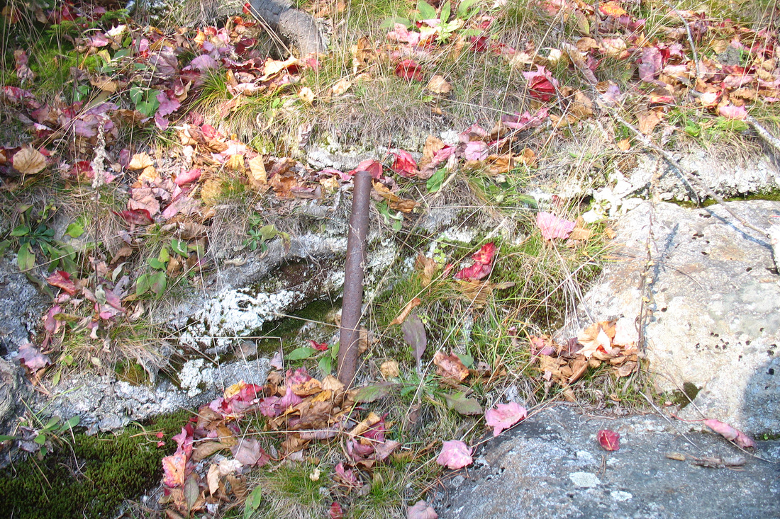
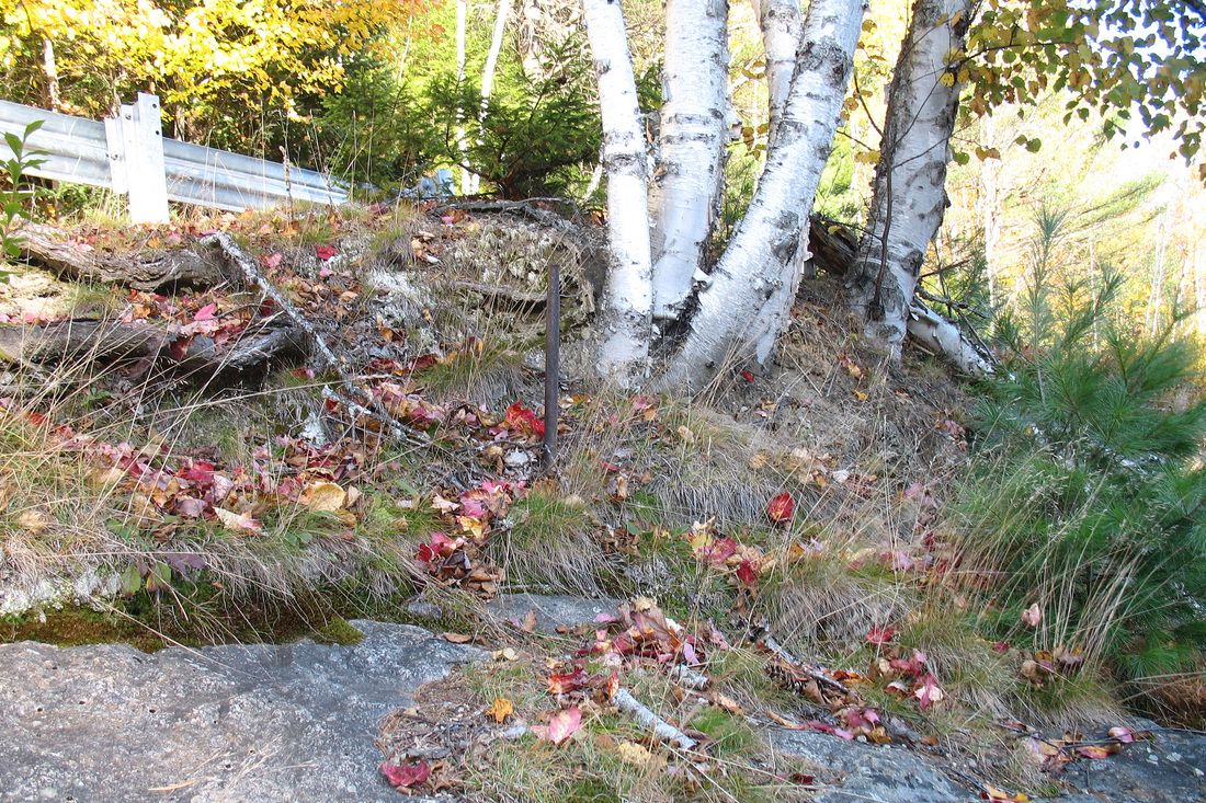
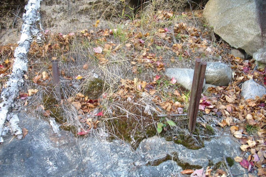
On the way home I stopped at Hastings to look for an artifact. Recently someone posted on VFTT some pictures from a lost trail, the Moriah Skyline Trail, that had one terminus at Hastings. Evidently the trail began with a hand trolley crossing the Wild River, leaving from a steep ledge just below the highway and above the water. I thought I recognized the ledge in the photo that was posted and wanted to look for any sign of the trolley. I located the ledge easily and after a short search I found two large pins in the rock. To the side was a third pin and a bundle of thick “stems” that looked as though they used to be longer wires that had been trimmed. I could not find a similar bunch on the other side of the arrangement. I did not take the time to cross the river and look for the trolley landing over there. I decided to leave that for another day and headed home.
A few more minutes of hiking brought me to the junction and I followed the Basin Trail just a bit past it to an open ledge with a fine view east over Basin Pond. I took off my pack and sat to rest and enjoy some reward for my hiking effort. I ate a snack and took several pictures over the brightly coloured valley. I was beginning to think that my loop might take quite a bit longer than expected and I realized that I had forgotten my headlamp. One reason I was saving the river walk for the return was that I thought it would be an easier finish in the dark in case daylight ran out. With no moon, however, a headlamp would be necessary. I decided to keep going, at least for some while, and just enjoy what I could of this beautiful day even if I could not hike the loop.
I headed south along the Basin-Rim trail. From Rim Junction I was in new territory and it was a wonderful trail. The woods alternated between confetti-coloured hardwoods and fragrant conifers. The forest floor was a carpet of lush mosses, lichens, spicy-smelling ferns, and bright yellow hobblebush. Occasionally I stepped out onto sunny ledges which sometimes afforded views over the Rim and Basin. On one warm outcrop I interrupted a garter snake’s sun bath. He retreated slowly, not having had time to warm himself thoroughly.
I was expecting to cross Ragged Jacket Mountain but never noticed it. Finally I figured I must have passed it...I wasn’t going *that* slow. Indeed I soon came to a fine ledge with a view back and could see the minor summit. I checked the map and saw that the trail didn’t quite pass over it. I figured that the Meader Junction was close by and would make a good destination for the day. In a few minutes I was there and briefly contemplated pressing on for he summit of Mt. Meader but thought that it was likely wooded. I decided to retreat back to the excellent ledge just below the trail junction and eat my lunch there. I washed it down with water from my 2L tank that was starting to taste rather stale. It ‘s possible that I’ll be replacing that tank soon. or at least flavouring the water to mask the nastiness of the aging plastic. My lunch view included the Royces, some subsidiary ridges, and Caribou Mt. in the background. Along the horizon were many mountains, probably including the Mahoosucs, but I couldn’t identify them all.
I returned the way I came and, now that I was no longer in a rush to try to complete the loop, took some time to admire and examine some of the flora in greater detail. A red squirrel chastised me for intruding into his territory. He was looking pretty thin so I decided not to argue with him and instead left him to his food collecting. Back at Rim Junction I stopped at a different ledge and experimented with some different camera settings before heading back down to the campground. I paused again at the brook junction and crossing to enjoy the cascades in the afternoon light. A few minutes away from the campground I saw the first hikers of the day, all headed somewhere up the trail.
When I got to the campground I headed upstream along the Wild River Trail for a distance to the suspension bridge crossing on the Moriah Brook Trail. It reminds me of the Spider Bridge that used to span the river a few miles upstream until it was washed out in spring floods a few years ago. I spent some time with the river here before heading back to my car.
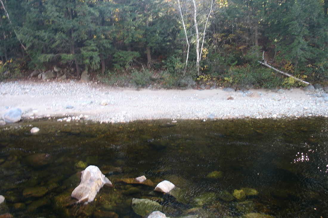
On the way home I stopped at Hastings to look for an artifact. Recently someone posted on VFTT some pictures from a lost trail, the Moriah Skyline Trail, that had one terminus at Hastings. Evidently the trail began with a hand trolley crossing the Wild River, leaving from a steep ledge just below the highway and above the water. I thought I recognized the ledge in the photo that was posted and wanted to look for any sign of the trolley. I located the ledge easily and after a short search I found two large pins in the rock. To the side was a third pin and a bundle of thick “stems” that looked as though they used to be longer wires that had been trimmed. I could not find a similar bunch on the other side of the arrangement. I did not take the time to cross the river and look for the trolley landing over there. I decided to leave that for another day and headed home.