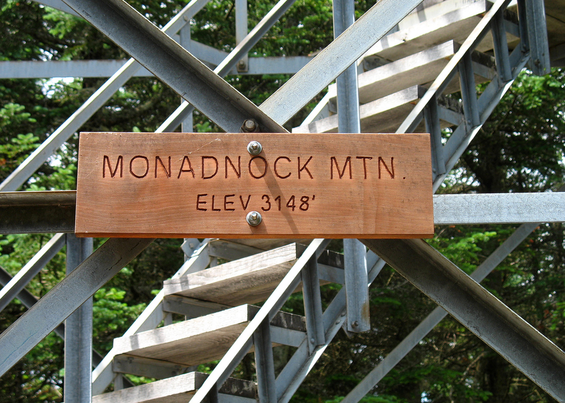
Sunday, 11 July 2010 Mt. Monadnock, Vermont
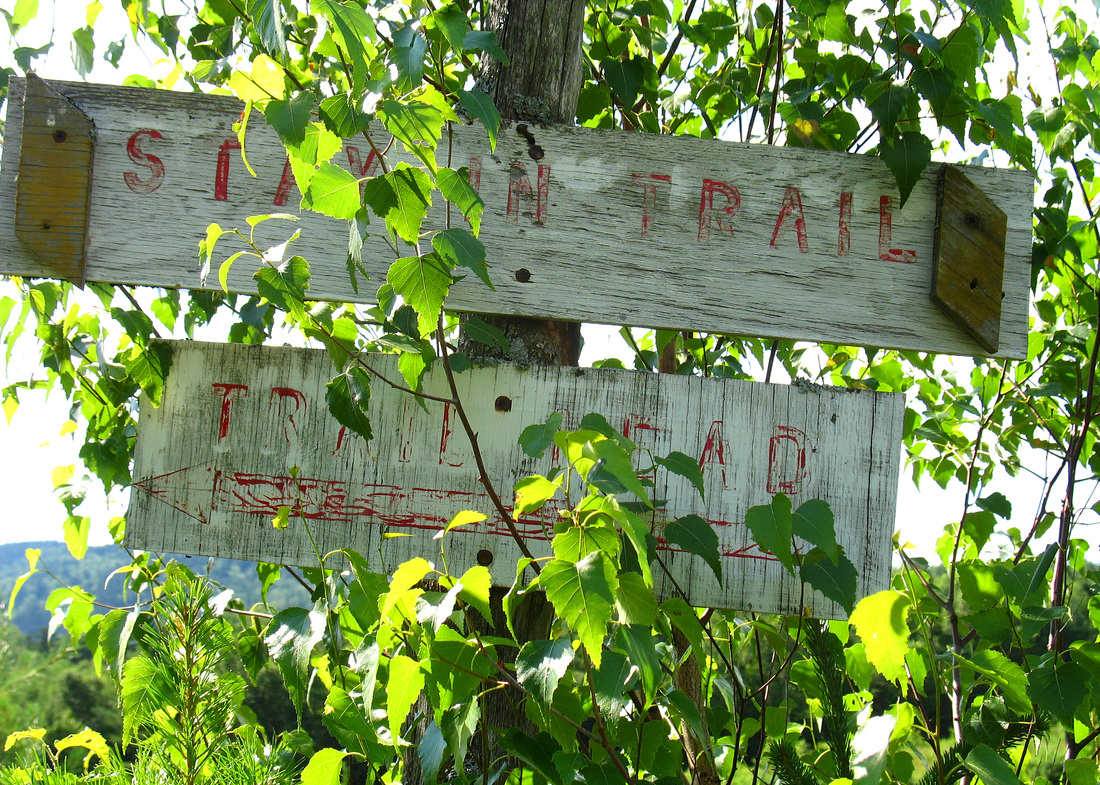
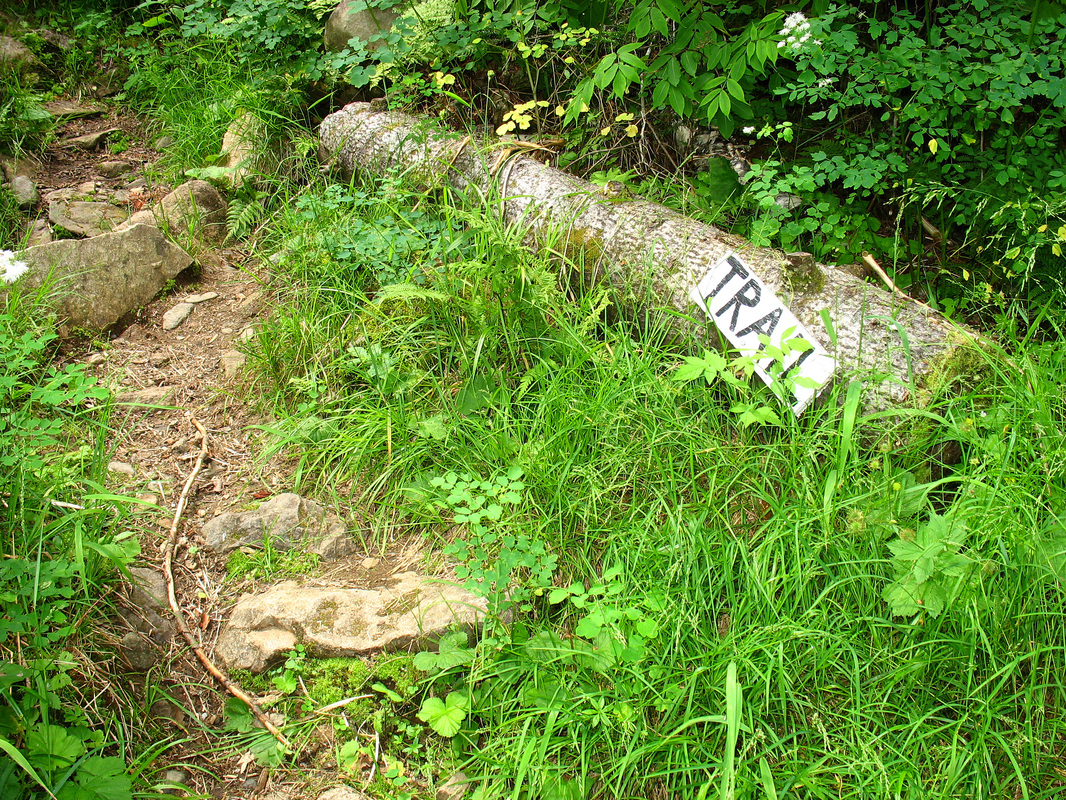
Hidden trail sign
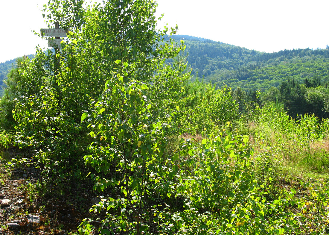
After a week of ghastly heat and humidity temps had finally dropped to the mere high 20s. Although the humidity was still aggressive and there was a chance of late-day showers and thunderstorms the forecast showed no hope for any greater relief. Today was as good as any to get out for a hike. Where to go? Last fall I dropped off my friends Guthook and FedEx at the Canadian border to begin their hike of the Cohos and New England Trails. On the way home I admired a solitary mountain just west of Colebrook, NH. It was fully wooded but clearly had a fire tower on its summit. When I got back home a quick look at the Gazetteer told me it was Mt. Monadnock. Apparently Vermont had one of its own. Not too big for a muggy day, wooded and sheltered from any storms that might come along, and a tower for views, Monadnock seemed like a good choice.
Clump of trees in which the sign was hidden
After an enjoyable drive up through Grafton and Dixville Notches I popped across the diminutive Connecticut River from Colebrook, NH to Lemington, VT and easily located the signed parking area in a gravel pit. A group of three was headed out at the same time I was and a third car awaited its hiker. The humidity was a bit of a shock after 90 minutes in my air conditioned car but I was excited to be back on a trail. I set out up the narrow road along the edge of the lot and soon wondered where the trail went. Something on the left looked kind of like a trail, maybe, but I wasn’t convinced. I went forward about 25 meters and was even less convinced that the trail went that way. As I stood looking around and deciding whether to head back to the left turn I’d rejected the group of three came up the trail and told me that was the way. As I backtracked and took the turn I noticed that the faded old sign overgrown by a tree was indeed directing hikers to the left. This was the only route-finding difficulty of the day.
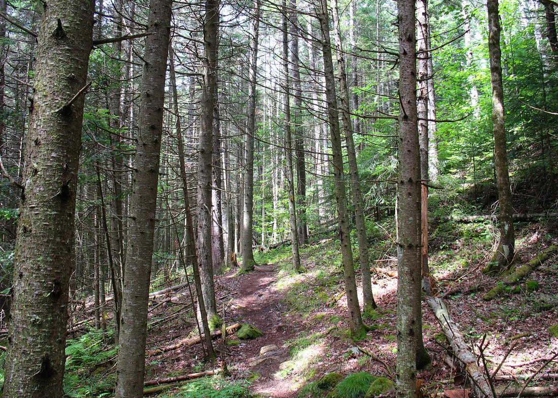
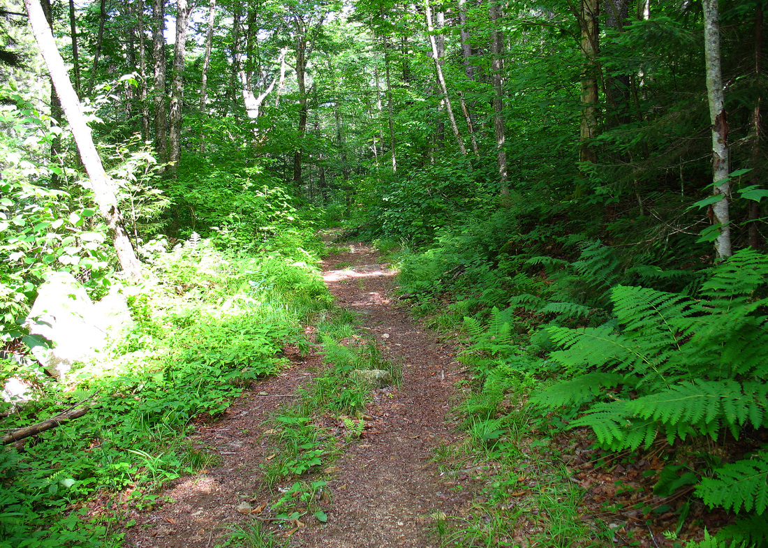
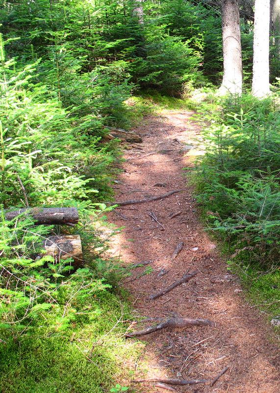
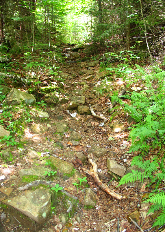
Open woods near the beginning of the hike
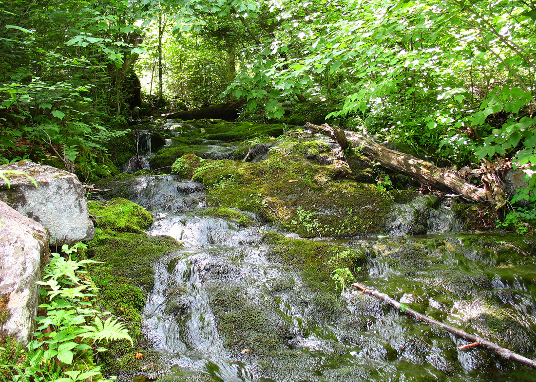
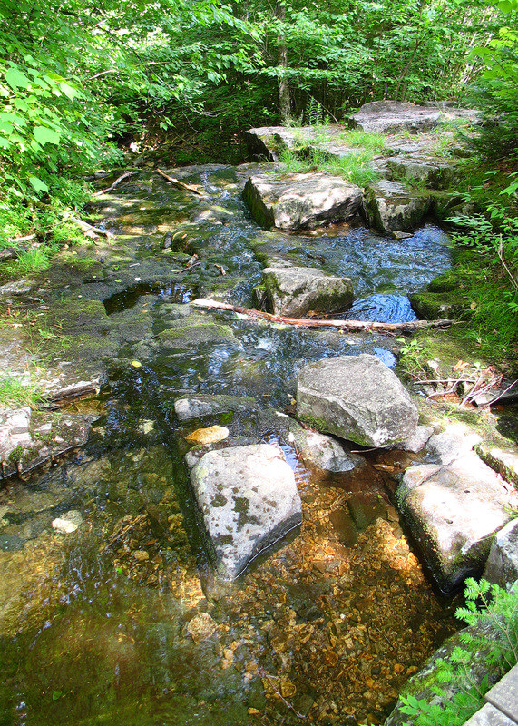
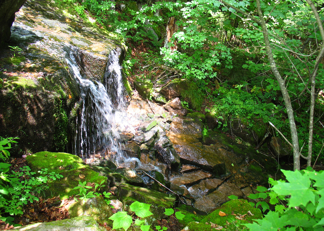
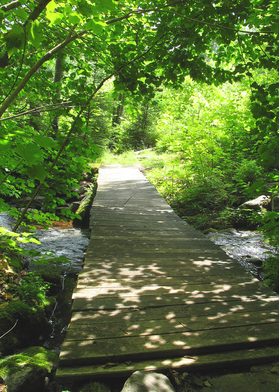
The first little bit of trail wound through an attractive meadow on an old part of the sandlot. It was somewhat overgrown with an assortment of lovely midsummer wildflowers and shrubs but the trail was easily followed. Soon the trail carried me out of the meadow and into an open wood of spruce and fir. I was feeling kind of hyper from having been cooped up for the previous week and with the initial ease of the terrain I started out with a quick pace. Soon I was wheezing slightly, sweating heavily, and a variety of insects had taken an intense interest in me. I stopped to spritz on some bug dope and take a hit off my inhaler. I followed that with a swallow of unappetizingly warm water before swinging my pack back over my shoulders. As I resumed the steady climb I started to feel a bit dizzy and nauseous and decided to ease up on the hiking speed. I crossed a small stream and then the trail turned right onto an old road, now surfaced with grass and dry leaves and pine needles. Still not feeling better I slowed my pace a little more. A half hour after my first short break I came to a spot where the trail crossed the stream on a simple bridge. Just below the crossing was an appealing little water fall. Still feeling woozy, I dropped my pack and sat on a rock between the trail and stream. After catching my breath I made my way over to the waterfall and stuck my head in it for a couple minutes. Oh, this was SO much better. I sat back on my rock for several more minutes while the frigid water that had collected in my hair made tiny rivulets down my neck and shoulders. I regretted leaving my filter at home. The icy stream water would have been infinitely more satisfying than the lukewarm liquid that I slurped from my Platypus.
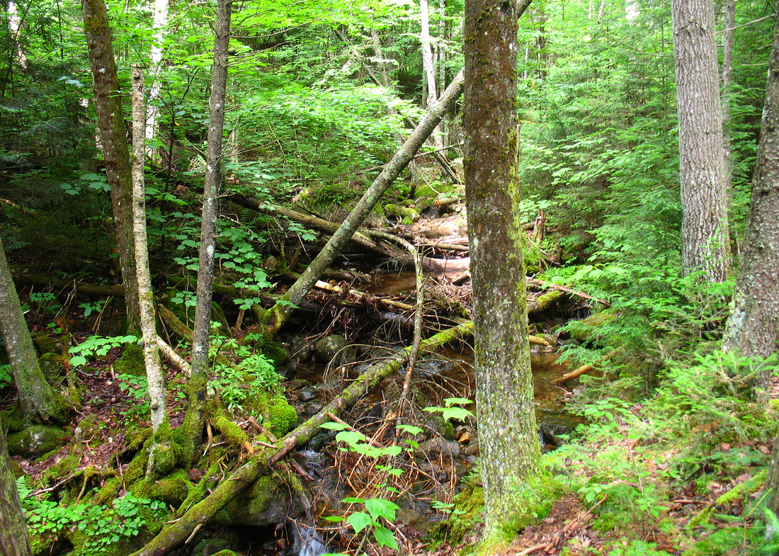
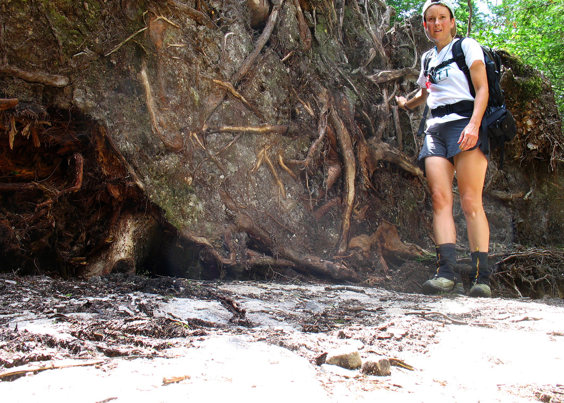
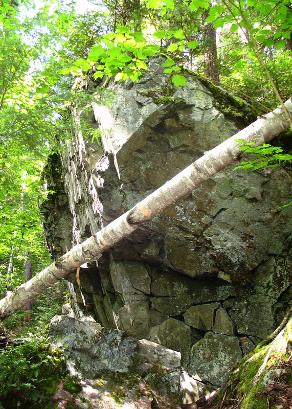
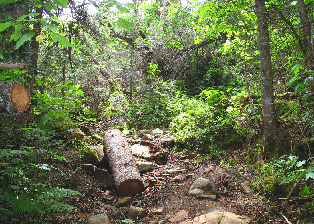
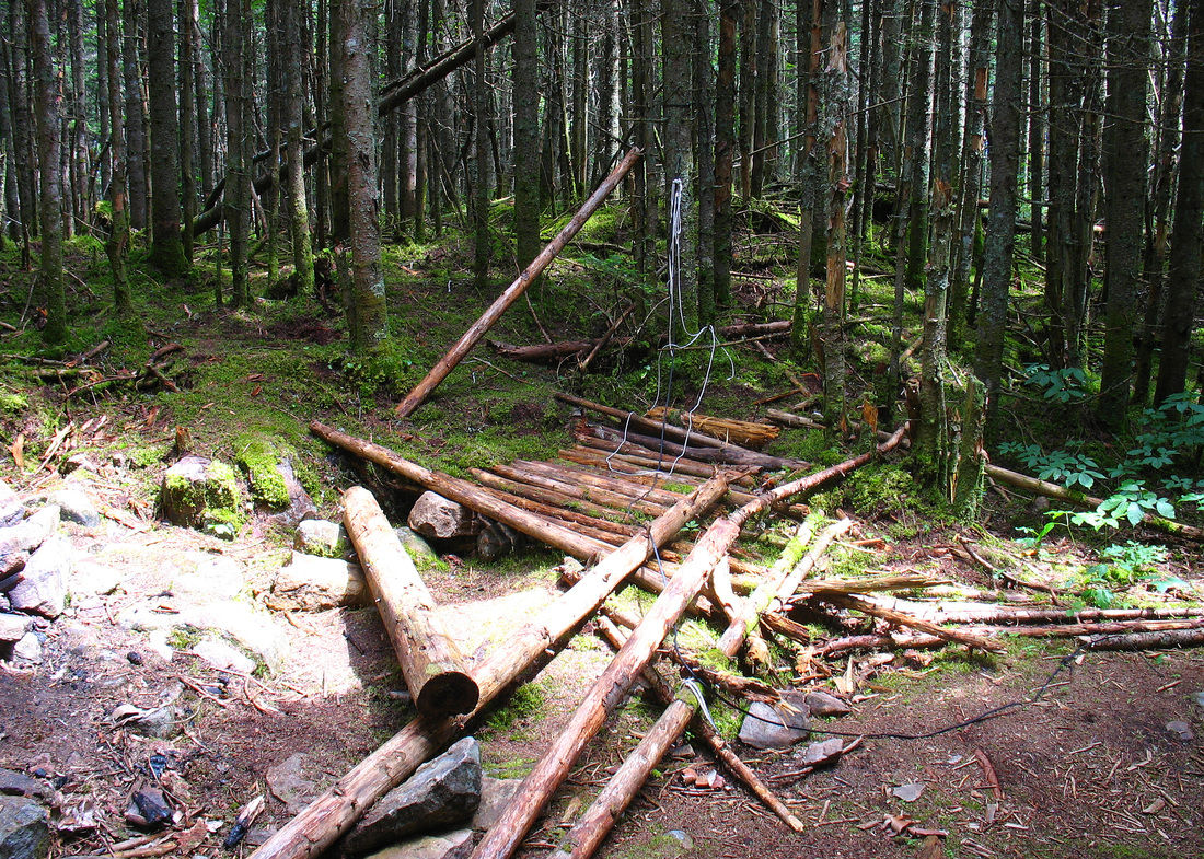
Huge blowdown
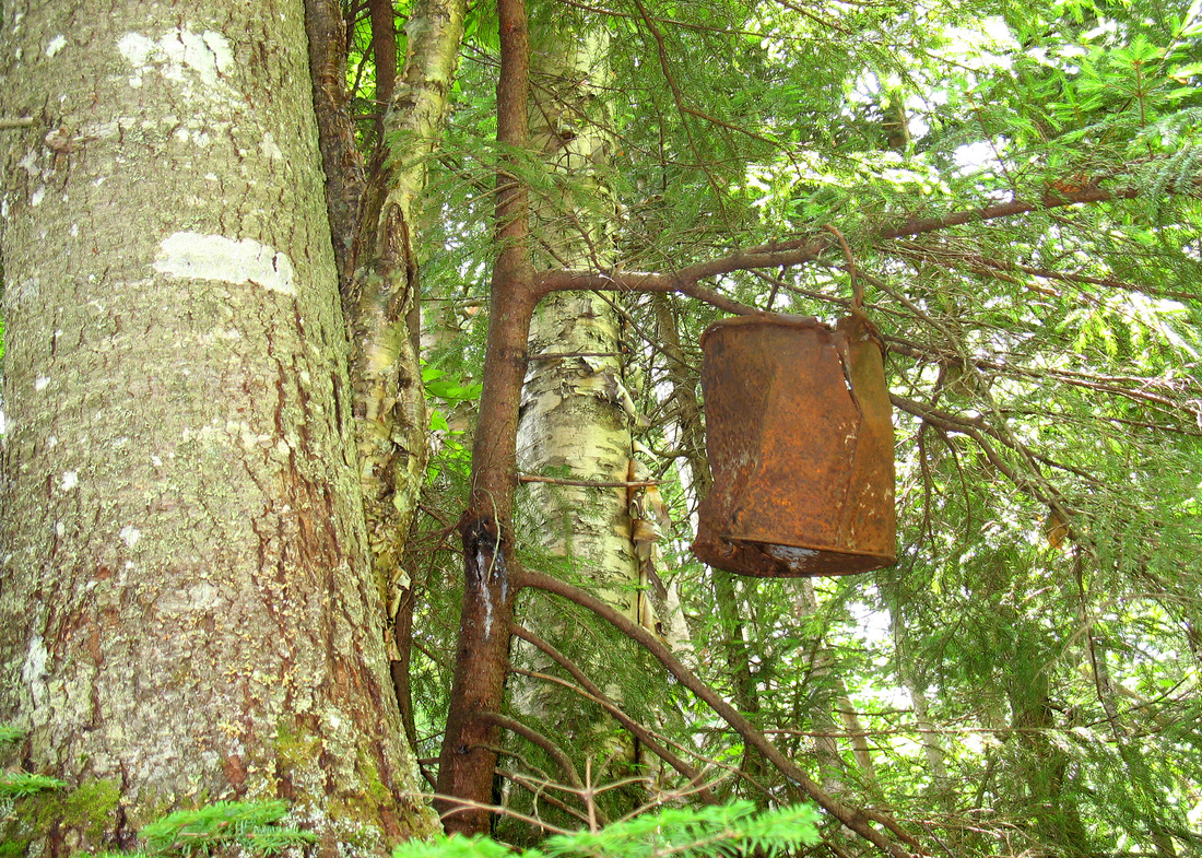
Too soon I collected myself and crossed the bridge, leaving the old road behind for a rocky trail through mixed hardwoods and conifers. The relief provided by the stream didn’t last long and more than once I nearly spilled my stomach. I walked ever slower, trying to find a pace that I could maintain. The pace I settled on felt somewhere between that of a snail and a turtle but the malaise eased up and I was able to pay more attention to my surroundings. There was birdsong courtesy of the black-throated green warbler, the Swainsons thrush, and a golden-crowned kinglet. I passed an ancient rusted pail hanging from a small tree branch, testament to some long forgotten passerby. At some point I crossed a line. It was not the usual kind of line that I cross, but a meteorological one. The muggy air took on a coolness at this elevation, a light breeze whisked some of my excess body heat away. My legs lost their wobbliness and the climb became pleasant. Not wanting to spoil it, I kept my slow pace and plodded upward. I passed through an area that had seen a lot of blowdown in recent years, including one very impressive one that peeled up a great area of earth from the mountain bedrock. Minutes later I was at the summit.
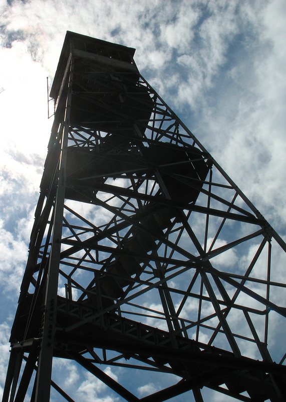
Fire tower reaching up to the clouds
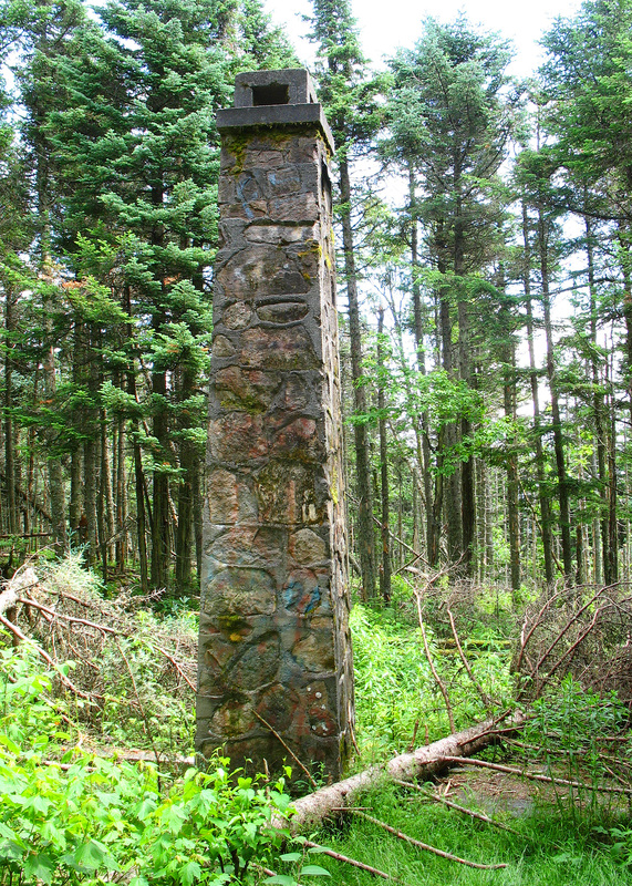
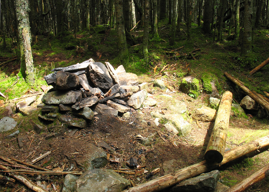
A sturdy firetower rose into the sky and I climbed it straightaway. Once above the treetops a brisk wind refreshed me. From the open cabin at the top was a hazy 360o vista. I spent a great deal of time up here enjoying the cool breeze and taking in the view. I recognized none of the mountains. I supposed on a clear day some of the Whites might be visible to the southeast, along with Camels Hump and Mansfield to the west. After descending the towerr I explored the summit a bit. It was at once interesting and disappointing. A foundation and chimney sat just a few meters away from the tower in mossy woods. Perhaps it had once housed the warden who watched for fires from here? Unfortunately it had been graffitied. Broken glass intruded upon the ground below the fire tower and herd paths led to dumpy and littered bootleg campsites and fire rings. A sign near the tower informed me that the land was privately owned and made available to the public through a conservation organization. Not everyone appreciates the gesture.
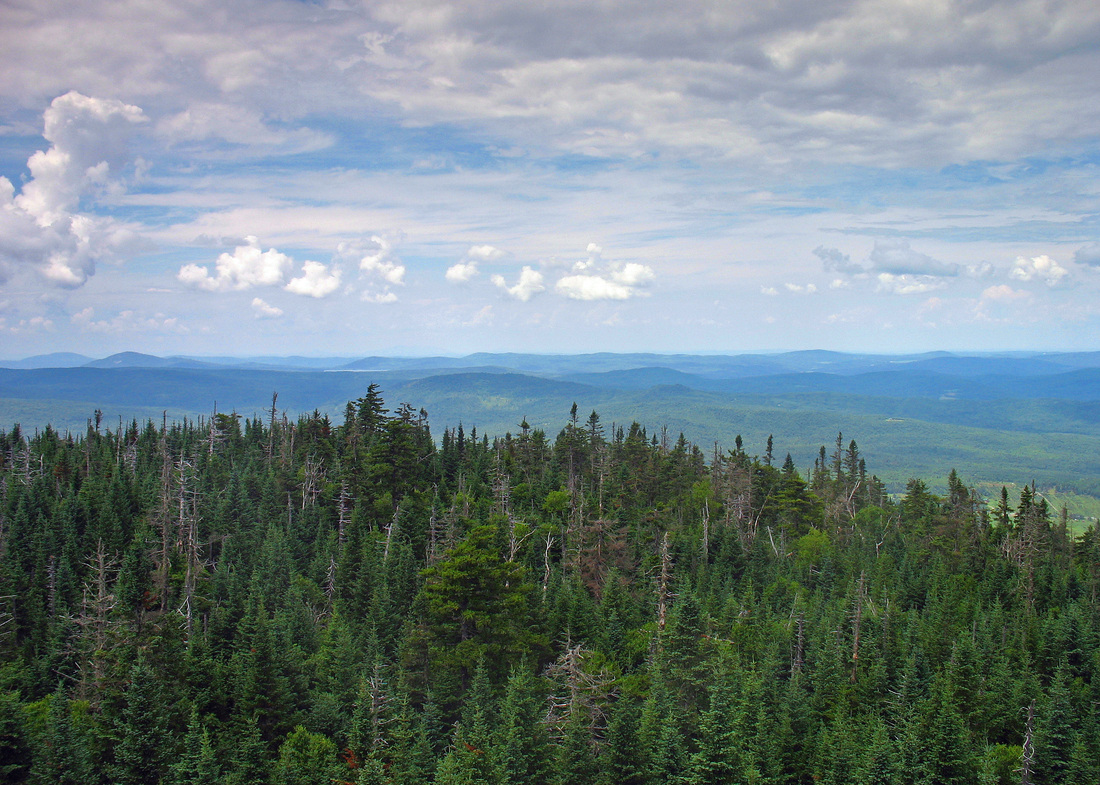
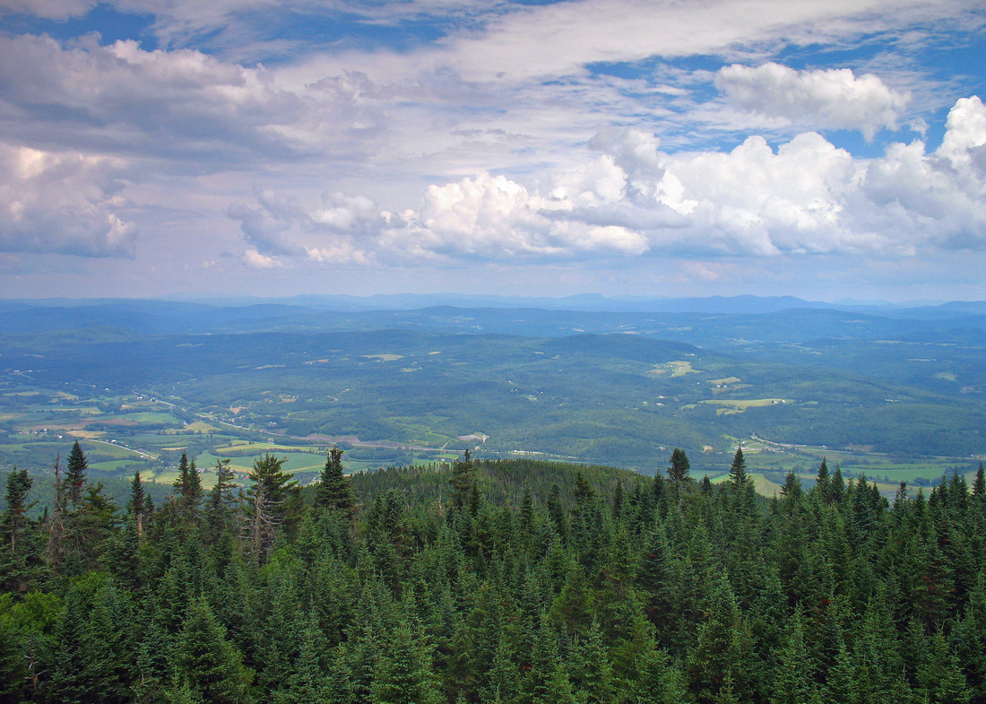
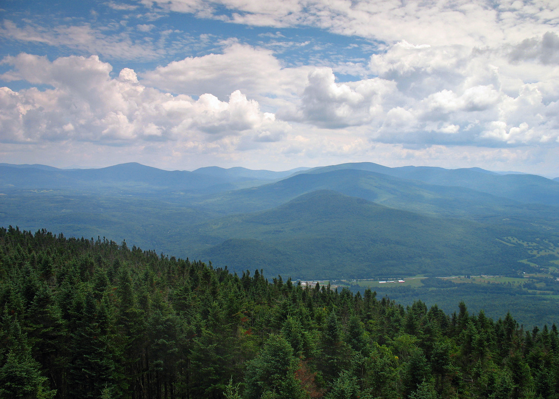
South - southwest views:
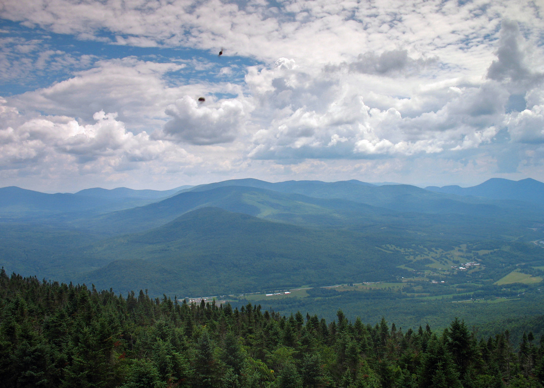
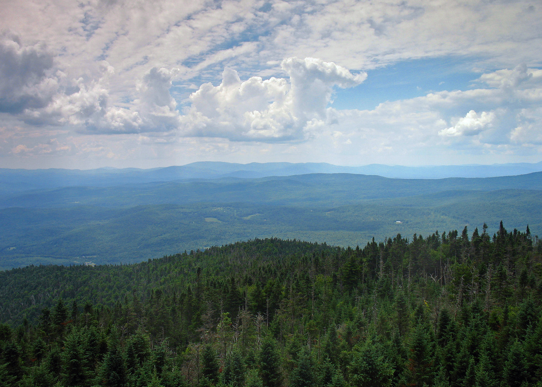
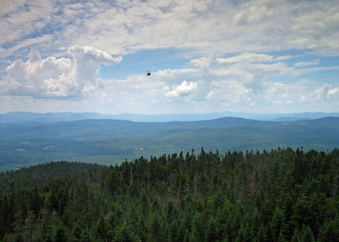
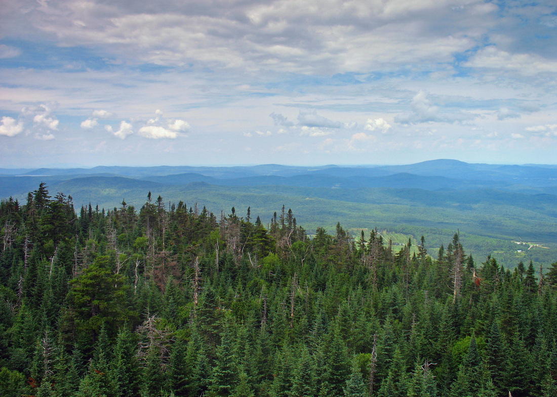
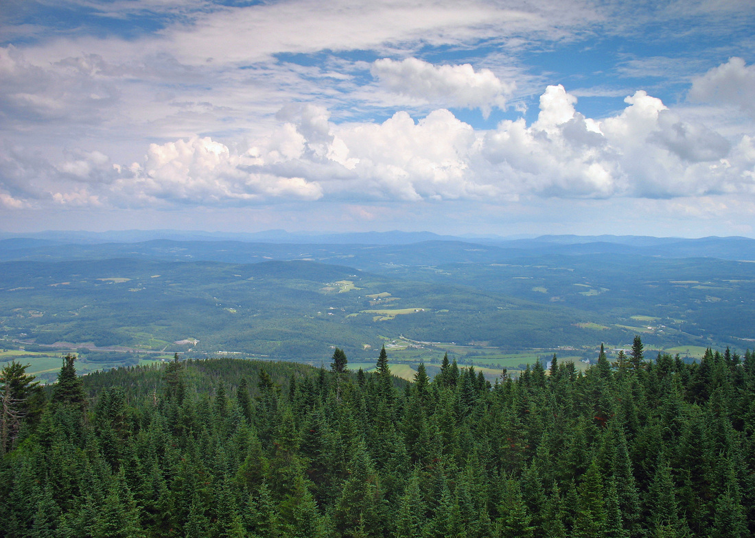
West - northwest views:
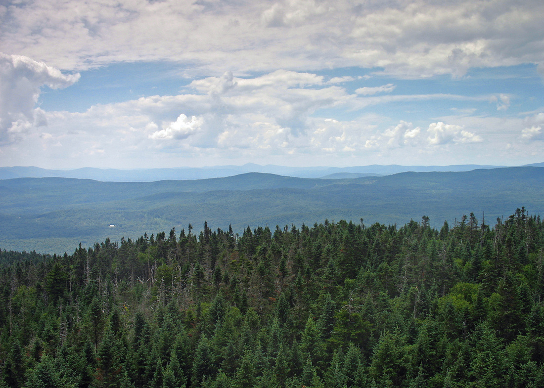
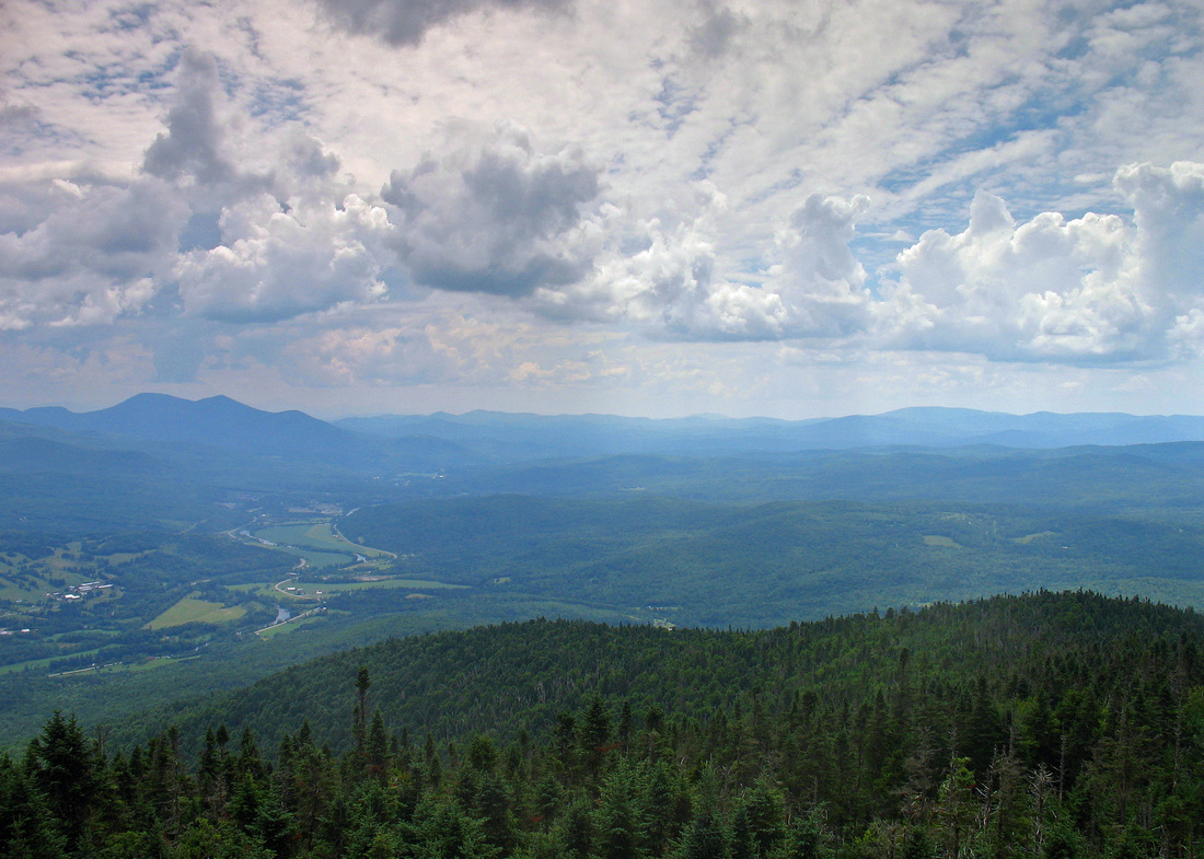
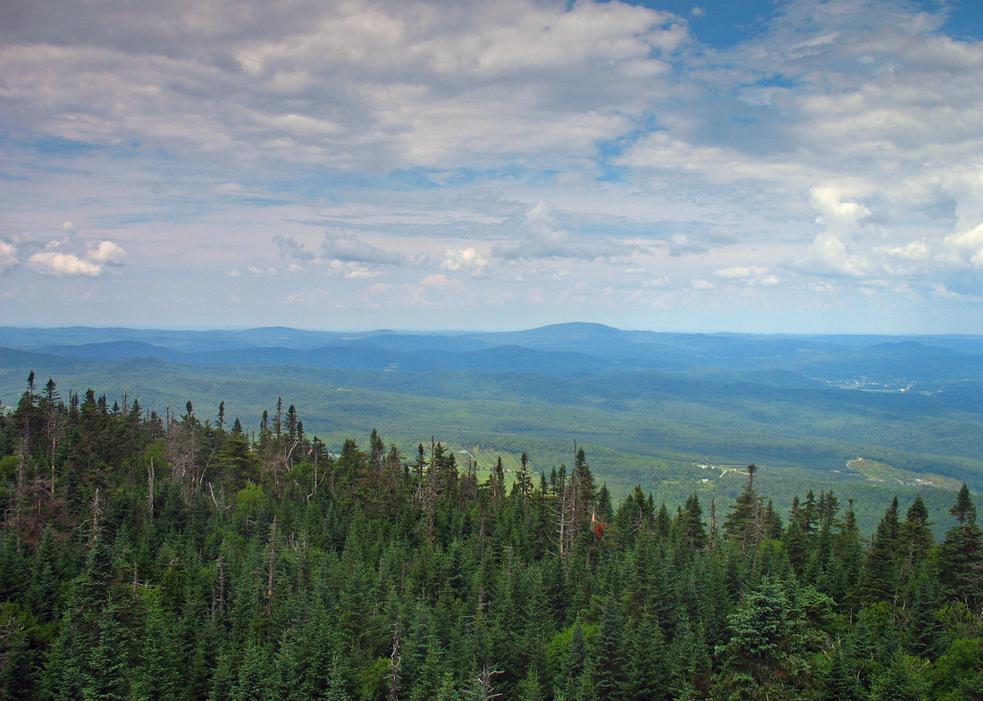
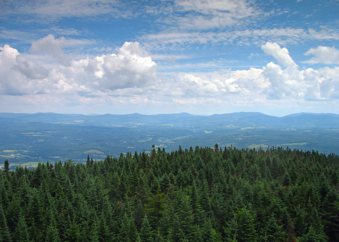
North - northeast views:
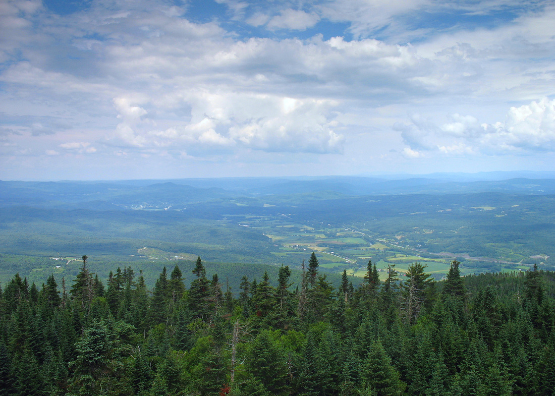
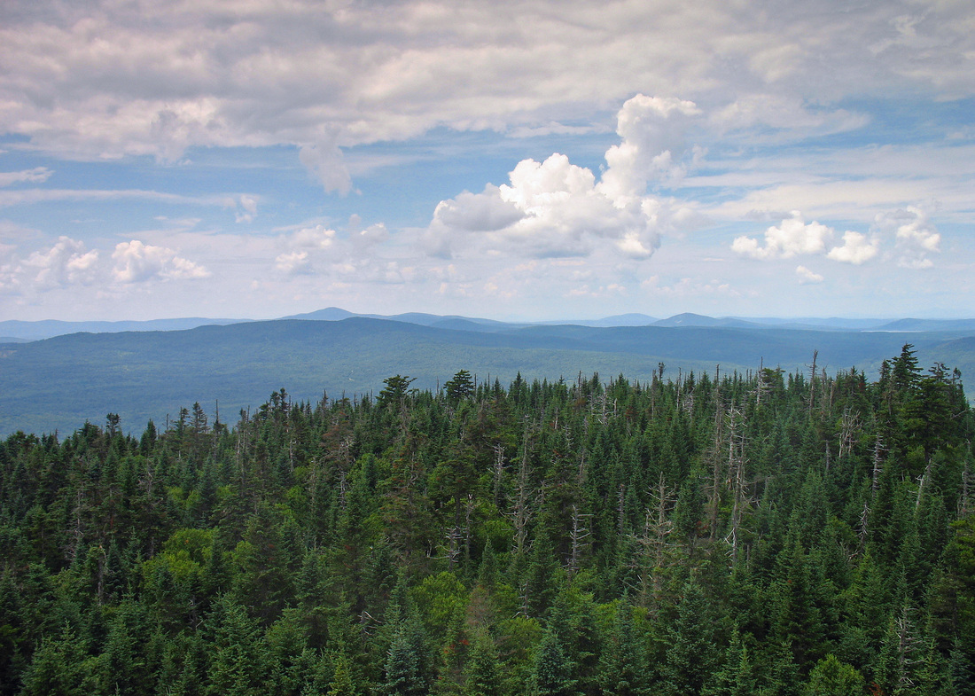
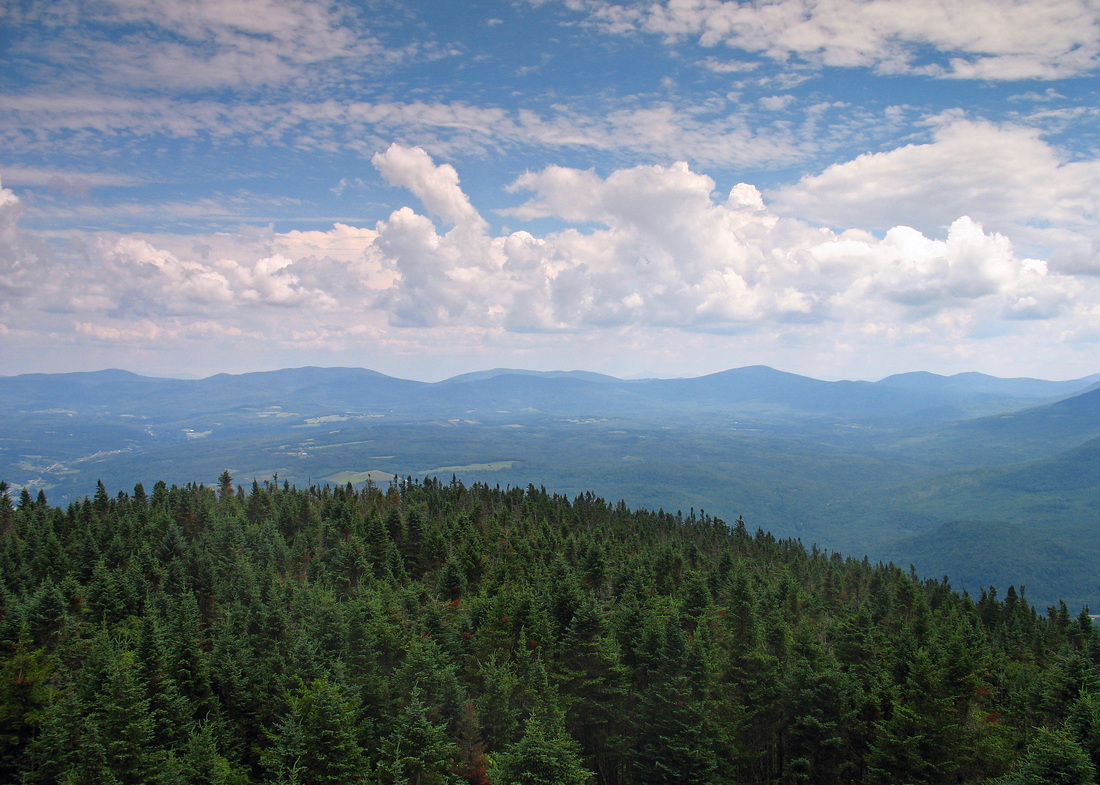
East - southeast views:
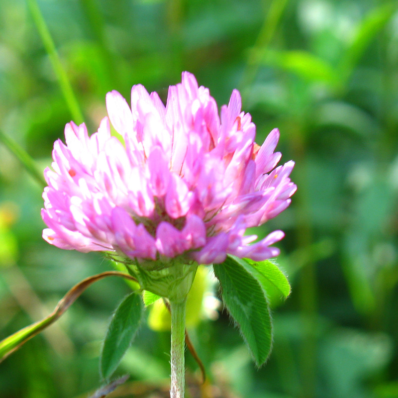
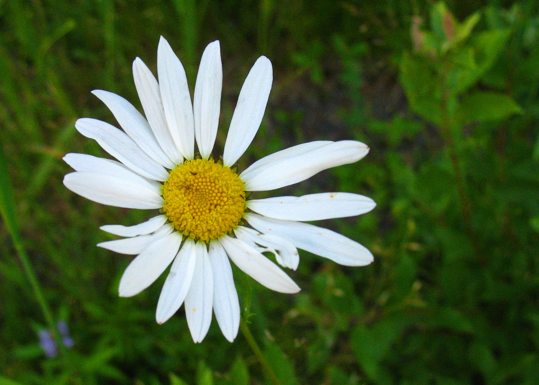
Red clover
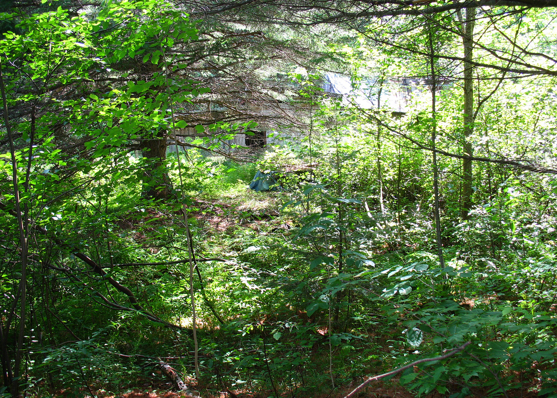
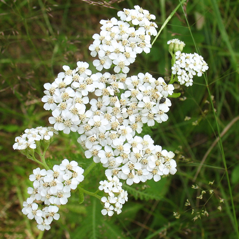
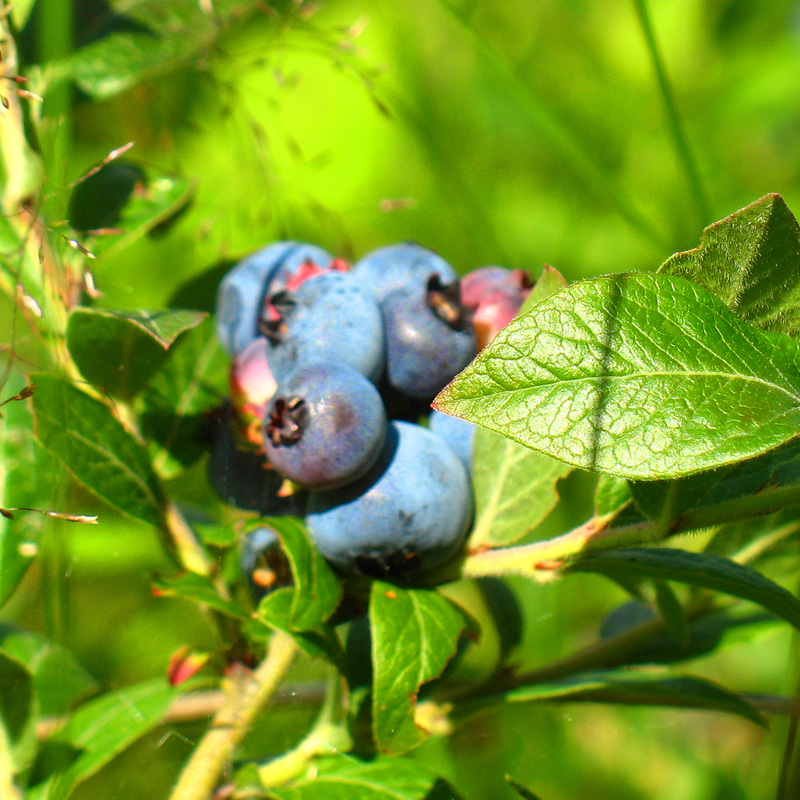
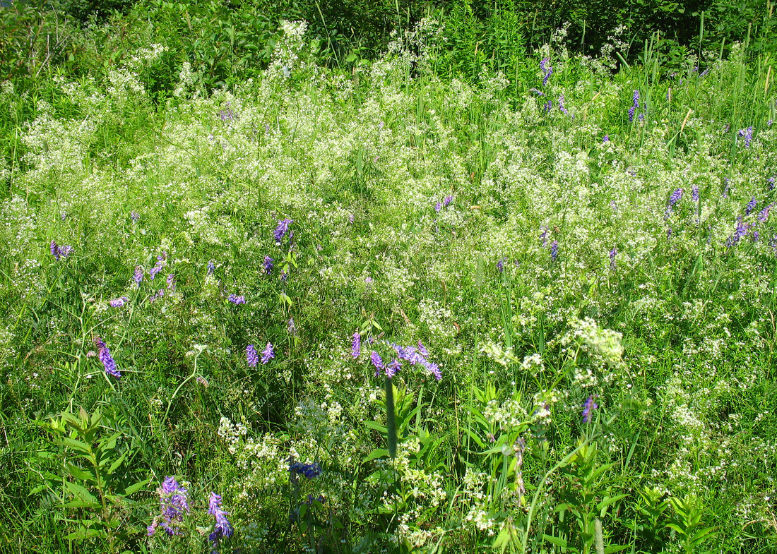
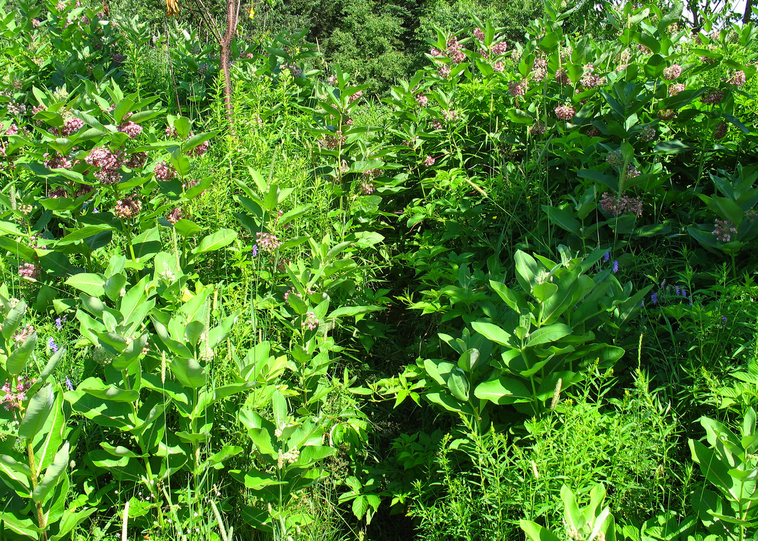
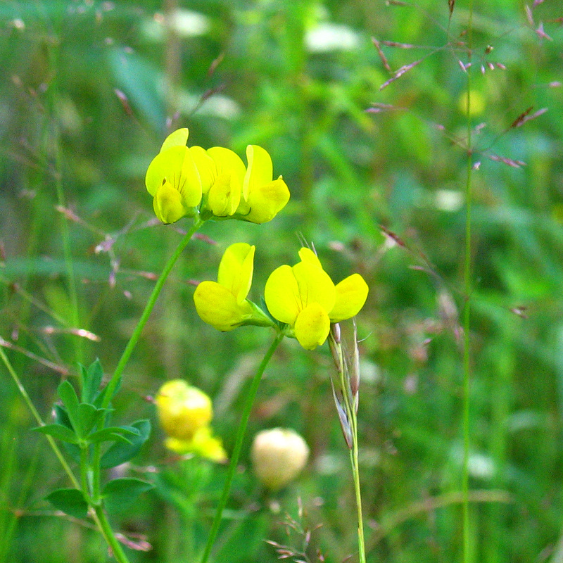
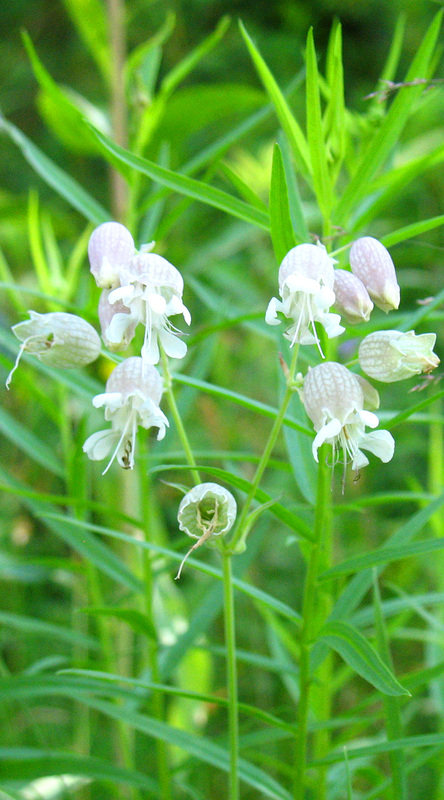
To return to my car I retraced my steps. On the climb I hadn’t really noticed how varied and interesting the trail is. The human interaction was evident from top to bottom: the tower and foundation, the rusty pail, an old falling-down house in the woods near the base of the mountain, the gravel pit. I also passed through many micro-environments. High elevation spruce-fir woods gave way to mixed hardwoods as I descended. A sudden noise ahead called my attention to a cow moose as she dashed off. A little later, an explosion of feathers and leaves erupted just to the side of the trail as a ruffed grouse announced her displeasure at my passing. And there were toads, many, many toads. They ranged in size from tiny enough to fit on my thumbnail to one so large she would barely fit on my outstretched hand. I crossed the stream again and took time to admire its rich mossy bed before soaking my head again and moving on. Back on the logging road hot, sun-filled openings hosted lush and vibrant vegetation. Nettles warned me away as I passed through. I moved through spruce and fir again briefly before returning to the sandlot meadow that marked the beginning and end of my journey for the day. Here I found red clover, birdsfoot trefoil, a dense thicket of common milkweed. The first ripe blueberries of the season tempted me. I selected a large one and crushed it against the roof of my mouth with my tongue. The juice was sweet and warm from the sun. Many more berries followed. Delicate yarrow was abundant and cow vetch and tall meadowrue grew together, a feathery purple and white concerto. Bladder campion and asters, including oxeye daisies stood watch over the last bit of road leading to the car.