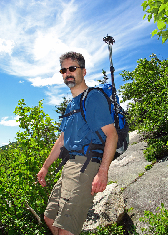
02 July 2010 Eastman Mountain, New Hampshire
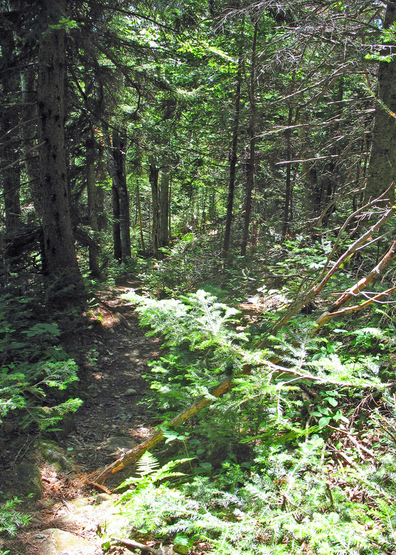
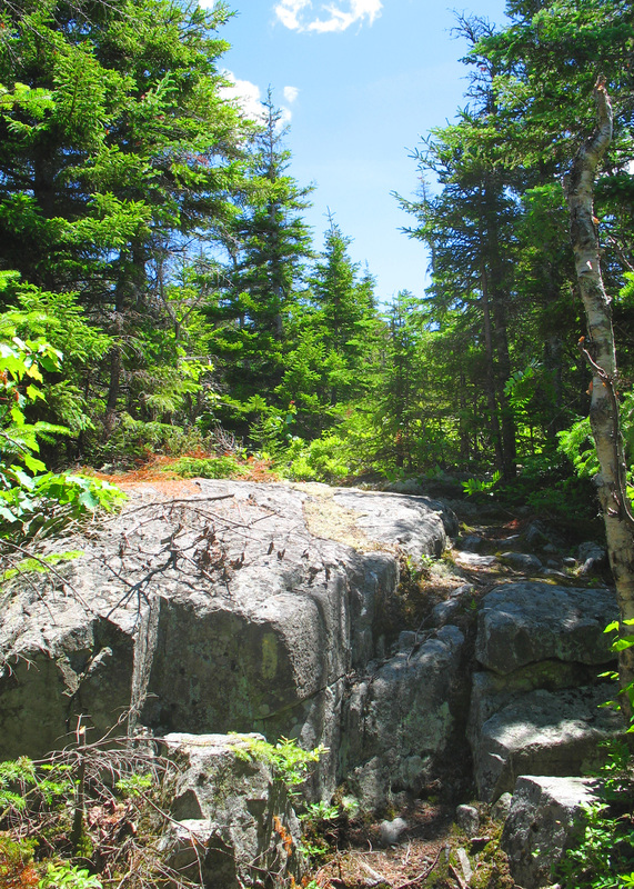
A well-traveled bit of trail begins the day
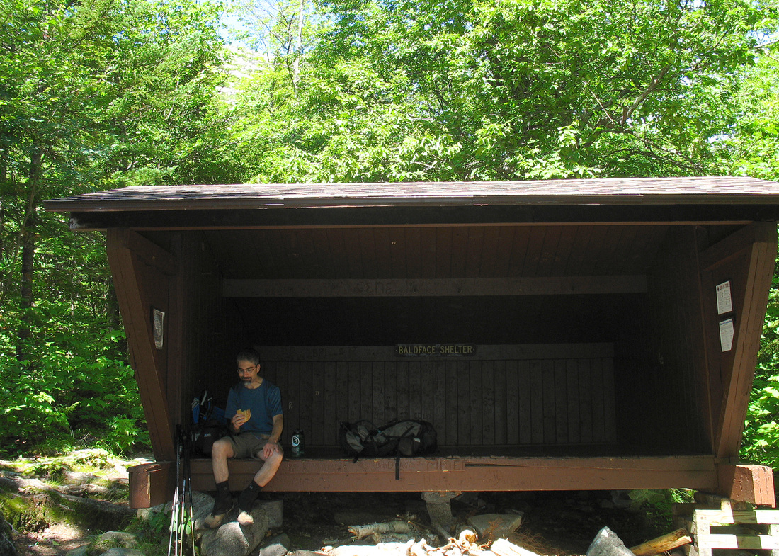
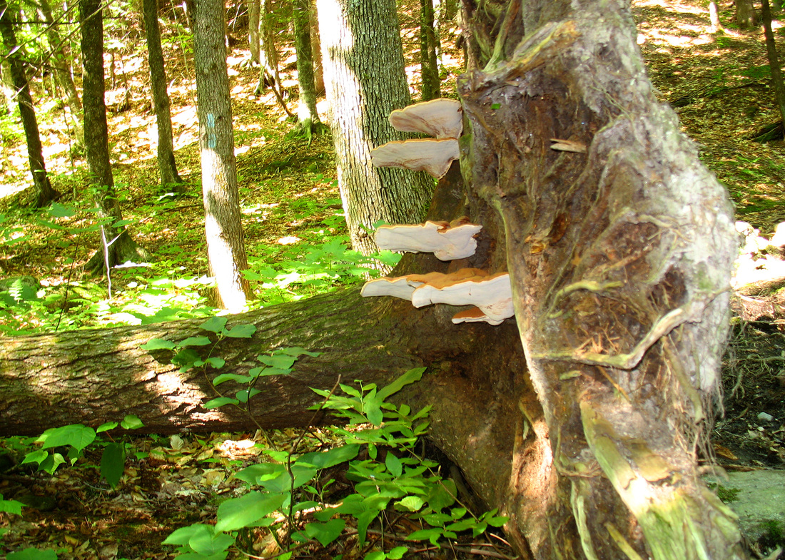
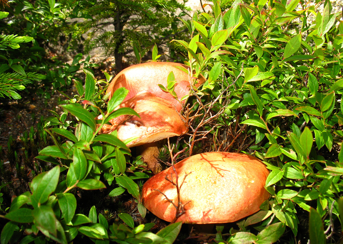
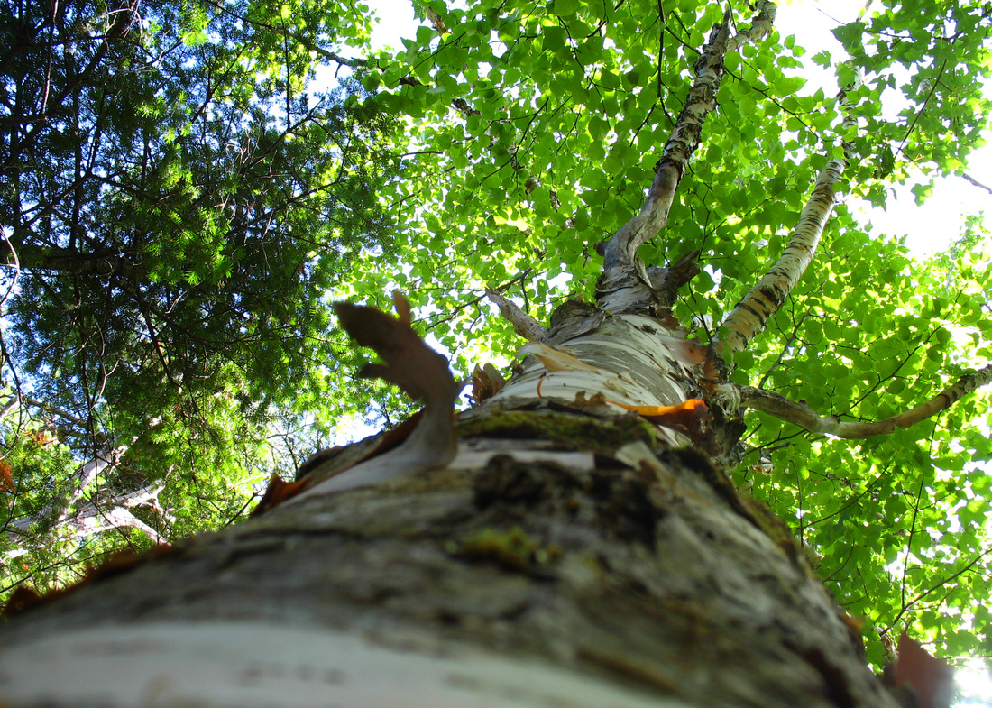
It took me a few days to recover from last week’s hike. At 13 miles and 2500 feet of climb it was moderate by my usual standards but as I slowly unfolded my sore and stiffened body from my bed the next morning I realized it had been last September since I’d exceeded ten miles. Once fully recovered it was time to plan the next adventure. Kevin was game and joined in. The forecast looked superb so something with views was in order. After gazing so fondly at the ledges of South Baldface from Eagle Crag last week I decided it was time to revisit an old friend. We hit the trail shortly before 9:00 wearing long pants to ward off the chill of this unusually cool morning. The trail starts out pretty flat and quite wide. In contrast to the trails I walked last week, today we’d be spending some time on well trodden ground. We soon passed the sign for Emerald Pool - as frigid a swimming experience as any in New England - and then came to the junction where the Baldface Circle Trail splits into its two branches. We tipped left and began to gain some elevation as the veery, hermit thrush, and Swainsons thrush sang away. Soon warmed by the climb we removed the legs of our hiking trousers and continued on. Although the trail at this stage was reminiscent of a sidewalk it had its attractions. Birdsongs accompanied us as we climbed easily past a blowdown with interesting shelf mushrooms growing from the roots. The breeze which had been chilly at the beginning had increased and was now a quite refreshing wind. Small trees bent into the trail in gusty greetings. As the incline increased again we passed a small sign announcing that the south Baldface Shelter was only a quarter mile away. Snacktime was near! As we approached it a group of about 10 boys with their leaders passed us on their way down after spending the night.
Kevin, enjoying the peace and quiet
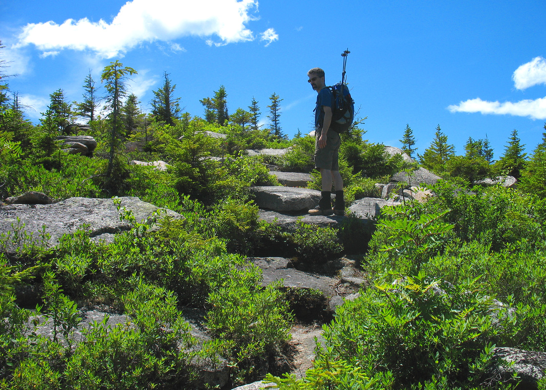
We arrived at the shelter finding it in good shape and briefly occupied by SOME EXTREMELY LOUD FRENCH CANADIANS. I’m pretty sure their families in Quebec could hear them plainly as they discussed whatever it is French Canadians loudly discuss at an open shelter in the middle of the woods. They ignored us thoroughly and I wished dearly to belch or break spectacular wind but I just didn’t have it in me at the time. They proceeded up the trail and we proceeded with our snacks. Having eaten and visited the privy we too headed up the trail. As we passed behind the shelter we noticed a very cleverly designed overhang with about a dozen loaded packs stashed in it. In a few moments we met their owners: a group from a boys camp who had been at the shelter the previous night and were just returning from a morning trip to the summit. They informed us that it was windy at the top and indeed the wind was increasing. As we chatted we stashed our poles on our packs. They would be useless on the ledgy climb we were beginning. I removed my hat and clipped it to my pack lest it blow off and show up on some NASA radar.
An open, sunny ramp
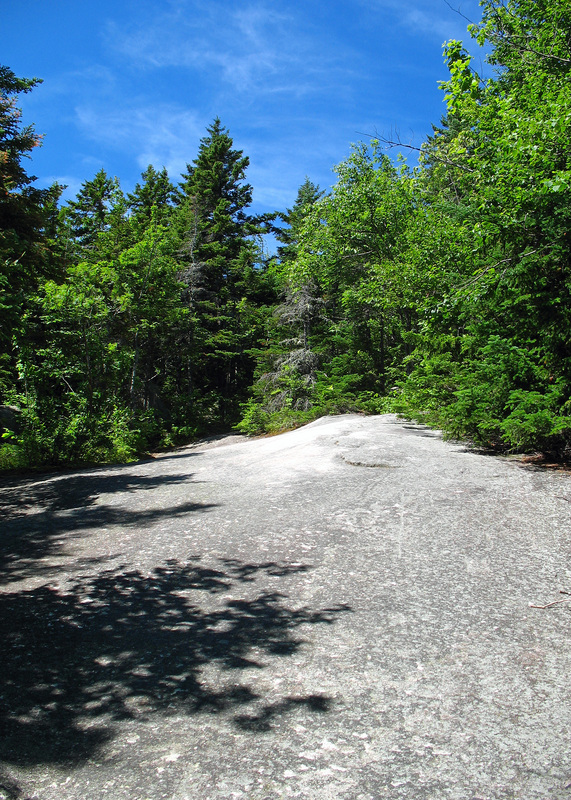
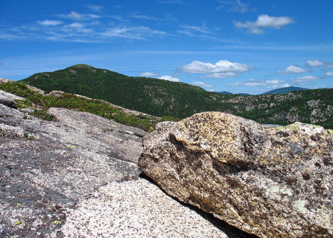
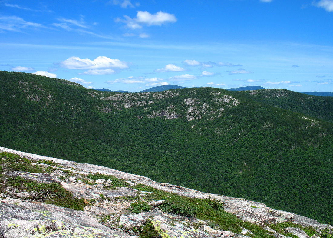
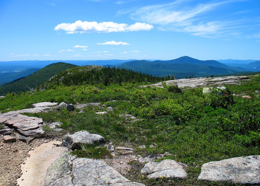
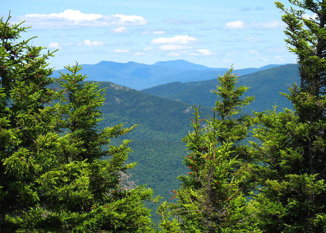
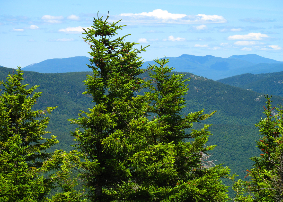
We walked up the first ledge under a vividly blue sky. There were a few fair clouds but the air was dry and I knew that views would be excellent. Soon we gained the top of a ledge that gave us our first long-distance perspective on the day. To the northeast the Royces, Mt Caribou, and Speckled Mountain stood watch, to the east was the rolling terrain of western Maine and to the southeast rose solitary Pleasant Mtn in Bridgton. The wind was on the rise but so far there were enough trees to shelter us from much of it. A small band of woods stood between us and the next vista. We continued on in this way - up a ledge, look at the view, into some trees, repeat - for some time. As is our norm I led the way. Kevin’s hiking poles, lashed to his pack, extended well above his head earning him the name Javelin for the day. At one point climbing a ledge I turned to say something to him and very nearly lost my eye. Not wanting to risk blindness or an unexpected bum probe I made him walk in front.
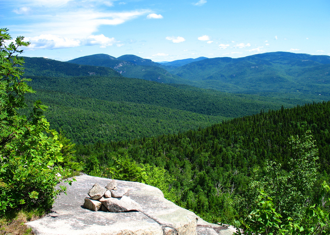
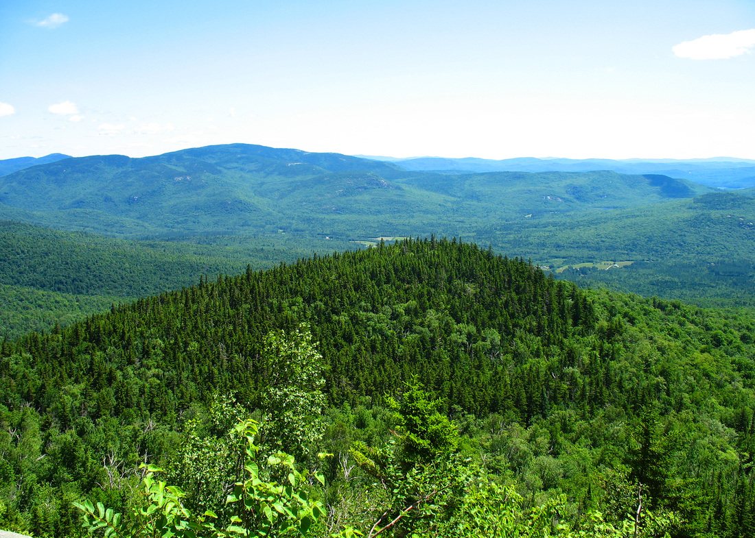
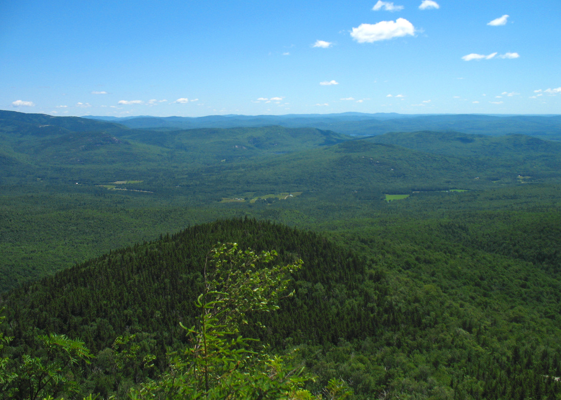
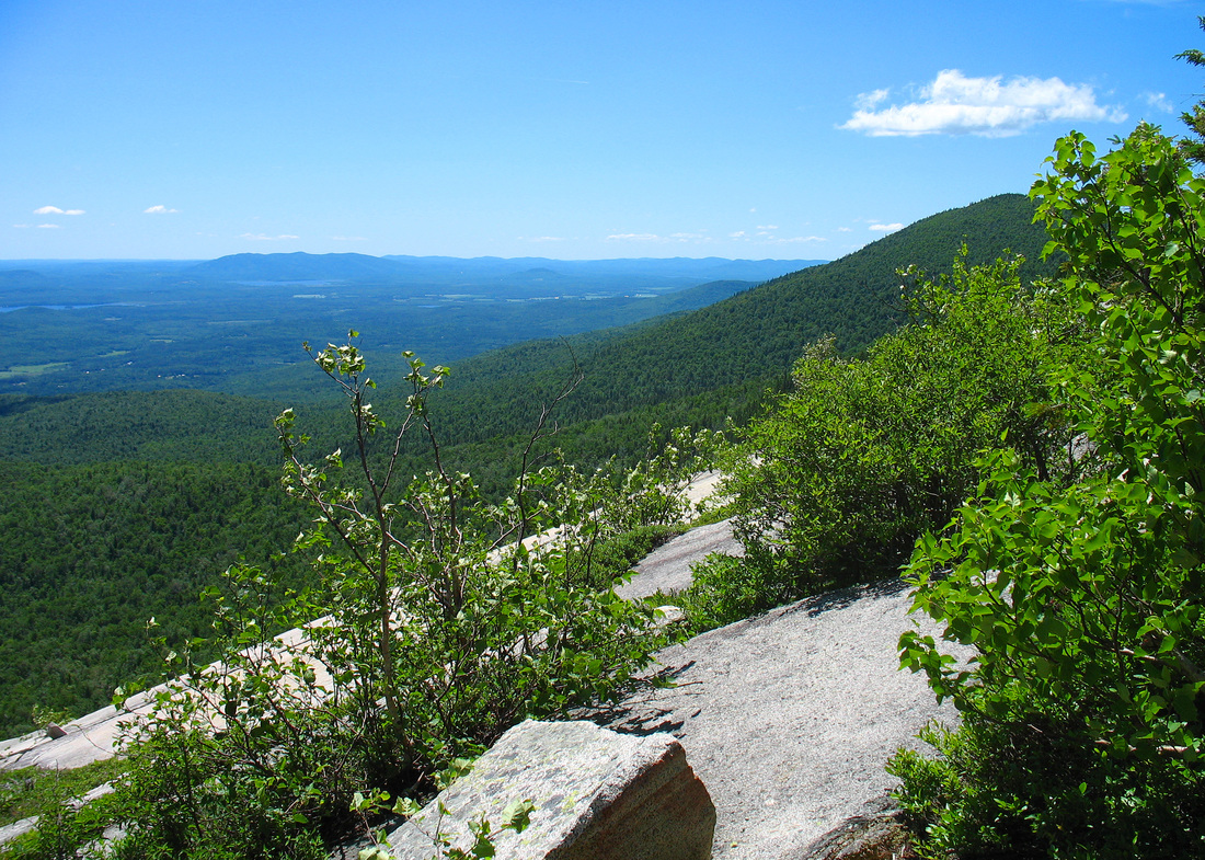
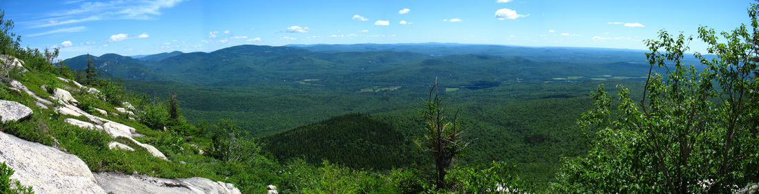
Panorama to the east
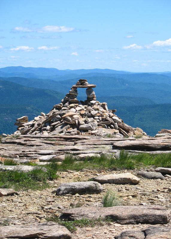
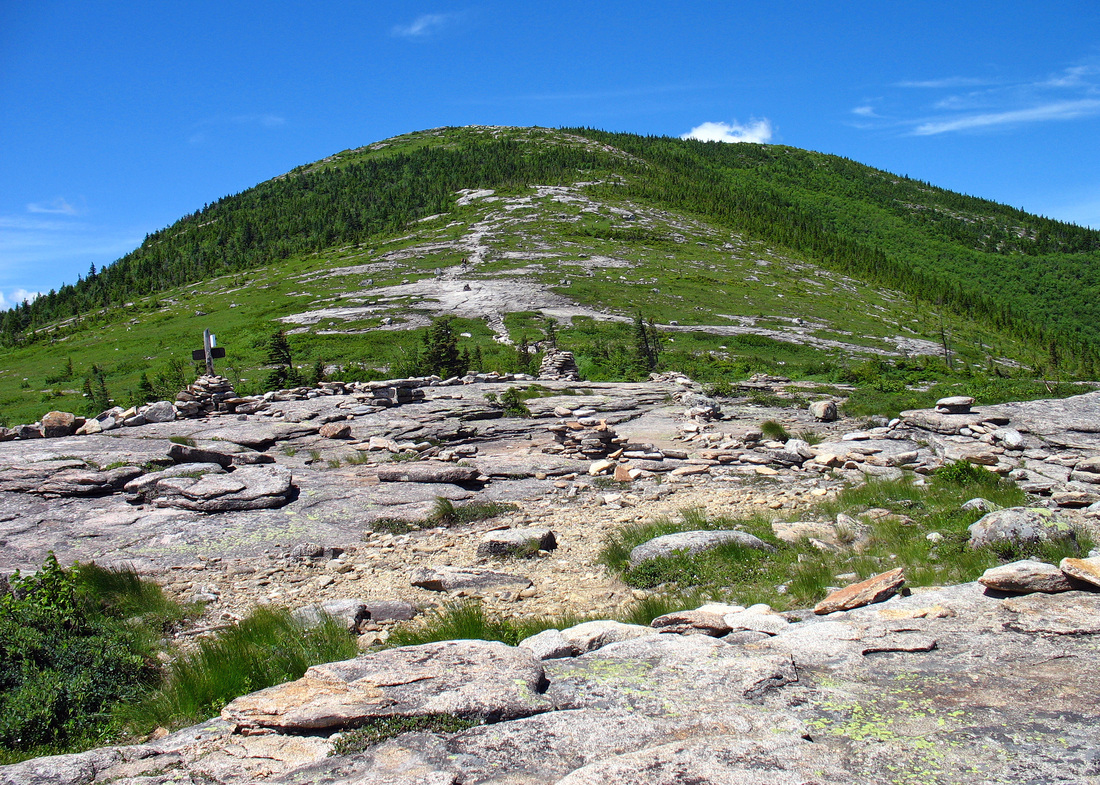
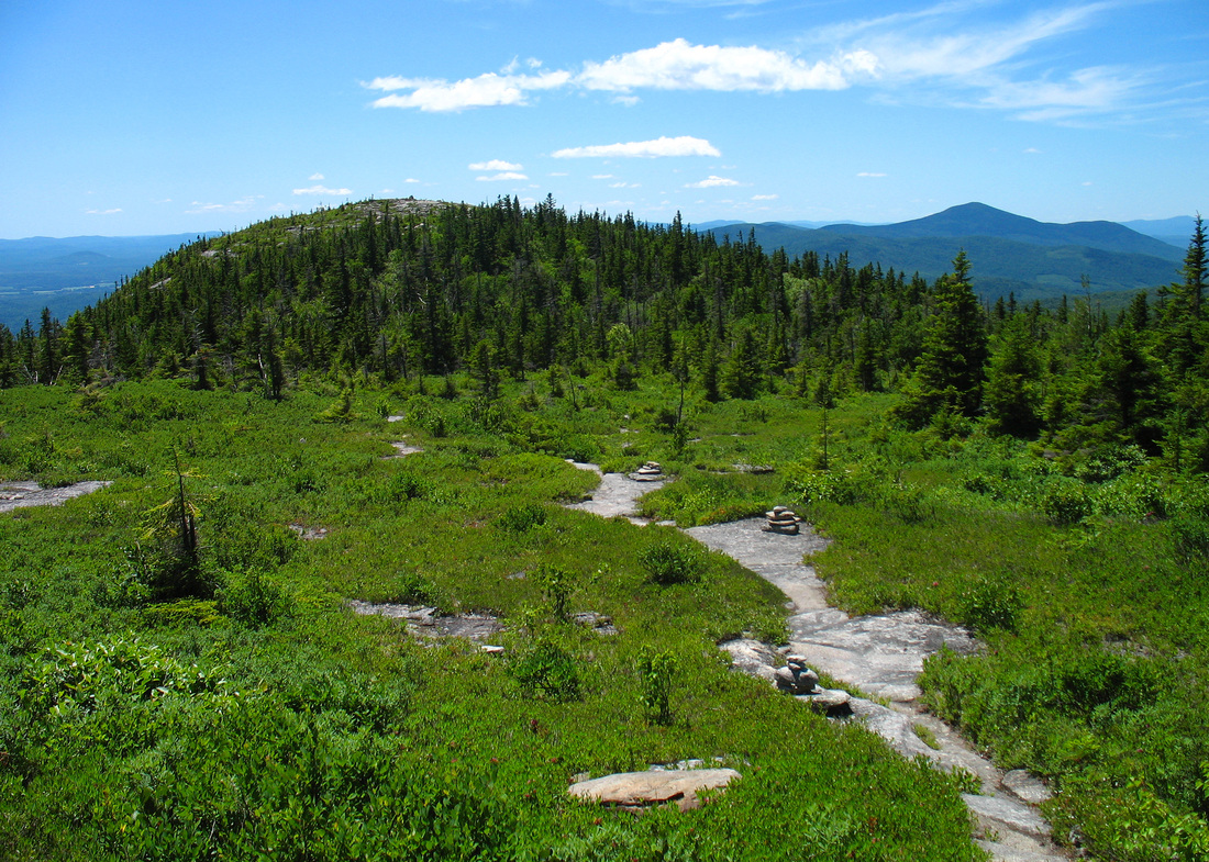
An interesting stone construction on the shoulder
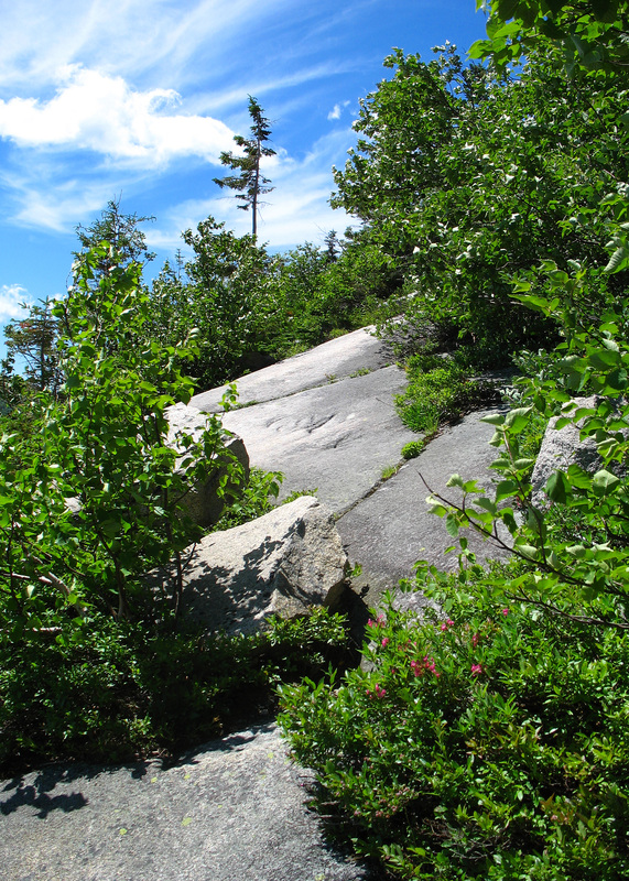
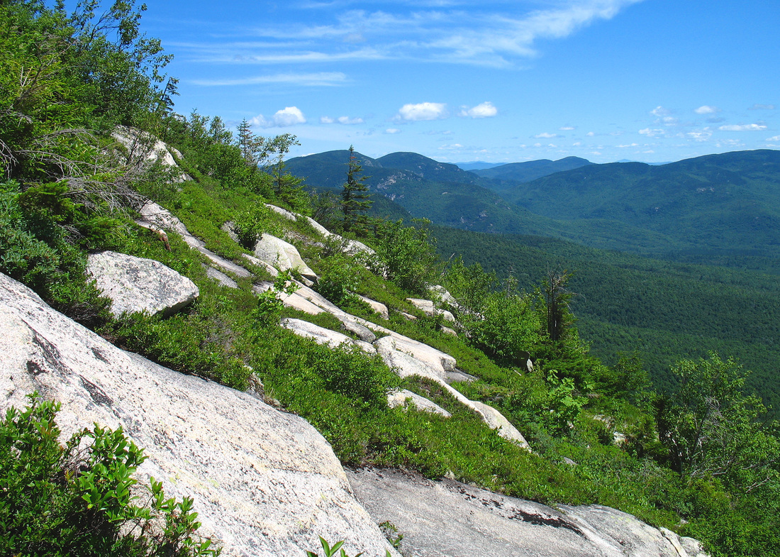
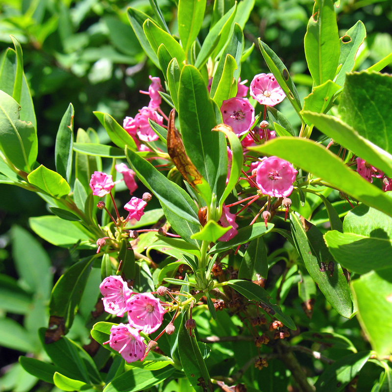
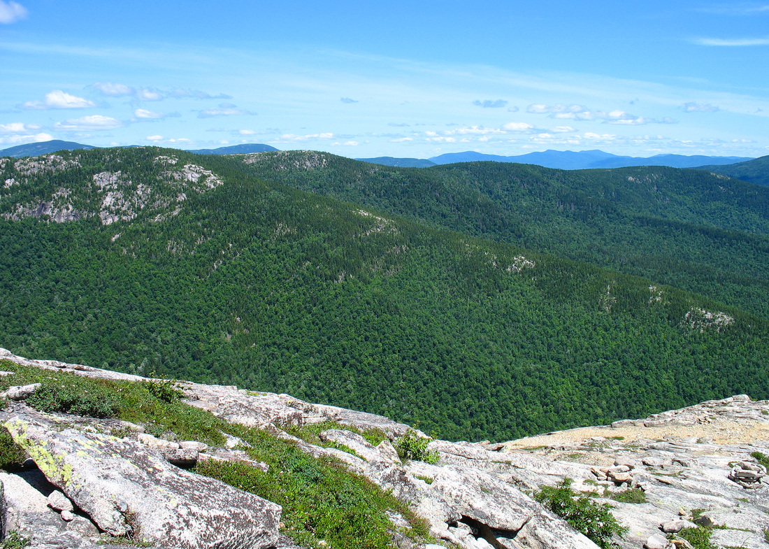
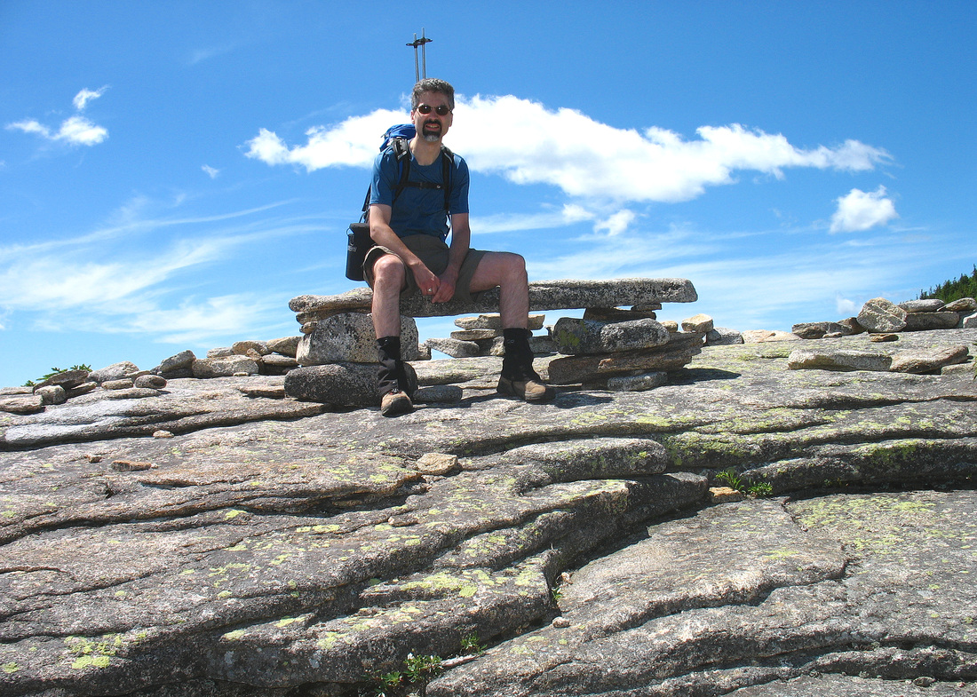
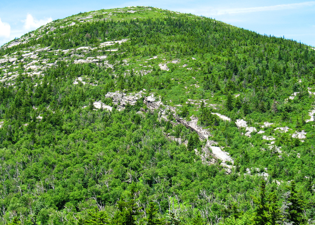
As we climbed the trees became fewer and fewer. We passed the occasional wildflower and a number of lovely bog laurel shrubs (Kalmia polifolia) which were in bloom. Finally we broke out in to the open and there was nothing to impede the wind. This made the steep ledges even more exciting as a gust would invariably come up as we were committed to placing a finger or toe on a tiny nubbin of rock and blow the extremity half a meter from anything remotely grippable. Once we gained the shoulder of the ridge there was no more climbing, just scooting along with tiny steps while ducking down in an effort to be less like a kite. When a gust came there was nothing for it but to drop quickly and grab onto the mountain in order to avoid being blown over. The progress up this particular bit of trail was something like scoot, scoot, stagger, scoot, trip, scoot, scoot, DROP and hang on, scoot... all while loose pack straps slapped violently at my neck and face, punishing me for some unknown sin. It was great fun. At last we arrived at our trail junction and relaxed a bit on a bench made out of stone and admired the other small stone structures that others had made there.
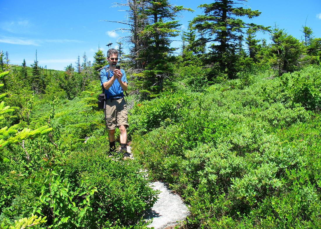
Kevin making a video of our hike
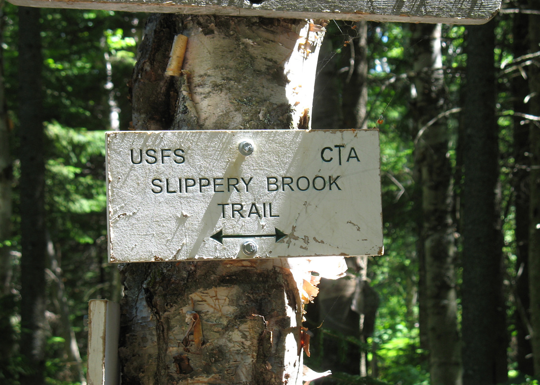
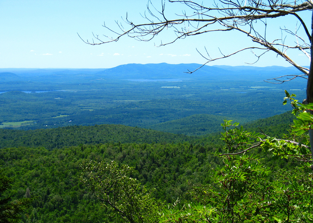
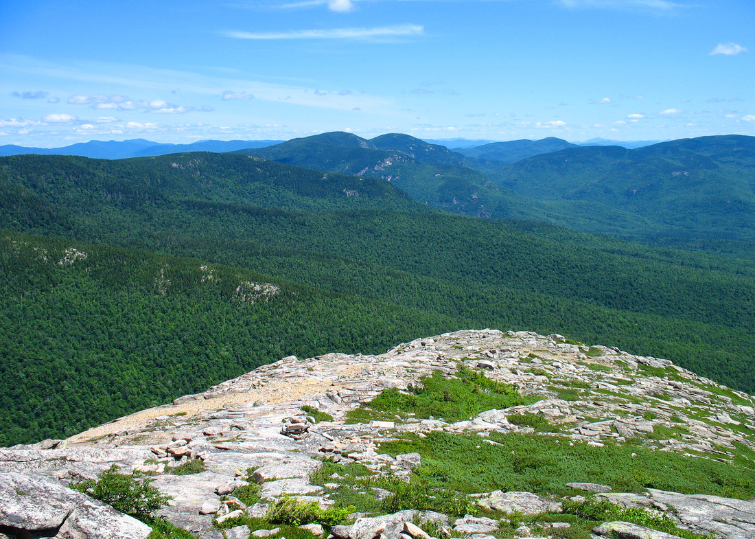
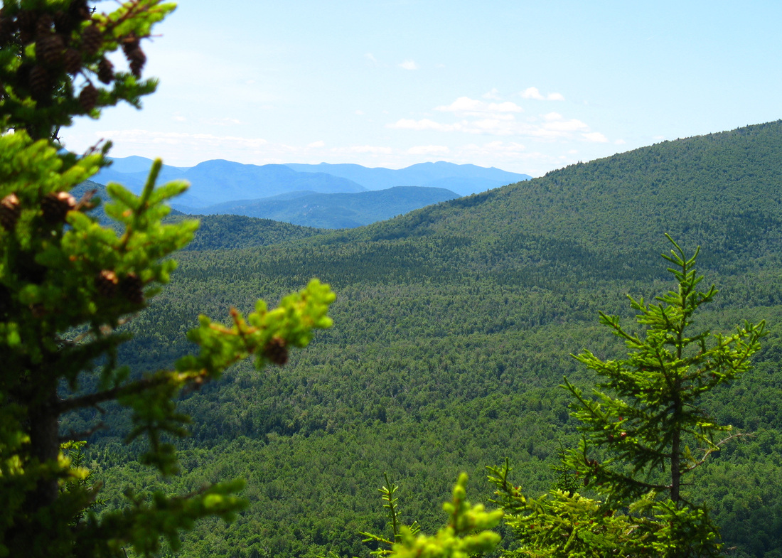
We decided not to summit South Baldface in winds that would surely increase with elevation so we headed south on the Baldface Knob Trail. Once we dropped over the height of the ridge we had been on the wind cut dramatically. The route over to the Knob was partially open, very scenic and because we were in a wind shadow we were able to focus our attention on our stunning surroundings instead of clinging to the mountain. We lost only a little elevation and had to regain only 100 feet to summit Baldface Knob. On its peak the wind was strong again but not as blustery as on the Baldface Circle Trail. The Knob afforded some great views including an interesting angle to South Baldface and a cliff that I didn’t know existed. We tucked ourselves out of the wind and ate lunch. As we did another couple came up the trail from the south having come up the way we would be heading down. I later realized they are posters on a hiking board that I read and go by “The Hikers”. The man pointed out what he thought was Mt. Agamenticus and wondered aloud whether we could see the Atlantic. I tried with my binoculars but couldn’t see it. The sun wasn’t really at the best angle for it. “The Hikers” had told us that their climb up to Baldface Knob had been steep and we agreed as we descended it. It was a charming trail, though, narrow and winding through a picturesque forest of spruce with yellow birch. Out of the wind it was warmer and we began to hear birds again In no time we arrived at the trail junction where the Slippery Brook Trail lead right to a road out of Jackson, NH or left to Rt 113. This would be our route down eventually but first we were headed straight along to visit Mt. Eastman.
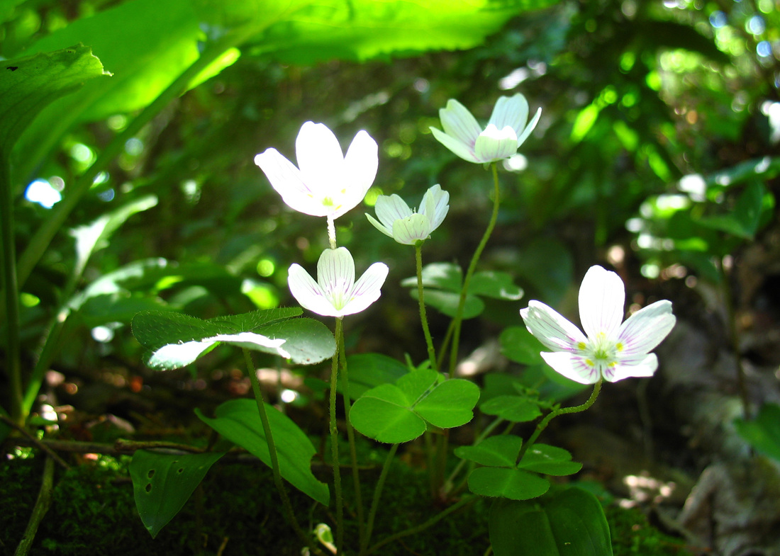
Wood sorrel
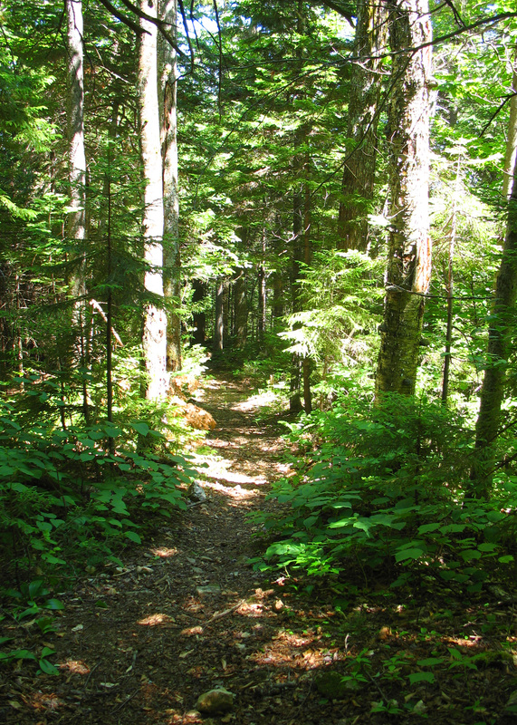
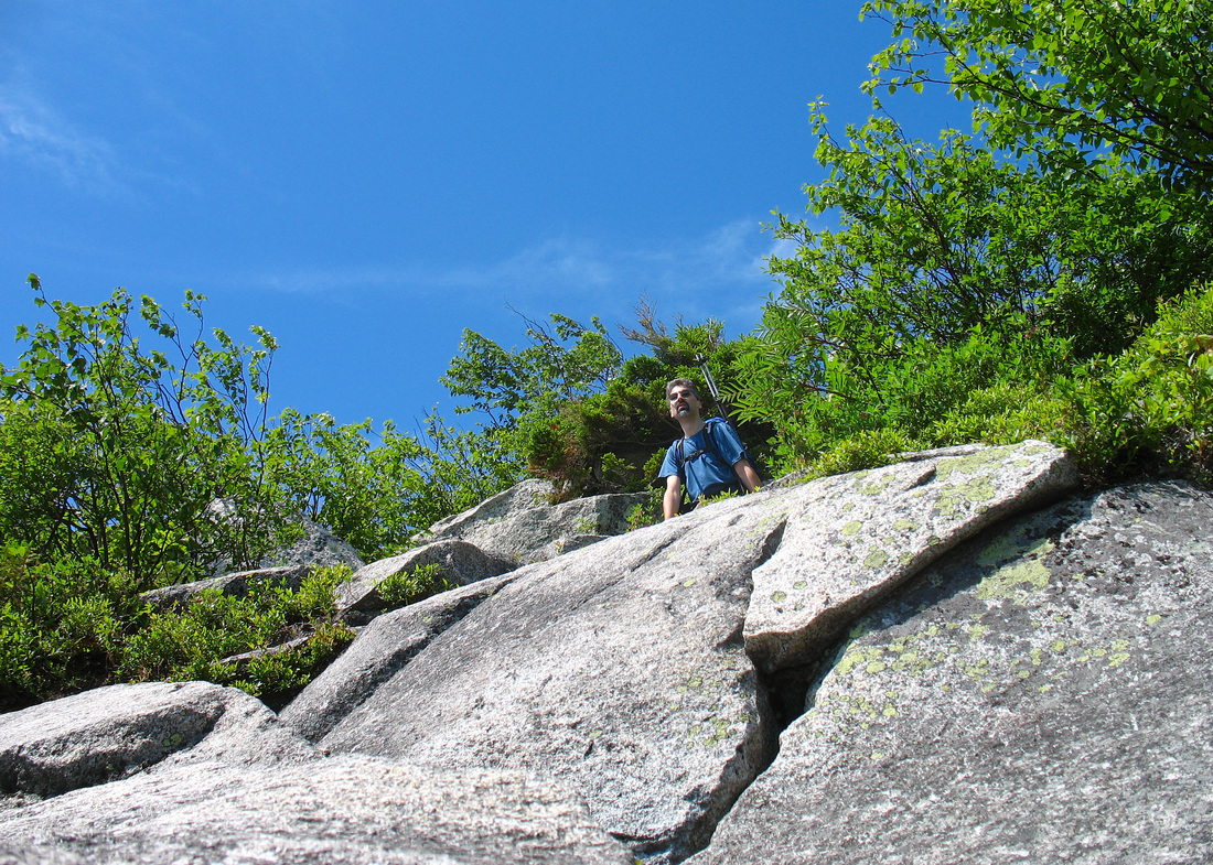
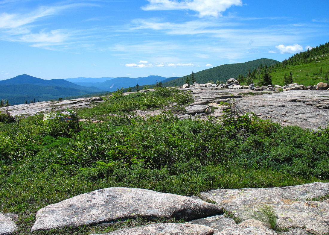
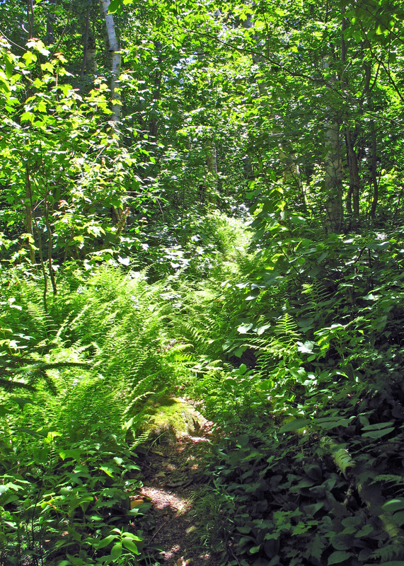
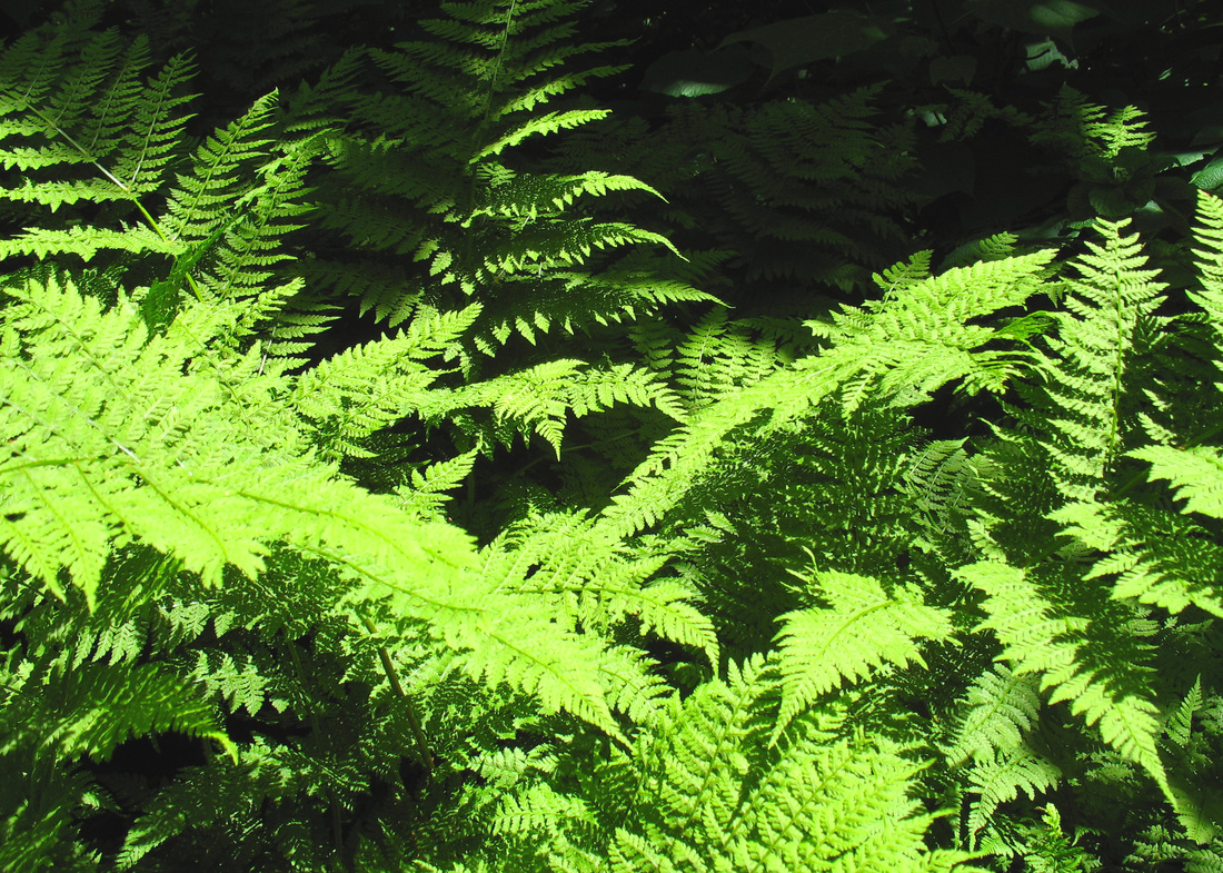
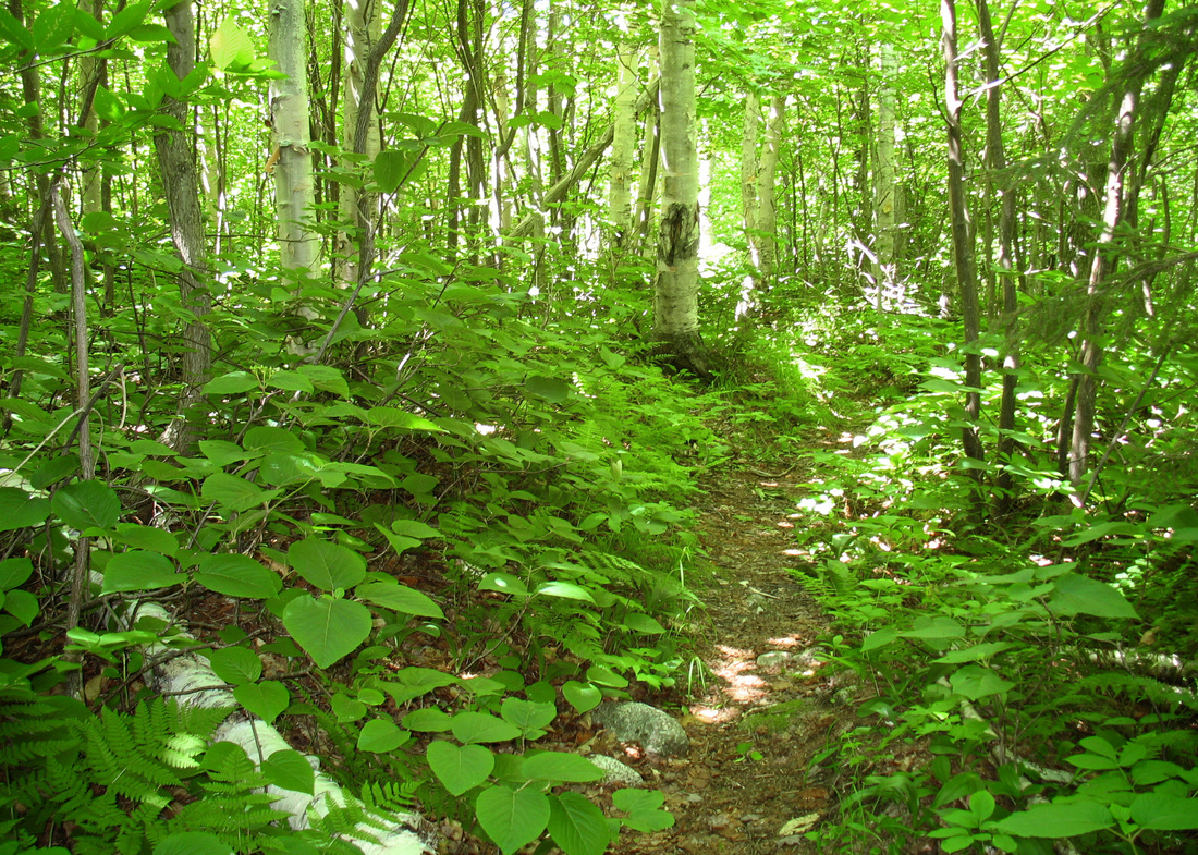
The ascent of Mt. Eastman was an easy 500-foot climb over almost a mile. The trail ambled through a predominantly birch woods with more conifers mixed in as we neared the top. It was not the open and airy birch woods that I encountered on my descent from Eagle Crag last week. Rather, this forest was denser and darker, more sheltering. Among the many ferns that carpeted this forest was a great deal of hobblebush. The trail doesn’t suffer many feet. It was very narrow and slightly overgrown. Underfoot we heard the crunching of small twigs and dry leaves instead of the scuff of our boots on gravel and cobbles that followed us on the Baldface Circle Trail in the morning. Although the climb wasn’t taxing the lack of wind here and the heat of the day made for a very hot climb. The sun-baked spruce and fir gave off a heady Christmastime scent as we gained elevation. We were happy to finally emerge from the woods onto the partly open summit ledges which allowed a light breeze to cool us. The thin population of trees gave the summit a greater sense of seclusion than I get on a wide open peak. Although a full 360o view wasn’t possible from Eastman Mountain it was easy to look in all directions by simply moving to other parts of the small summit. We spent some time here taking pictures, and eating again before heading back down. On our descent we paused on a ledge where a white throated sparrow was flitting about very nearby in a tree. We watched him for several minutes and I hoped he would sing but he only hopped from one branch to the next issuing scolding calls until at last we left him to his business.
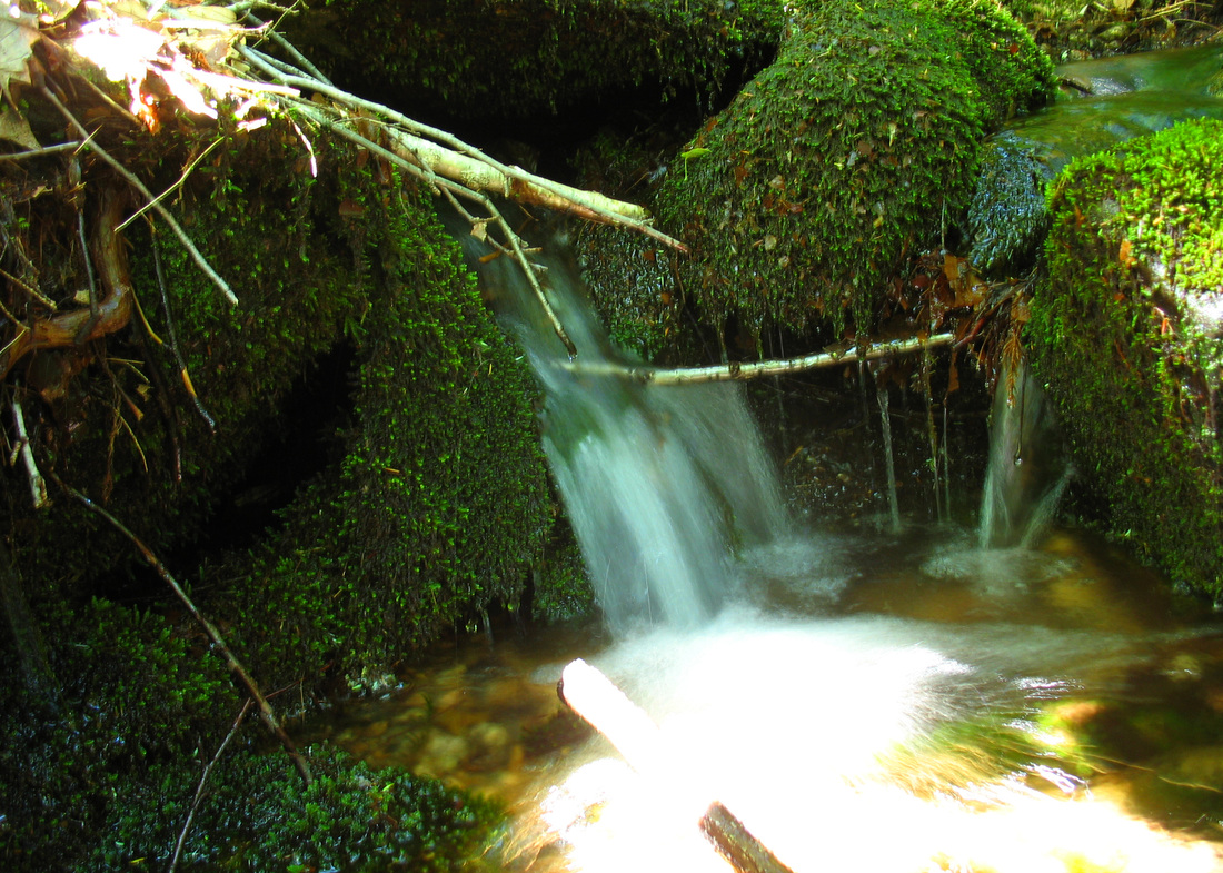
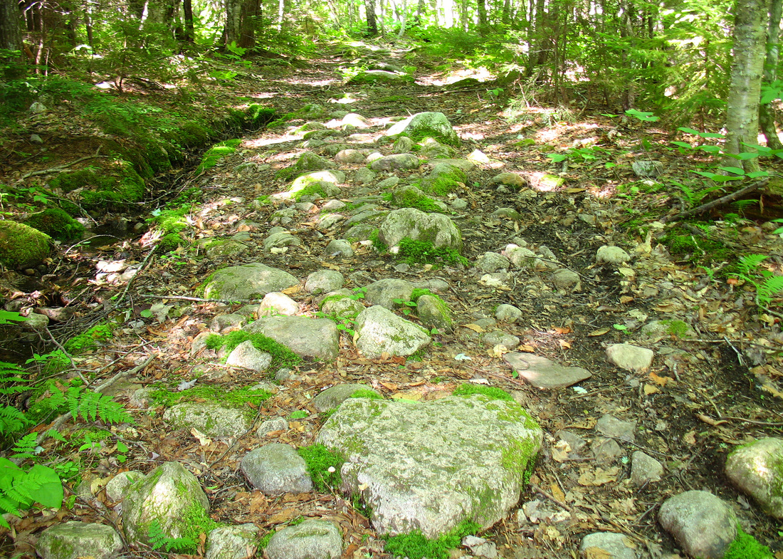
Back at the four-way junction we turned east to begin our final leg of the trip. The Slippery Brook Trail took us east along a shallow ravine. It looked like it should have had a stream in it but it was dry. Eventually we did come to a brook in a forest of hemlock trees. We crossed the tiny stream several times on our way down and eventually left it behind as our path turned northward. We met the Baldface Circle Trail about a mile from Rt 113 and followed it back to the road.