09 August 2004 Mts Webster and Jackson, New Hampshire
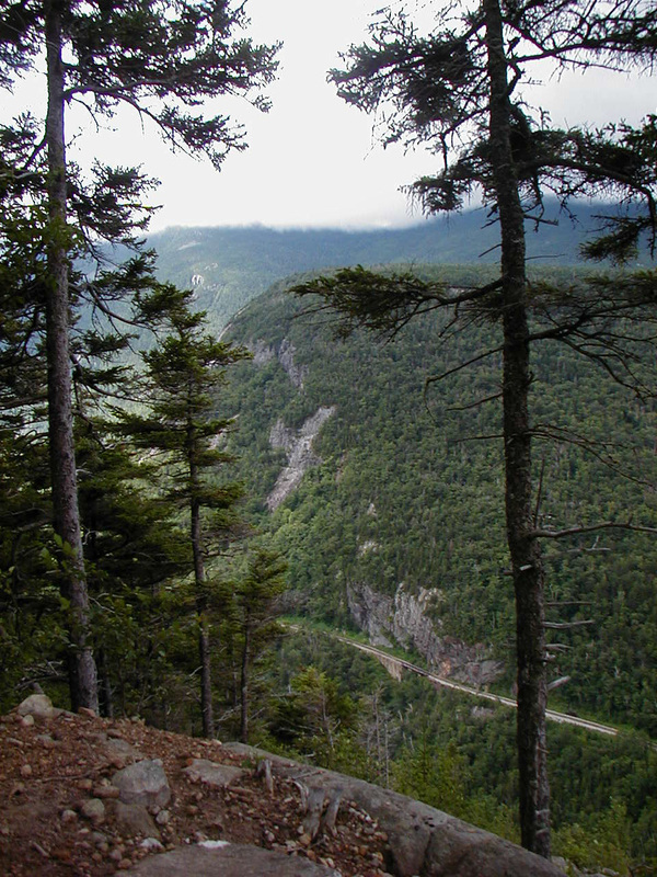
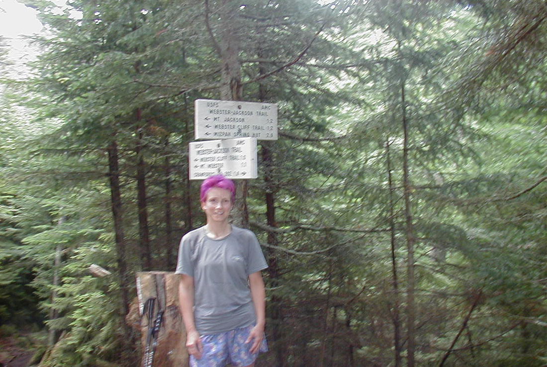
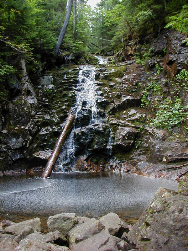
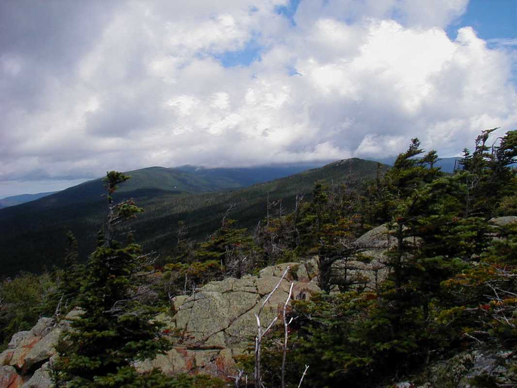
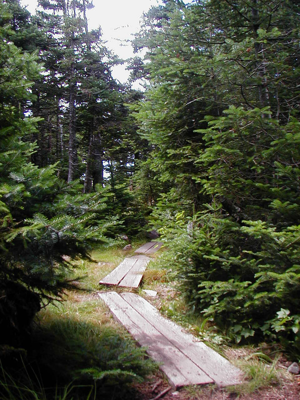
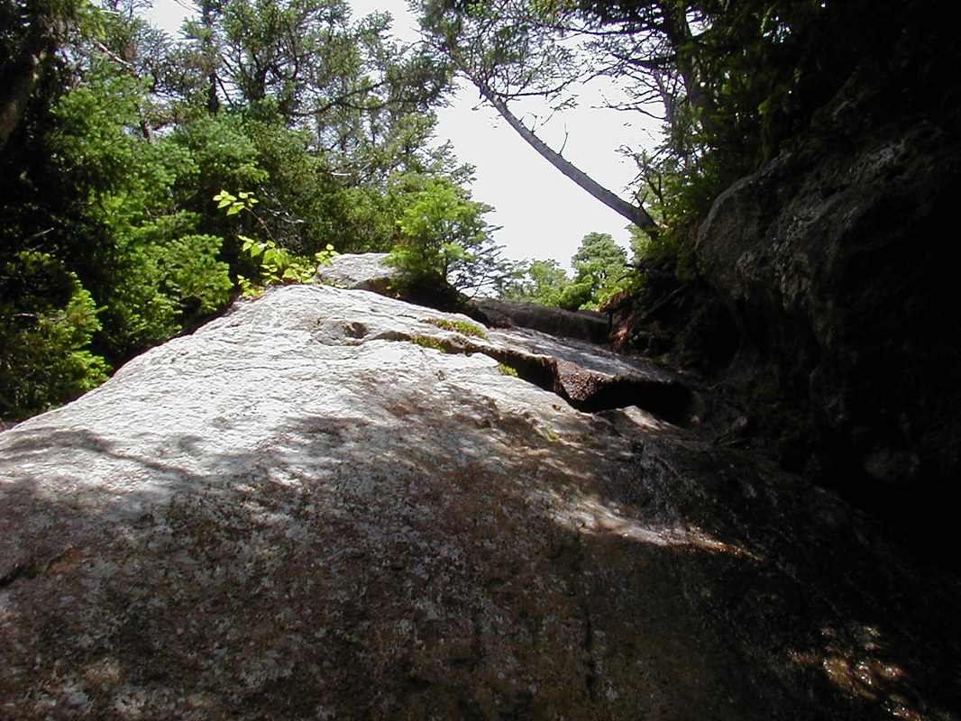
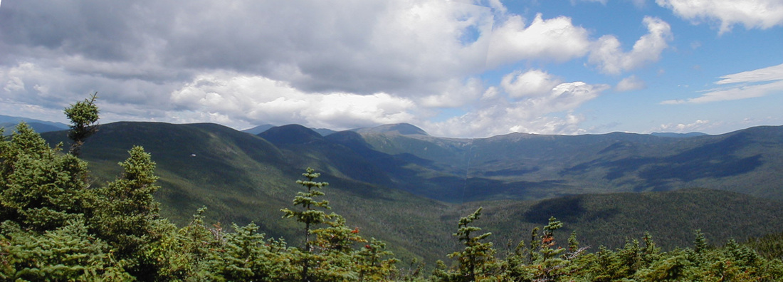
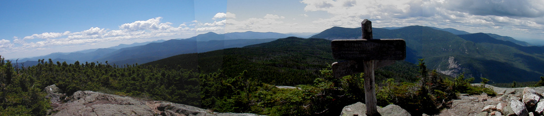
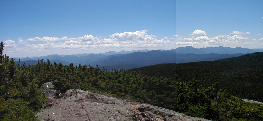
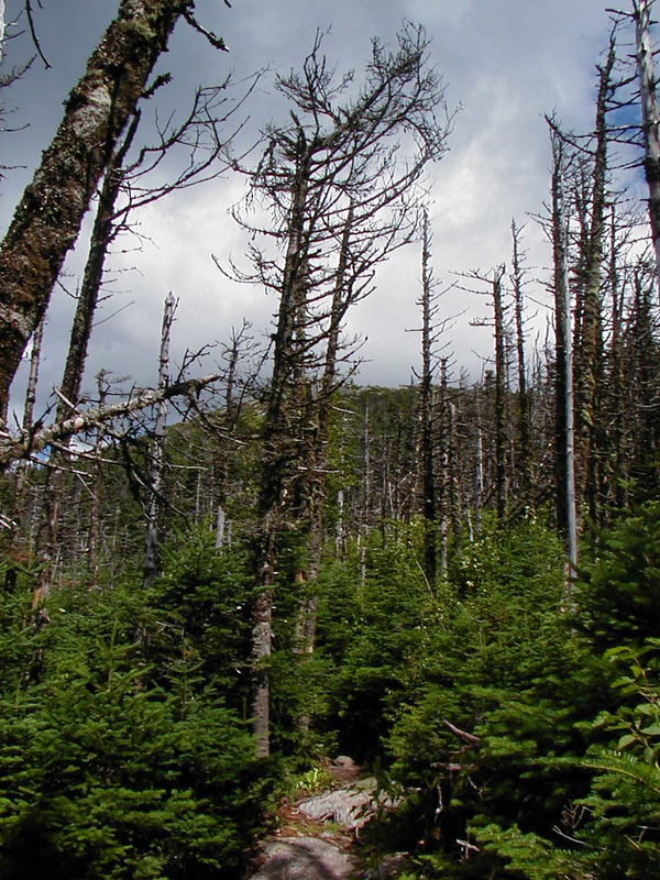
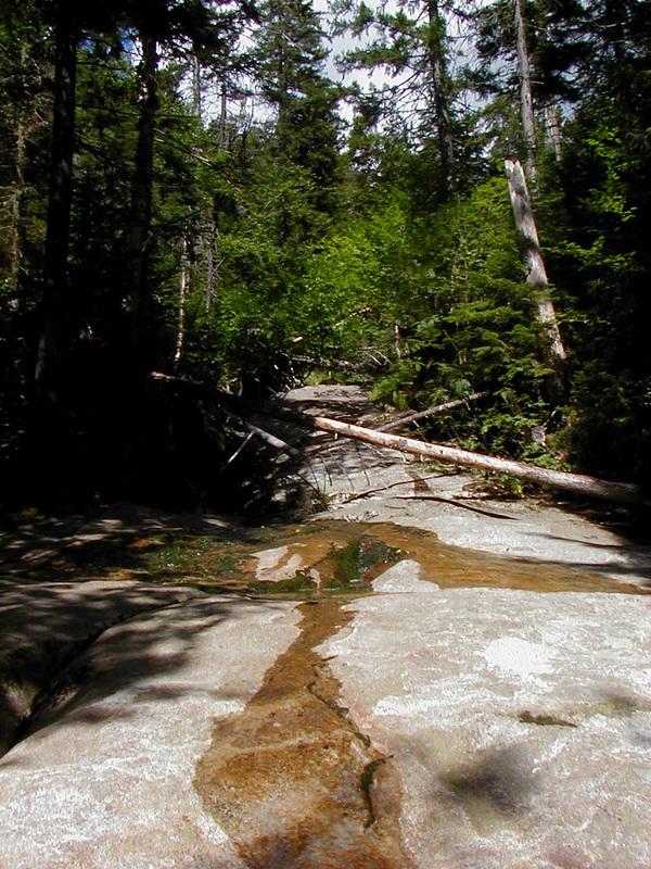
The forecast was for spectacular weather so I chose a hike that would get me up high for a while with good views. The Webster-Jackson Trail loops over two high summits on a southerly ridge of Mt. Washington. Washington, of course, has its own opinions about the weather and enforces them on any unsuspecting hikers that happen to be nearby, like me. The sky that had been blue and sunny for most of my drive to the trailhead turned dark and hung low by the time I hit the trail. A half mile in, at Bugle Ledge, the situation had not improved. Hoping it would burn off or blow away I continued up. Before too long I reached the junction where the Webster-Jackson Trail splits, one arm going up Mt. Webster, the other leading to Jackson. There I met three small boys who had hiked over the ridge that morning with their dad and grampy. They confirmed that, in fact, it was cloudy up high. Up on Jackson, they said, you couldn't see anything. I felt an encouraging breeze begin, though, and so hiked on. The Webster branch begins by plummeting into a small ravine and crossing a brook just below Silver Cascade. This would make a lovely place to cool off on a hot day. I then un-plummeted up the other side of the ravine. After leaving the ravine the trail moderated only slightly, and the mile from the junction up to the ridge took longer than the 1.5 miles up to the junction. In an hour I gained the ridge where the Webster Cliff Trail (coincident with the Appalachian Trail) connects the two branches of my Webster-Jackson Trail. The breeze that began down below had deveIoped into a healthy, cloud-clearing 25-30 mph wind. I turned right for the 0.1-mile jaunt up to the top of Mt. Webster to take a look around. Jackson was out of the clouds as well as Mt. Pierce behind it. The rest of the Presidentials were still enveloped by clouds. I swallowed some water and got back on the trail for the 1.5 mile ridgewalk to Jackson. I descended a bit from Webster, then the trail rolled easily along the ridge. There were many wet areas that the trail crossed on puncheon. In between these wet areas were short little climbs that kept tricking me into thinking I was on my way up to the summit of Jackson. No sooner would I start to get excited about making the top than I would be dropping back down to cross more puncheon. So the hike went on...little ups...little downs...little bridges. When the final ascent of Mt. Jackson's summit finally began it did so unambiguously. I chucked my hiking poles up ahead of me so I would have full use of my hands for the scramble up to the top. After a few more steep ledges I had gained the summit. I found a spot out of the wind that was being vacated by some other hikers, claimed it for my dining area, and settled in for lunch. The rock I chose came complete with a back, a seat, a footrest, and a view north to high peaks of the Presidentials which had shed the last of their clouds. After devouring my lunch I shot a panorama to the south, found my trail, and started down. The descent off the summit cone was nearly as steep as the climb. The steep stuff didn't last long though, and once on easier terrain I turned around to get a last look at Jackson. When I had visited in winter with Kevin a couple years before I had taken a similar shot. A while later I met another family of Boreal Chickadees. Their group also included a few Black-Capped birds. About a mile from the trailhead Flume Cascade Brook is crossed just above where it runs over a nearly flat ledge. I walked downstream a bit to splash some water on my face before finishing the hike. About a half hour later I was at the car changing out of my boots.