Monday, 18 October 2004
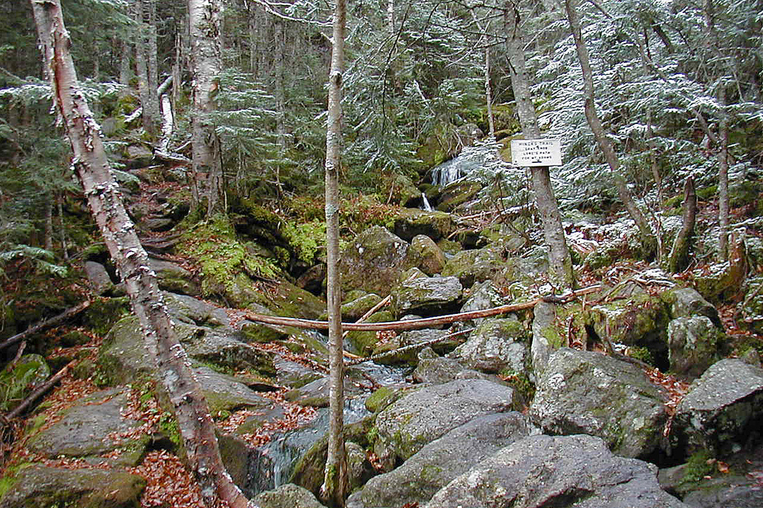
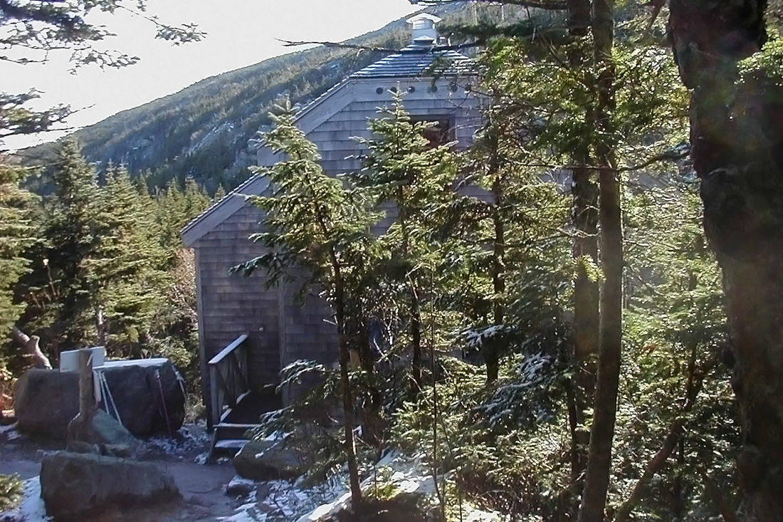
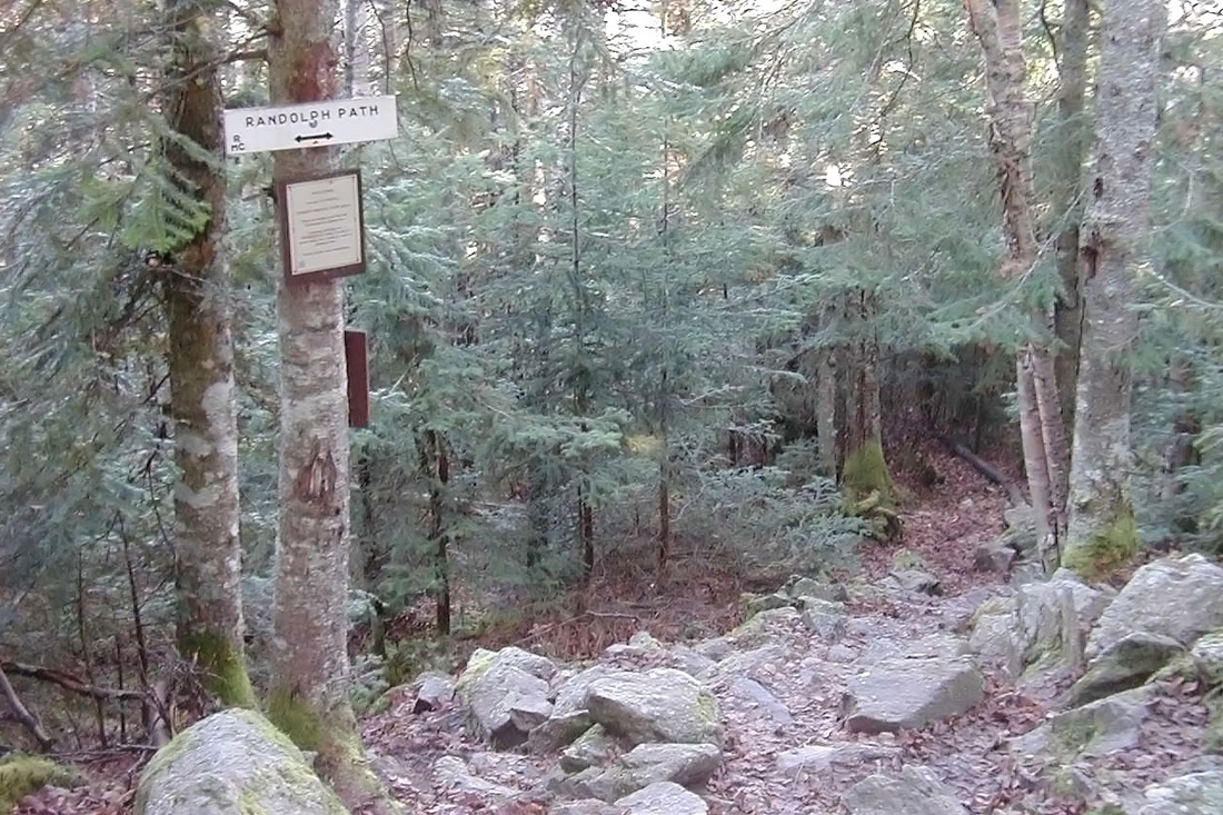
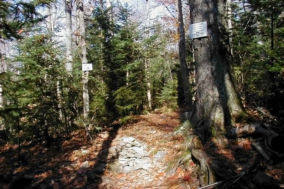
Following Fall Parents' Weekend at school we were given a precious 3 days off. Just to be sure that I couldn't be called in for some foolish meeting or other time-wasting activity I ran away to a place with no phones or electricity; a place that most of the lard-a**ed administrators at my school couldn't get to if their lives depended on it; a place they likely don't even know exists; a place where gather other like-minded refugees from the so-called "real world"; a place called Gray Knob Cabin. The cabin sits about 1000 ft below the summit of Mt. Adams and can be reached by any number of trails built and maintained by the Randolph Mountain Club (who also is responsible for the cabin). I headed out this morning with a full pack minus my tent. Parking at Appalachia on Rt 2 I set out on the Amphibrach Trail. From the beginning it corresponds with the Link trail. More about that later. After just under a mile Memorial Bridge over Cold Brook is crossed, the Amphibrach swings southward (upstream) and leaves the Link to continue westward. I had been climbing very gradually but now began to climb more noticeably (although still easily). After about 2.5 miles I arrived at the Pentadoi, a junction where the Amphibrach meets the Randolph Path and the King Ravine Trail. By now it had grown definitely colder and more like late fall. A short jaunt along the Randolph Path brought me to the start of the Spur Trail at a crossing of Spur Brook. The real climbing began here. Up I went, passing a little cascade glimpsed through the trees until I came to the lower end of the Hincks Trail which diverged to the right as did I. By now winter was starting to emerge and thin snow dusted the ground and branches. As I climbed up the steep and increasingly snowy trail I remembered my last (and until now, only) trip up the Hincks trail. It was deep in winter and the snow was deep as well. The trail hadn't been hiked yet that season and so I broke the way through a good 4+ feet of snow with a fully loaded winter pack that tipped the scales at at least 50 pounds. On this steep section I'd measured my speed in hours per mile (2-3), not miles per hour. My muscles nearly failed but I managed not to collapse and eventually reached the cabin. Today I was not sorry that the snow was only a couple inches deep. On that winter day it took me nearly 7 hours to make it to the cabin. Today, on the same route but without snow, it took a little over 3. I entered the cabin, met the caretaker, and headed upstairs to claim some real estate and change into dry clothes. I hiked over to the spring and filled a water jug to carry back. Hot cocoa, hot tea, and a hot meal ensued. I headed up to bed early for some quality hibernation.
Tuesday, 19 October 2004
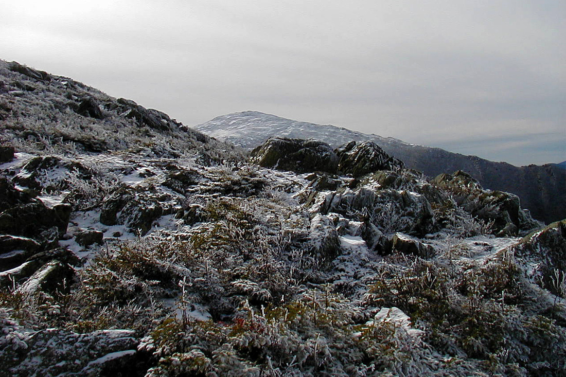
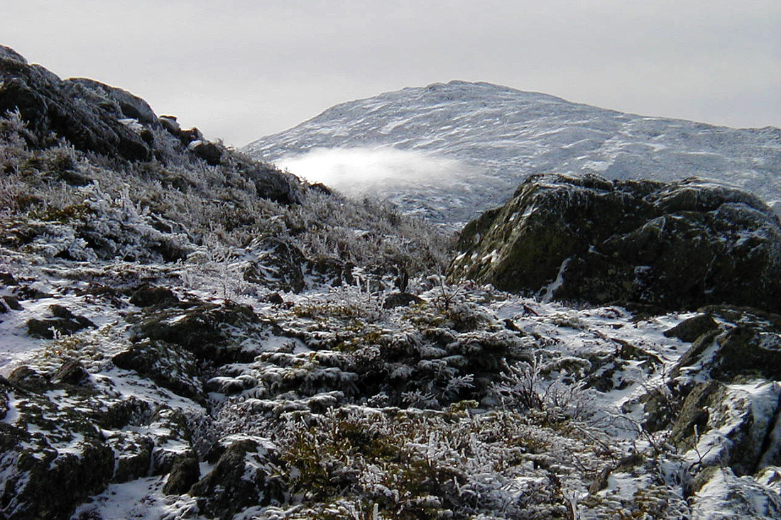
Icy northern Presidentials
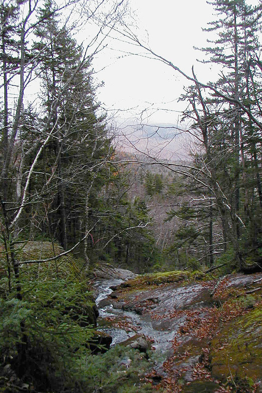
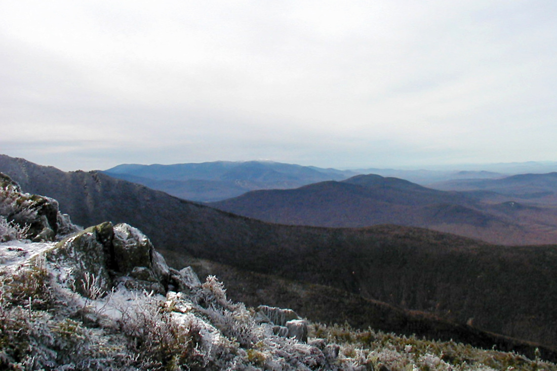
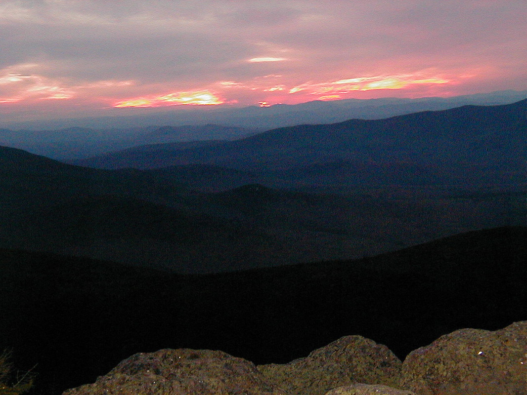
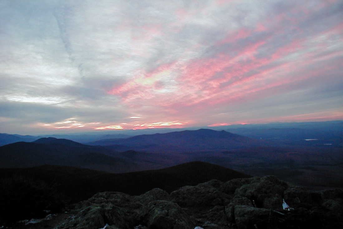
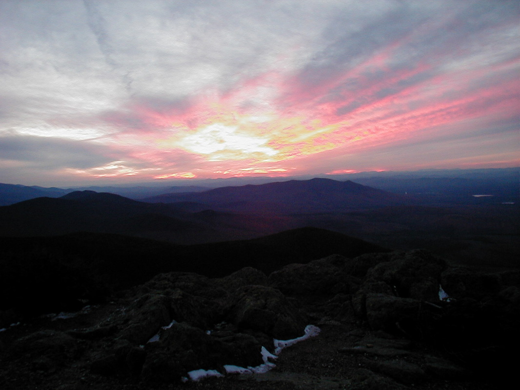
I awoke reasonably early, dressed, and headed downstairs to cook some water for oatmeal and tea. I loaded my pack for what I hoped would be a dayhike up to the summit of Mt. Adams. I set out under spectacular sunshine, clear skies, and light wind. The trees were clothed in rime ice but the trail was dry until I cleared treeline. The rocks were coated with thin snow that sometimes concealed ice. I carefully picked my way up but eventually the trail was too icy to continue alone. I retreated a bit to a comfortable rock for sitting in the sun. The views were spectacular but clouds were rapidly developing as ice and snow sublimated in the warmth. To the west, over Adams' shoulder I could see the Castle Ridge of Jefferson. In the distance beyond the Castle Ridge I could see the Franconia Ridge. In front of Jefferson there was a bit of cloud creeping over Edmand's Col from the Great Gulf. To my south rose Adams, whose summit was obscured by its own shoulder. After some time I tried again to climb and got further but eventually found the way to be too icy. I headed back down to the camp, ate some lunch, and took another little walk in the afternoon. The semi-clear sky persisted through the afternoon and I thought we might get a good sunset from the Quay, an outlook only about a minute away from the cabin. I cooked an early supper and headed over for the show which was worth the trip. As I watched the sky evolve I could hear men coming up Lowe's Path, which is the usual route to Gray Knob and which passes directly over the Quay. They gained the outcrop just in time for the last bit of sunset. They were staying at Gray Knob that night and, being Duck Tour operators from Boston, made for entertaining company. Over hot tea and cold beer we chatted and listened to the Red Sox win Game 5 over the Yankees in the ALCS.
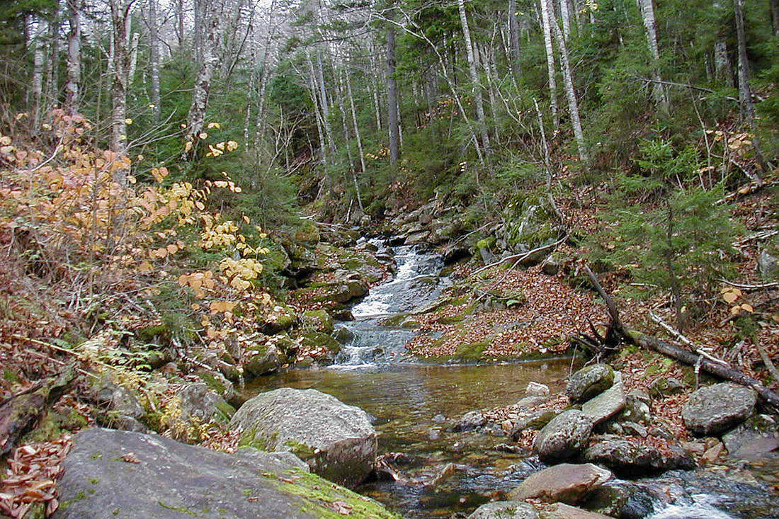
Wednesday, 20 October 2004
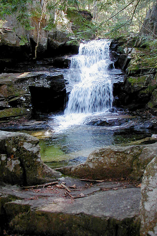
Cascade on Cold Brook
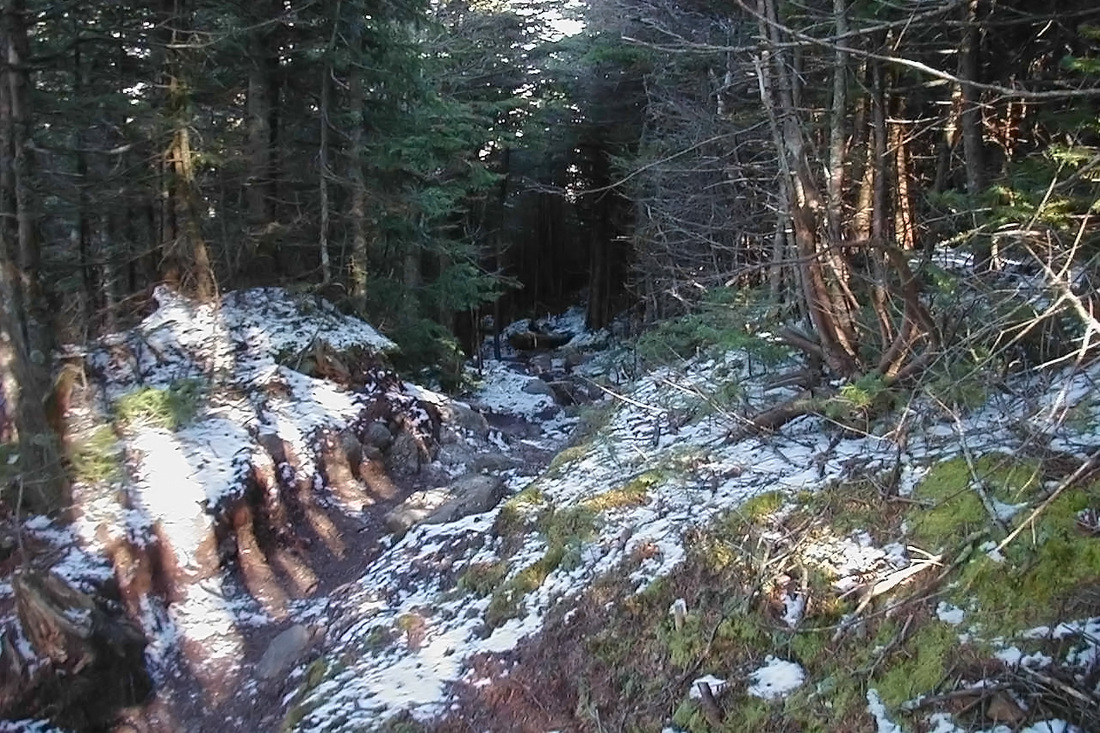
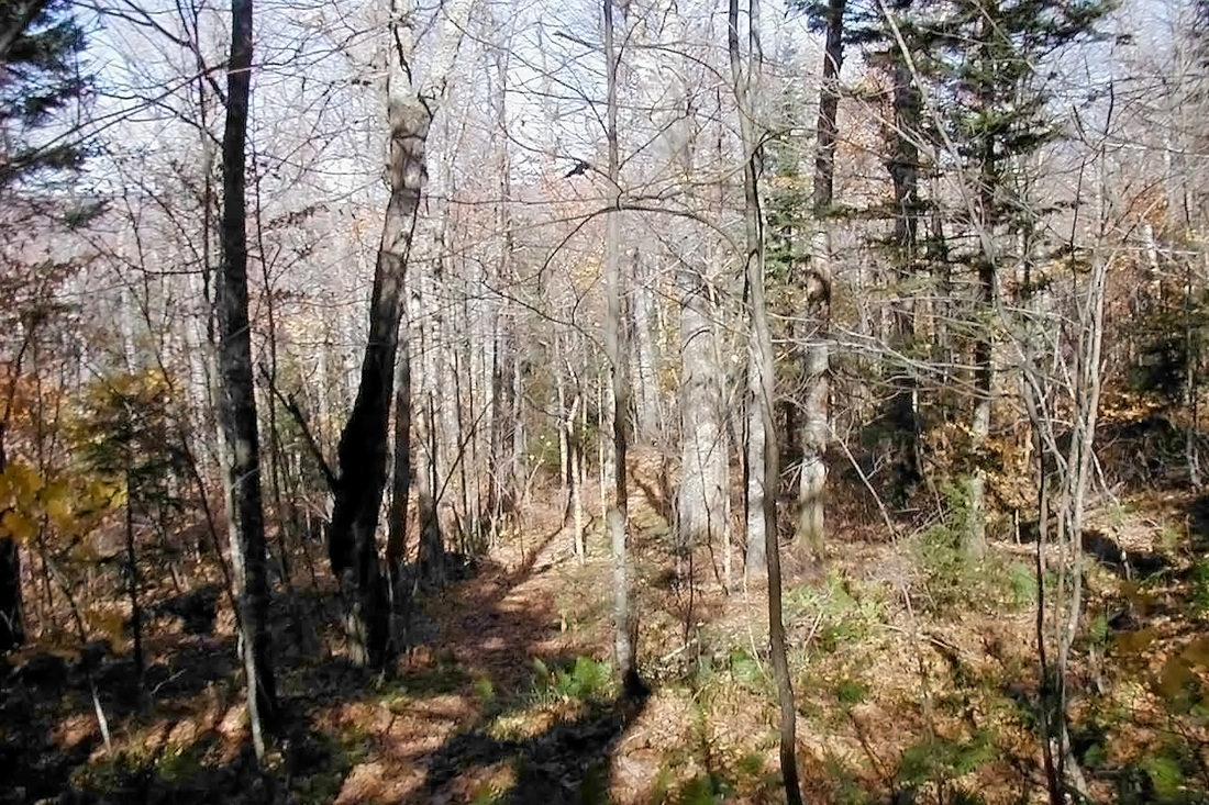
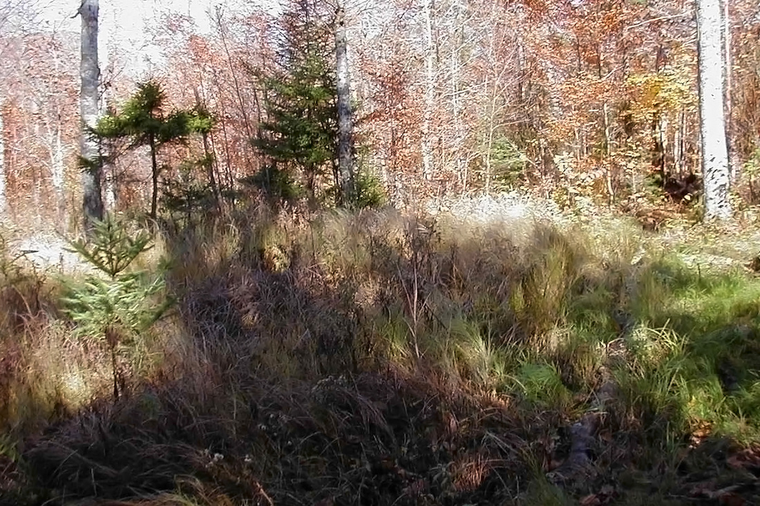
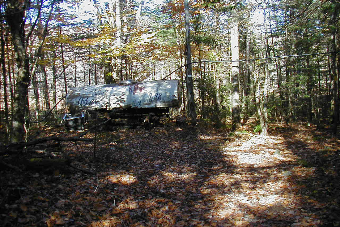
The next morning the guys headed up Adams but I was headed down. After a parting glance at the cabin I made for the Quay and Lowe's Path. I made a note to myself not to descend Lowe's Path ever again unless it is fully snow-covered and cramponable. The steep bare ledge was (and is always) slippery where dry and treacherous where wet and icy. The 1.5 knee-jarring miles down from Gray Knob to where the grade eases took about 2.5 hours. On the way I crossed the Randolph Path again, about 0.8 miles west of where I'd crossed it on Monday. I considered taking it but decided that it's leaf-covered rocky treadway (and still considerable elevation change) made it a no-less-difficult alternative. Instead I relieved myself on the Randolph Path and continued down Lowe's to the much maligned Link. I've heard many hateful things said about the Link. It doesn't actually go anywhere...it just sort of wanders along the north side of the northern Presidentials doing just what its name says...linking other trails together. It doesn't go to a summit or cabin although it gradually climbs and comes somewhat near the summit of Jefferson (okay, it misses the summit by a mile and a half...) It is mostly very lightly traveled. It has difficult footing in places (because it is lightly traveled) and can be hard to follow (also because it is lightly traveled). I am the Link Fan Club. I've walked 5.2 miles of its 7.6 mile length and loved every step of it. I turned right (eastward) onto the Link to take me back to Appalachia. This section of the Link was new to me and would not disappoint. It carried me first through some lovely open woods where I thought I might see some large wildlife but had to be content with some birds and many squirrels. A while later I came to a section where moss covered the rocks on and near the trail. On more heavily used paths all the moss would have been long worn away. This is why I'm a defender of the Link. Later still the Link took me through an interesting open grassy area whose origin I didn't know. From here there were some very wet areas along an old woods road and soon I was reunited with the Amphibrach. I took a short side path to a small cascade on the Cold Brook that I'd passed by on my way up. Now retracing my steps I followed the Link/Amphibrach back to the car park on Rt 2. I stopped to check out a sugar operation that will probably be producing again in the spring. I don't know whose sugar bush I walked through but would like to find out and sample some of their product.