09 April 2006
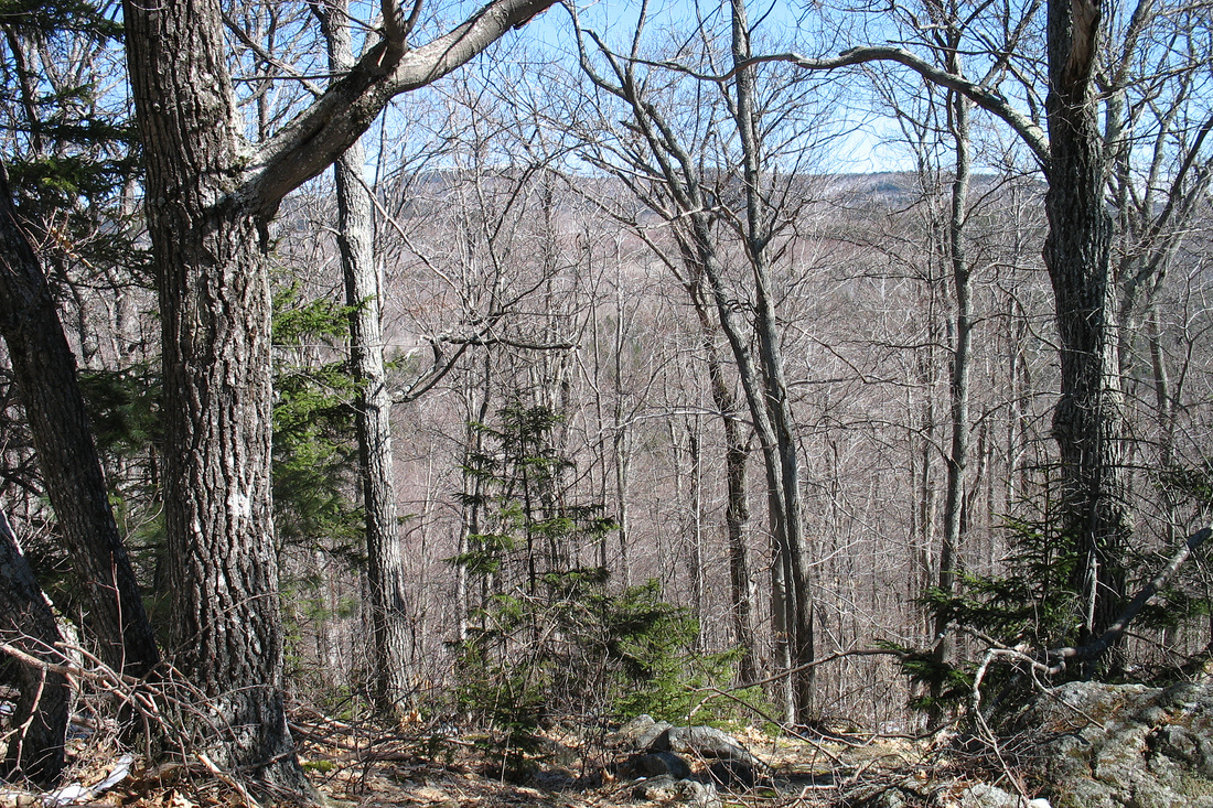
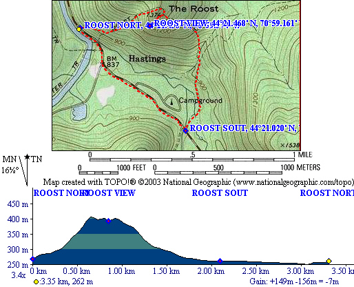
View over the Wild River from the relo
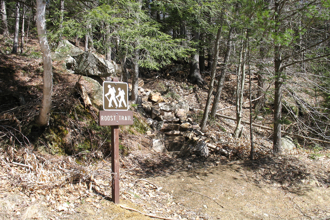
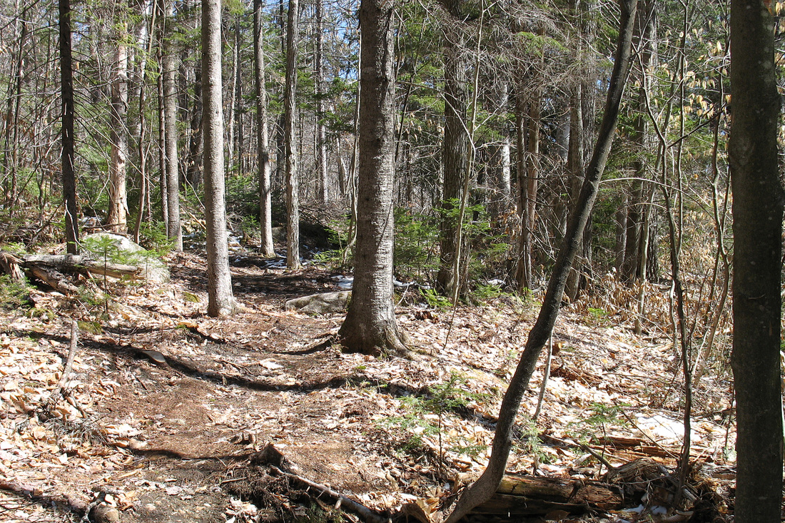
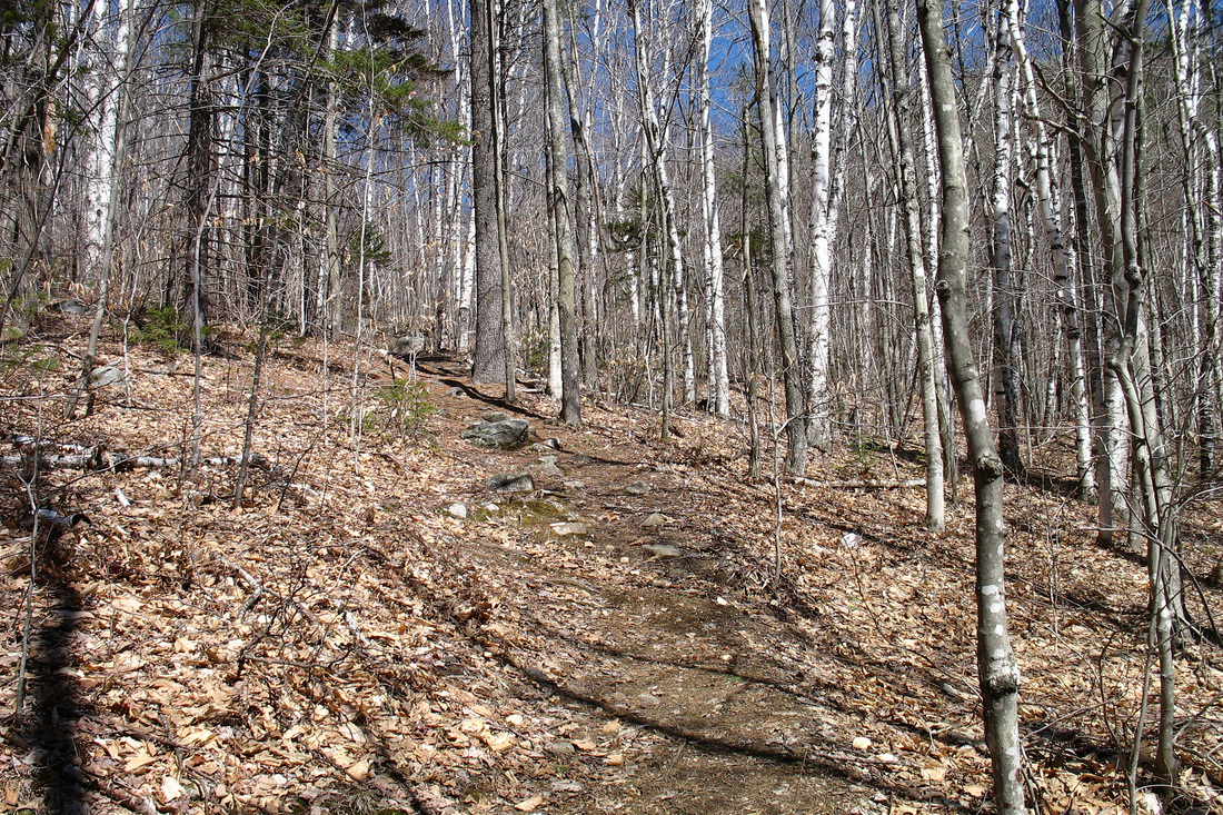
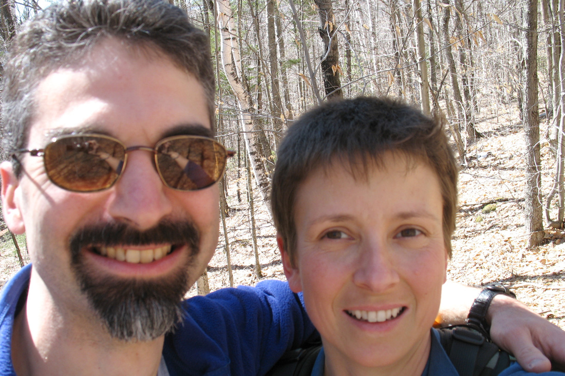
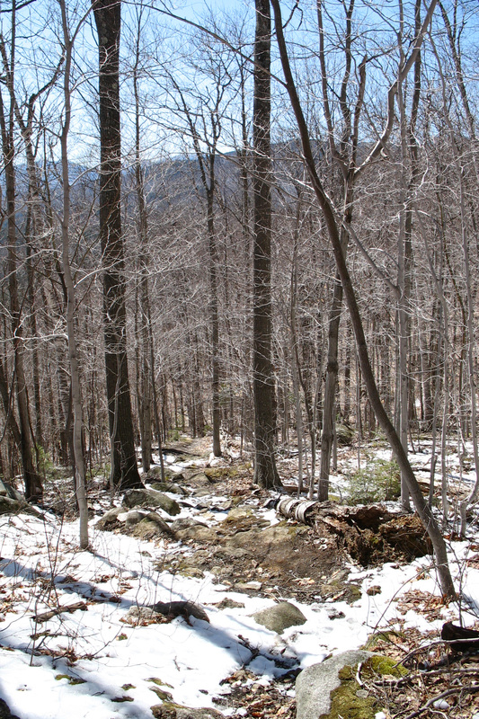
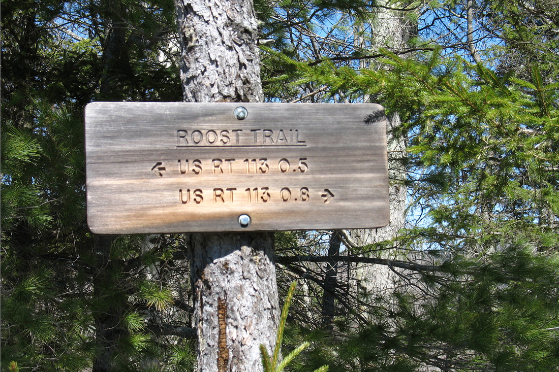
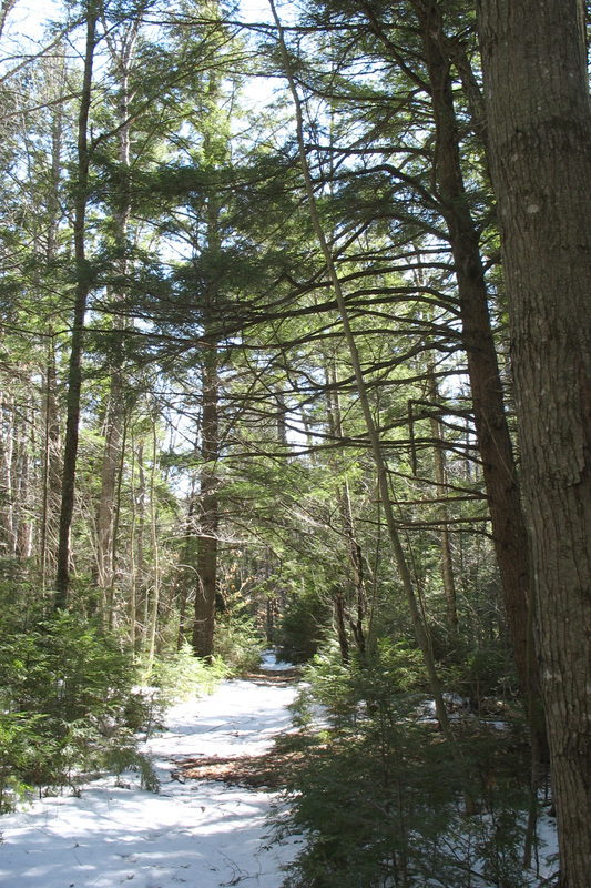
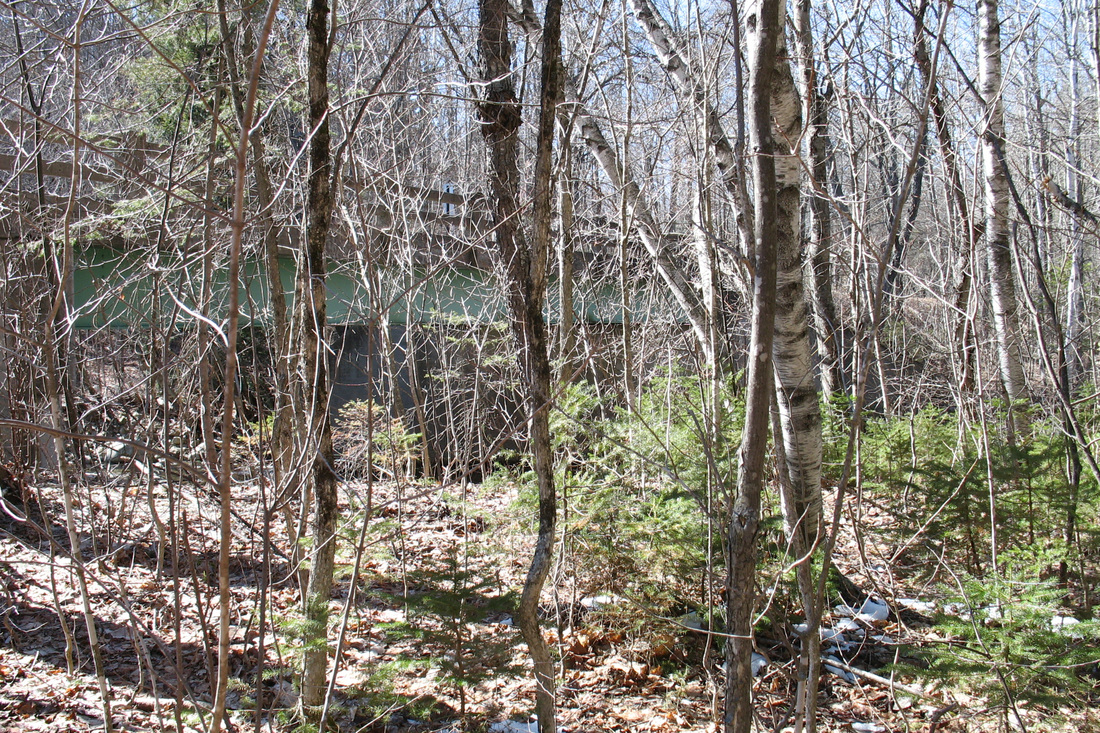
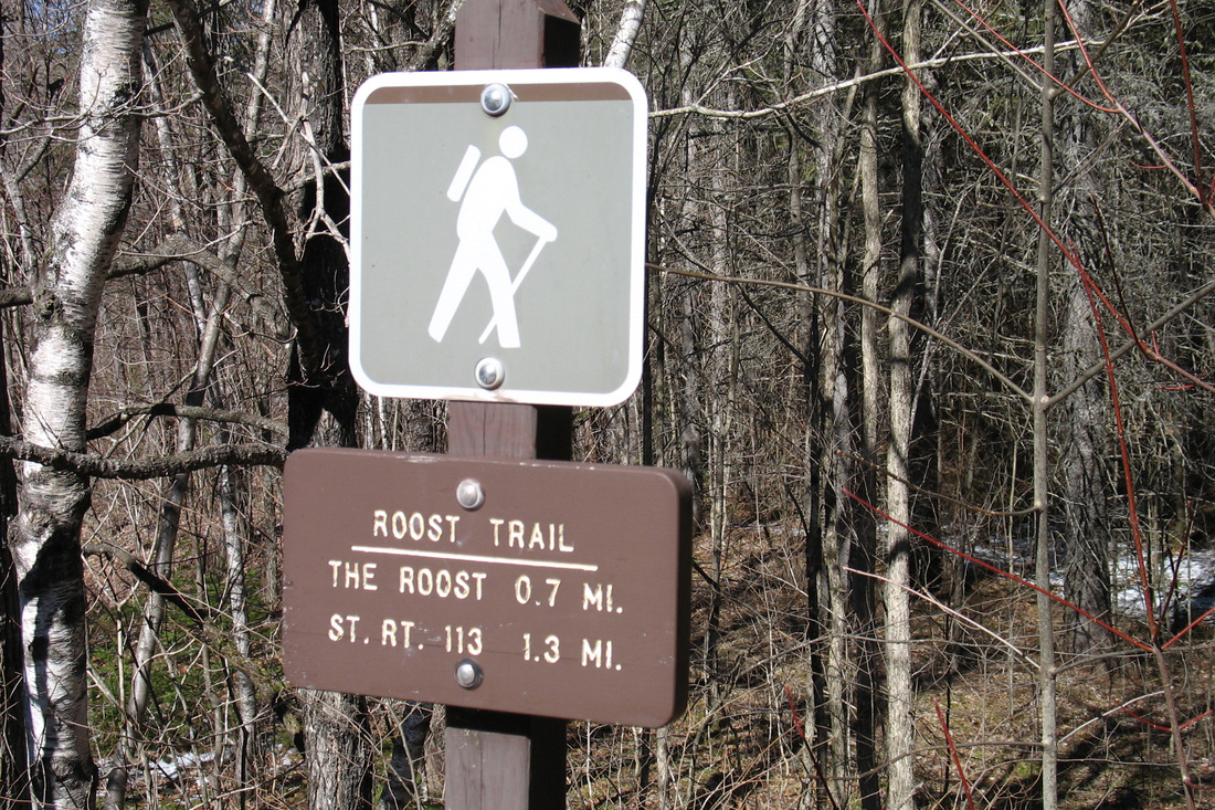
We had hoped to go for a bike ride on this sunny day but a good breeze and a wonky back changed my mind to hiking so Kevin and I made the short drive to the north gate on Rt 113 where we found several other vehicles. We set out walking up the road keeping a fairly brisk pace. The road here was mostly clear but still had some patches of slushy snow and ice from the storm a few days ago. Before long we came to the new north Roost Trailhead. The original trailhead right by the bridge has been well brushed in. It was a short but steep, heavily eroded scramble up from the road. The new trailhead is not far from the first and has well-built stone staircases to prevent erosion problems. After a short climb the route levels out and heads south to rejoin the original path. Kevin liked the flat part. So did I. Just before the end of the relocation there was a nice view through leafless trees to the suspension bridge across the Wild and down the valley. We rejoined the old path just at the top of the steep eroded section. We were getting pretty warm so stopped for a drink and a self-portrait. As we continued higher we reached the snow line where looking back showed mostly bare ground and looking ahead showed nearly full coverage. The snow never got terribly deep...just a couple-three inches at most. We were soon surprised to find ourselves nearly at the height of land and decided that meant we were not in such pathetic physical shape. A few more steps brought us to the summit of the Roost.
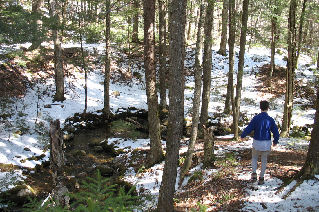
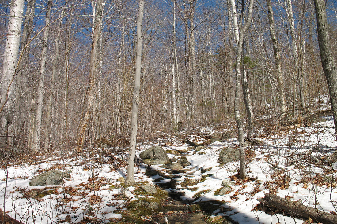
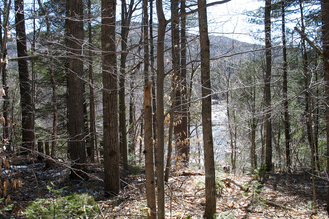
Kevin descending along a brook
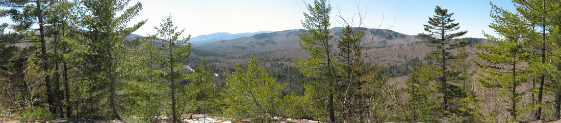
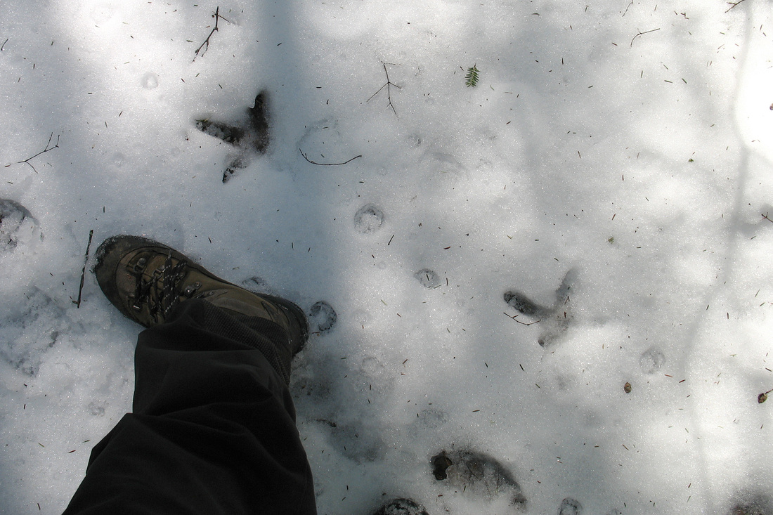
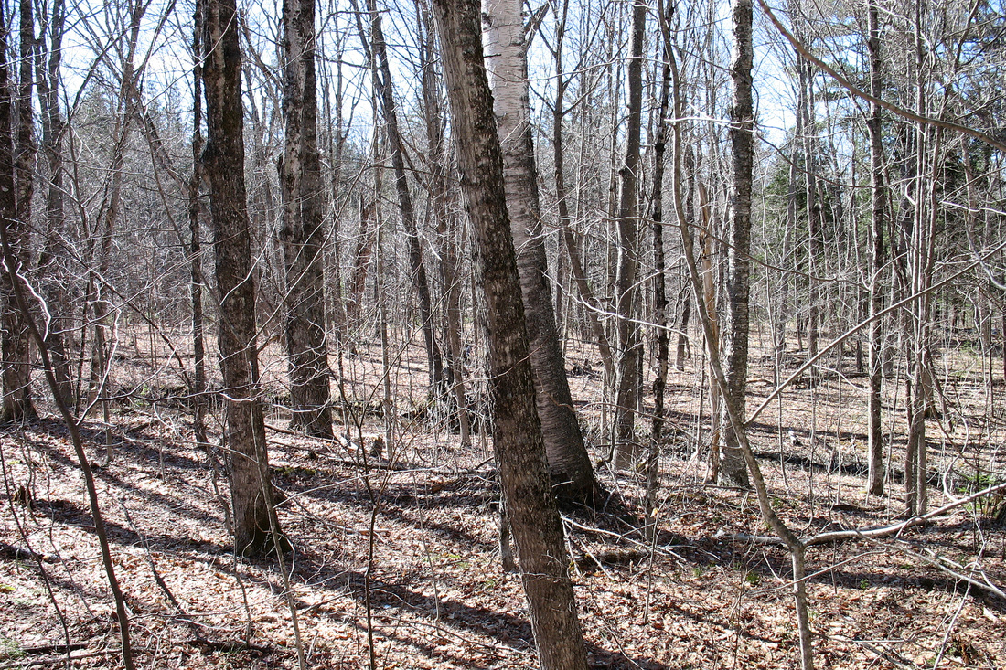
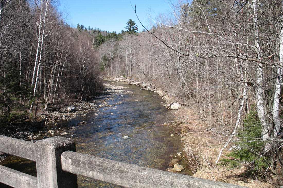
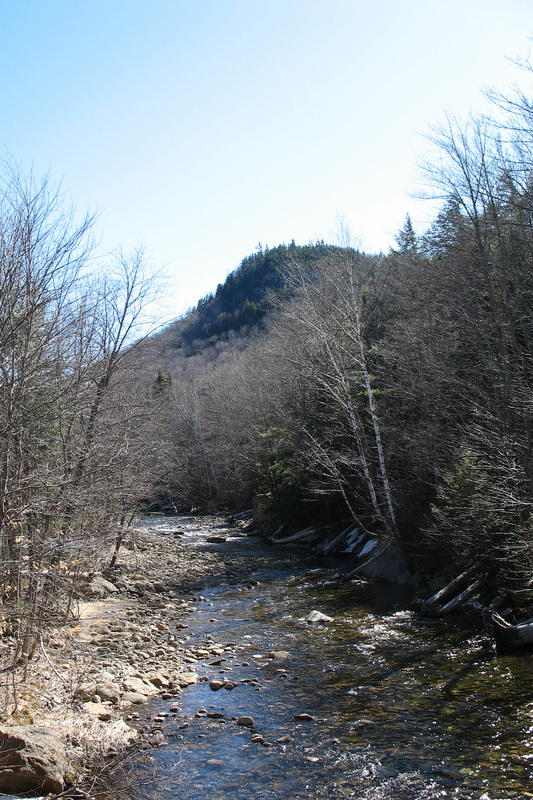
From there we took the spur path down a slippery slope of soft, slushy snow to get to the ledges with the southwestward view. We spent some time taking it in then headed back to the top to begin our descent. There seemed to be less snow on this side and we were soon back on bare ground. We came to a cool valley with a small stream that was easily crossed on stones and a down tree. In among these sheltering hemlocks we found more snow, especially along the old logging road just after the stream crossing. The snow was fortunate because it held some turkey tracks, although we did not see any birds. After crossing a final, tiny stream we walked though open woods and what once had been the township of Hastings. Not long after we saw Rt 113 bridging the stream we'd crossed earlier and came out at the south trailhead. From the bridge we got nice views downstream and upstream before following the highway back to the north trailhead and beyond to the gate. Our GPS track and elevation profile are shown below.