08 August 2012 Mt. Abraham, ME
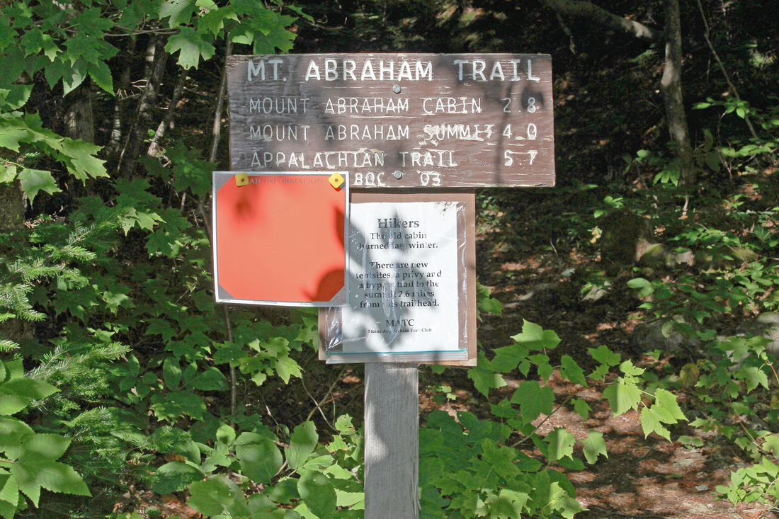
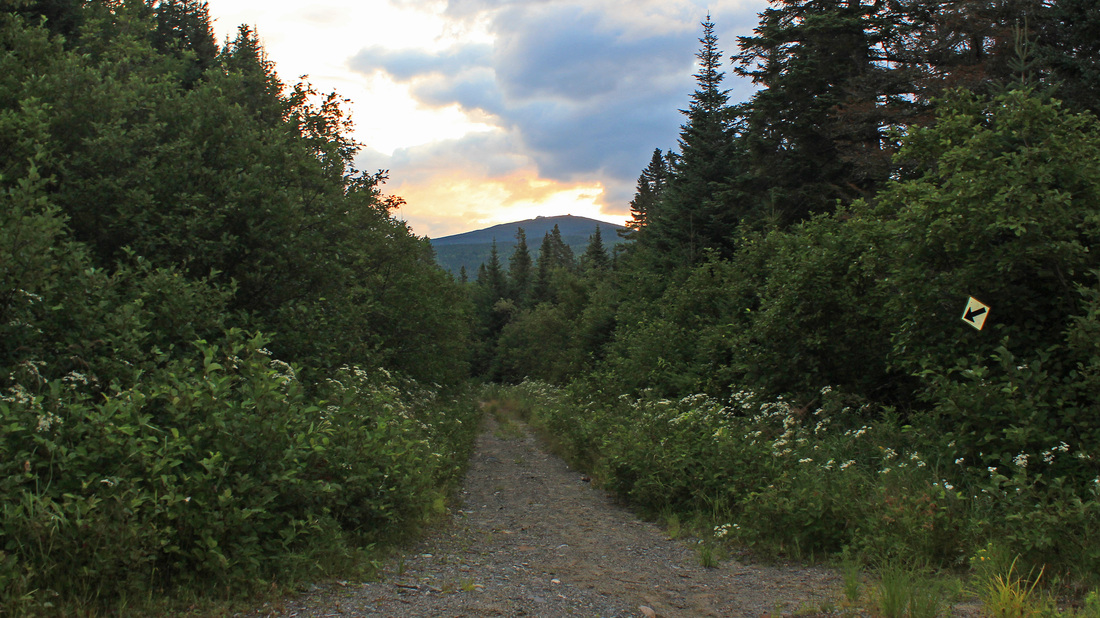
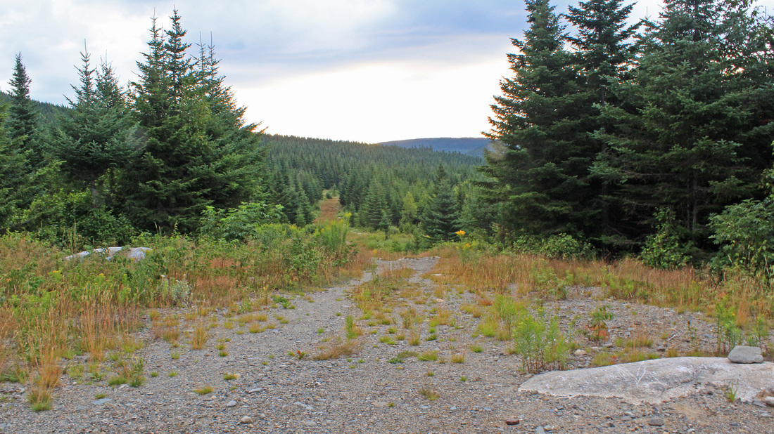
The official start of the trail up Mt. Abraham.
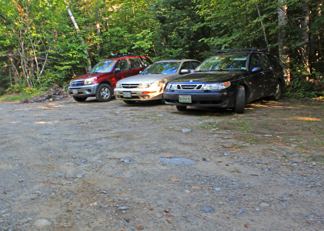
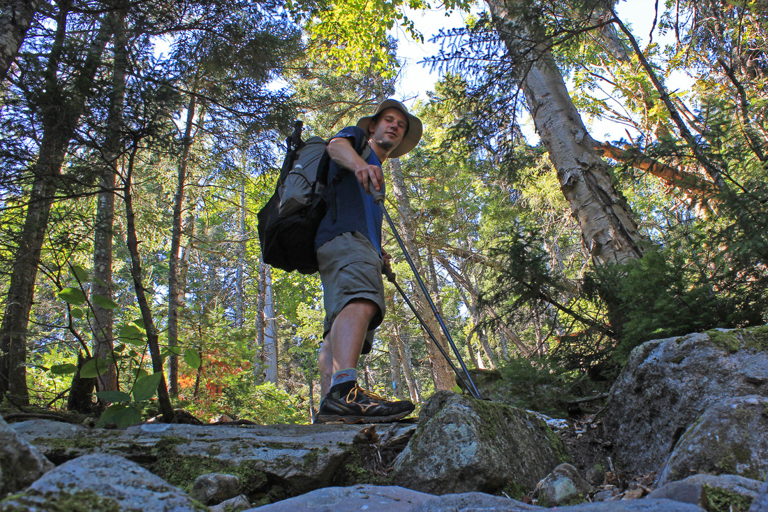
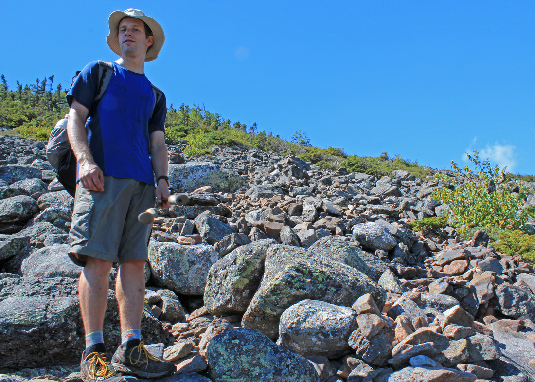
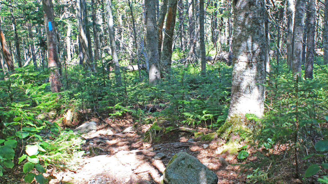
For the longest time I've had only a handful of New England four-thousand footers to climb in order to complete the list. I kept meaning to finish them off, but I'm so easily distracted. The Long Trail distracted me, even as it allowed me to finish off the Vermont 4's. The JMT distracted me in a very big way. Then I wanted to pull off a 20-mile day hike, something I hadn't done in quite a long time. So that distracted me, too. Countless other smaller and more local hikes distracted me. But, finally, my remaining 4k's began to distract me from other hikes I'd had in mind. This spring I visited Owl's Head. That left me with only three to go. Mt. Abraham and Mt. Redington, close neighbors in the Kingfield region, were next on the list. I got in touch with Ryan, who is always interested in a hike, and he was in. His Mom and her new dog friend were also in, for Mt. Abraham anyway. It would be the dog's first big-girl hike. We met in the parking lot of a small grocery in Kingfield and drove in along an increasingly narrow and rough road to park just before a pair of bridges that Hurricane Irene relieved us of last fall. We walked the quick half mile along the road to the trailhead and entered the woods.
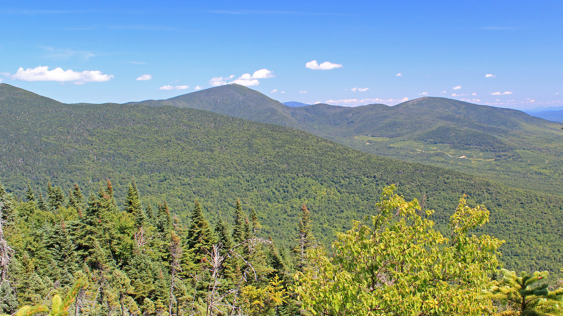
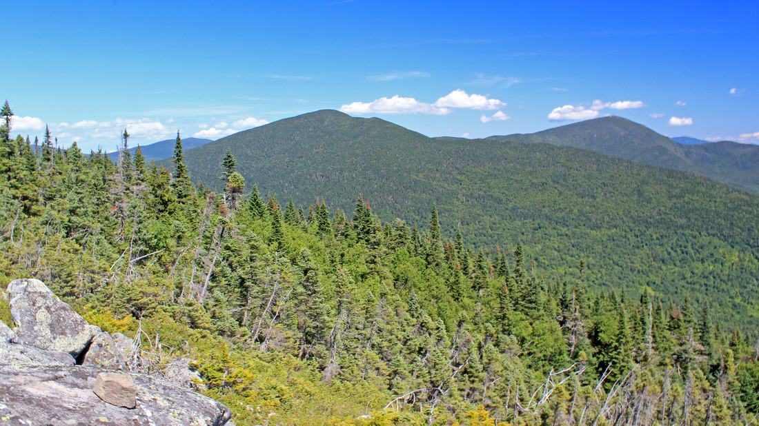
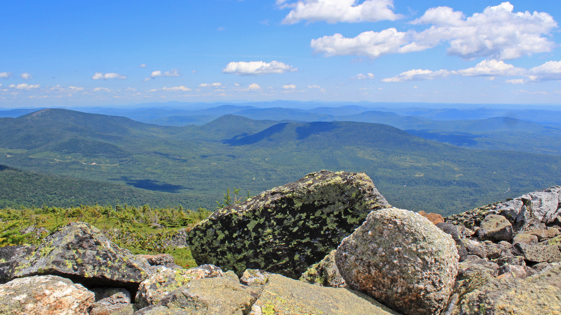
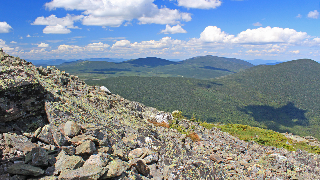
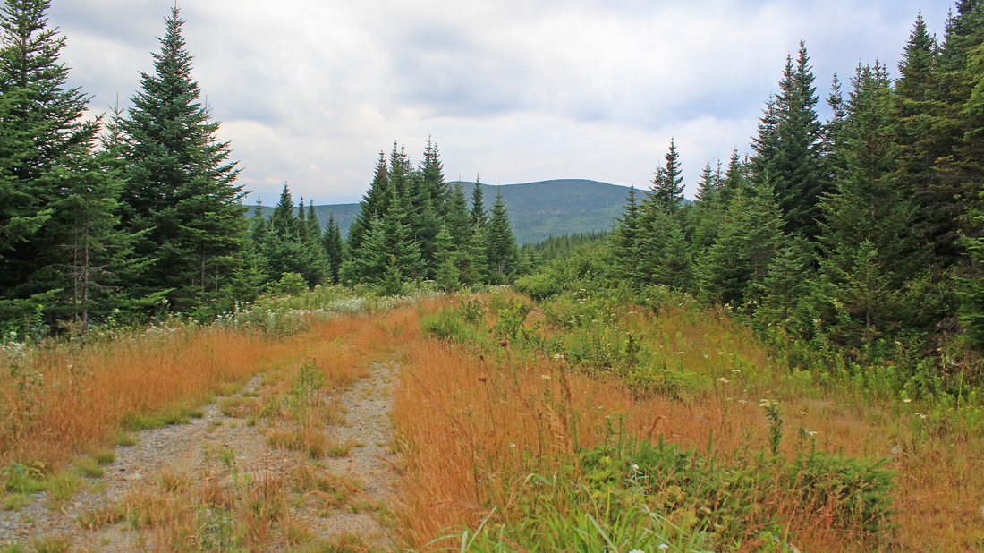
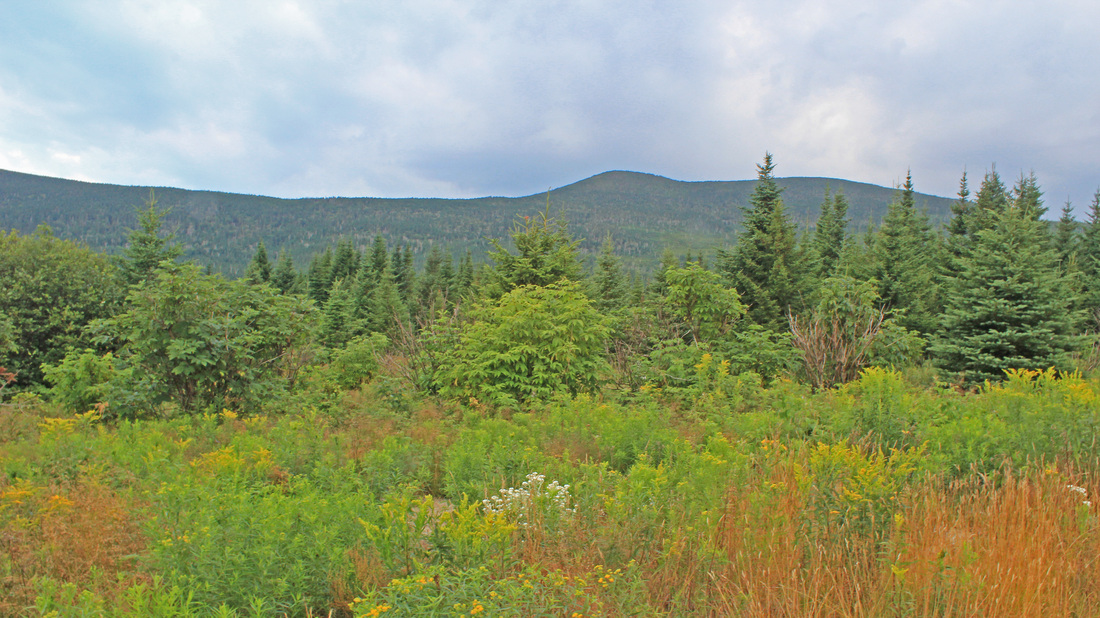
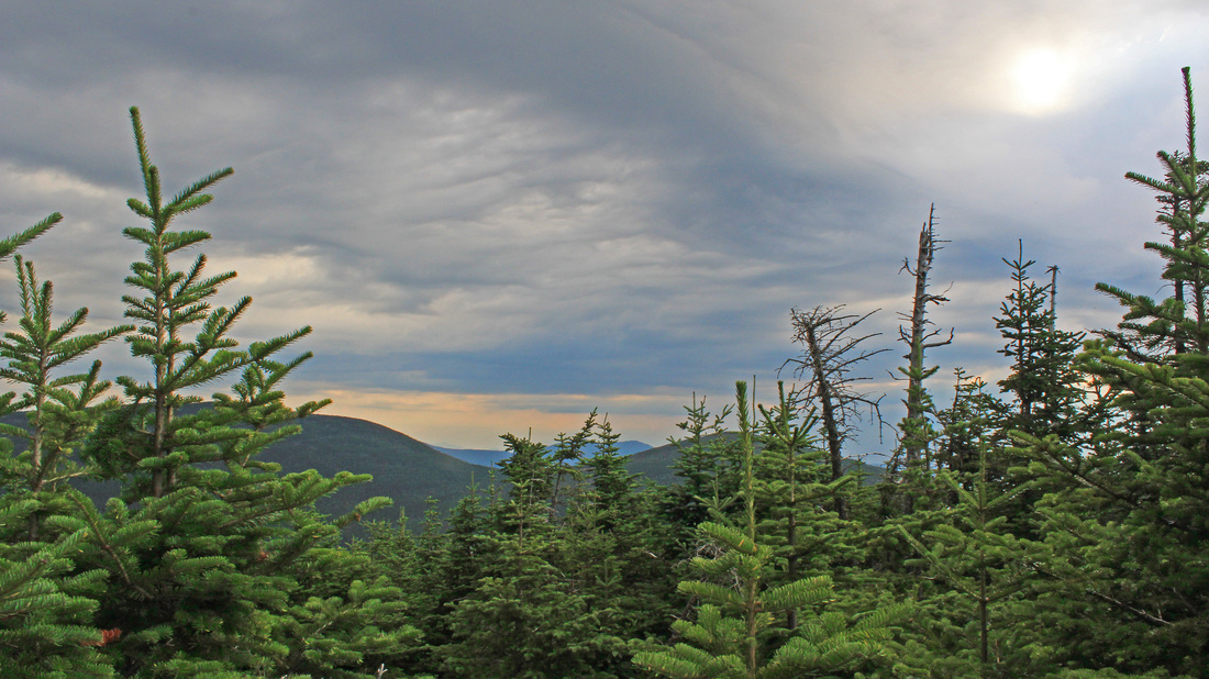
View to Sugarloaf from the side of Mt. Abraham.
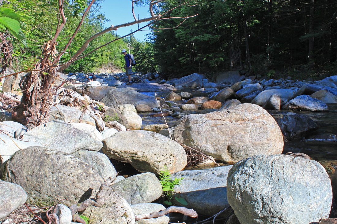
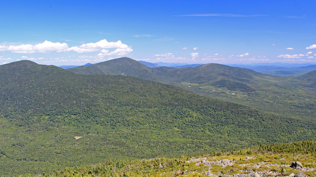
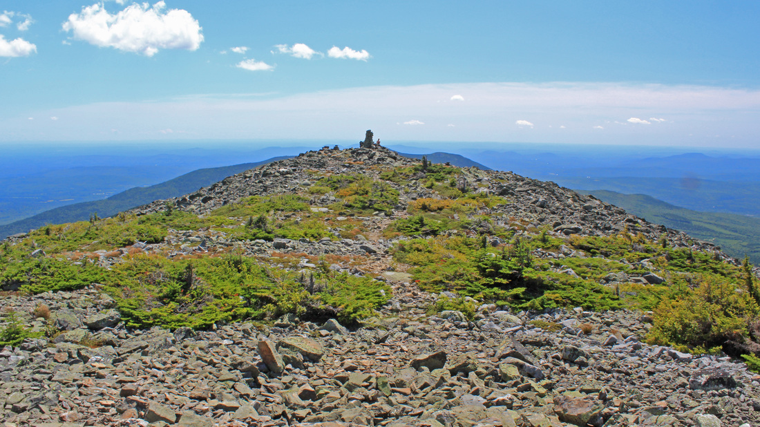
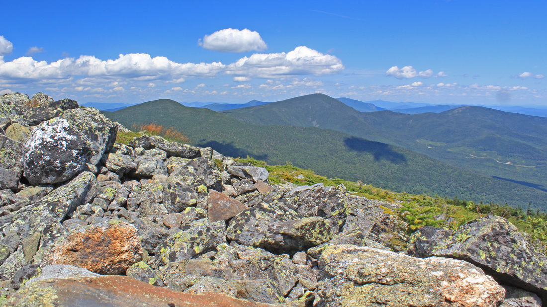
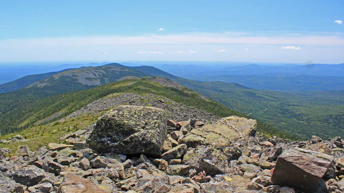
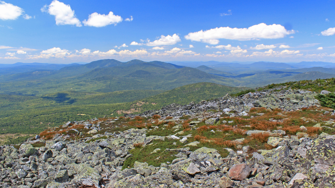
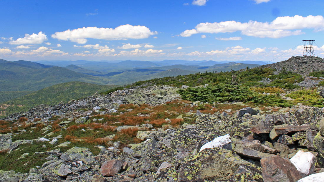
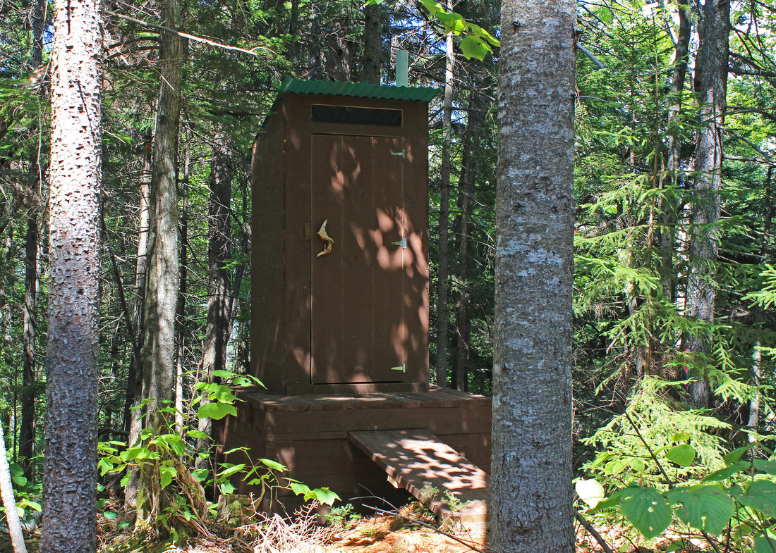
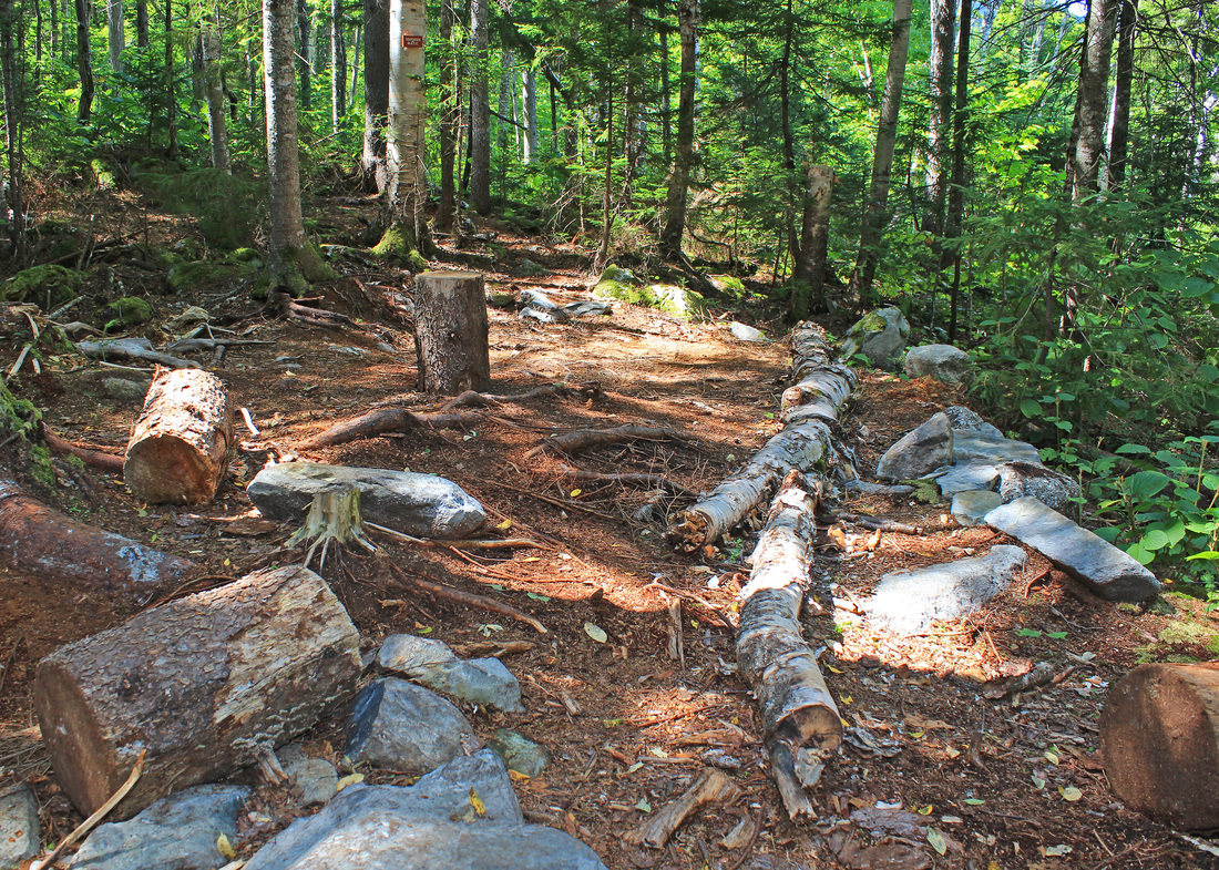
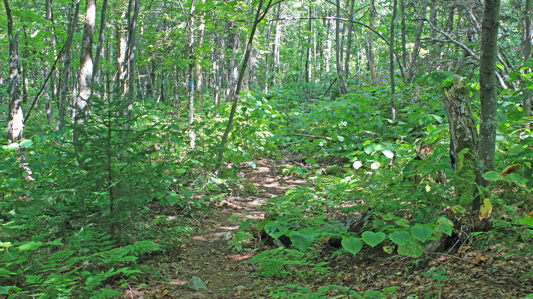
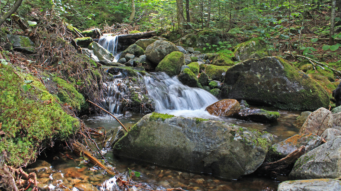
For the first few miles the walking was easy through very pleasant woods. The footing was comfortable and the climbing was gentle. I enjoyed it, and assumed I'd pay for it once the real climbing began. After a time, we came to the new campsite and stopped in for a look and to use the privy. The sites looked pretty nice and there is a group fire pit near the outhouse, which was home to a couple of rather large but slow-moving spiders. After our short break we set out and the upward part of the trip began. We climbed, but the trail was still in great shape. Before long we began to get views as we traversed the northeast slope of the mountain. It was a cool, sunny, and very clear day. Not long after that we broke treeline. From here the way looked very steep and rocky. And it was very steep and rocky, but the trail was well constructed so the effort was hardly noticed. We reached the summit well before I expected to, and we found a spot to settle in, have lunch, and enjoy the long panoramic views. After much eating, relaxing, and picture-taking, we began our descent. We stopped again at the campsite for a short break after the steeper part of the descent. From there we made great time back to the car park. Ryan and I pulled water from the now unbridged stream and made our way back through Kingfield and on to the Caribou Valley Road to get a head start on tomorrow's hike. We hiked a quick three miles up the CVR to its end at Caribou Pond. We pitched camp at this point, ate supper, and got a nice sunset view of Sugarloaf before bed.
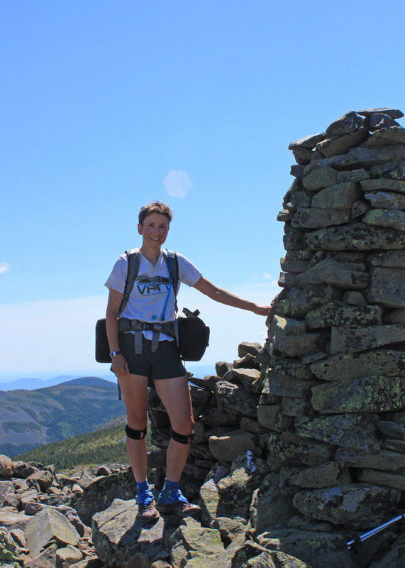
09 August 2012 Mt. Redington, ME
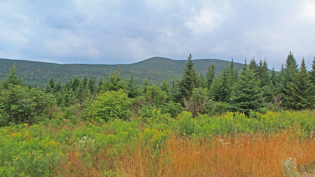
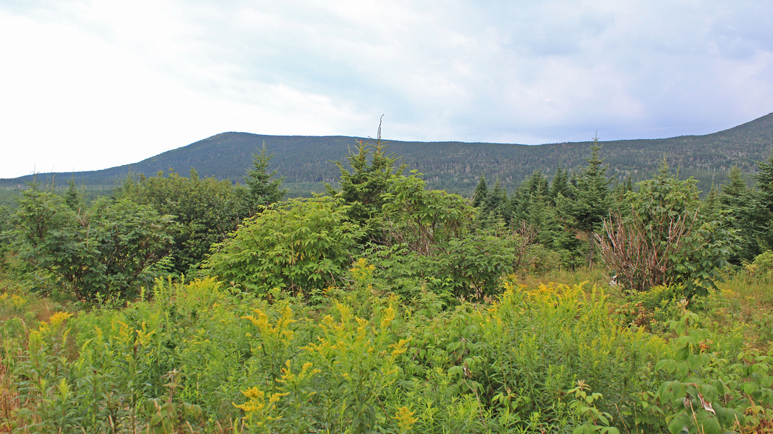
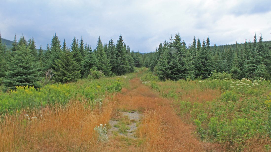
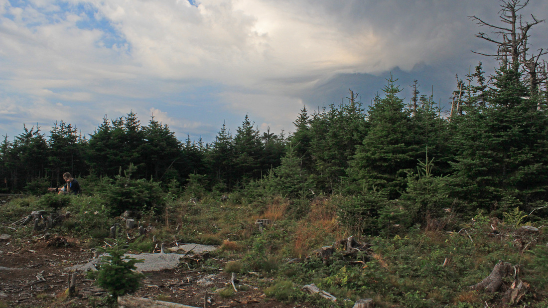
A nicer place than where we camped.
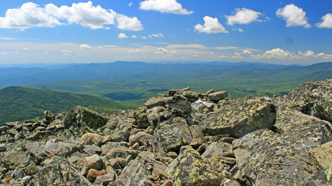
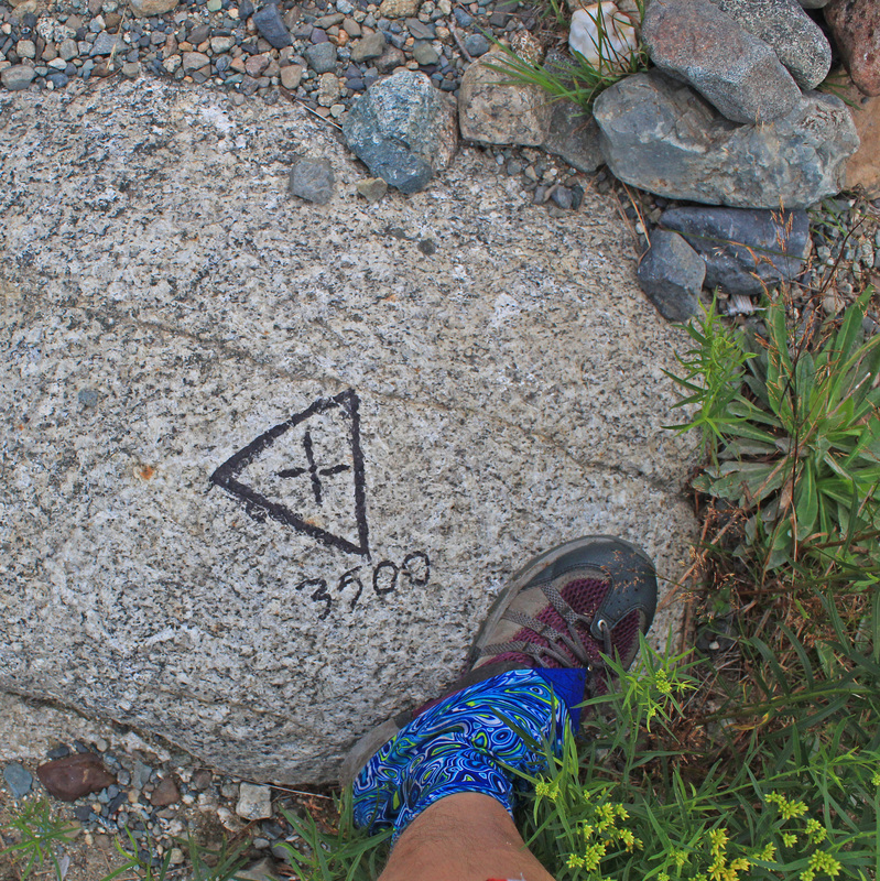
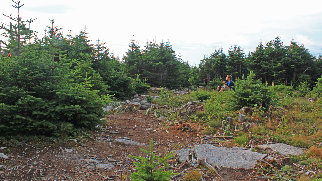
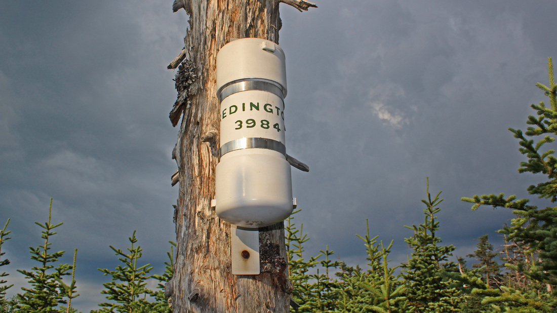
Before I left my house yesterday I checked the forecast and expected to get rained on last night and through today's hike. So far it was dry and, on occasion, clear overhead. The overcast seemed to be becoming heavier and more constant, though. I was up early, wanting to get as much of today's hike behind me before the rain began. We packed and ate a quick breakfast and then headed up an old logging road using directions I'd printed off from another hiker's online trip report. Redington is officially trailless, but it can be easily approached from two directions using old logging roads and herd paths. We were using the logging road approach. Before long we came to some spots that would have been much nicer for camping than where we kipped for the night. I made a mental note in case I ever find myself camping here again. As we climbed easily there were more grasses and more open Christmas-tree woods and wildflowers, including bottle gentians, a favourite of mine. At each junction with another road I pulled out my directions and we made quick progress. At each turn the road we followed got older, narrower, and less like a road until the way was not much wider than us. After an hour and a half we came into the summit clearing and found the register can. We signed in and found a place to sit and have a snack. Walking around the summit afforded a few views and it was clear that rain was nearby. then we began to feel drops so we packed up and started our descent. The rain stopped before we finished packing but I kept my rain cover on the pack just in case. We backtracked five and a half miles back to our cars in about two hours. It remained overcast but we had no more rain. Indeed, I was about halfway home in my car before the rain came, and then it came in buckets. Now only one four-thousand footer remains to be visited in the fall.