01 September 2012 Willey-Zealand Loop, NH
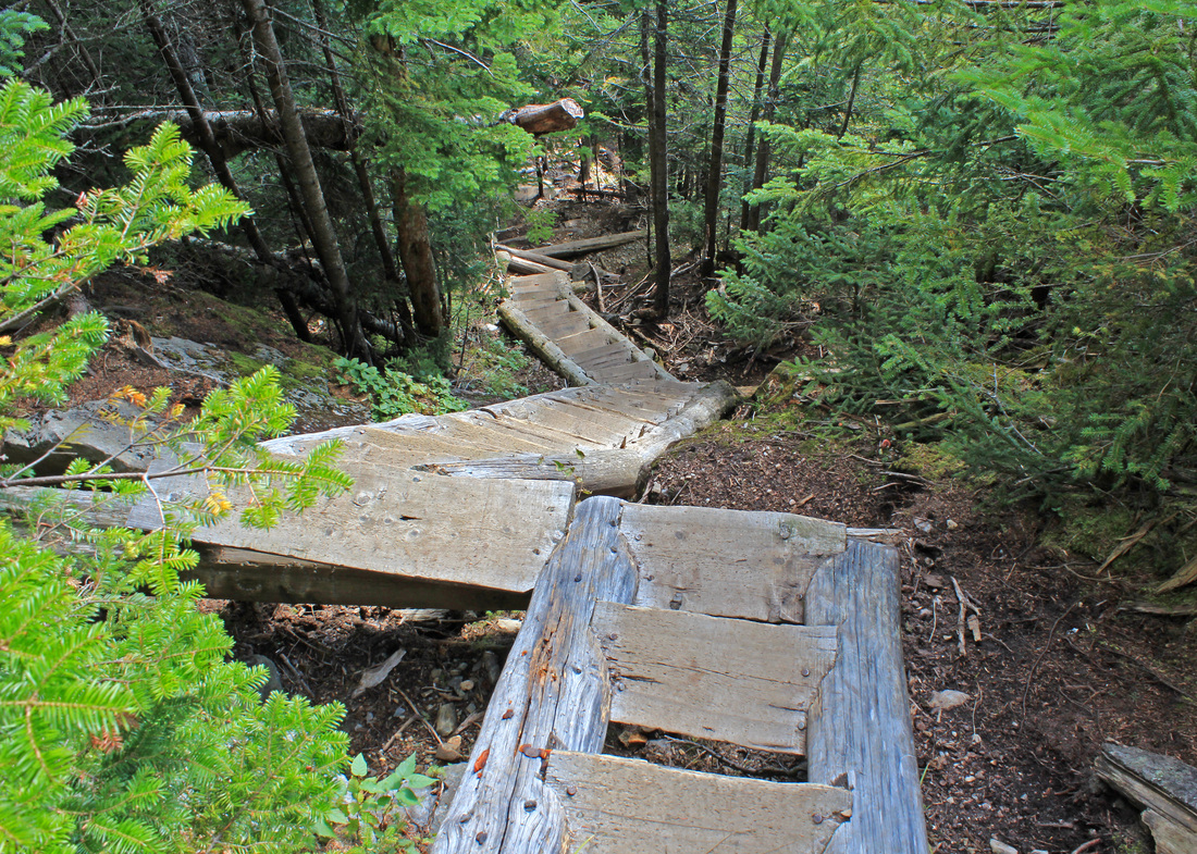
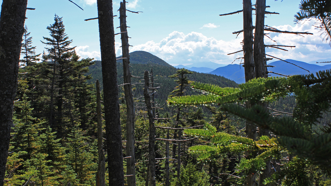
From atop a set of Willey stairs
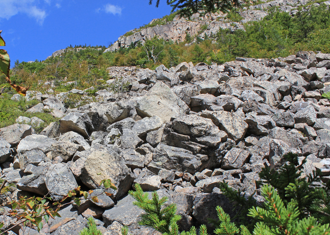
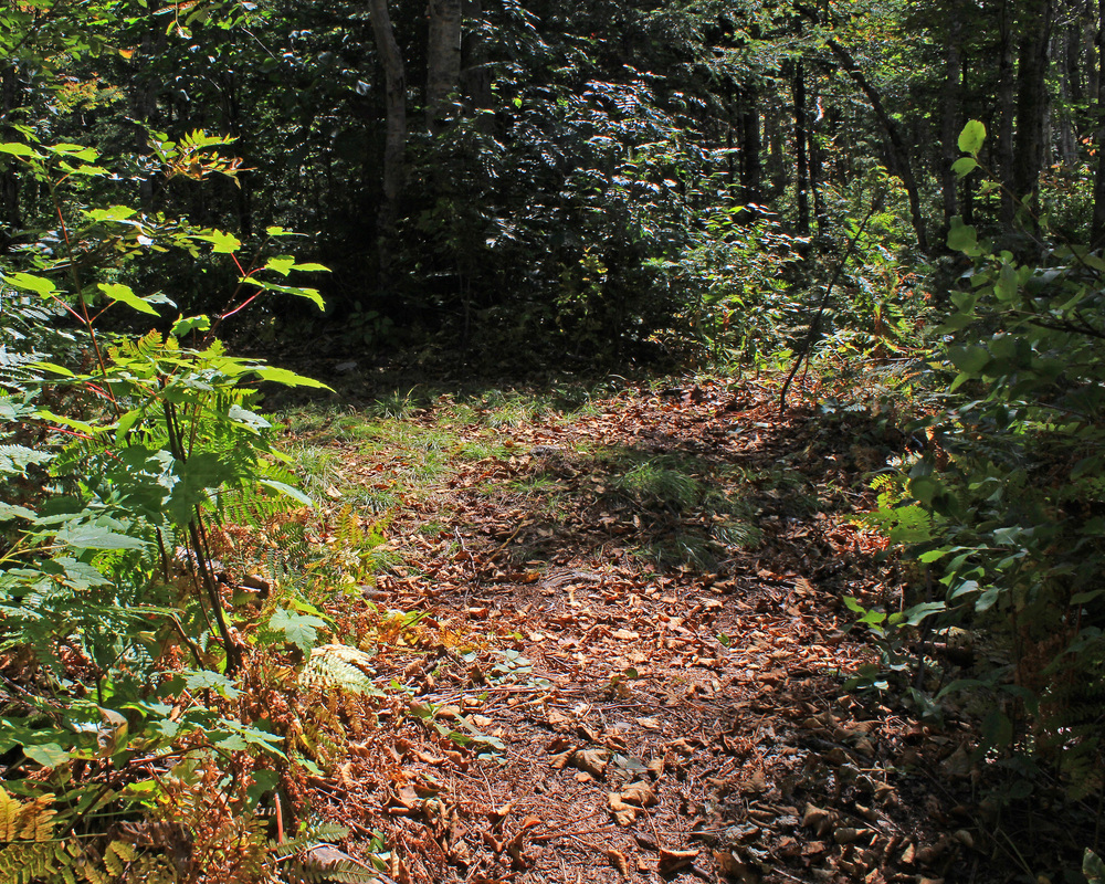
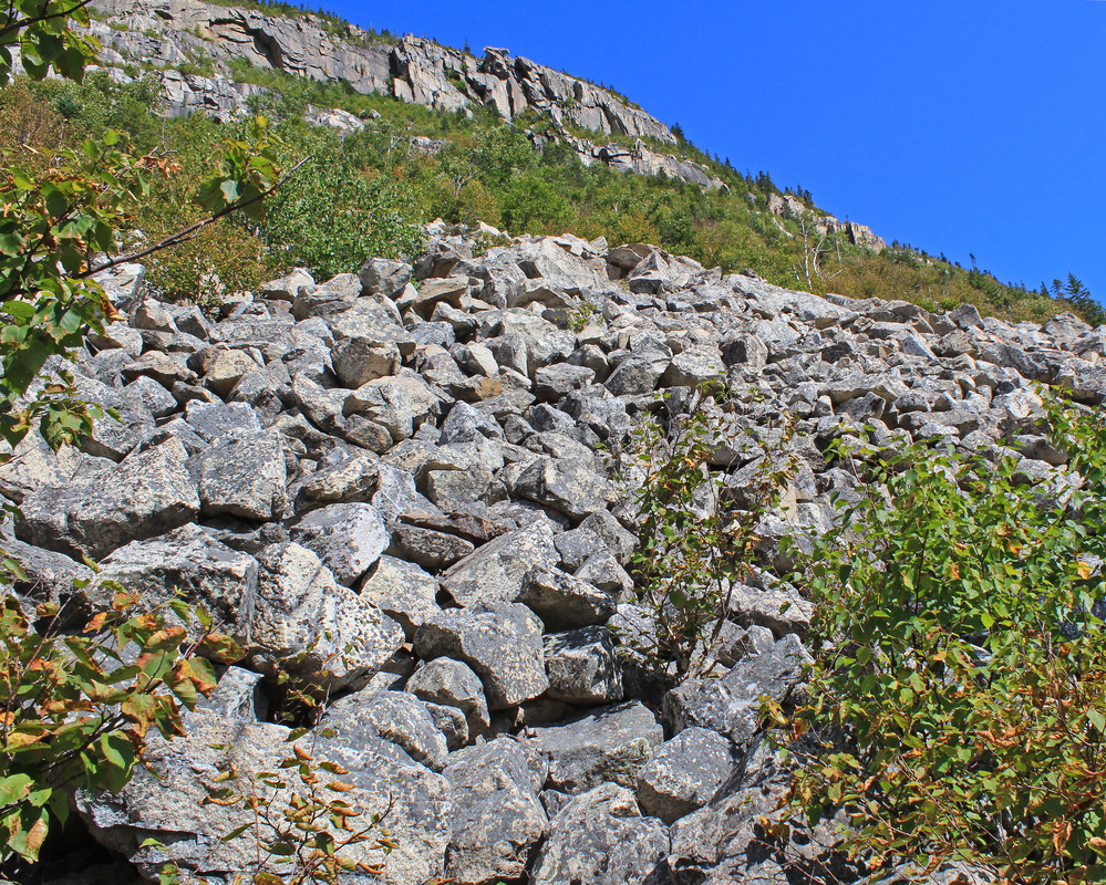
On the map it looks like a beautiful, full-day lollipop loop with multiple options for starting points and directions. My knees have been giving me grief lately, so I chose to go in from the southeast corner and march straight up Mt. Willey to begin my day. This would put almost all of the climbing and descending in the first few hours of my day, when my muscles were at their best. I had only come this way once before, this past winter when the route up Willey was a near-vertical, slick wall of compressed snow. It wasn't fun to climb then and it was treacherous to come down. I did so facing into the slope, tip-toeing down until I thought my calves would explode. With that as my history, up was my preferred direction for this bit of trail. So out I set, making good time along the Ethan Pond Trail out of Crawford Notch. I met a the first of many hikers enjoying this fine late-summer day, but none doing my planned route. Soon enough I came to the junction with the Willey Range Trail and the climb began. It was as steep as I remembered it until I came to the stairs. This excellent example of trail work was filled with hard, icy snow on my last trip, and the stairs were much more of an obstacle to be negotiated than any kind of assistance. Today, though, they were a pleasure to climb. As I did so, the temperature dropped and the air dampened with fog. A slight breeze picked up. A bluebird sky had been in the forecast when I left home, was it not to be?
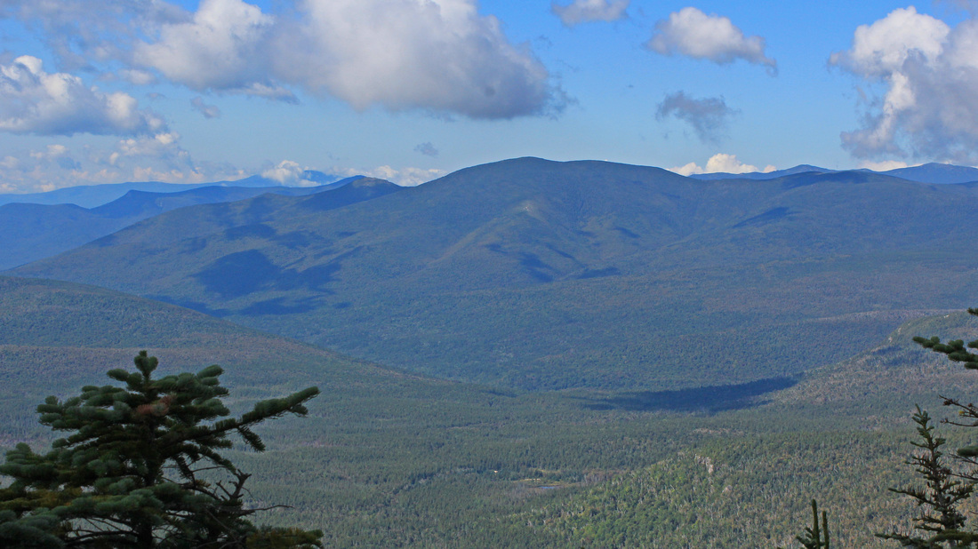
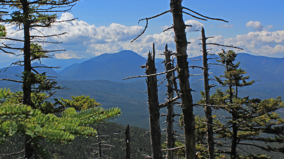
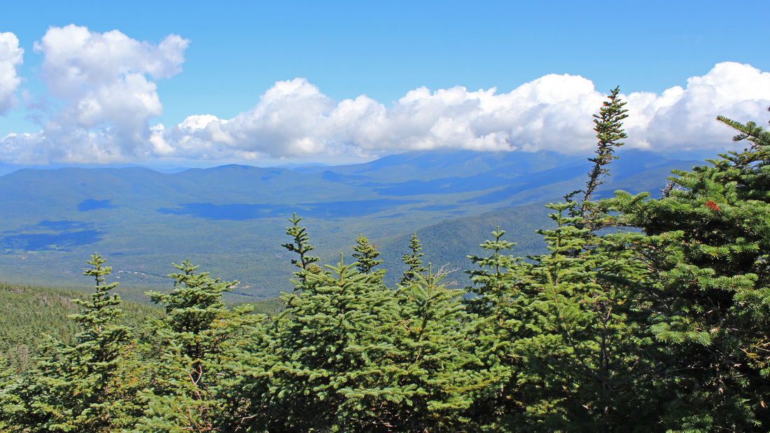
A splendid day to the west of Mt. Willey
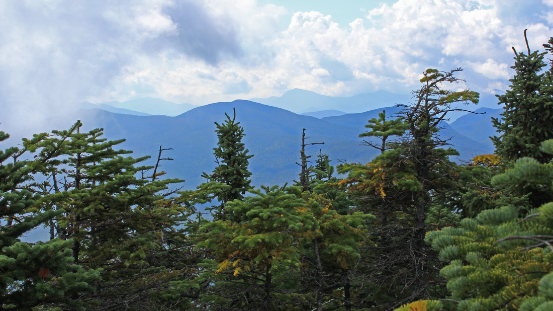
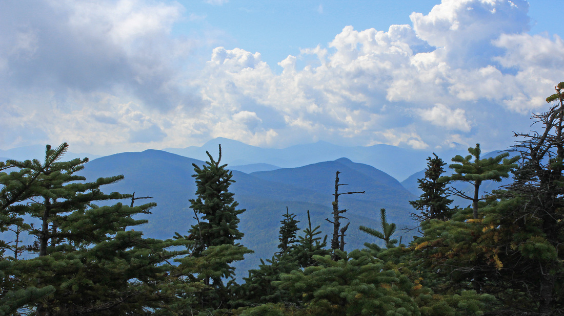
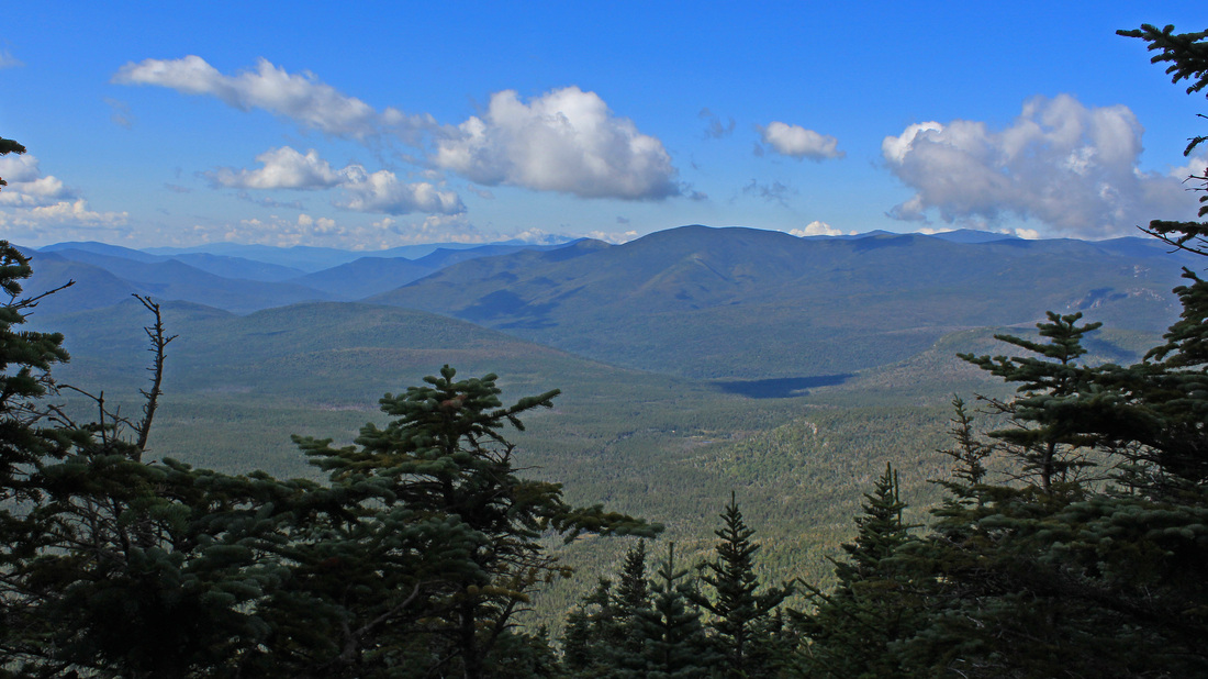
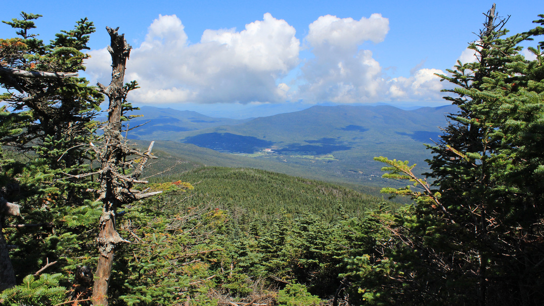
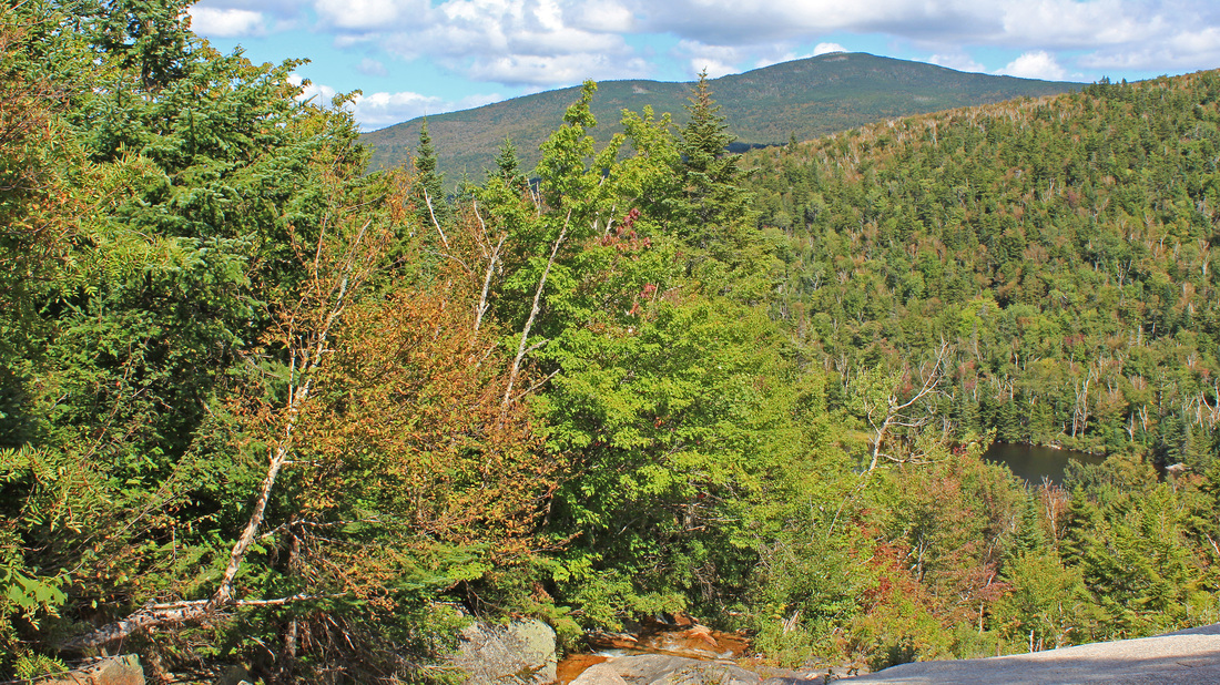
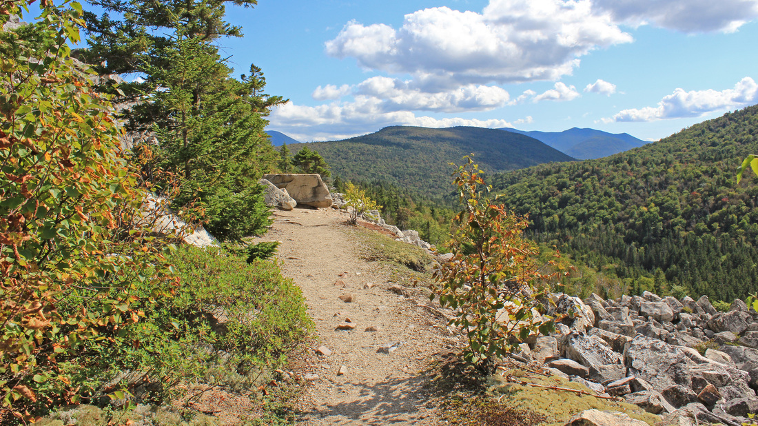
After the stair-climber, and after even more on-trail climbing into thick skies, I reached the summit of Mt. Willey, which began a 2.3-mile ridge run. I stepped over to the eastern view point and looked at the fog. It seemed to be centered over Mt. Washington but also engulfed the east face of Willey. To the south, over the trees, the skies looked clearer, and clearer still to the west. Indeed, after I passed over the summit and was about to begin my descent, I came to the ledge with a fine view to the west, and they seemed to be having a lovely day! Fortunately, that's where most of my day would be spent as well. It was an easy descent to the north and I enjoyed a nice ramble along this ridge. There were a few shots through thin trees to the west which continued to be encouraging. After a bit of flattish walking I began a gentle climb which I took to be the bump that the guidebook mentioned was between Willey and Field. The climb steepened a little bit and I was on Mt Field! Already! I don't know where that bump was but I missed it completely. Mt. Field is sometimes reviled as a viewless waste of time, even by some folks I passed on the ridge who were on their way to Willey. To the east from the summit was a muddy, stumpy path. I followed it a few steps to the reputedly lousy viewpoint and had a great look. Mt. Washington had withdrawn most of her clouds and fog but still wore a fine shroud. A hint of autumn color could be seen over the valley hardwoods. On my way back to the summit I took a few steps along the ridge trail to another fine view to the west and north. Not bad for a lousy view! I returned to the summit to hang out with the gray jays and eat my lunch. These bold birds will eat your sandwich right out of your hand, and folks sharing the summit with me advised me to watch out. In fact, I brought some trail mix along just for them. A few birds began to approach my outstretched hand with its offered treat. I had my camera ready to fire off a stream of shots as they flew in for the bounty. Just when I thought a bird was about to go for it, a group arrived with a couple of dogs and the gray jays beat it. Oh well, gray jays. Some other time.
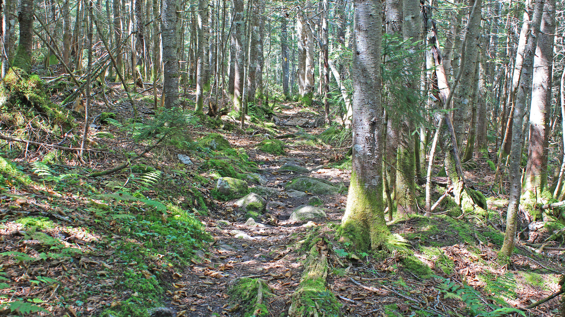
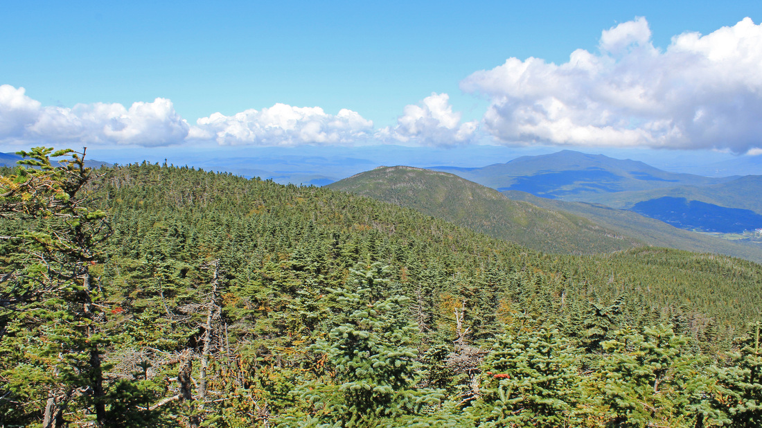
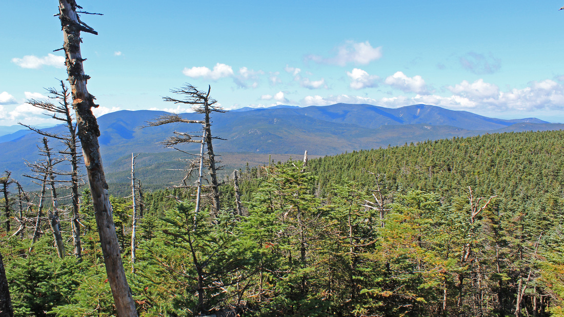
Open balsam woods on the A-Z Trail
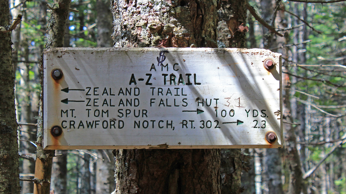
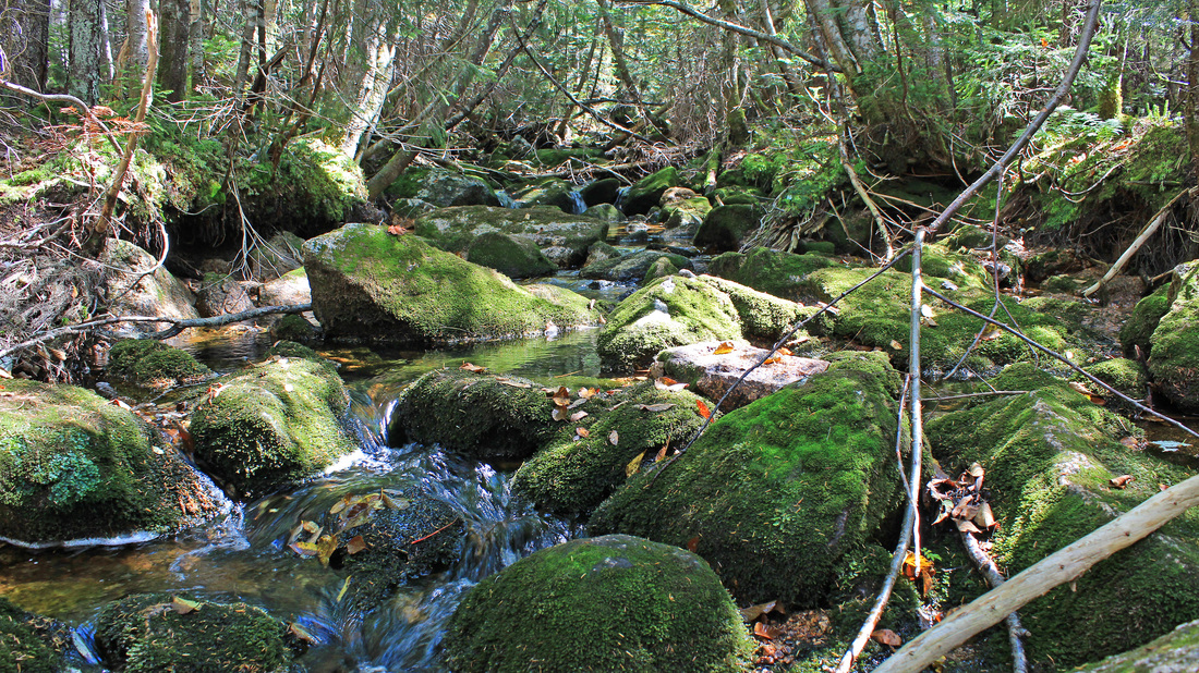
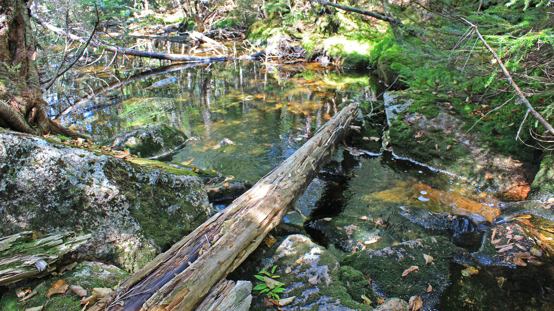
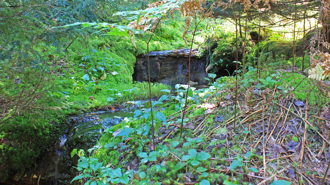
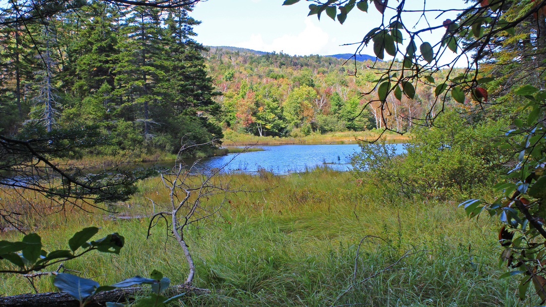
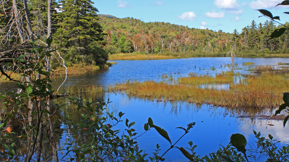
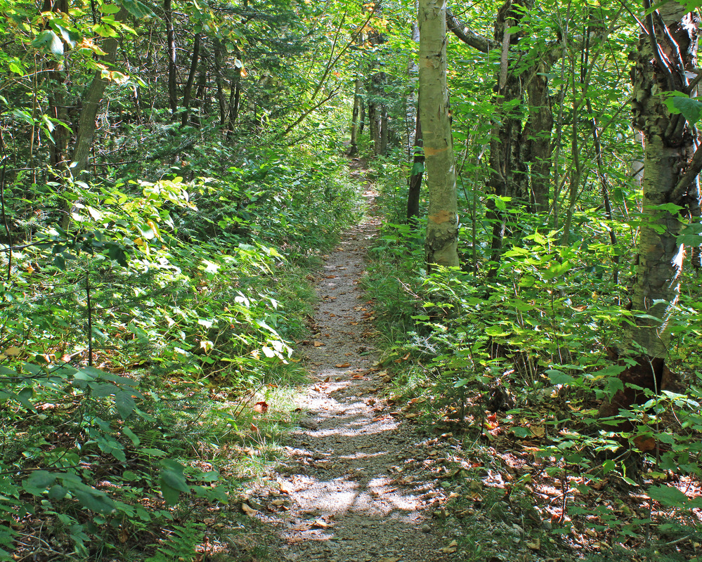
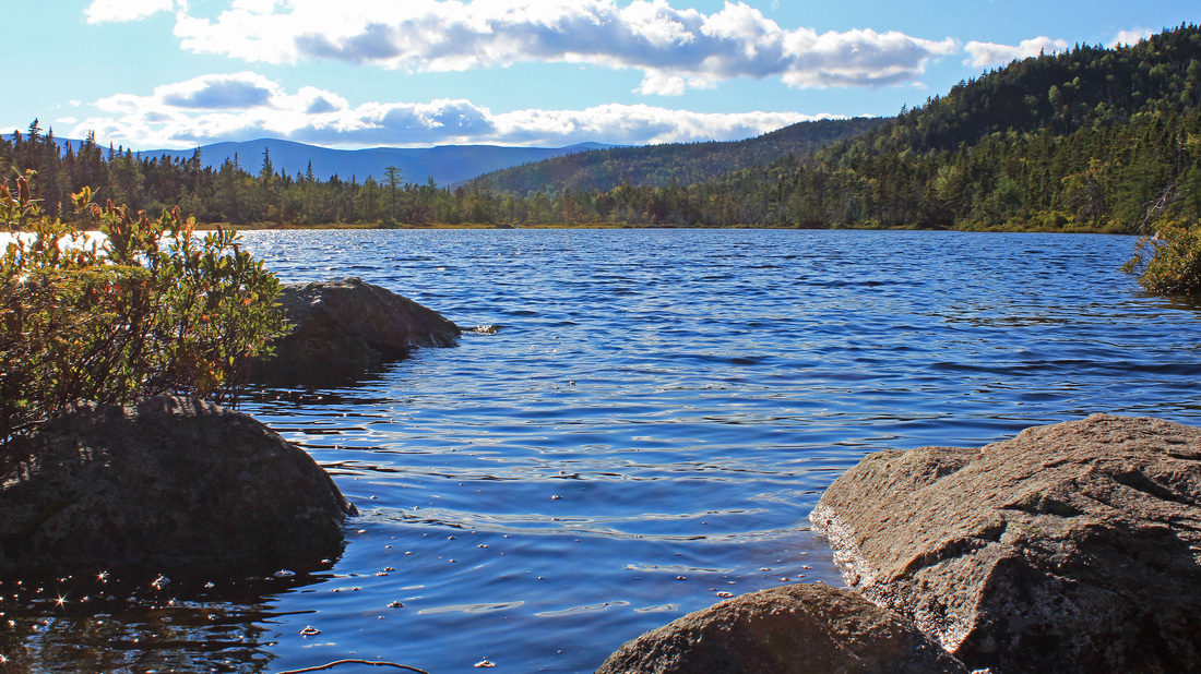
From the summit of Field it was an easy stroll to the Field-Tom col. I decided not to visit Mt. Tom today as I already had plenty of miles to walk. At this junction I turned left onto a section of the A-Z Trail that I had never hiked before. The descent was somewhat steep and plenty rocky. The woods were nice, though, and before too long the grade eased and the tread smoothed. From here to my car the terrain would be easy. I could now relax and enjoy a casual saunter through the woods. And saunter I did, through a birch glade, crossing small, mossy streamlets, and passing by an interesting, grassy clearing on the left (south) of the trail. It looked like a small bootleg campsite, but it wasn't heavily worn. I wondered if it was a commonly used entry point to the popular bushwhack of Whitewall Mountain. Moving on I came to a large pond to the north - one of the Zealand Ponds. I admired the peaceful pond in its warm, September light. In the distance a bird paddled along its surface.
Just off to the right, a couple is getting engaged.
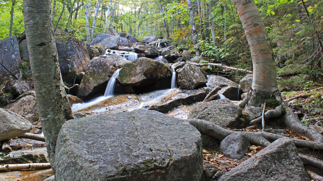
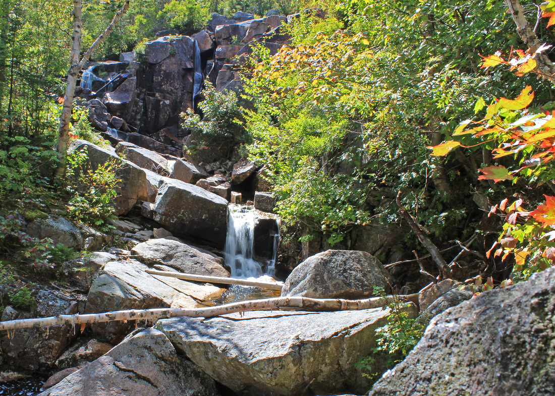
Almost immediately after leaving the pond I arrived at the junction with the Zealand Trail, and followed that to its junction with the Twinway. Zealand Falls and the eponymous hut were only a few tenths of a mile detour up the Twinway so up I went. It was a steep and rocky, but short, climb to the hut. There were a couple of viewpoints to the falls along the way. They weren't full, but they were lovely nevertheless. I arrived at the hut, and took the short path to the (almost) top of the falls where the ledges are flat and sunbaked and made for basking. There were many visitors enjoying the ledges today. As I worked my way around the ledges, taking pictures of this or that, a couple moved in very close to my right. It was pretty cozy but I was shooting more to the left so I didn't worry about it. Then the man dropped to his knee and the woman - and I - realized she was being proposed to. So that was a little more awkward. I had finished making my pictures so I moved off to the hut for a snack before returning to my route.
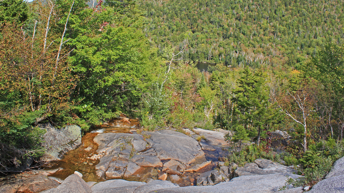
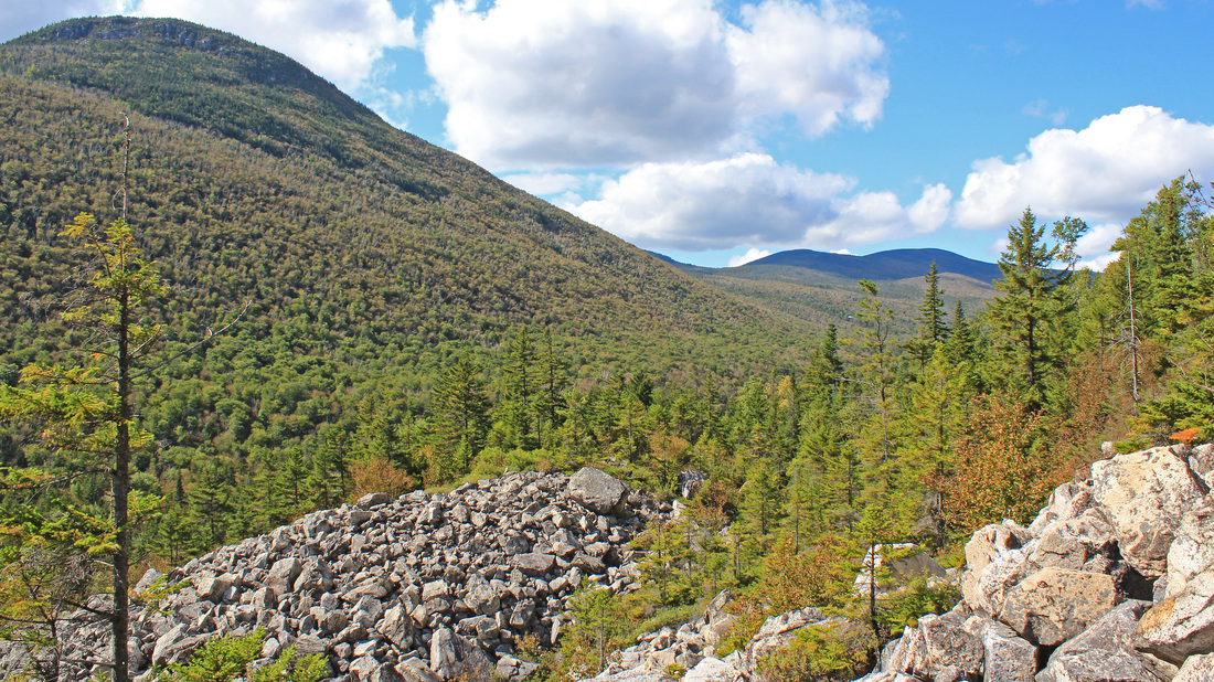
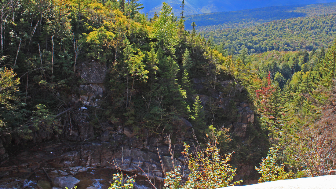
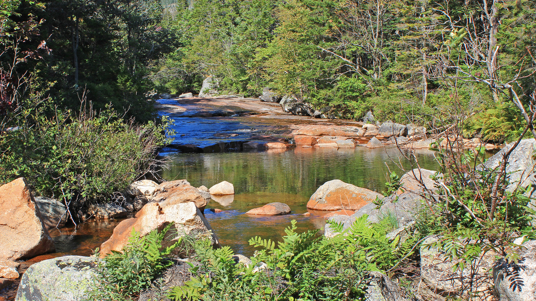
The white wall of Whitewall Mountain
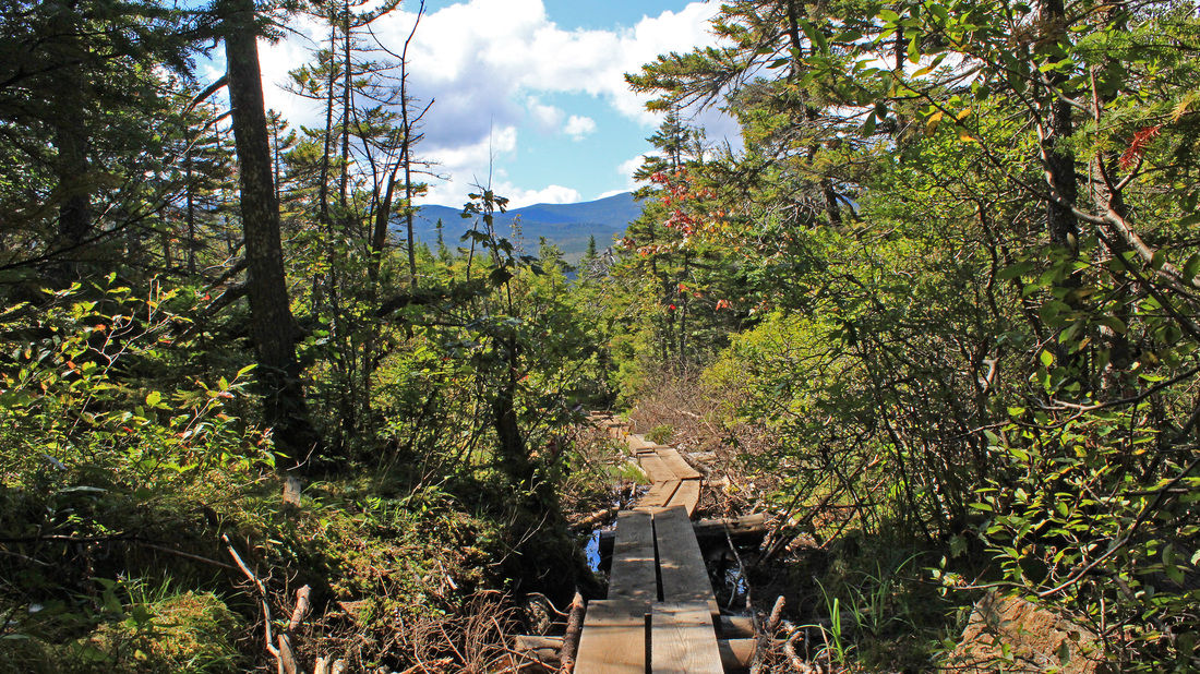
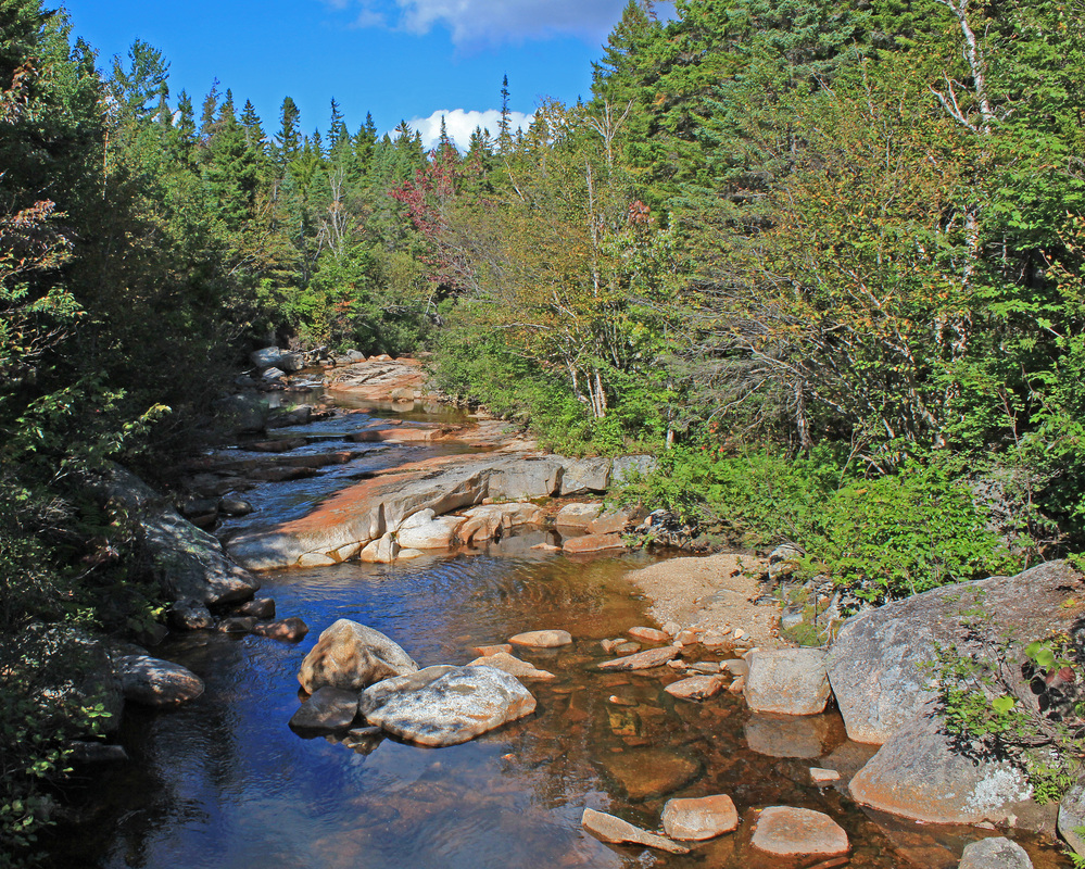
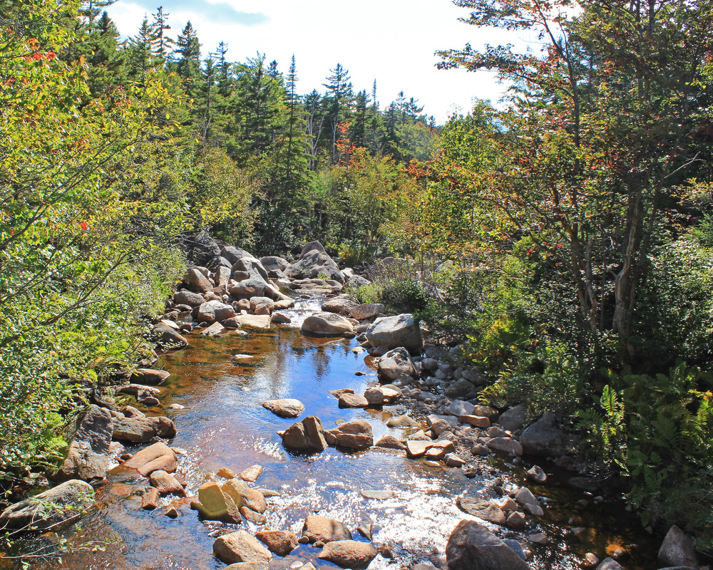
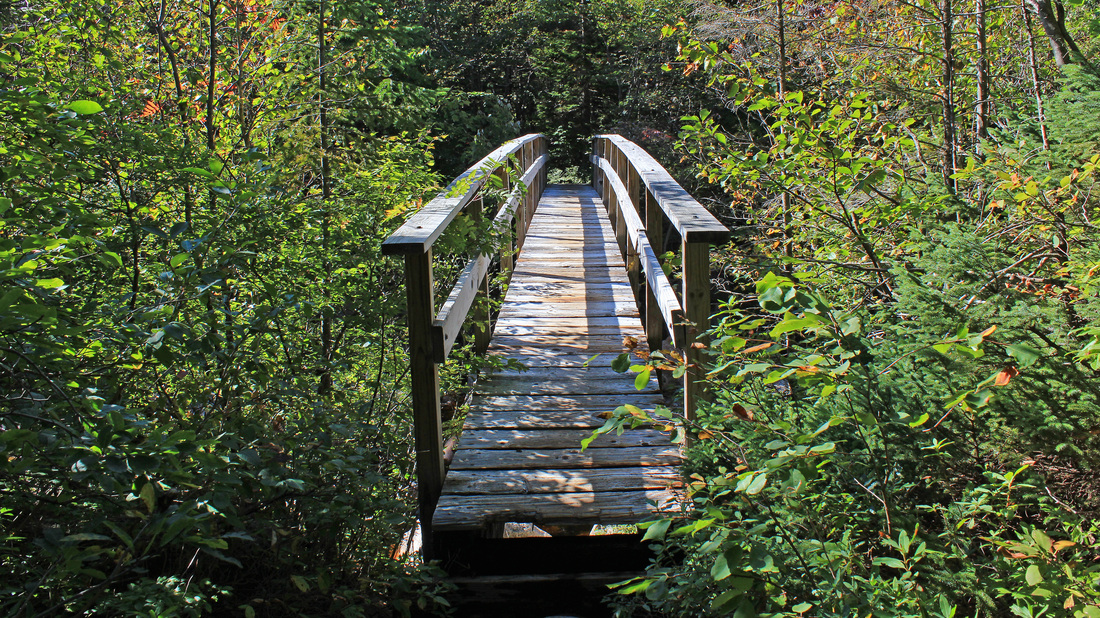
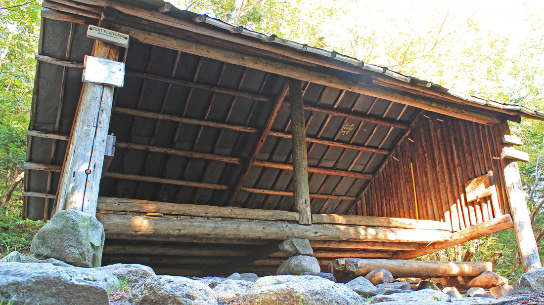
At the junction I got on the Ethan Pond Trail. My last trail of the day! And seven miles to go. The trail headed south on an old railroad grade through the notch between Whitewall Mountain and Zealand Mountain. About a mile in, the trail broke out of the woods into a rather dramatic open section. The trail was on a sidehill with the cliffs of Whitewall looming overhead to the east. Across the valley of Whitewall Brook stood Zeacliff. A view south through the notch stretched over Thoreau Peak to Carrigain and the Hancocks, and looking back, at the head of the valley was the roof top of Zealand Falls Hut. I linger over this section every time I hike through it. Another mile brought me to the Thoreau Falls Trail. I love me some falls so I took the short side trip. I stepped out onto the ledge at the top of the falls and found several other people here enjoying the day. The sun was in my face, making good photos hard to come by so I contented myself with a snack and a rest before backtracking to the Ethan Pond Trail. The trail swung east here and crossed a bridge under which the North Fork of the Pemigewasset River slid between large rocks. I continued east through attractive, mossy woods that opened occasionally to give tempting glimpses of the river to my left. I was climbing, but it was so gradual as to go unnoticed. My last side trip of the day finally appeared. The spur path to Ethan Pond and its shelter carried me a tenth of a mile to the north and skirted the rocky shore of the pond, requiring a few well placed hops on my part. I paused briefly at the pond before dashing up the hill to look in on the sturdy shelter. A group of kids were camped nearby with their teachers. They were an early orientation group from Proctor Academy. I returned to the pond for a snack and to enjoy the sunny, watery view. Dave, one of the Proctor leaders, came down to filter water and we chatted for a bit.
From there it was an uneventful mile to the junction where I closed the loop portion of my lollipop. I retraced my early morning steps, still along the Ethan Pond Trail, back to my car.
From there it was an uneventful mile to the junction where I closed the loop portion of my lollipop. I retraced my early morning steps, still along the Ethan Pond Trail, back to my car.
 RSS Feed